

Civil War authors J.D. Petruzzi and Steve Stanley are standing near the Carroll’s Tract Road in the area of its intersection with the Fairfield-Gettysburg Road. This view was taken facing northwest at approximately 4:00 PM on Sunday, September 20, 2009.
In today’s Fairfield post, J.D. Petruzzi and Steve Stanley provide background to the Battle of Fairfield which occurred on the afternoon of July 3, 1863.

This map shows the location of our Fairfield videos. The Google Map photograph was taken during the winter with snow on the ground. Videos #1-#3 were shot at the intersection of Carroll’s Tract Road and the Fairfield-Gettysburg Road (Pennsylvania Route 116). This map was created facing north at approximately 7:00 PM on Monday, October 5, 2009.
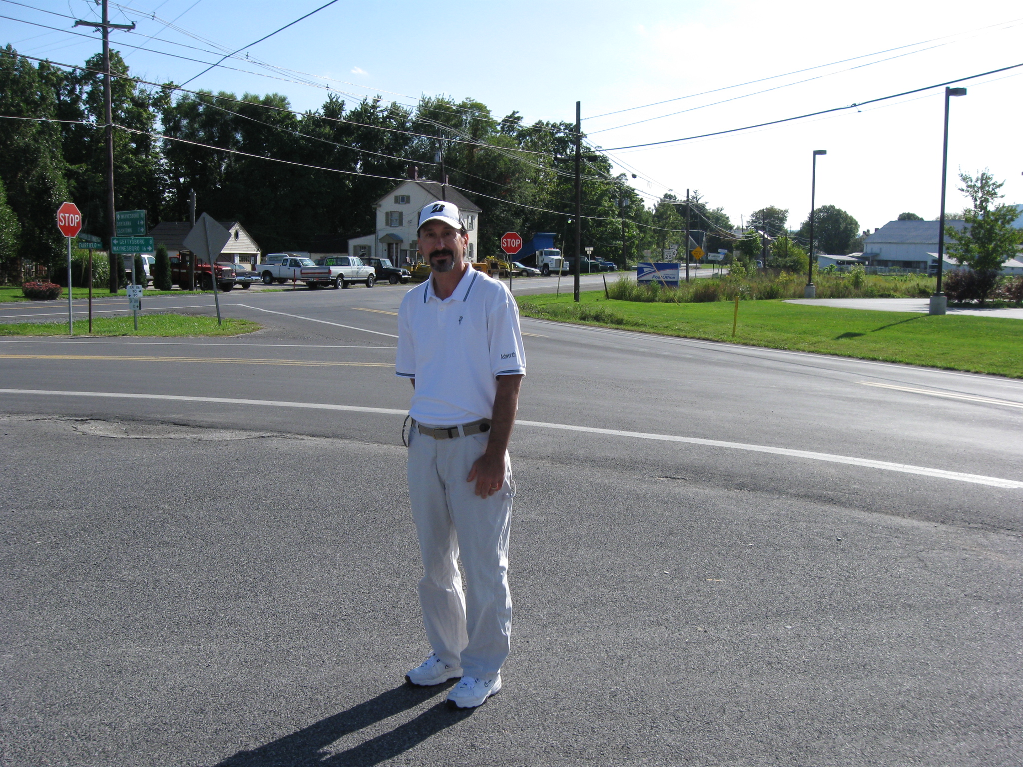
Author J.D. Petruzzi is standing near the intersection of the Gettysburg-Fairfield Road (PA Route 116 in the background on the other side of the stop signs) and Carroll’s Tract Road (directly behind J.D.). This view was taken facing southwest at approximately 4:00 PM on Sunday, September 20, 2009.
In Video #1 Civil War author J.D. Petruzzi describes how Union cavalry approaches Fairfield. This view was taken facing southwest to northwest at approximately 4:00 PM on Sunday, September 20, 2009.
Civil War authors J.D. Petruzzi and Steve Stanley are standing along Carroll’s Tract Road. Union cavalry charged up the road, away from the camera, towards Confederate wagons. This view was taken facing northwest at approximately 4:00 PM on Sunday, September 20, 2009.
In Video #2 Civil War author J.D. Petruzzi is still standing near the intersection of the Fairfield-Gettysburg Road and the Carroll’s Tract Road. He shows how Union cavalry will move north on Carroll’s Tract Road. This view was taken facing northwest at approximately 4:00 PM on Sunday, September 20, 2009.

This map of the opening phase of the Battle of Fairfield was created by cartographer Steve Stanley.
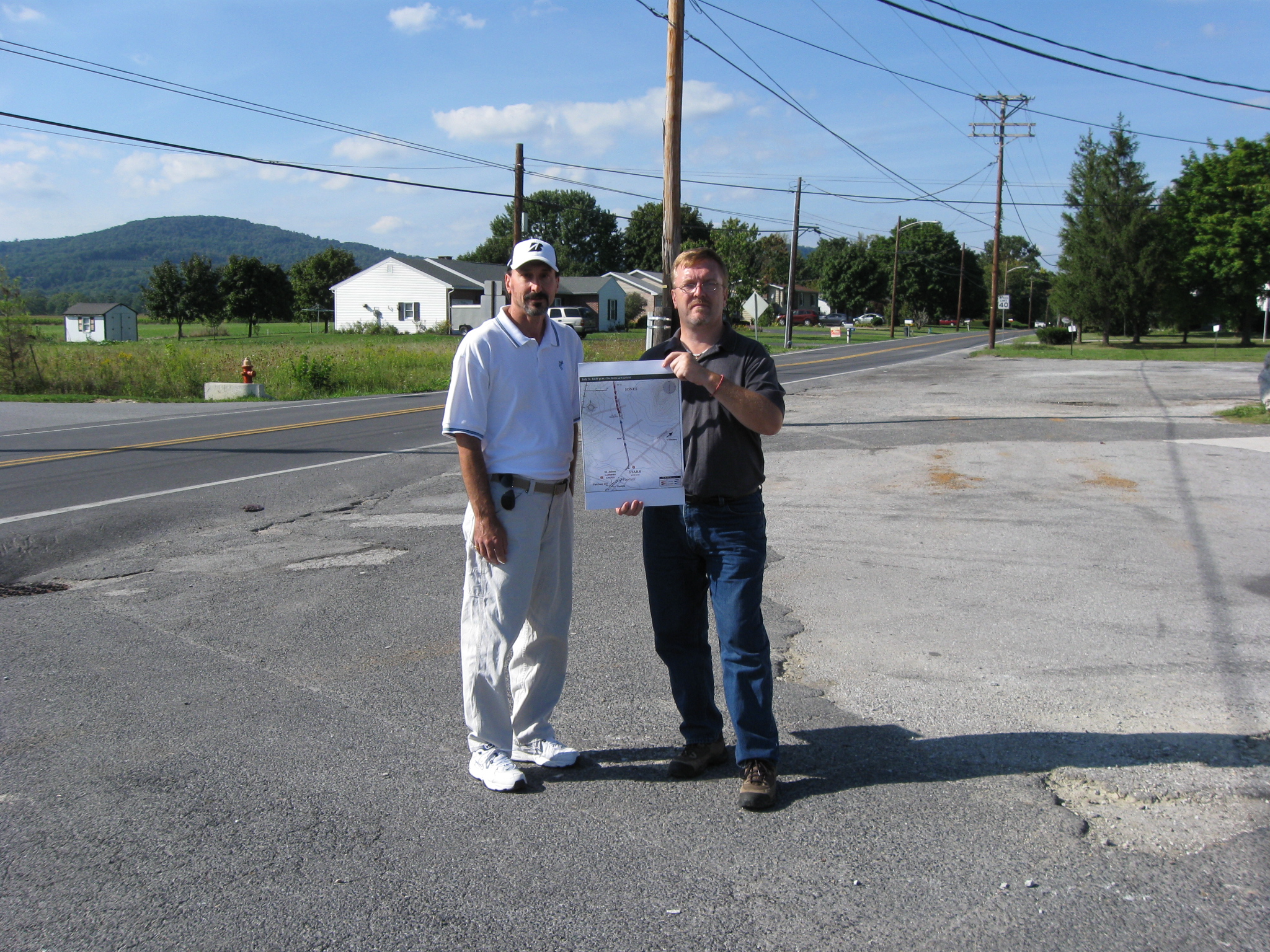
In Video #3 Civil War authors J.D. Petruzzi and Steven Stanley are standing near Carroll’s Tract Road and its intersection with the Gettysburg Fairfield Road. They show us on a map how Union forces met the Confederates around 12:30 PM on July 3, 1863. This view was taken facing northwest at approximately 4:00 PM on Sunday, September 20, 2009.