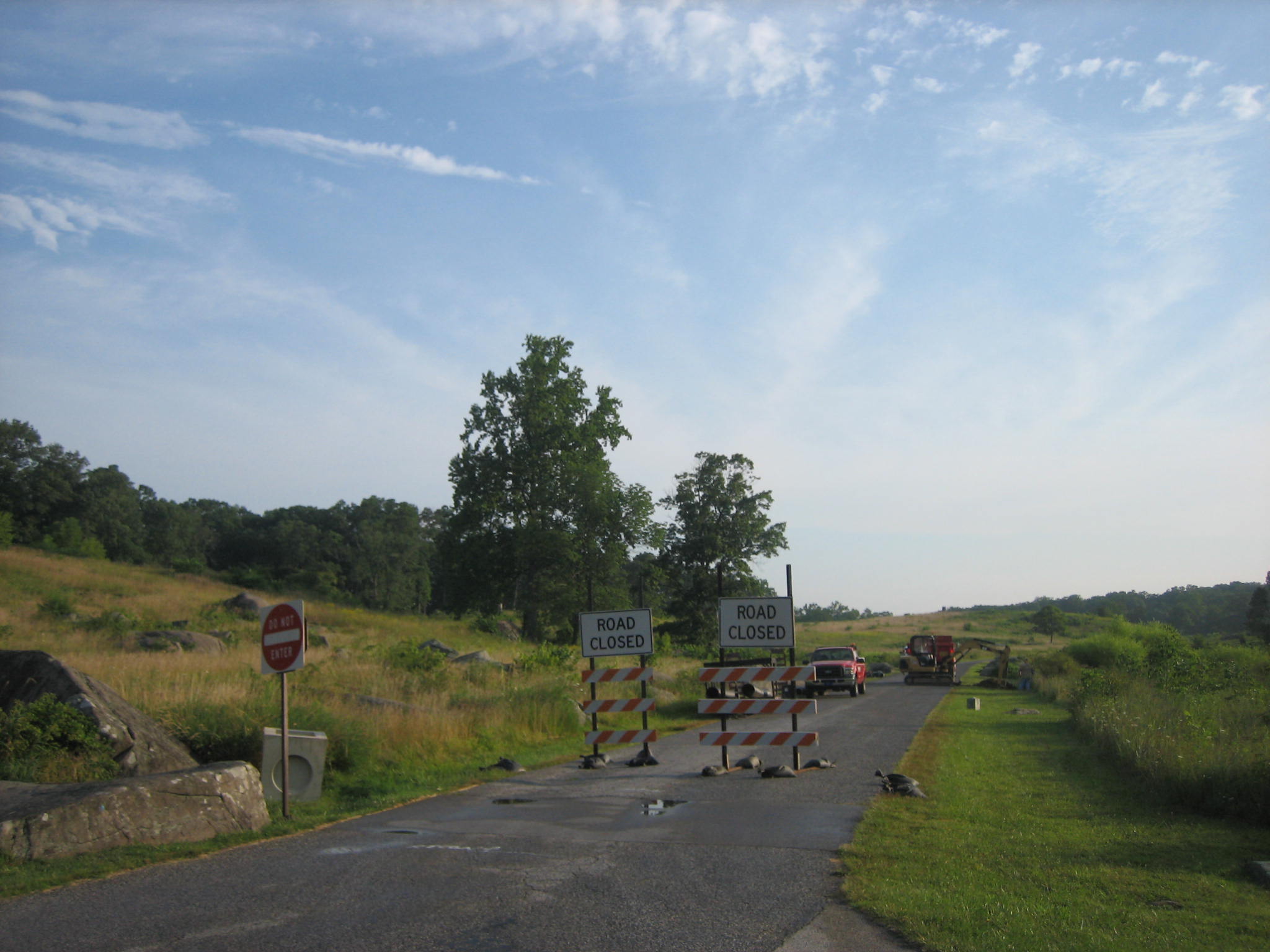
Crawford Avenue in Gettysburg National Military Park is closed this week as culverts are being replaced in at least three locations. It is hoped that the road will be open again by this weekend. Little Round Top is in the left background, and Big Round Top is in the center background. This picture is at the intersection of the Wheatfield Road (foreground) and Crawford Avenue. This view was taken from the northwest facing southeast at approximately 7:45 AM on Wednesday, August 6, 2008.
Crawford Avenue, in Gettysburg National Military Park’s Plum Run Valley, or “Valley of Death” is closed this week for culvert installation. The National Park Service will have over a month of road closures in this area as Ayres Avenue will be closed next, followed by Sickles Avenue. Those roads usually take visitors through important areas such as Devil’s Den, the Wheatfield, and the Stony Hill. This is not good timing, as August is a busy month, especially with many individuals vacationing the first week of August. Of course they come to their National Parks during this time. Not only are the road closures an inconvenience, the detour route is poorly marked, dangerous, and inaccessible to some vehicles. Please see our other posts on Crawford Avenue closures on August 8, 2008 and August 18, 2008.
Here is the first culvert that has been replaced near the north end of Crawford Avenue. The old terra cotta pipe is laying on the roadway. This view was taken from the east facing west at approximately 7:45 AM on Wednesday, August 6, 2008.
Another view of the terra cotta pipe and the area where it was replaced. This work has been planned for years, and was supposed to start in the spring. This view was taken from the southeast facing northwest at approximately 7:45 AM on Wednesday, August 6, 2008.
Another spot halfway down Crawford Avenue that will be dug up. The new piping is laying on the right side of the road. The reason this project was not started in the spring was because of the sudden rise in oil prices which doubled the price of asphalt. This view was taken from the northwest facing southeast at approximately 7:45 AM on Wednesday, August 6, 2008.
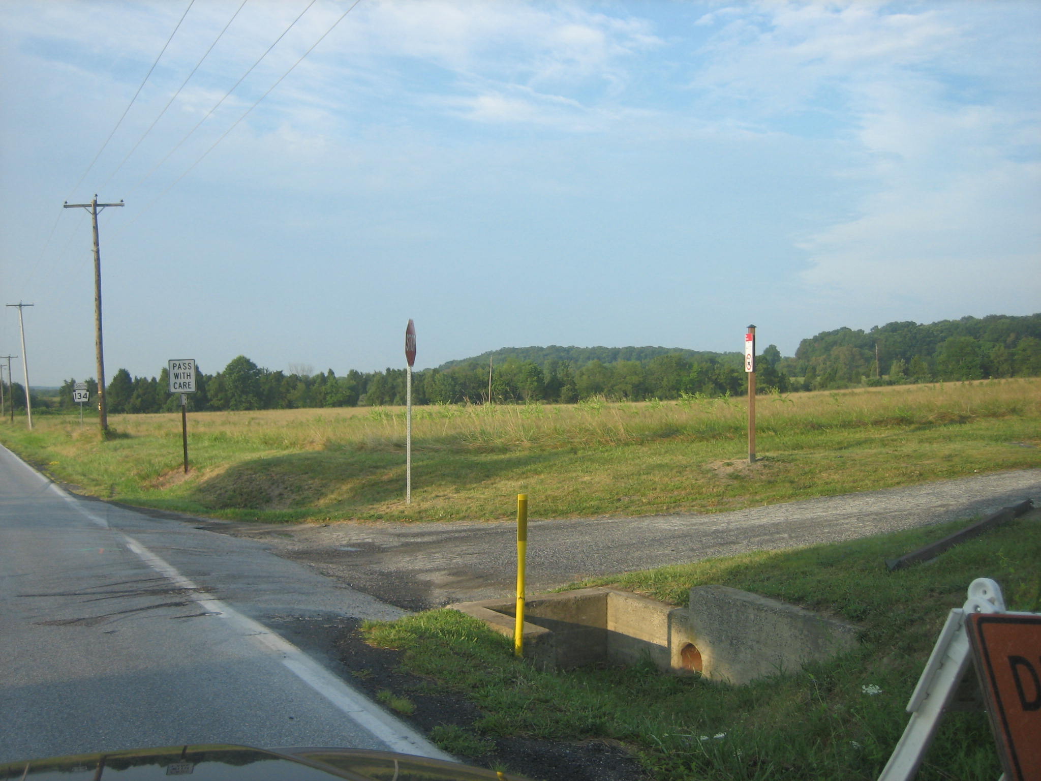
The intersection of Warren Avenue and Crawford Avenue. This view was taken from the southeast facing northwest at approximately 7:45 AM on Wednesday, August 6, 2008.
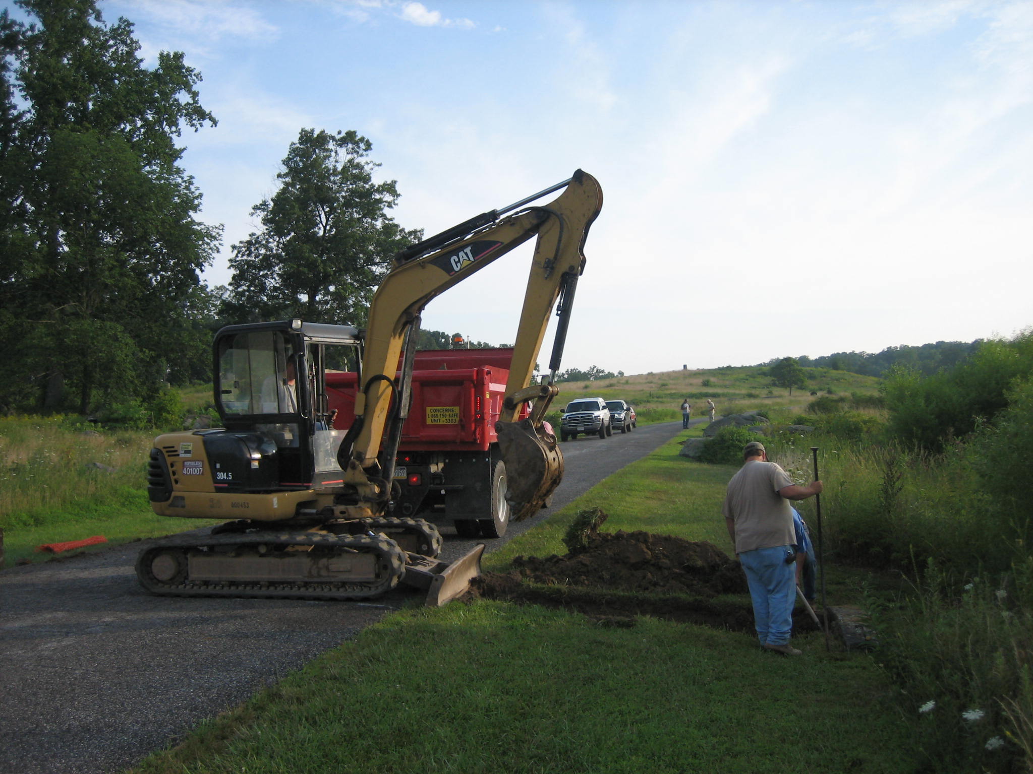
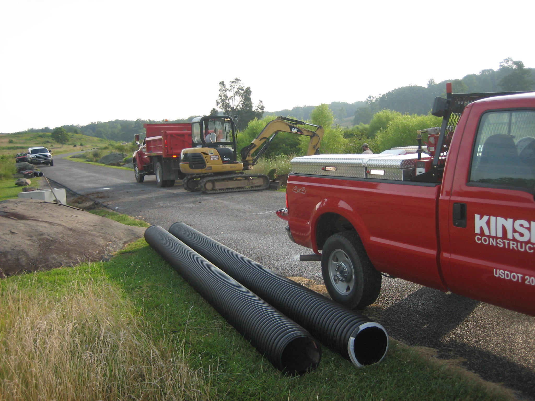
Kinsley Construction is the contractor on this project. Here they are replacing a culvert near the south end of Crawford Avenue. This view was taken from the southeast facing northwest at approximately 7:45 AM on Wednesday, August 6, 2008.
The new pipe near the south end of Crawford Avenue is in the foreground. The National Park Service decided to go with this project now because they received a set price on asphalt for this period of time. They finally decided to work on the project before the price went even higher. This view was taken from the southwest facing northeast at approximately 7:45 AM on Wednesday, August 6, 2008.
A view of the now closed Crawford Avenue from Little Round Top. Crawford Avenue runs generally from right to left or north to south through Plum Run Valley. This view was taken from the southeast facing northwest at approximately 7:45 AM on Wednesday, August 6, 2008.
Another view of the now closed Crawford Avenue from Little Round Top. Devil’s Den is the pile of rocks on the left. Crawford Avenue is the road running from right to left, or north to south. The Kinsley Construction vehicles are the red and white vehicles on Crawford Avenue. This view was taken from the east facing west at approximately 7:45 AM on Wednesday, August 6, 2008.
The detour from the Wheatfield Road to Little Round Top is not well marked and dangerous in some locations. Here the vehicle is arriving at the intersection of the Wheatfield Road and the Taneytown Road (from left to right). Yes there is a small detour sign on the right. This view was taken from the west facing east at approximately 7:45 AM on Wednesday, August 6, 2008.
One needs to take a right on the Taneytown Road here, going south, but the foliage blocks the view of incoming traffic from the left. One has to pull into the Taneytown Road to see if traffic is coming. This view was taken from the southwest facing northeast at approximately 7:45 AM on Wednesday, August 6, 2008.
Heading south on the Taneytown Road wondering where the detour is taking us. This view was taken from the northeast facing southwest at approximately 7:45 AM on Wednesday, August 6, 2008.
Then you’re right up on it if you see this small detour sign. One needs to take a right on Wright Avenue here. This view was taken from the north facing south at approximately 7:45 AM on Wednesday, August 6, 2008.
The problem here is that large vehicles, such as busses or RVs, cannot make this turn onto Wright Avenue, but there is not any signage saying this turn cannot be negotiated by those large vehicles. A Gettysburg Tour Bus was stuck here Monday afternoon. This view was taken from the northeast facing southwest at approximately 7:45 AM on Wednesday, August 6, 2008.
The scrape marks on the Taneytown road are from those large vehicles getting stuck here and making the gashes into the pavenment. When vehicles get stuck here, nobody can use the detour, and then where does one go? This view was taken from the southwest facing northeast at approximately 7:45 AM on Wednesday, August 6, 2008.
Here is a sign that the Gettysburg Tour Bus knocked over Monday. Hope it didn’t have any important information. This view was taken from the east facing west at approximately 7:45 AM on Wednesday, August 6, 2008.
Ayres Avenue is slated to be closed next. This view is taken from the intersection of the Wheatfield Road (not seen) and Ayres Avenue. The Wheatfield is on the right. This view was taken from the north facing south at approximately 7:45 AM on Wednesday, August 6, 2008.
Sickles Avenue will then be closed, which of course includes the area of Devil’s Den… This view was taken from the northeast facing southwest at approximately 7:45 AM on Wednesday, August 6, 2008.
… and the Wheatfield. This view was taken from the east facing west at approximately 7:45 AM on Wednesday, August 6, 2008.