Licensed Battlefield Guide Dave Hamacher: Texas Brigade Part 3
April 9, 2012
Gettysburg Licensed Battlefield Guide Dave Hamacher is the host for our series on the Texas Brigade. He is standing near the junction of Willoughby Run Road and Black Horse Tavern Road, and he is pointing to the area of the Longstreet Tower on Warfield Ridge/Seminary Ridge. This view was taken facing southeast at approximately 5:15 PM on Friday, March 9, 2012.
Gettysburg Licensed Battlefield Guide Dave Hamacher a native Pennsylvanian and a lifelong student of history. He is in his twelfth year as a Licensed Battlefield Guide. This is his fourteenth year teaching history at Harrisburg Area Community College in Harrisburg, Pennsylvania. Dave has also been a Licensed Town Guide in Gettysburg for the last seven years. Dave attended Penn State and Indiana University of Pennsylvania and has earned two degrees (B.A. and M.A.) in history. Dave states, “I have always considered it a privilege to guide on this historic battlefield. I have a lot of fun doing it.” Dave is married to Gettysburg Licensed Battlefield Guide Kim Hamacher. They live in Red Lion, Pennsylvania.
In the first post, Gettysburg Licensed Battlefield Guide Dave Hamacher introduced us to the Texas Brigade and provided background on their actions before the Battle of Gettysburg.
In the second post, Gettysburg Licensed Battlefield Guide Dave Hamacher brings the Texas Brigade to Gettysburg, explains the movement of the First Corps along Herr’s Ridge, and the beginning of the countermarch.
In today’s post, Gettysburg Licensed Battlefield Guide Dave Hamacher shows how Longstreet’s Corps marched near Willoughby Run during the countermarch, and brings the Texas Brigade to Seminary Ridge/Warfield Ridge.
This map shows the location of where our the Texas Brigade videos were produced. Videos #1-8 were shown in our previous Texas Brigade posts. Video #9 was taken near the junction of Willoughby Run Road and Black Horse Tavern Road. Video #10 was taken on Warfield Ridge/Seminary Ridge, east of the Longstreet Observation Tower. This map was created facing north at approximately 5:45 AM on Friday, April 6, 2012.
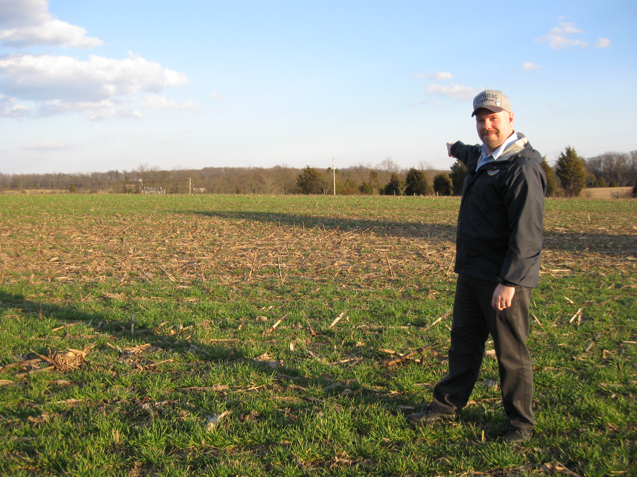
Gettysburg Licensed Battlefield Guide Dave Hamacher is standing south of Willoughby Run Road near its junction with Black Horse Tavern Road (out of sight on the left). He is pointing to Bream’s Hill, which is the bare hill above the tree line. This view was taken facing facing northwest at approximately 5:15 PM on Friday, March 9, 2012.
In Video #9 (Videos #1-#8 were shown in our previous posts) Gettysburg Licensed Battlefield Guide Dave Hamacher is standing along Willoughby Run Road near its junction with Black Horse Tavern Road. He explains how the Texas Brigade and Longstreet’s First Corps marched along Willoughby Run to Black Horse Tavern Road.This view was taken facing northwest to southeast at approximately 5:15 PM on Friday, March 9, 2012.
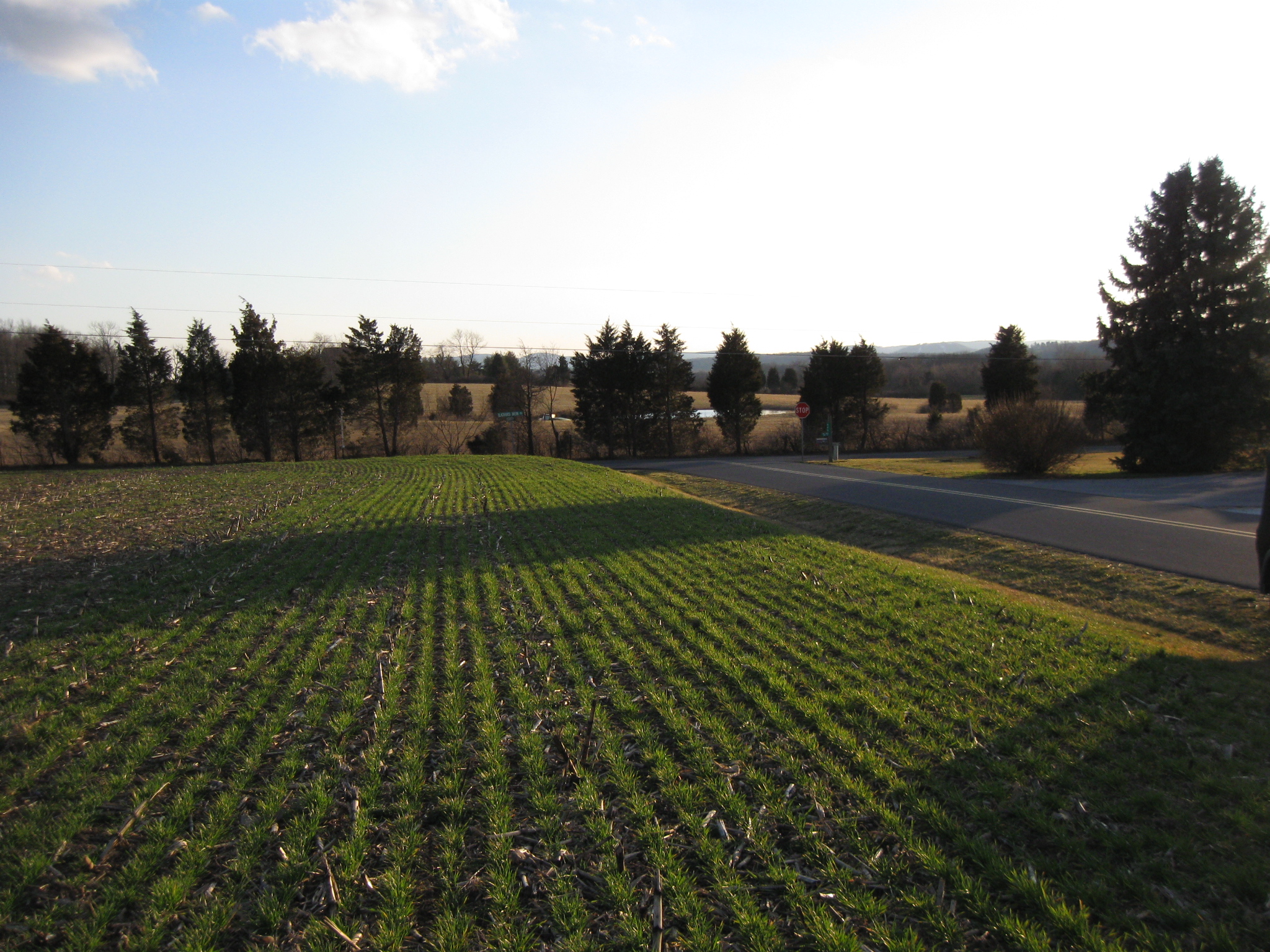
Modern Willoughby Run Road, on the right, did not exist at the time of the battle. This view shows its juction with Black Horse Tavern Road at the stop sign. This view was taken facing southwest at approximately 5:15 PM on Friday, March 9, 2012.
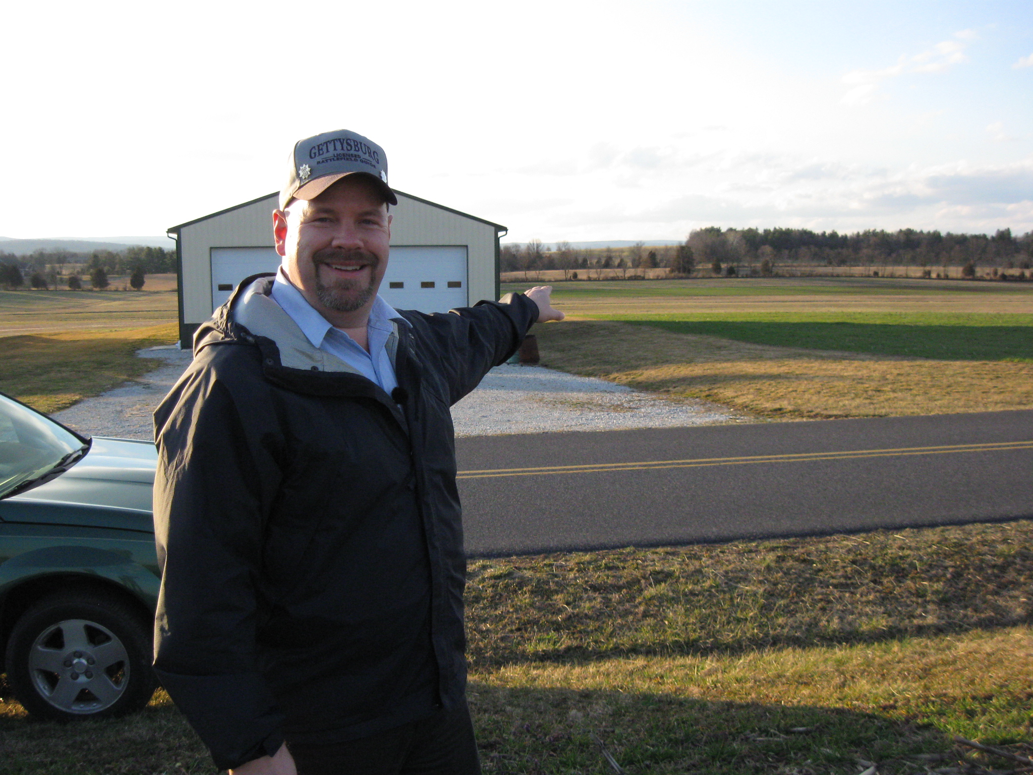
Licensed Battlefield Guide Dave Hamacher is standing on Warfield Ridge/Seminary Ridge east of the Longstreet Observation Tower (behind the camera). He is pointing to Sherfy’s Peach Orchard (the Peach Orchard). The Joseph Sherfy Farm is in the left background. This view was taken facing east (and a little northeast) at approximately 5:15 PM on Friday, March 9, 2012.
In Video #10 Licensed Battlefield Guide Dave Hamacher is standing on Warfield Ridge/Seminary Ridge east of the Longstreet Observation Tower (behind the camera). He explains how McLaws’ Division encountered elements of Sickles Third Corps at the Peach Orchard. Hood’s Division and the Texas Brigade move move farther to the south in an attempt to outflank Sickles battle line.This view was taken facing north to northeast to southeast to northeast to east to northeast to southeast to northeast to southeast to northeast to southeast at approximately 5:15 PM on Friday, March 9, 2012.
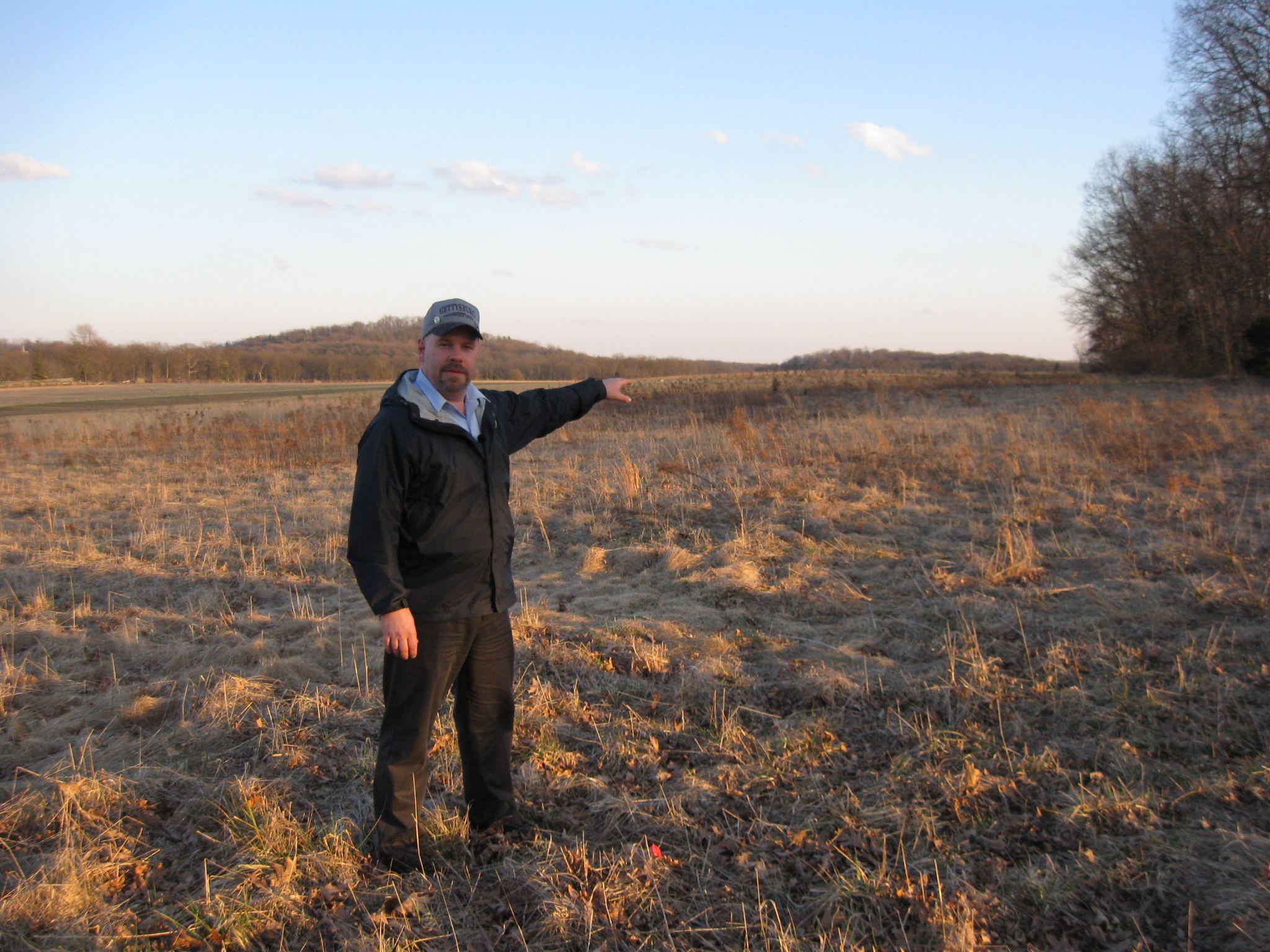
Licensed Battlefield Guide Dave Hamacher is standing on Warfield Ridge/Seminary Ridge east of the Longstreet Observation Tower (to the right of the camera). He is pointing to the area where the Texas Brigade and Hood’s Division deployed on the afternoon of July 2, 1863. Big Round Top is behind Dave’s head. Bushman Hill is in the right background. This view was taken facing southeast at approximately 5:15 PM on Friday, March 9, 2012.
To see other posts by Gettysburg Licensed Battlefield Guides,click here.