
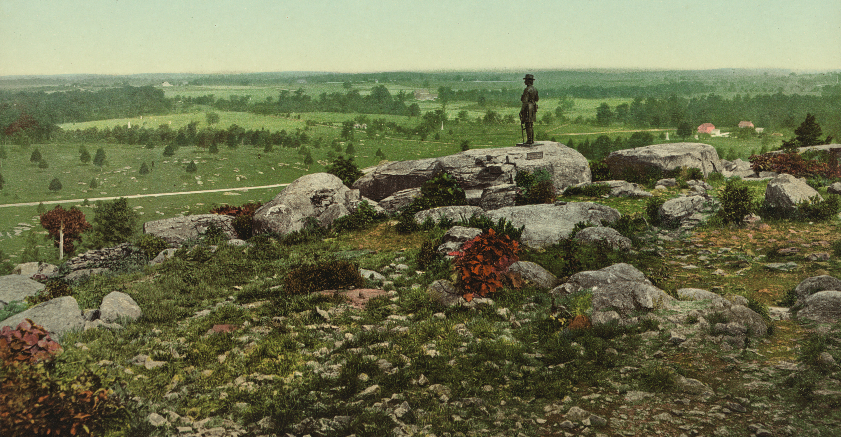
Little Round Top, with the Warren statue figured prominently in the right-center. This view was taken circa 1900 and is courtesy of the Library of Congress. It is a photo-mechanical colorized print of a black and white negative.
The 150th Anniversary of the Battle of Gettysburg is fast approaching. In preparation for the expected increase in visitors for the 150th, the National Park Service expressed to Licensed Battlefield Guides that they plan on rehabilitating and possibly rerouting a number of the paths/walkways on one of the most visited areas of the battlefield: Little Round Top. As for which particular paths will be rerouted/restored? We’re not sure at this point, but we will walk around the hill and show you how things look now in preparation for the changes.
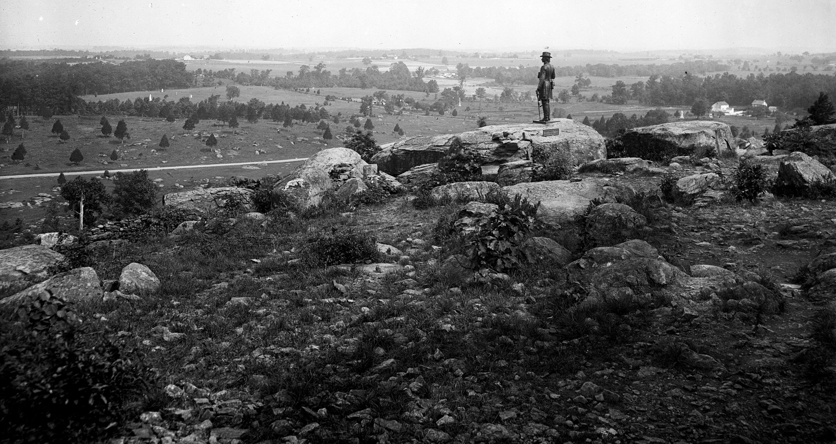
Here is the original black and white photograph, untampered with, from the first image. You will notice a distinct lack of paths. This view was taken circa 1900 and is courtesy of the Library of Congress.
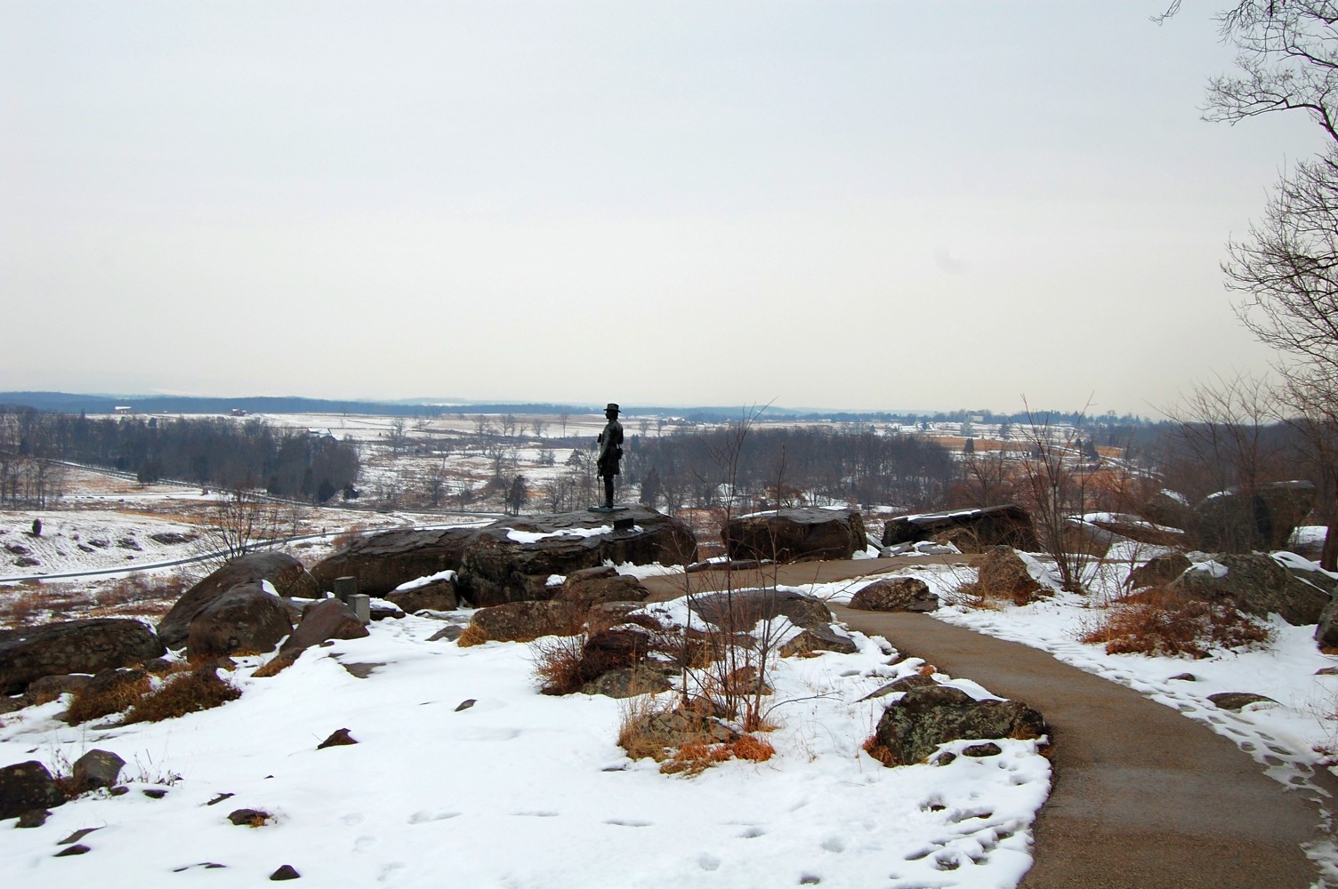
Here is our attempt at a more modern view that includes the pathways. This view was taken facing north at approximately 6:00 PM on Thursday, February 24, 2011.
Here we are without the snow. We’ll walk down towards the Warren statue. This view was taken facing north at approximately 4:30 PM on Monday, February 28, 2011.
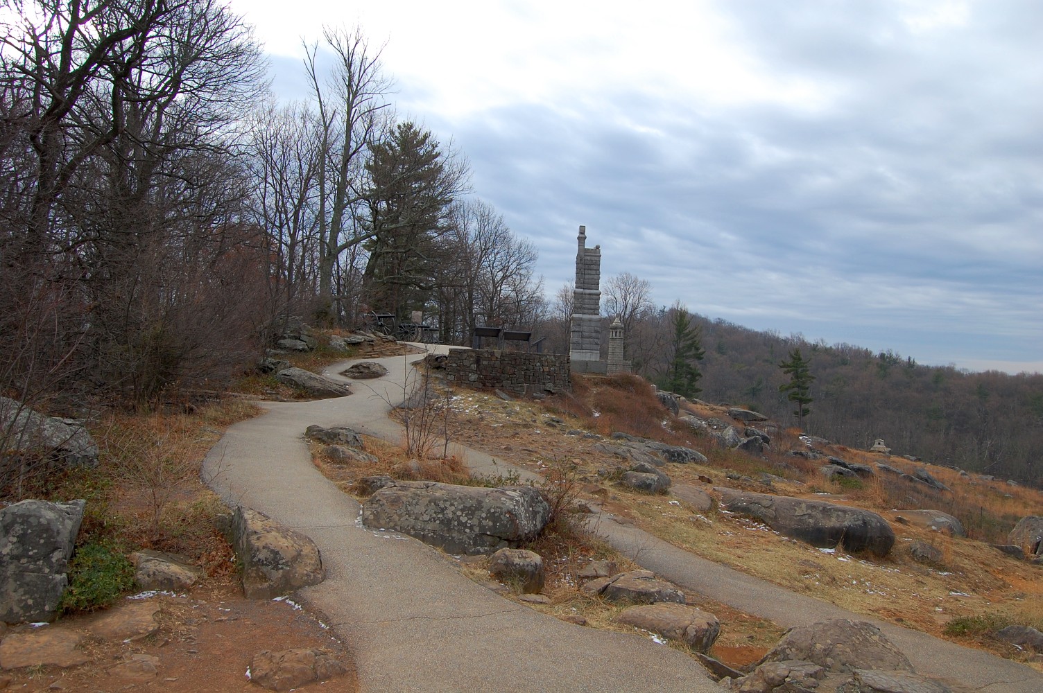
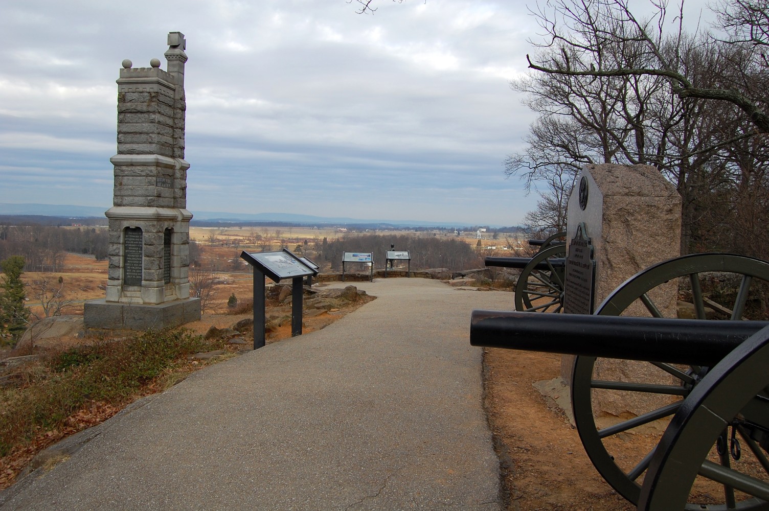
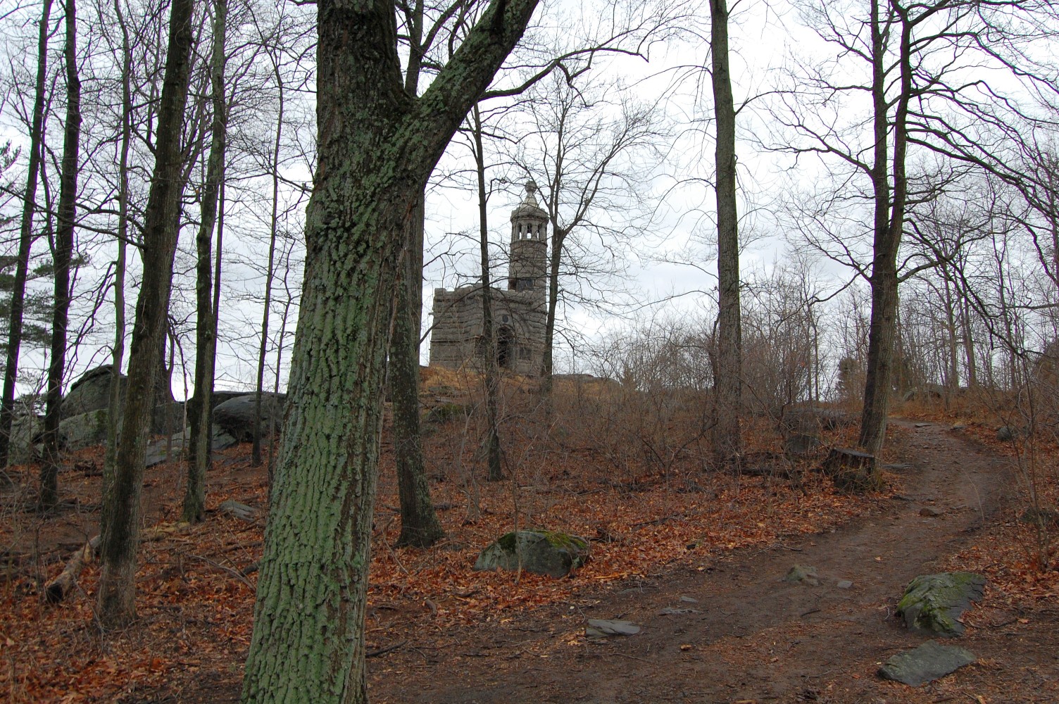
Looking back towards the 91st Pennsylvania Monument. Most of the pathways on the summit of the hill are acceptable condition and in most places only show minor signs of wear and cracking. This view was taken facing south at approximately 4:30 PM on Monday, February 28, 2011.

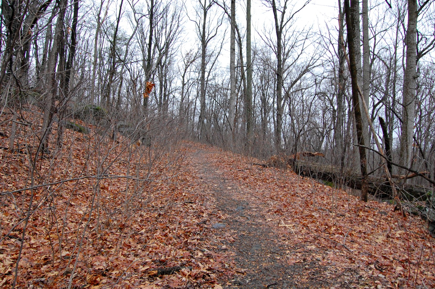
But let’s head towards an area that we know needs some changes. We are now heading off the summit and south towards Big Round Top. We will head towards the walkway to the 20th Maine Monument on the left. This view was taken facing south at approximately 4:30 PM on Monday, February 28, 2011.
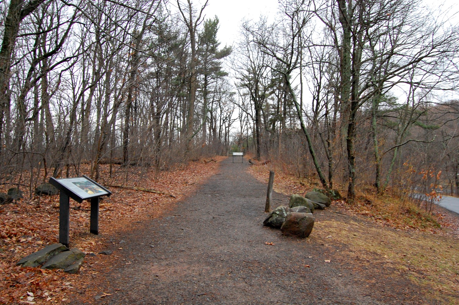
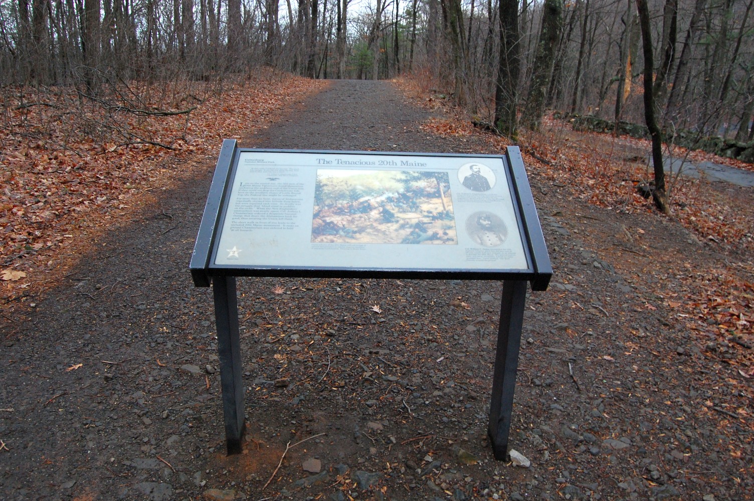
The first thing about this path that you’ll notice is that any paving that once was is no more. Most of this path is exposed rock/stones. Let’s take a look at the two waysides in this region. This view was taken facing southeast at approximately 4:30 PM on Monday, February 28, 2011.
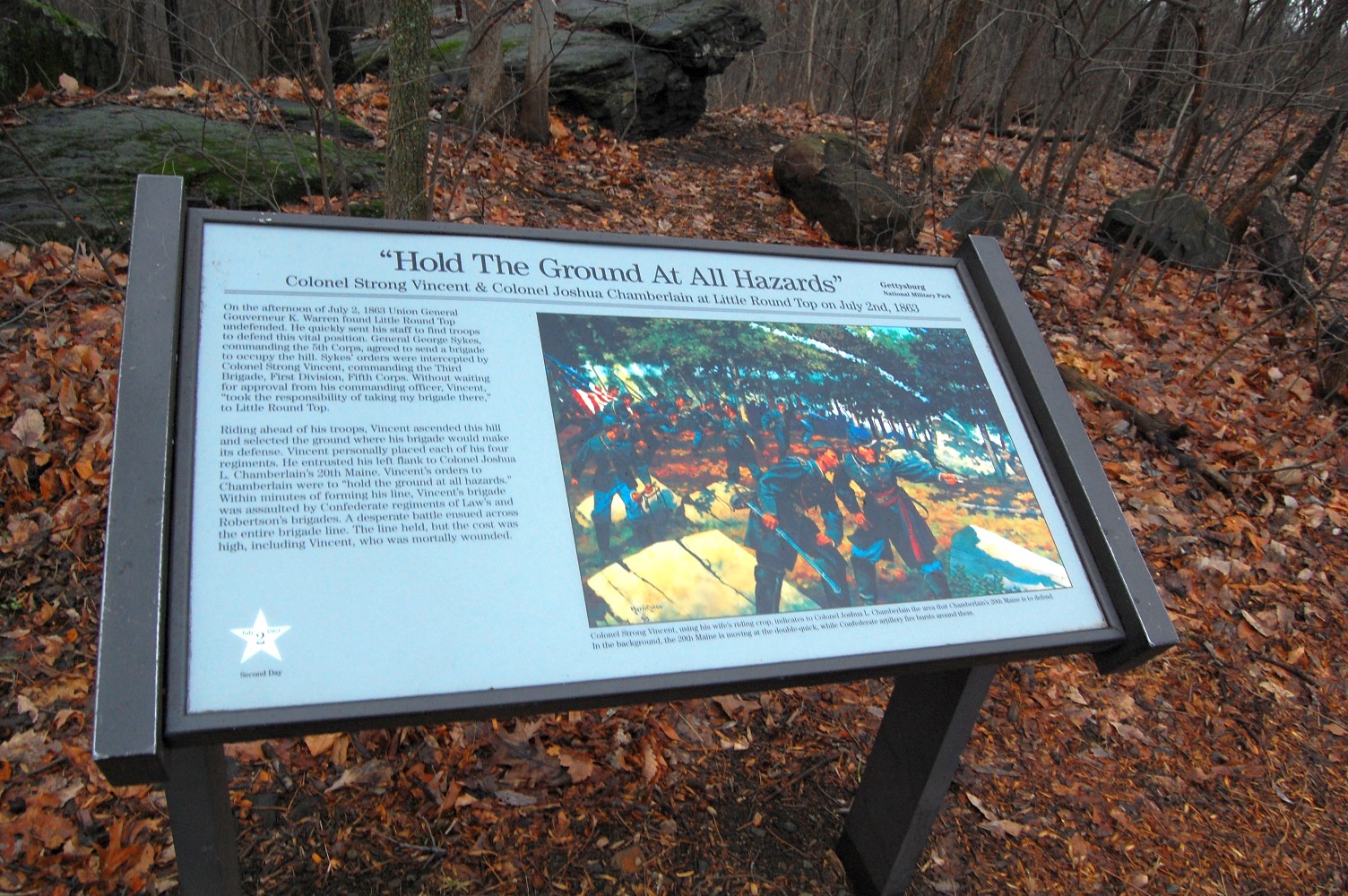
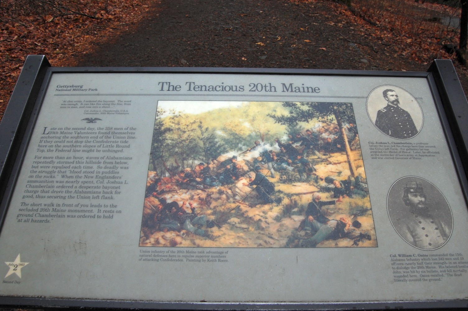
The first one on the left is the most modern one. A closer look, perhaps? This view was taken facing southeast at approximately 4:30 PM on Monday, February 28, 2011.
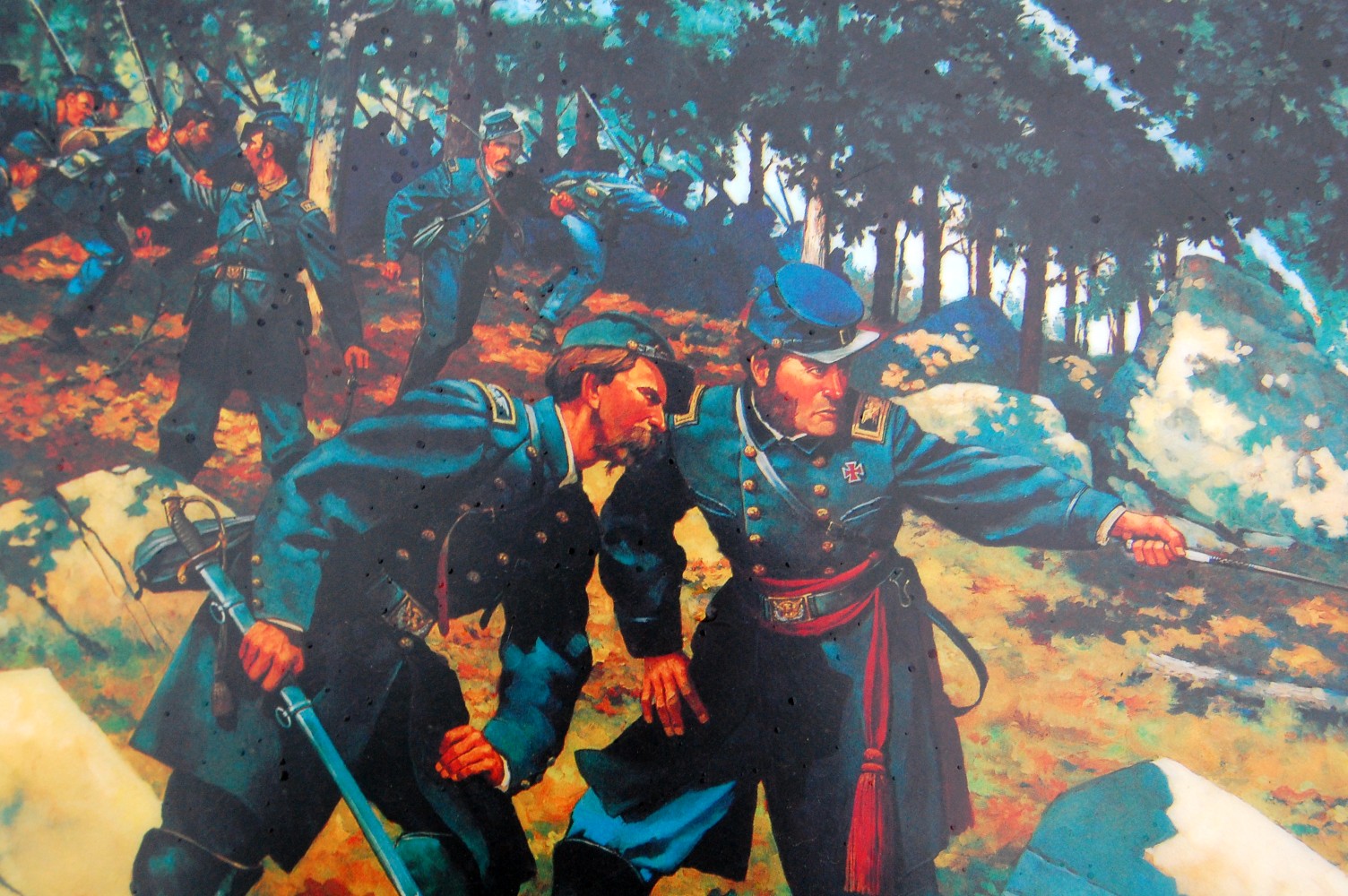
Notice the not-so-conspicuous “Jeff Daniels” Col. Joshua Chamberlain in the foreground of this painting. This view was taken facing east at approximately 4:30 PM on Monday, February 28, 2011.

The painting of Vincent and Chamberlain for this wayside was made by the artist, Keith Rocco, in 1995 (just two years after a certain movie was released). This view was taken facing east at approximately 4:30 PM on Monday, February 28, 2011.

This view was taken facing east at approximately 4:30 PM on Monday, February 28, 2011.

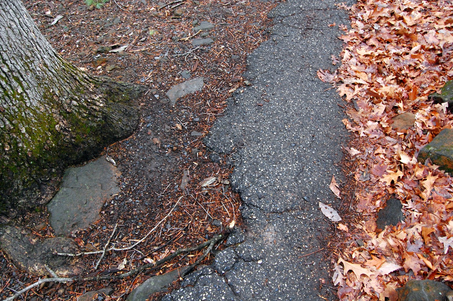
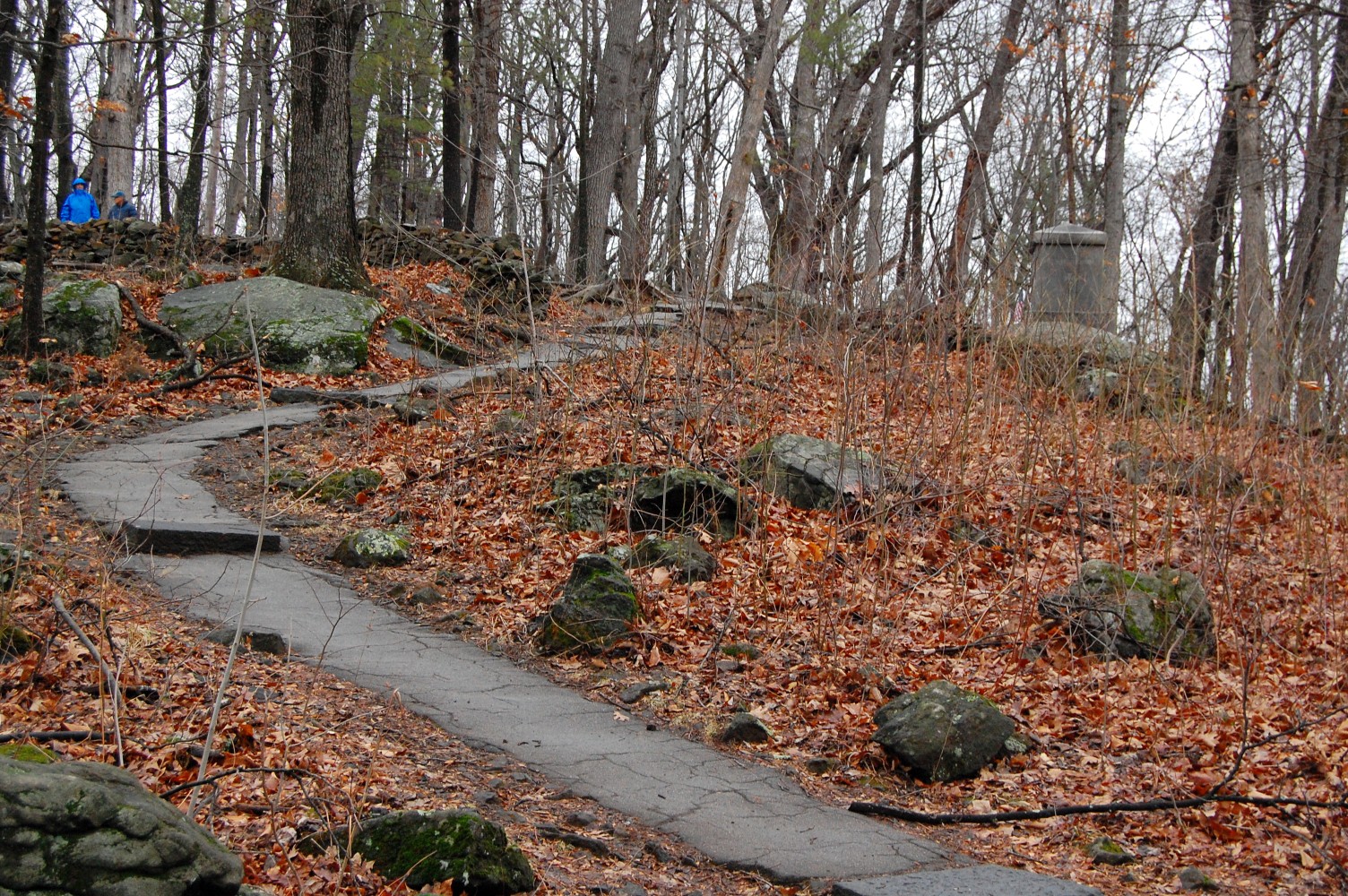
Here is a closer detail of just how run down the pathway towards the 20th Maine Monument is along this walkway. This view was taken facing southeast at approximately 4:30 PM on Monday, February 28, 2011.
The next wayside in the path is a few years older. This view was taken facing southeast at approximately 4:30 PM on Monday, February 28, 2011.
Of course, Joshua Chamberlain is no where to be found in the painting on this wayside … This view was taken facing southeast at approximately 4:30 PM on Monday, February 28, 2011.

… but his photograph and brief biography are. This view was taken facing southeast at approximately 4:30 PM on Monday, February 28, 2011.

A closeup of the painting, once again done by artist … This view was taken facing southeast at approximately 4:30 PM on Monday, February 28, 2011.

… Keith Rocco. Notice this one was painted in 1987. This view was taken facing southeast at approximately 4:30 PM on Monday, February 28, 2011.

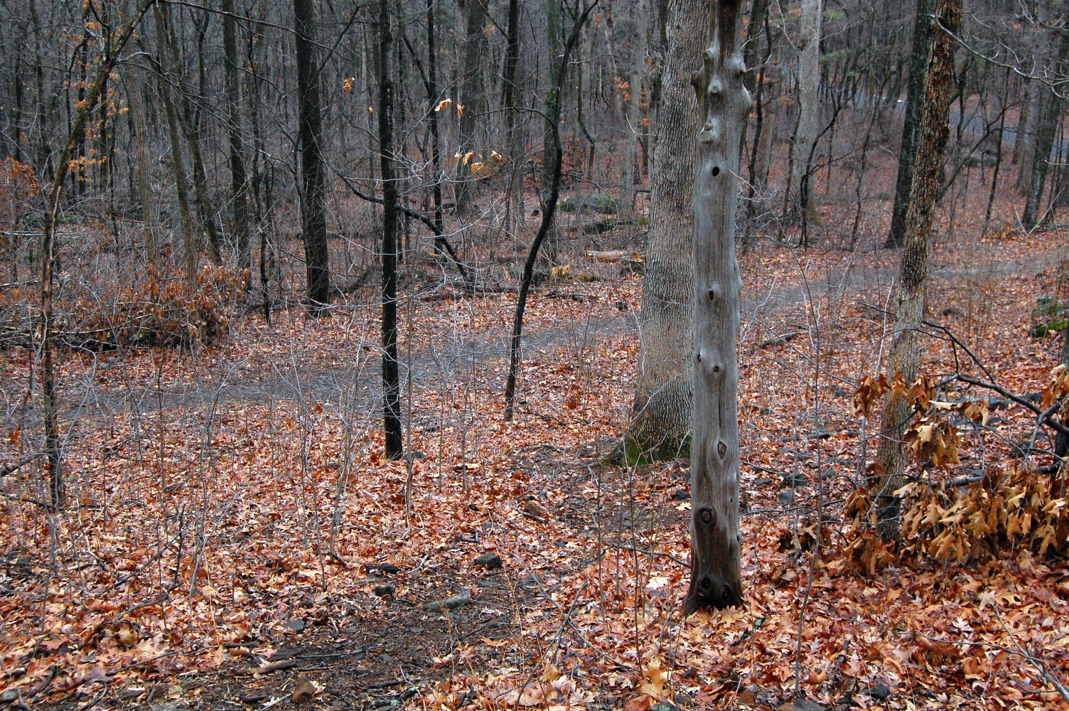
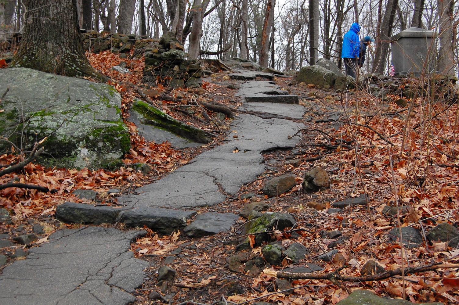
Farther down the path, the condition is not much better. It had rained recently and though it’s not visible in this photo, muddy patches plague the pathway. This view was taken facing southeast at approximately 4:30 PM on Monday, February 28, 2011.

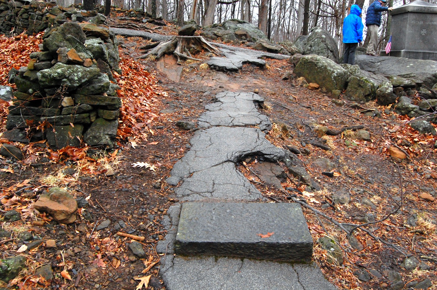
Here’s a few obstacles on the way to the darker path in the background, which should lead visitors to the 20th Maine Monument. This view was taken facing southeast at approximately 4:30 PM on Monday, February 28, 2011.
… It’s not doing so well either. It’s our guess that this pathway is slated for removal/restoration. This view was taken facing southeast at approximately 4:30 PM on Monday, February 28, 2011.

But let’s not go directly to the 20th Maine Monument. Diverging from the path allows us to go around to its east … This view was taken facing south at approximately 4:30 PM on Monday, February 28, 2011.
… where we come upon old Chamberlain Avenue. The avenue would have been the lighter gray gravel pathway running left to right in the background. This view was taken facing south at approximately 4:30 PM on Monday, February 28, 2011.
Chamberlain Avenue came off the summit of the hill from the north and descended around the eastern slope of Little Round Top … This view was taken facing northeast at approximately 4:30 PM on Monday, February 28, 2011.

… Giving this view of the 20th Maine Monument to visitors in their cars. Chamberlain Avenue can be seen in this post. This view was taken facing north at approximately 4:30 PM on Monday, February 28, 2011.
We are now standing in the parking lot just below the 20th Maine Monument on Wright Avenue. This view was taken facing northeast at approximately 4:30 PM on Monday, February 28, 2011.
This pathway isn’t doing too well either, and is likely in need of some restoration or rethinking. What is the most ideal way for visitors to get to this popular monument? And what sort of pathways are best so that we can avoid … This view was taken facing northeast at approximately 4:30 PM on Monday, February 28, 2011.
This … This view was taken facing northeast at approximately 4:30 PM on Monday, February 28, 2011.

… and this. Not all visitors to the battlefield are able-bodied, and ascending this sort of pathway would be difficult for many visitors, especially with the high visitation numbers that the National Park Service expects for the 150th. This view was taken facing northeast at approximately 4:30 PM on Monday, February 28, 2011.

This view was taken facing southeast at approximately 4:30 PM on Monday, February 28, 2011.

We are obviously speculating, but it seems that there are definite areas which will be getting attention as part of this restoration/rehabilitation project. This view was taken facing north at approximately 4:30 PM on Monday, February 28, 2011.

And of course, we haven’t even showed you the numerous dirty pathways … This view was taken facing northwest at approximately 4:30 PM on Monday, February 28, 2011.

… That criss-cross many … This view was taken facing west at approximately 4:30 PM on Monday, February 28, 2011.
… Many different parts of the hill. This view was facing northwest at approximately 4:30 PM on Monday, February 28, 2011.

… Or the sidewalks/pathways in the parking areas. As always, we will be sure to update you as this project develops. This view was facing northeast at approximately 6:00 PM on Thursday, February 24, 2011.