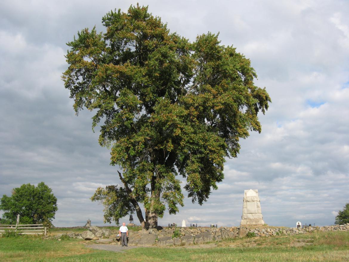
Gettysburg Licensed Battlefield Guide Fred Hawthorne is the author for our 140 Places Every Guide Should Know series. He is on Cemetery Ridge outside the “inner angle” of the stone wall in the High Water Mark area. This view was taken facing east at approximately 5:15 PM on Friday, September 17, 2010.
In today’s 140 Places Every Guide Should Know post Gettysburg Licensed Battlefield Guide Fred Hawthorne shows us the marker for John Page Nicholson, Meade Avenue, and the Stockton Rock outside of the “inner angle” of the stone wall.
This map shows us the locations taken of the videos for the 140 Places Every Guide Should Know series. Videos #1 and #4 were taken at the John Page Nicholson marker. Video #2 was taken at the Gettysburg National Military Park Legislation Plaque/Marker. Video #3 was taken on the Abraham Bryan Farm. Video #5 was taken at the location of Meade Avenue. Video #6 was taken at the Stockton Rock. This map was created facing north at approximately 5:15 PM on Tuesday, October 5, 2010.
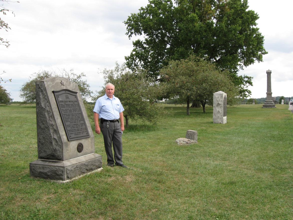
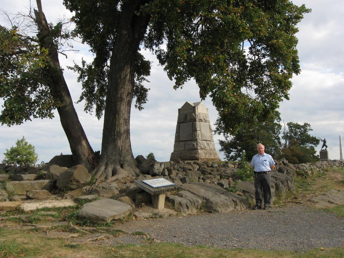
Gettysburg Licensed Battlefield Guide Fred Hawthorne is standing on Cemetery Ridge near the marker to John Page Nicholson. The tall monument in the right background is to the 39th New York Infantry Regiment, the Garibaldi Guards. This view was taken facing southeast at approximately 5:15 PM on Friday, September 17, 2010.
In Video #4 (Videos #1-#3 were shown in our previous 140 Places post) Gettysburg Licensed Battlefield Guide Fred Hawthorne is standing on Cemetery Ridge near the marker for John Page Nicholson. Fred explains why Nicholson was an important individual behind the early development of Gettysburg National Military Park. This view was taken facing northeast to east to northeast at approximately 5:15 PM on Friday, September 17, 2010.
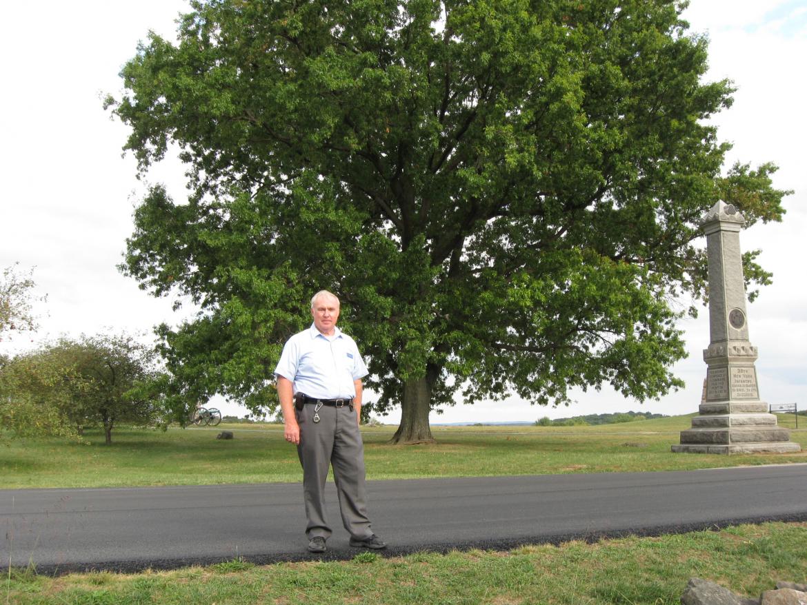
Licensed Battlefield Guide Fred Hawthorne is standing on Cemetery Ridge’s Hancock Avenue near the location of Meade Avenue, which used to make a junction with Hancock Avenue behind Fred. The monument on the right is to the 39th New York Infantry Regiment. Out of sight, behind the monument, is the equestrian statue to Major General George Gordon Meade. This view was taken facing southeast at approximately 5:15 PM on Friday, September 17, 2010.
In Video #5 Licensed Battlefield Guide Fred Hawthorne shows us the location of Meade Avenue. This view was taken facing southeast to northeast to east at approximately 5:15 PM on Friday, September 17, 2010.
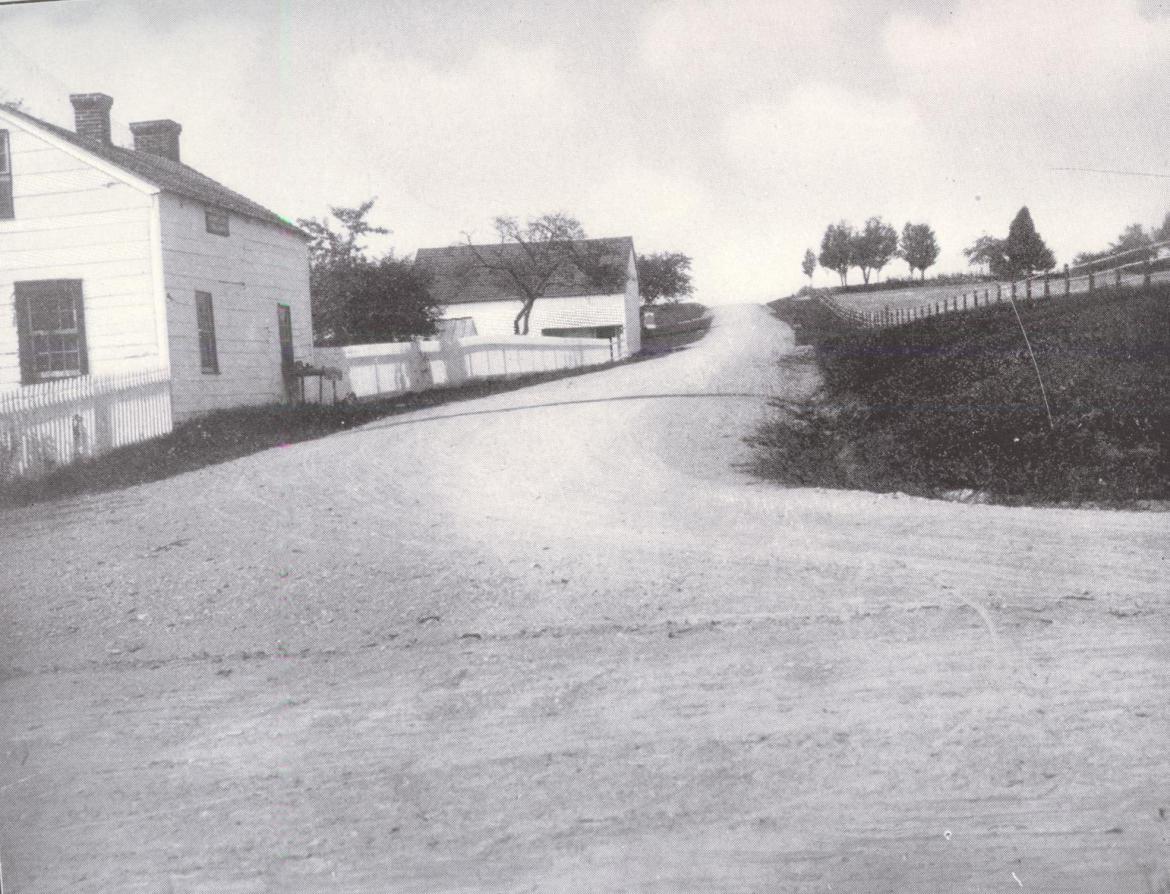
Meade Avenue connected the Taneytown Road (in the foreground from right to left) with Hancock Avenue on the top of Cemetery Ridge. The Lydia Leister House and Barn (Meade’s Headquarters) are on the left. This view, courtesy of Fred Hawthorne, was taken facing west.
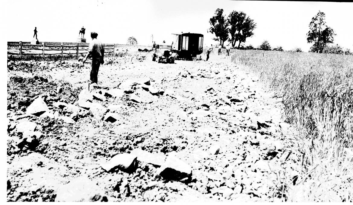
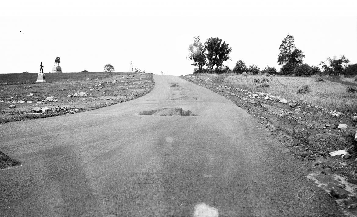
The next two photographs show the Civilian Conservation Corps relocating Meade Avenue. The monument to the 2nd Pennsylvania Cavalry Regiment, and the Meade equestrian statue are in the left background. Before… This view, credited to the National Park Service, was taken facing west circa 1937.
…and after. This view, credited to the National Park Service, was taken facing west circa 1937.
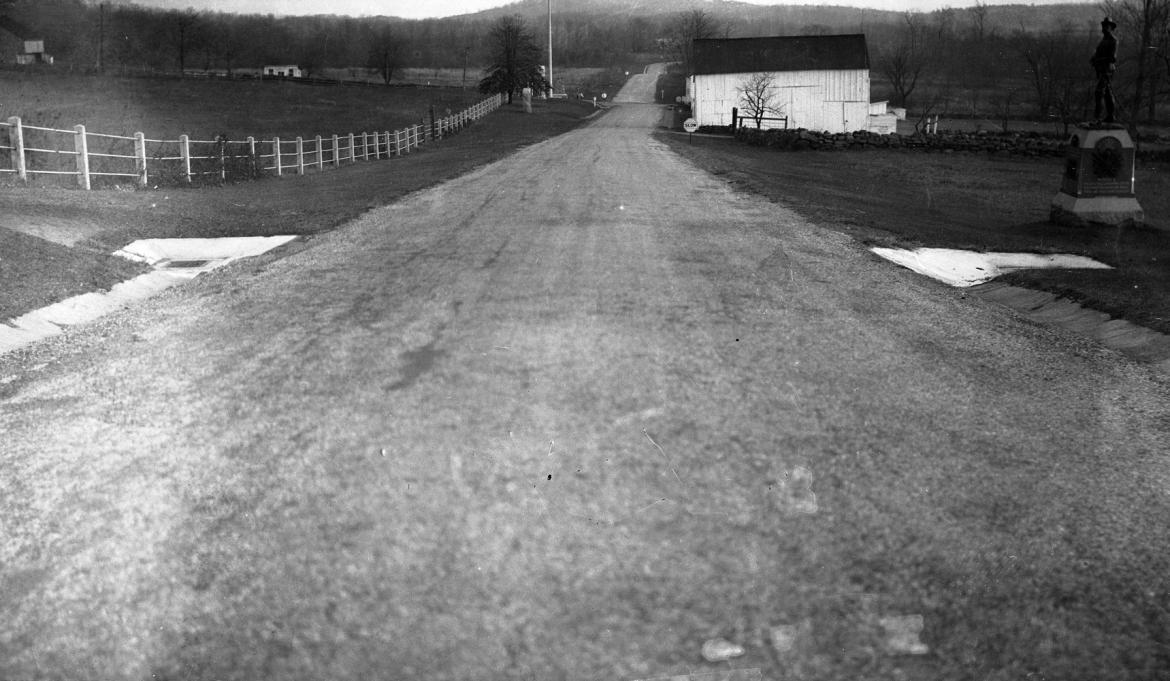
Meade Avenue, looking down the east slope of Cemetery Ridge. The monument to the 2nd Pennsylvania Cavalry Regiment is on the right, as is the Leister Barn. Notice the sign warning visitors to “Slow” before they not only get to the Leister House, but the Taneytown Road, where they would have to stop. The avenue continuing on the other “east” side of the Taneytown Road is Hunt Avenue. This view, credited to the National Park Service, was taken facing east at some unknown time.
Fred Hawthorne is standing on the west slope of Cemetery Ridge near the Stockton Rock. The Stockton Rock is the large rock directly below the monument to the 71st Pennsylvania Infantry Regiment. It is between Fred and the wayside describing the Angle. This view was taken facing southeast at approximately 5:15 PM on Friday, September 17, 2010.
In Video #6 Fred Hawthorne is standing outside the “inner angle” of the stone wall, near the Stockton Rock. He describes how Sergeant Major William Stockton and some other men from the 71st Pennsylvania Infantry Regiment, were held on the rocks in this area as prisoners during “Pickett’s Charge” on July 3, 1863. This view was taken facing east to southwest at approximately 5:15 PM on Friday, September 17, 2010.

