
This map shows the location of where our Eleventh Corps at Gettysburg videos were produced. Videos #1-#3 were near the site of the Moritz Tavern. Video #4 was taken approximately 400 yards north of the Moritz Tavern where a road connected the Emmitsburg Road to the Taneytown Road in 1863. This map was created facing north at approximately 4:00 PM on Tuesday, June 30, 2009.
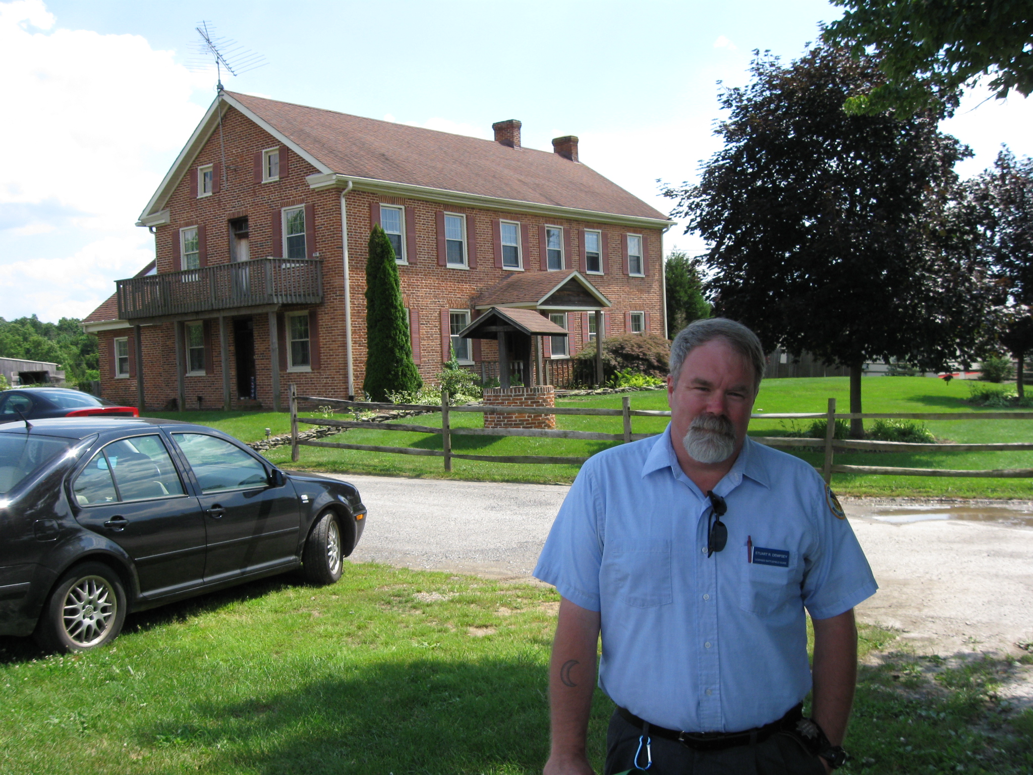
In Video #1 Gettysburg Licensed Battlefield Guide Stuart Dempsey introduces himself. This view was taken facing southeast at approximately 3:30 PM on Monday, June 29, 2009.

This map shows the location of where our Eleventh Corps at Gettysburg videos were produced. Videos #1-#3 were near the site of the Moritz Tavern. Video #4 was taken approximately 400 yards north of the Moritz Tavern where a road connected the Emmitsburg Road to the Taneytown Road in 1863. This map was created facing north at approximately 4:00 PM on Tuesday, June 30, 2009.
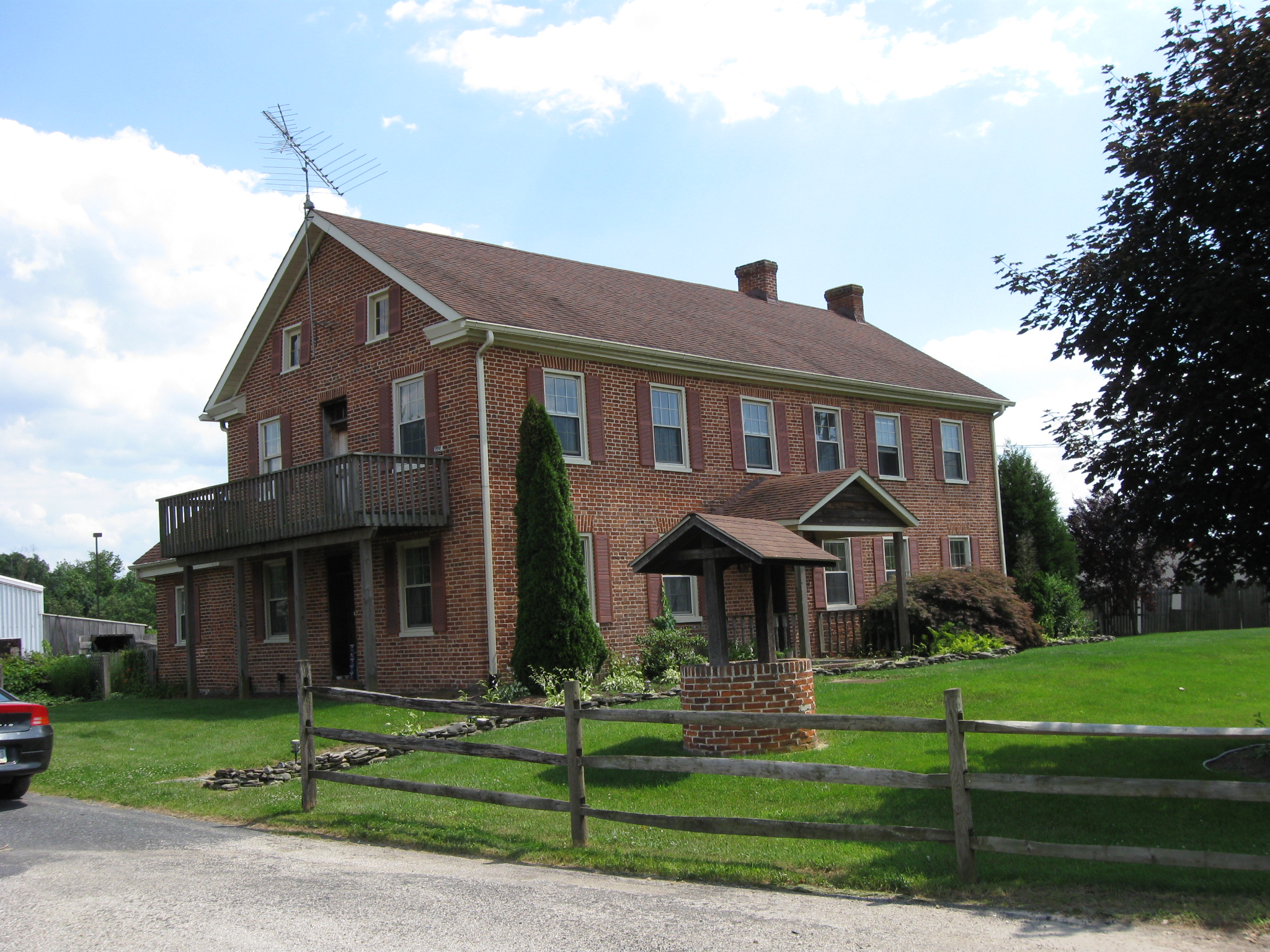
The Moritz Tavern was chosen as a headquarters for First Corps commander Major-General John F. Reynolds because it was at the junction of… This view was taken facing southeast at approximately 3:30 PM on Monday, June 29, 2009.

…the Emmitsburg Road which led to Gettysburg to the right (north) and Emmitsburg to the left (south)… This view was taken facing northwest at approximately 3:30 PM on Monday, June 29, 2009.

…and the Bullfrog Road which leads to Fairfield to the northwest. This view was taken facing northwest at approximately 3:30 PM on Monday, June 29, 2009.
In Video #2 Licensed Battlefield Guide Stuart Dempsey discusses our location, the corps in Reynolds’ left wing, and discusses a meeting in the tavern between Reynolds and Eleventh Corps commander Major-General Oliver Otis Howard. This view was taken facing north at approximately 3:30 PM on Monday, June 29, 2009.
In Video #3 Gettysburg Licensed Battlefield Guide Stuart Dempsey discusses more about the Moritz Tavern and its historical significance. This view was taken facing north at approximately 4:00 PM on Tuesday, June 30, 2009.
In Video #4 Gettysburg Licensed Battlefield Guide Stuart Dempsey explores another location related to the Eleventh Corps’ activities near the Moritz Tavern. This view was taken facing north at approximately 5:00 PM on Tuesday, June 30, 2009.