The Culp’s Hill Tower was built in 1895. It stands sixty feet above the summit of the hill, and was originally constructed for military study of the battlefield. The granite monument to Pennsylvania Independent Battery E (Knap’s Pennsylvania Battery) is located in the right foreground. It is missing the large granite cannonball, which frequently sits on top of the monument. This time, it was possibly stolen between Thursday and Friday nights of last week. A section of Battery K, 5th United States Artillery (Kinzie’s) is located at the bottom of the tower. This view was taken from the east facing west at approximately 7:30 AM on Monday, October 13, 2008.
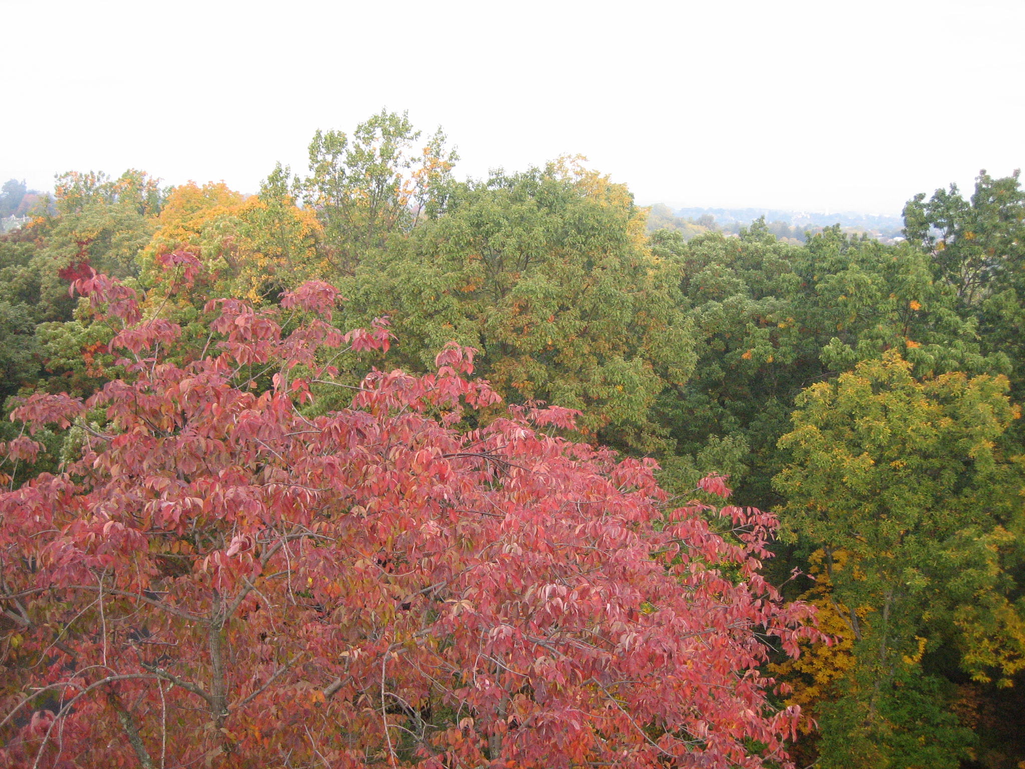
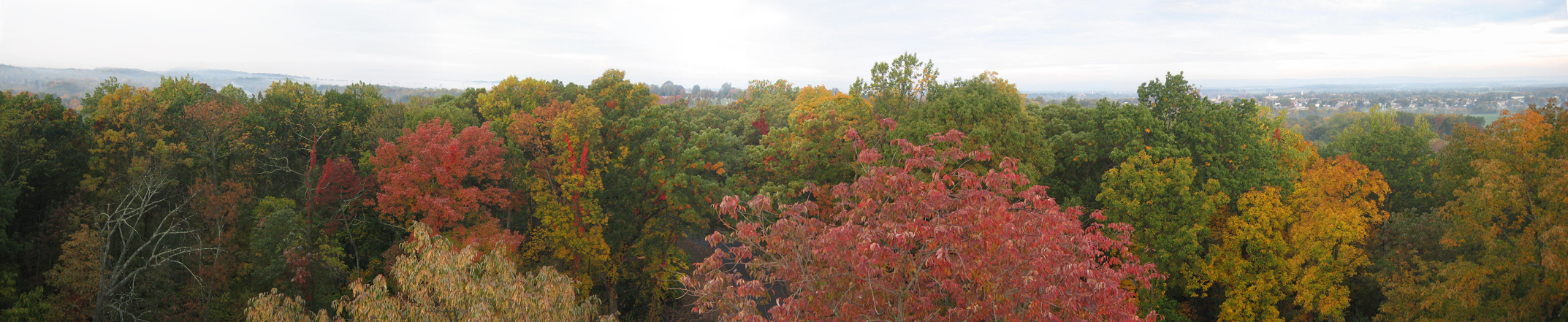
We’ve just completed a very busy Columbus Day weekend. It was warm, and the colors are outstanding. We’ll have some full length pictures of trees in the next couple of weeks, but today we’ve taken pictures of the tops of the trees. We’ve climbed the Culp’s Hill Tower, above the ground fog, to take a panorama shot from the west side of the tower. This isn’t the best time of year to show the battlefield, because the leaves block the view. But the leaves are today’s subject. We threw in some shots of this area without leaves for some comparison/contrast. Remember, you can click on any of our images to enlarge them.
We’ve stitched together today’s photographs into a panorama.
For a medium-sized version of the panorama click here. For the larger JPEG version, click here. If you’d like to see the uncompressed TIFF file, you can download it here (26.7 MB).
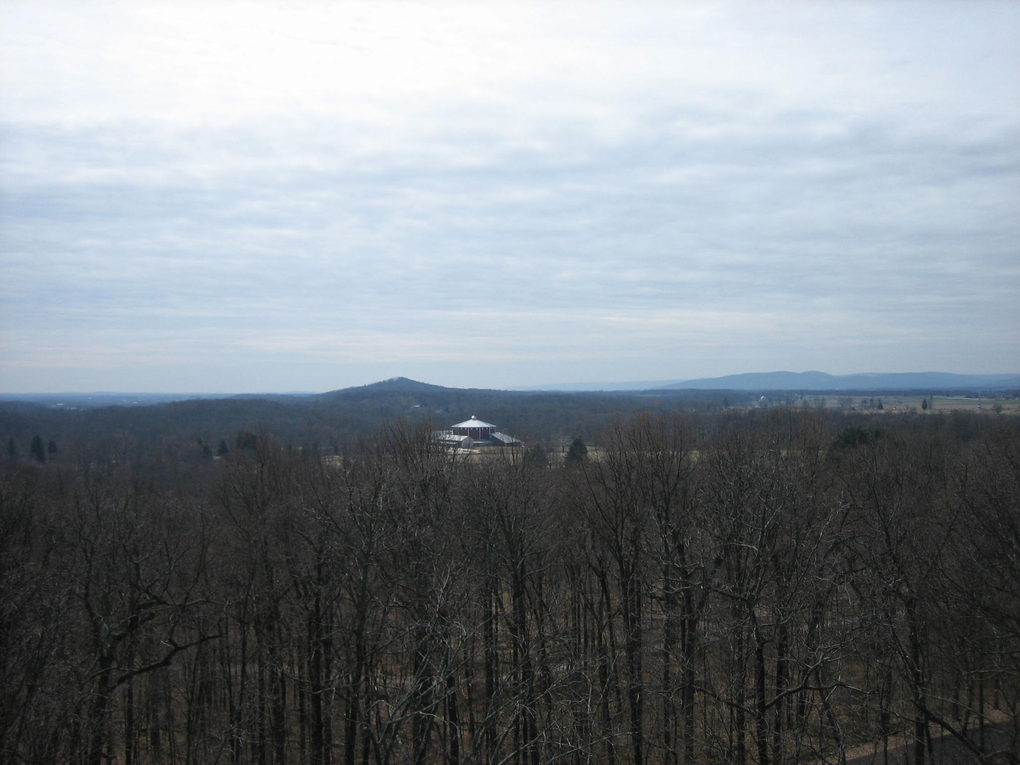
We will “pan” this area from left to right, or south to north. Big Round Top is in the fog in the center background. The roof on the new Gettysburg National Park Visitor Center is barely visible in the center of this photograph. Cemetery Ridge is in the fog in the right background. This view is from the north facing south at approximately 7:30 AM on Monday, October 13, 2008.
Here’s this same view on March 30, 2008. This view is from the north facing south at approximately 1:00 PM on Sunday, March 30, 2008.
The ground fog on Cemetery Ridge is in the left background. Evergreen Cemetery on Cemetery Hill is in the right background. This view is from the northeast facing southwest at approximately 7:30 AM on Monday, October 13, 2008.
Here’s a closer view of the fog on Cemetery Ridge. The dome on the Pennsylvania Monument is barely visible in the left center. The monument to the U.S. Regulars (light colored shaft) is visible to the right. View is from the northeast facing southwest at approximately 7:30 AM on Monday, October 13, 2008.
Here’s this view on March 30, 2008. View from the northeast facing southwest at approximately 1:00 PM on Sunday, March 30, 2008.
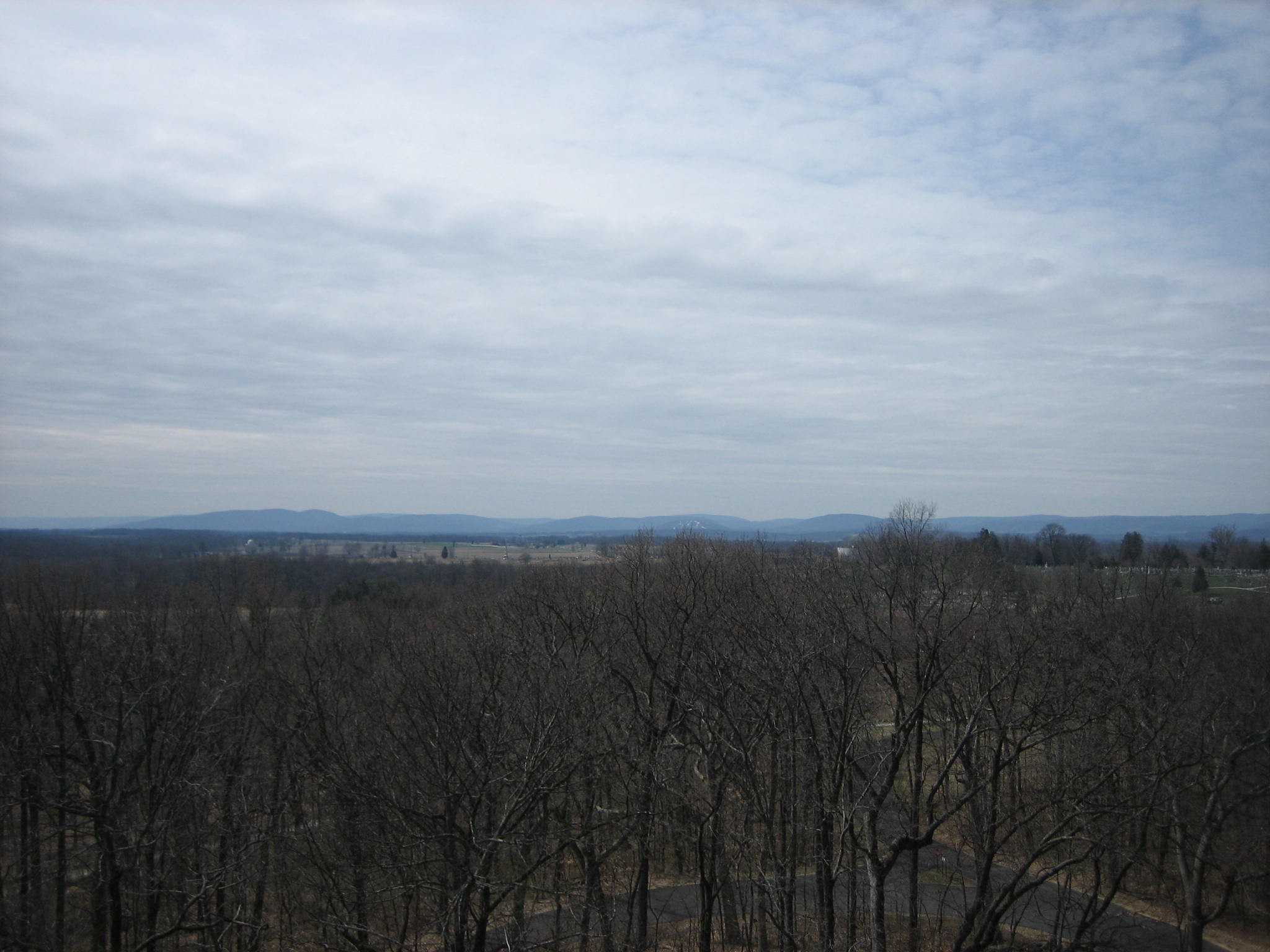
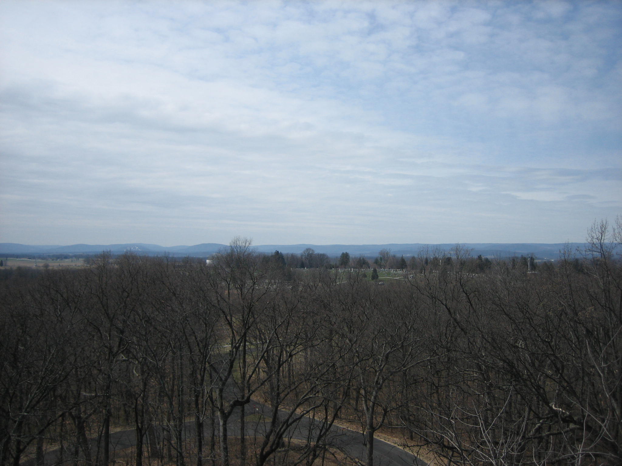
Evergreen Cemetery on Cemetery Hill is in the center background. Slocum Avenue is at the bottom of the hill. View from the east facing west at approximately 7:30 AM on Monday, October 13, 2008.
Here’s a closer view of the Evergreen Cemetery on Cemetery Hill. View from the east facing west at approximately 7:30 AM on Monday, October 13, 2008.
In this March 30, 2008 view, Evergreen Cemetery is in the center and right center background. View is from the east facing west at approximately 1:00 PM on Sunday, March 30, 2008.
A corner of Evergreen Cemetery is just visible in the left background. The light green/blue water tank/tower on East Cemetery Hill, that is sometimes a good landmark is not visible. View from the southeast facing northwest at approximately 7:30 AM on Monday, October 13, 2008.
In this March view, Evergreen Cemetery is on the left, and the light green/blue water tower is clearly visible. View is from the east facing west at approximately 1:00 PM on Sunday, March 30, 2008.
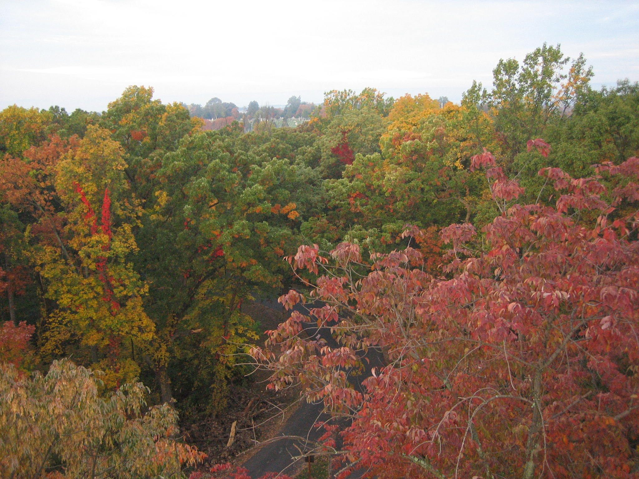
Seminary Ridge, and Schmucker Hall (Old Dorm) at the Lutheran Theological Seminary is in the center background. View from the southeast facing northwest at approximately 7:30 AM on Monday, October 13, 2008.
Here’s a little closer view of the Seminary Building. View is from the southeast facing northwest at approximately 7:30 AM on Monday, October 13, 2008.
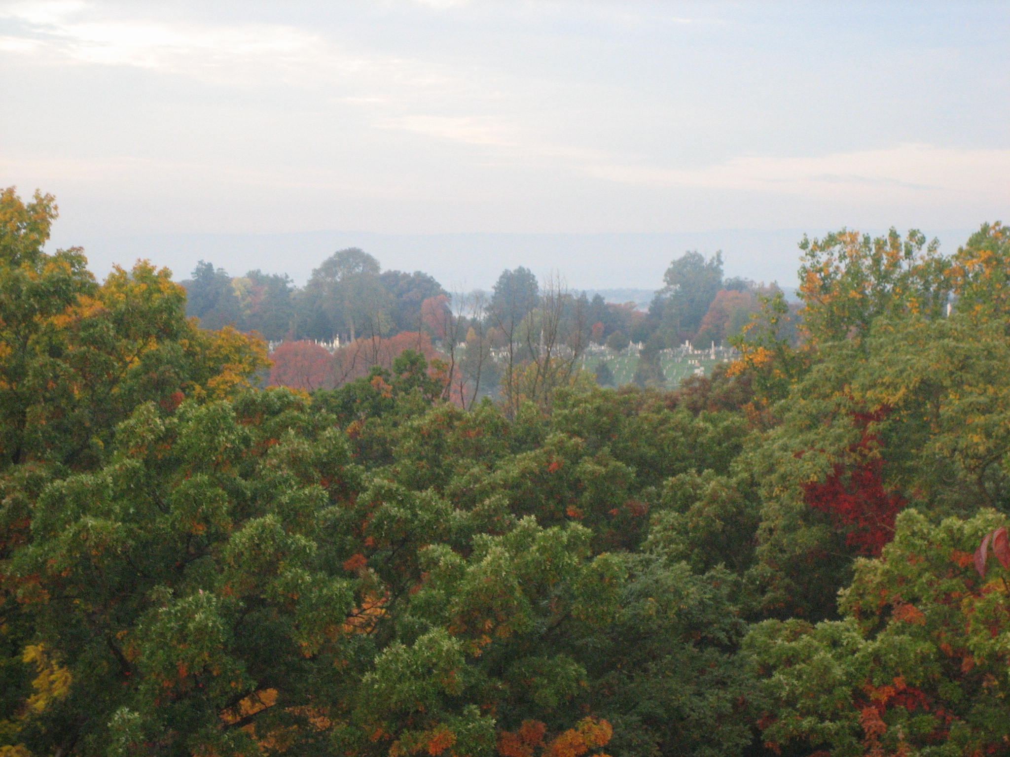
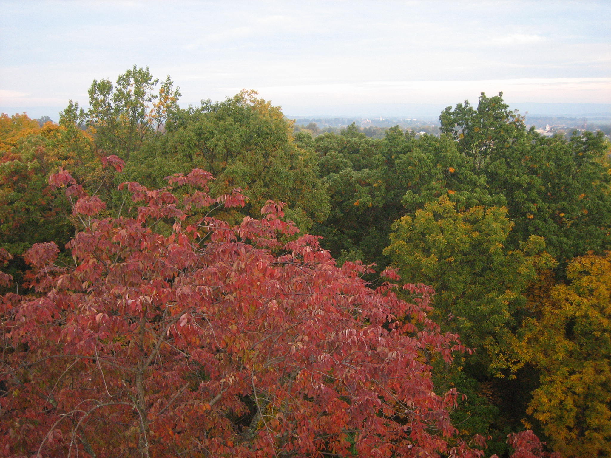
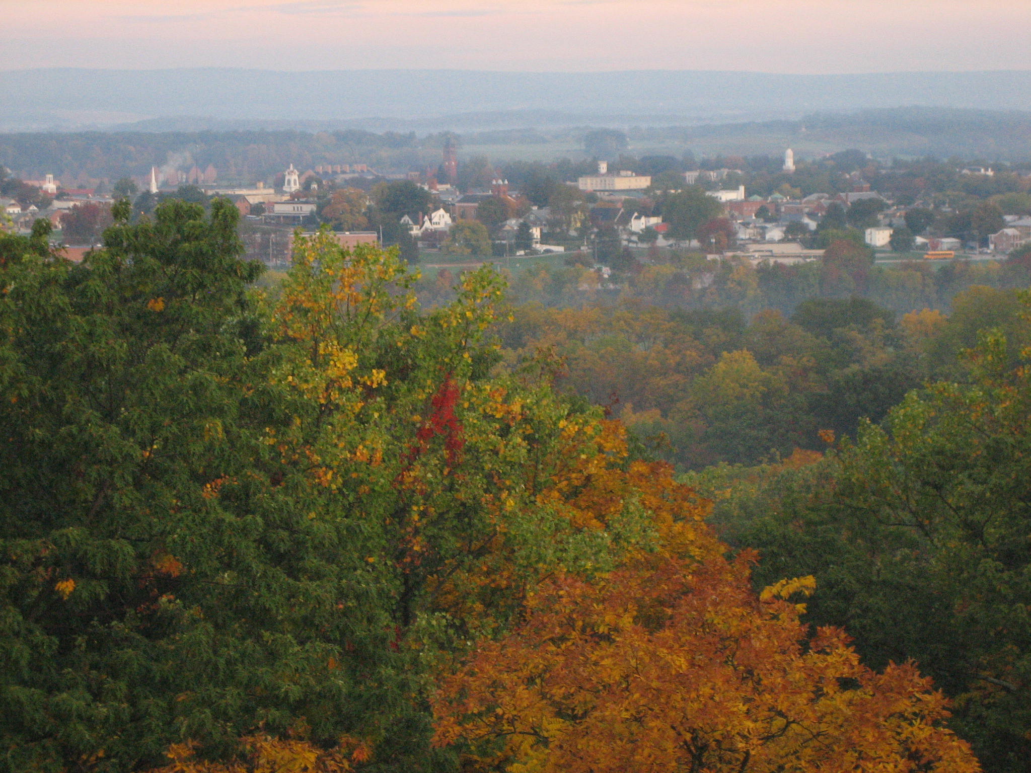
Seminary Ridge, and Schmucker Hall (Old Dorm) at the Lutheran Theological Seminary is in the left background. The town of Gettysburg is now in the right background. View from the southeast facing northwest at approximately 7:30 AM on Monday, October 13, 2008.
Here’s a closer view of downtown Gettysburg. Oak Ridge/Oak Hill, and the Peace Light (Eternal Light Peace Memorial) are visible above the white steeple on Christ Chapel at the Gettysburg College Campus. View from the southeast facing northwest at approximately 7:30 AM on Monday, October 13, 2008.
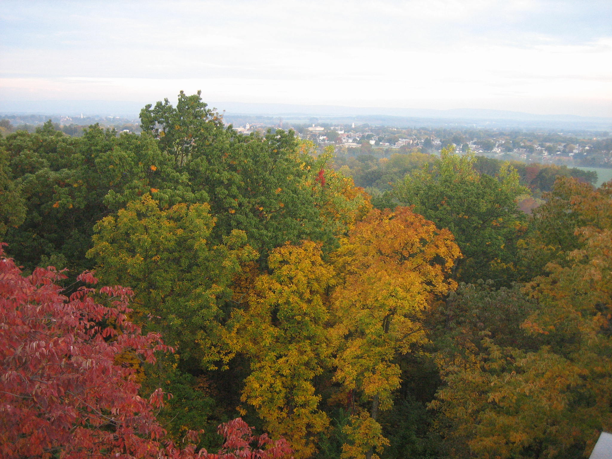
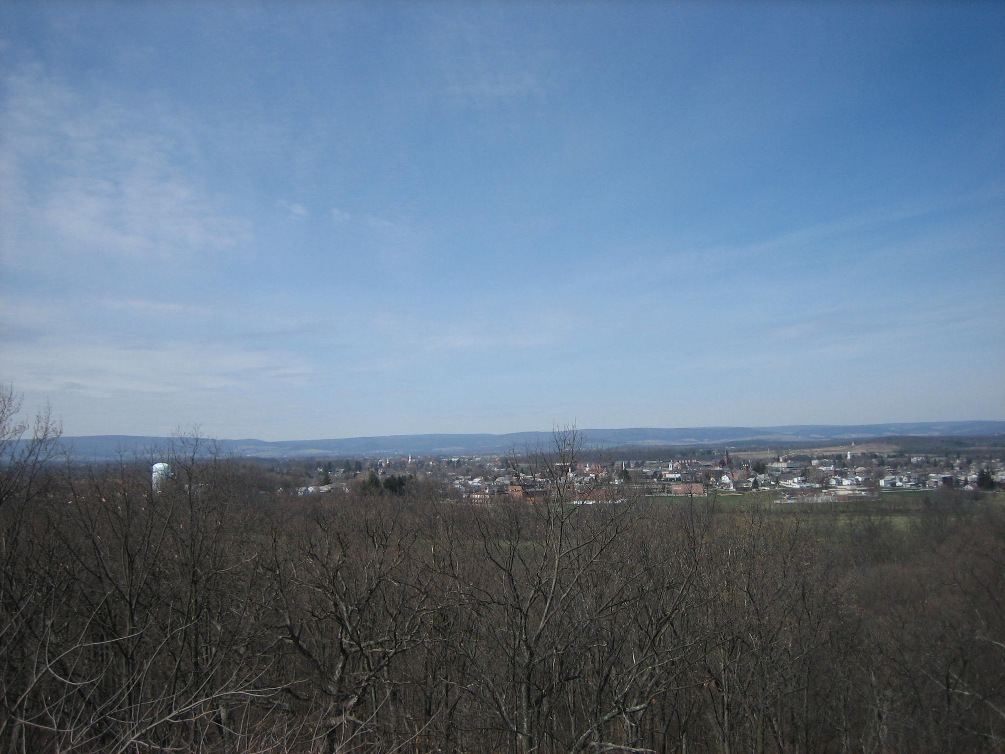
Here’s the town and Seminary Ridge/Oak Ridge above the town in March. View is from the southeast facing northwest at approximately 1:00 PM on Sunday, March 30, 2008.

