

The leaves are just beginning to turn yellow in McPherson’s Woods/Reynolds Woods/Herbst Woods where the monument to the 19th Indiana Infantry Regiment is located. This view was taken from the north facing south at approximately 5:00 PM on Wednesday, October 8, 2008.
Thank you to Dave Wilson and Joe Staysniak of WIBC FM in Indianapolis who interviewed us this afternoon concerning the website, the asphalting, and the new Visitor Center (you can listen to the interview in streaming format from the WIBC’s site or you can download the mp3). So for our Indianapolis fix we thought that we’d show photographs of the monument to the Iron Brigade’s 19th Indiana Infantry Regiment on the first day’s battlefield.
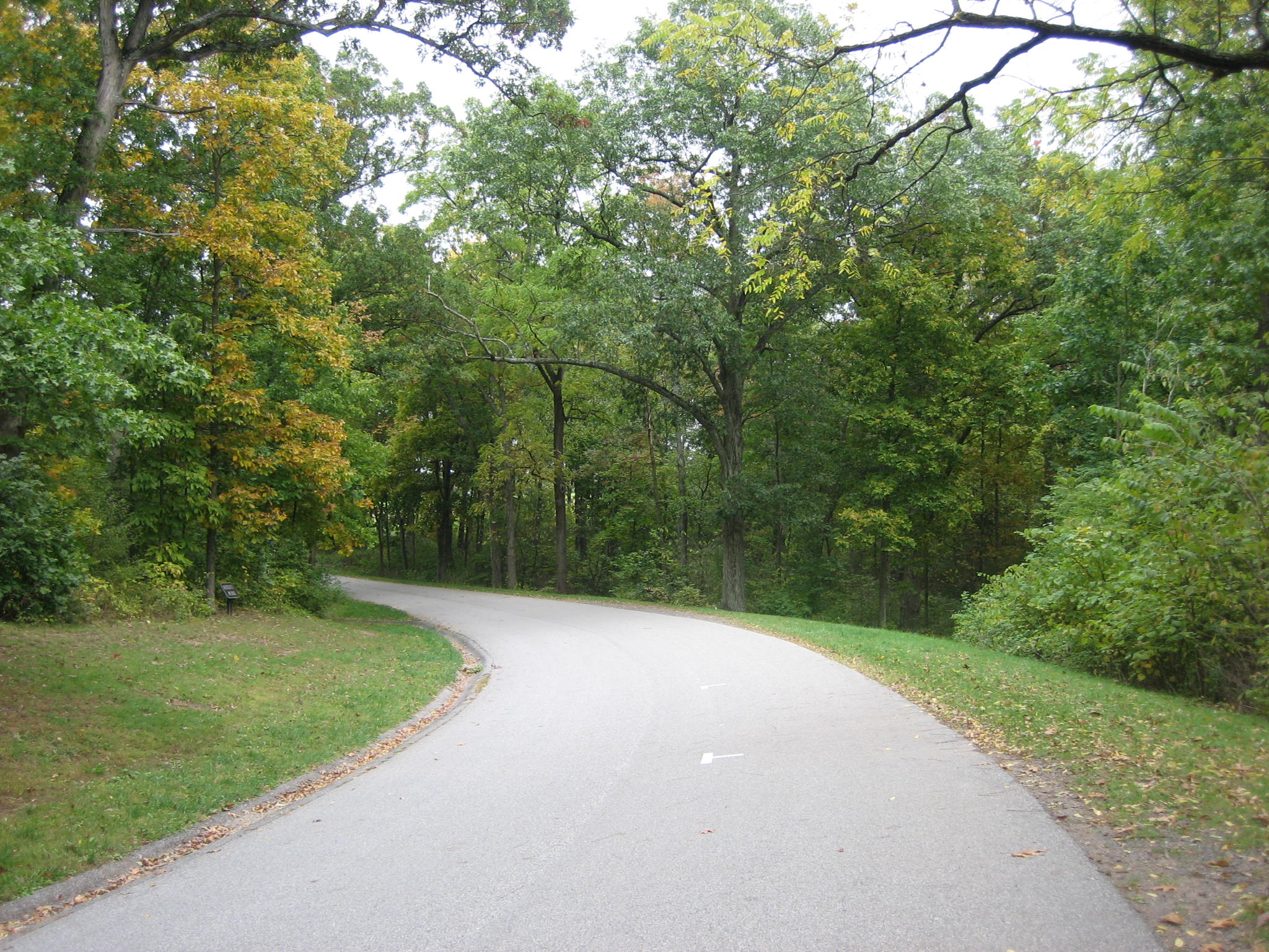
To get to the 19th Indiana, go into McPherson’s Woods on Stone Avenue, which later becomes Meredith Avenue. After passing the monument to the 24th Michigan, and the marker to the 26th North Carolina, you are on a curve heading southeast on Meredith Avenue. The 19th Indiana monument will be in the first small clearing on your right. This view was taken from the northwest facing southeast at approximately 5:00 PM on Wednesday, October 8, 2008.
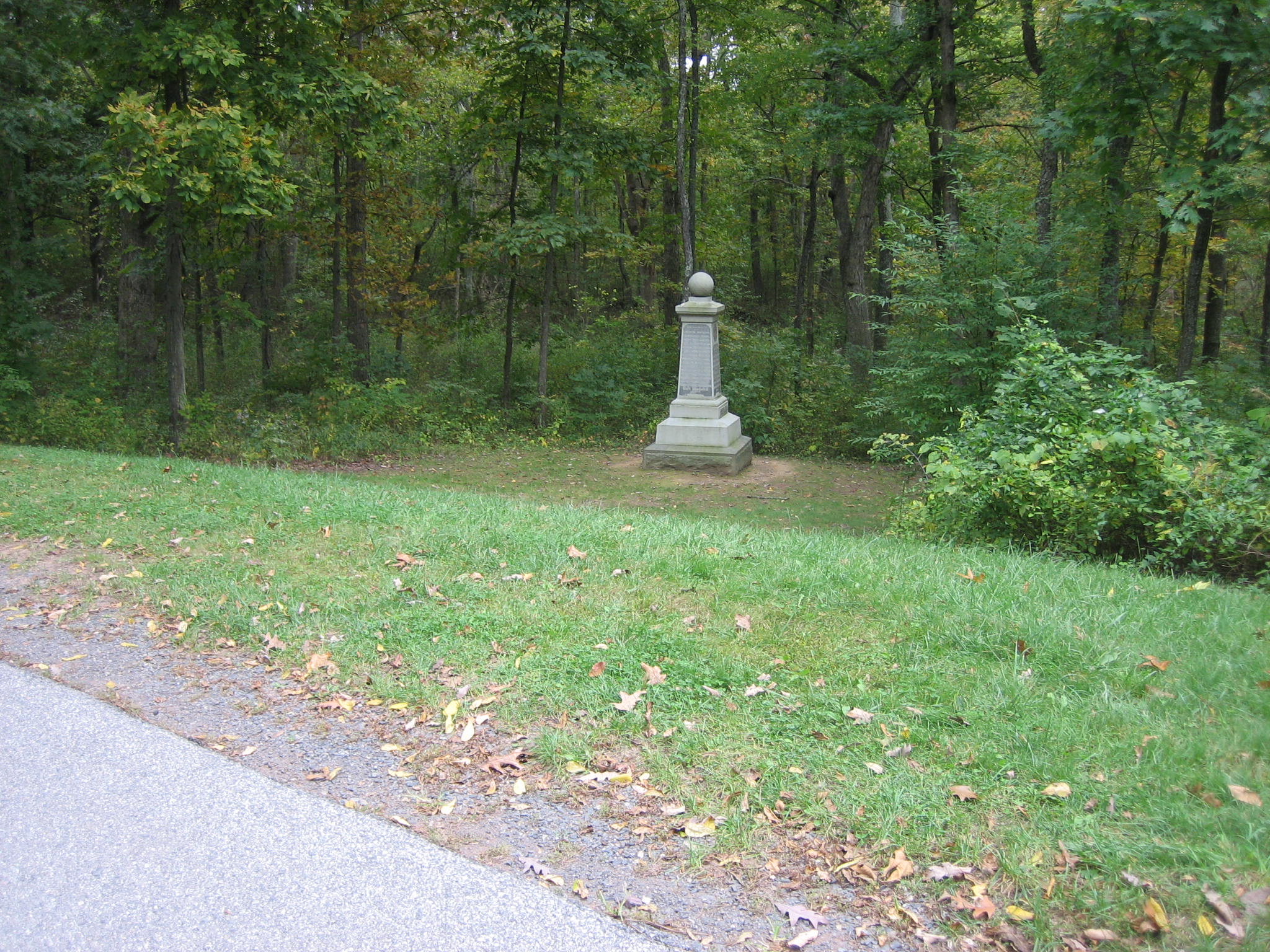
The monument is in the low ground near the position where the regiment fought in the afternoon of the first day. This view was taken from the northwest facing southeast at approximately 5:00 PM on Wednesday, October 8, 2008.
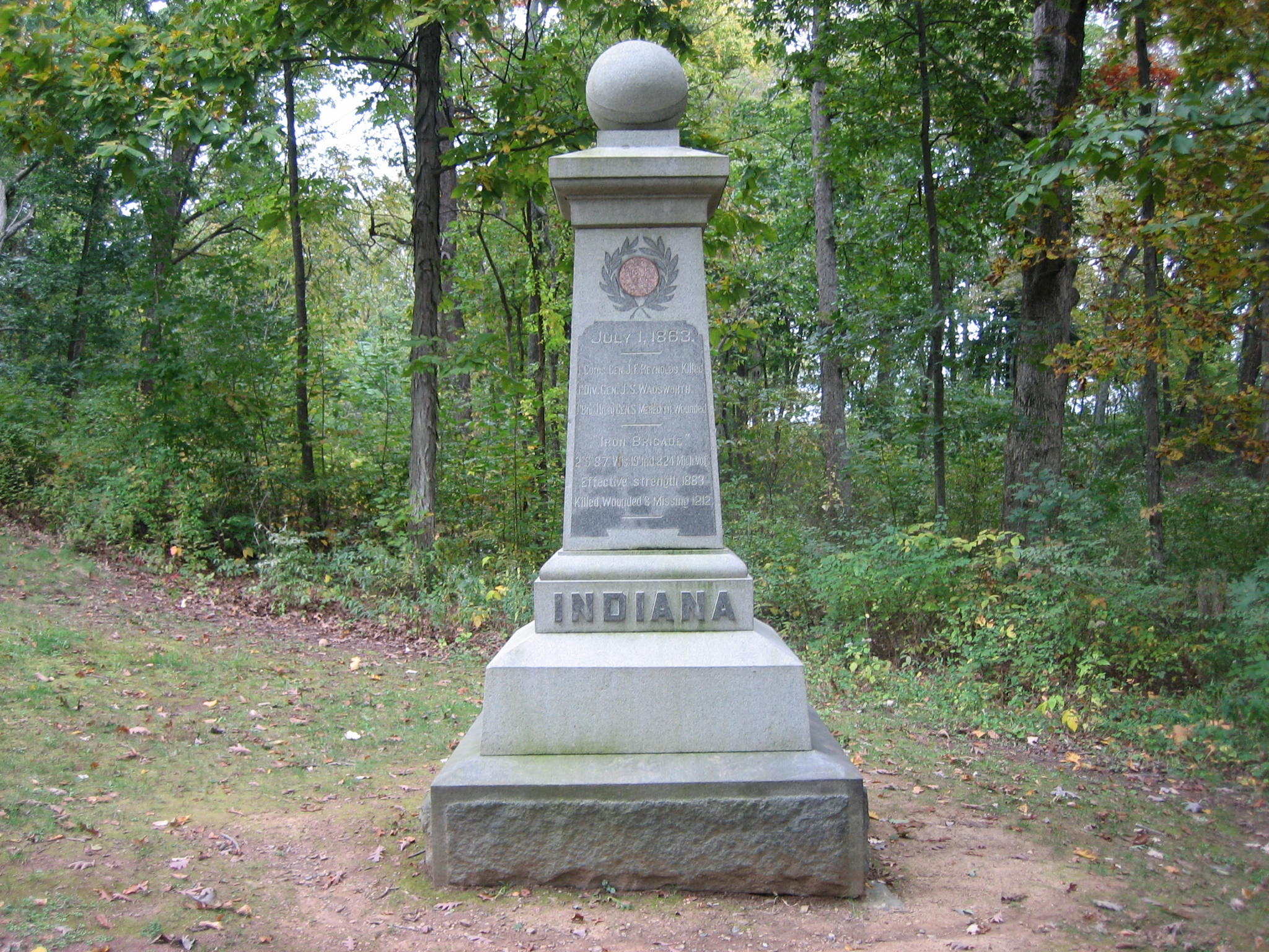
The 19th Indiana had approximately 308 men at Gettysburg. 210 or 68% of them were casualties, and almost all the casualties occurred on the first day. Most of the casualties occurred in this area as they fell back to Seminary Ridge and through the town that afternoon. This view was taken from the west facing east at approximately 5:00 PM on Wednesday, October 8, 2008.

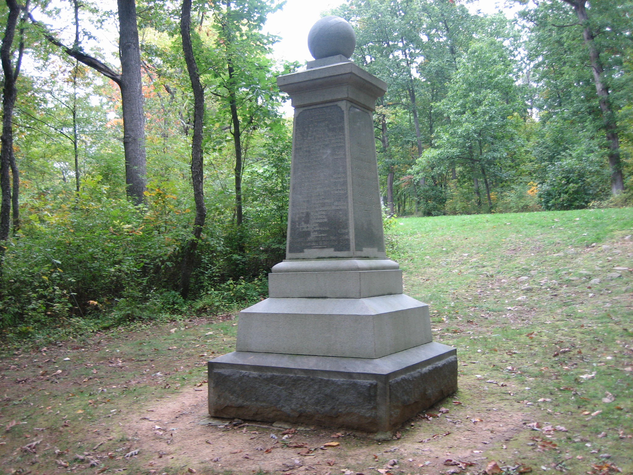
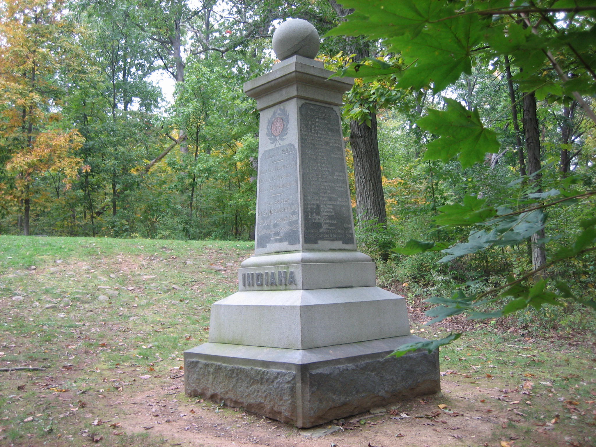
The 19th Indiana was the first of the Iron Brigade monuments to be erected on the battlefield. It was dedicated on October 28, 1885, and notes the other regiments in the brigade on the front (west) side of the monument. This view was taken from the west facing east at approximately 5:00 PM on Wednesday, October 8, 2008.

Of course the undergrowth would not have been this thick at the time of the battle, as farmers’ animals would have eaten the vegetation. Willoughby Run is located approximately 150 yards west and southwest of the monument. In the afternoon of the first day, the 19th Indiana attempted to keep the Confederates from crossing Willoughby Run. This view was taken from the northeast facing southwest at approximately 5:00 PM on Wednesday, October 8, 2008.
The 19th Indiana was organized in Indianapolis and mustered into United States service on July 29, 1861. The soldiers in the unit were recruited from the counties of Delaware, Elkhart, Johnson, Madison, Marion, Owen, Randolph, and Wayne. This view was taken from the east facing west at approximately 5:00 PM on Wednesday, October 8, 2008.
When the 19th entered McPherson’s Woods the morning of the first day, farther north of this position, they were ordered to charge from right to left, or east to west. Lietenant-Colonel William Dudley of the 19th later wrote, of an officer’s concern of leading his men in that charge: “His anxiety lest the fire of the enemy which his men cannot return, and the many obstacles which his line must encounter, may destroy the alignment and thus lose the momentum and break the face of his charge, and thus the precious lives entrusted to his care, which he sees strewn along the rear of the advancing line, be wasted; all these things are calculated to try his nerve and courage of the bravest officer.” This view was taken from the southeast facing northwest at approximately 5:00 PM on Wednesday, October 8, 2008.
Around midday, during a lull in the fighting, the commander of the 19th Indiana, Colonel Samuel J. Williams asked several times to shift the regiment to better defensive ground behind them on McPherson’s Ridge. His request was denied, and he announced to his regiment, “Boys, we must hold our colors on this line or die under them.” Five of their colorbearers would be killed or wounded on the 1st, but none of the survivors had an accurate count of exactly how many different men carried the flag that day. This view was taken from the southwest facing northeast at approximately 5:00 PM on Wednesday, October 8, 2008.

Because the 19th was the left regiment in the Iron Brigade’s line that afternoon, the Confederates attacked it in this position from the front, left flank (right in this photograph), and rear. The initial Confederate volleys killed 20 men and wounded 100 others here along a battleline that was no more than 100 yards wide. This view was taken from the northeast facing southwest at approximately 5:00 PM on Wednesday, October 8, 2008.

The 19th retreated back up the slope of McPherson’s Ridge. Of course Meredith Avenue did not exist at that time. In the retreat, many of the Hoosiers took cover behind some of the large trees on the slope, sometimes as many as four or five men behind a single tree. This view was taken from the west facing east at approximately 5:00 PM on Wednesday, October 8, 2008.
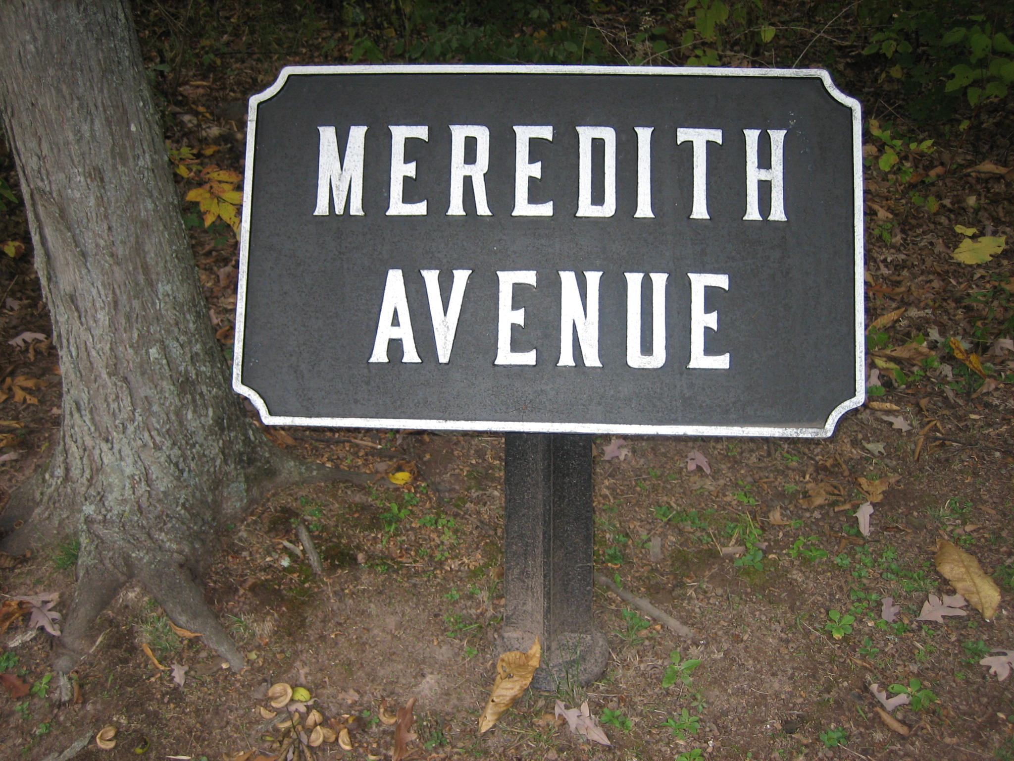
Meredith Avenue is named for the commander of the Iron Brigade, Brigadier-General Solomon J. Meredith(1810-1875). The North Carolina born Meredith was a farmer, and Sheriff of Wayne County, Indiana before the Civil War. He was the first Colonel of the 19th Indiana. This view was taken from the south facing north at approximately 5:00 PM on Wednesday, October 8, 2008.

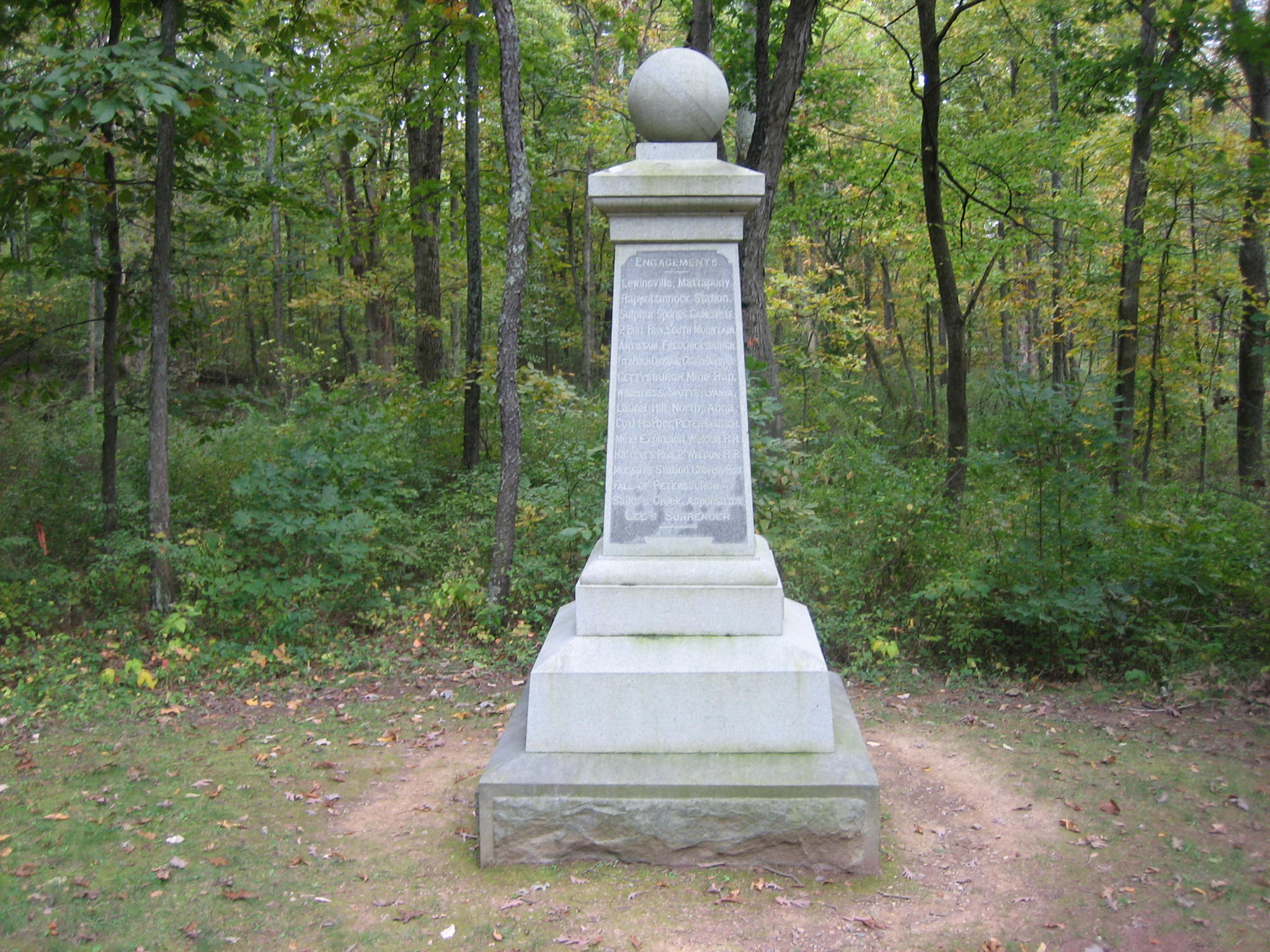
The 19th Indiana would eventually retreat back to Seminary Ridge, then through the town. The unit held a position on Culp’s Hill on July 2nd and 3rd. The breakdown of their 210 Gettysburg casualties: 27 killed, 133 wounded, and 50 missing or captured. This view was taken from the northeast facing southwest at approximately 5:00 PM on Wednesday, October 8, 2008.