
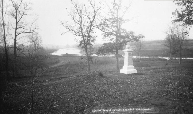
A view of the recently dedicated (October 28, 1885) monument to the 19th Indiana Infantry Regiment. The stream is Willoughby Run. On the right (west) side of the run was the property of Emmanuel Harman or Emanuel Harmon or Emanuel Harmon or Emmanuel Harmon. On the left (east) side of the run is visible the farm structures of John Herbst. Willoughby Run was not this wide in 1863. It was dammed after the war. On July 1, 1863, the right wing of the 26th North Carolina Infantry Regiment crossed Willoughby Run in the right background. The 11th North Carolina crossed Willoughby Run in the area where it is shown to be wider. Bushes and brambles along the creek banks helped to break up their formations in 1863. This view was taken facing southwest by William Tipton circa 1885 and is courtesy of Gettysburg National Military Park.
Its been a while since we’ve shown you the progress on the tree clearing on the east slope of McPherson’s Ridge near the monument to the 19th Indiana Infantry Regiment.
See the following related posts:
Tree Cutting Near the 19th Indiana Monument on February 14, 2011
Iron Brigade’s 19th Indiana Monument on October 8, 2008
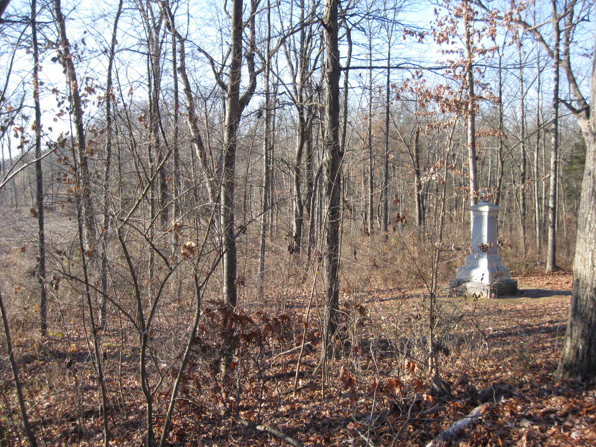
This picture of the 19th Indiana Monument shows that the National Park Service still has a way to go before the 1863 view is restored. This view was taken facing southwest at approximately 10:00 AM on Sunday, December 11, 2011.

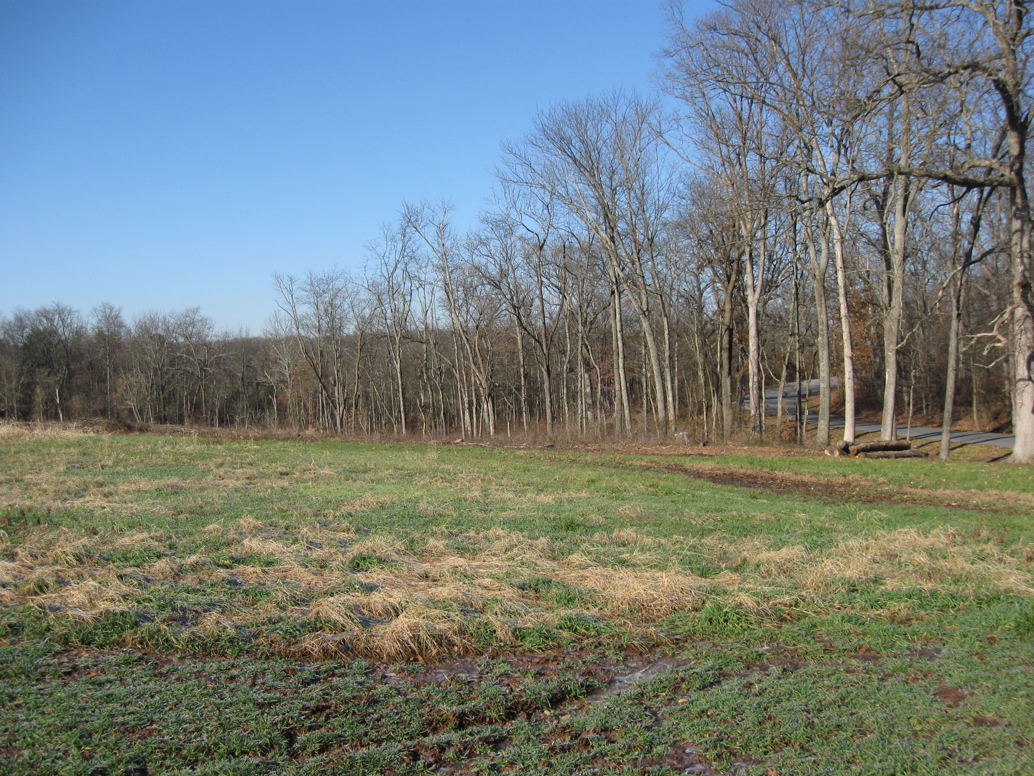
This picture shows that there has been progress made, mostly on the slope of McPherson’s Ridge. This view was taken facing southwest at approximately 10:00 AM on Sunday, December 11, 2011.
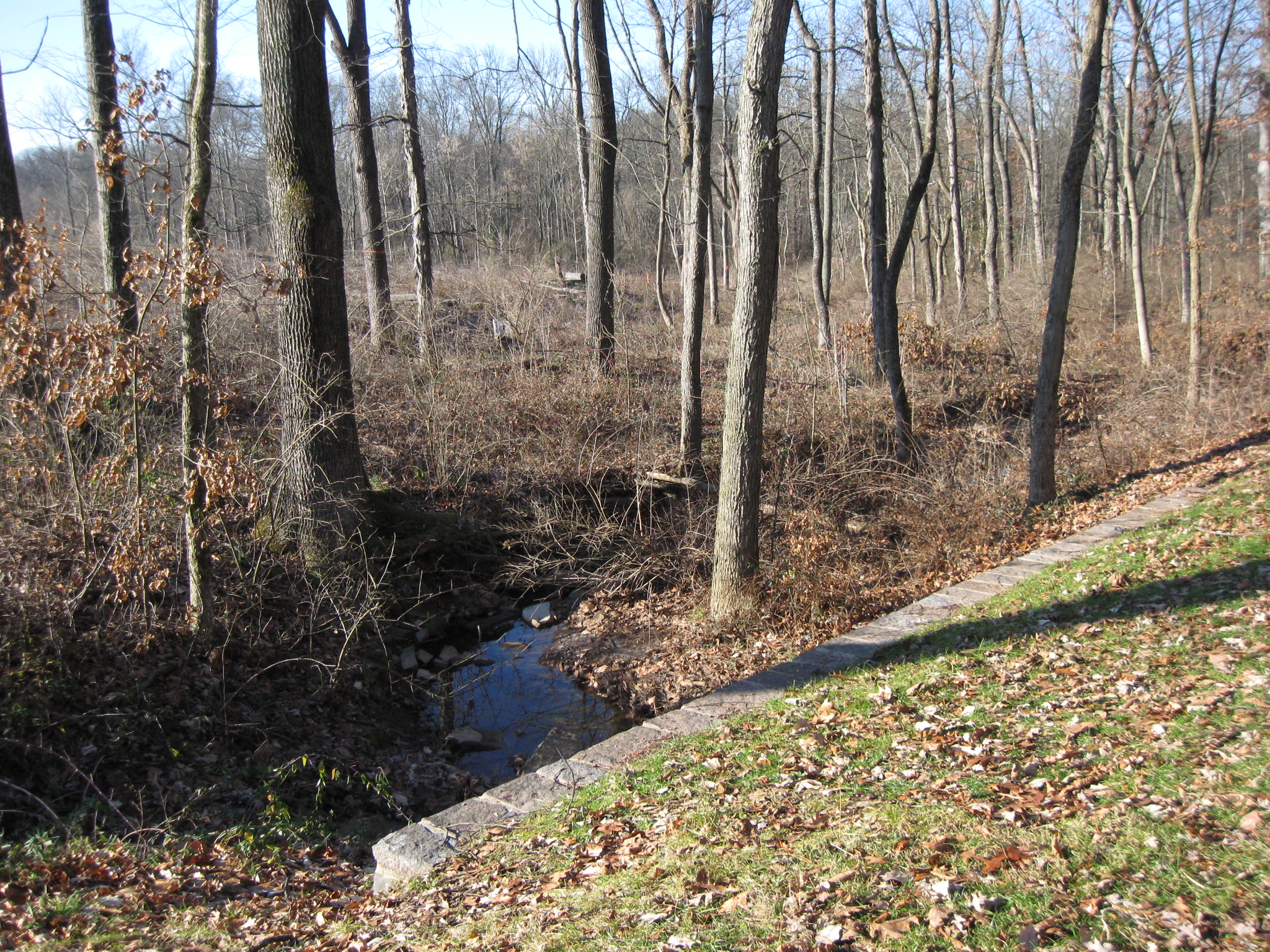
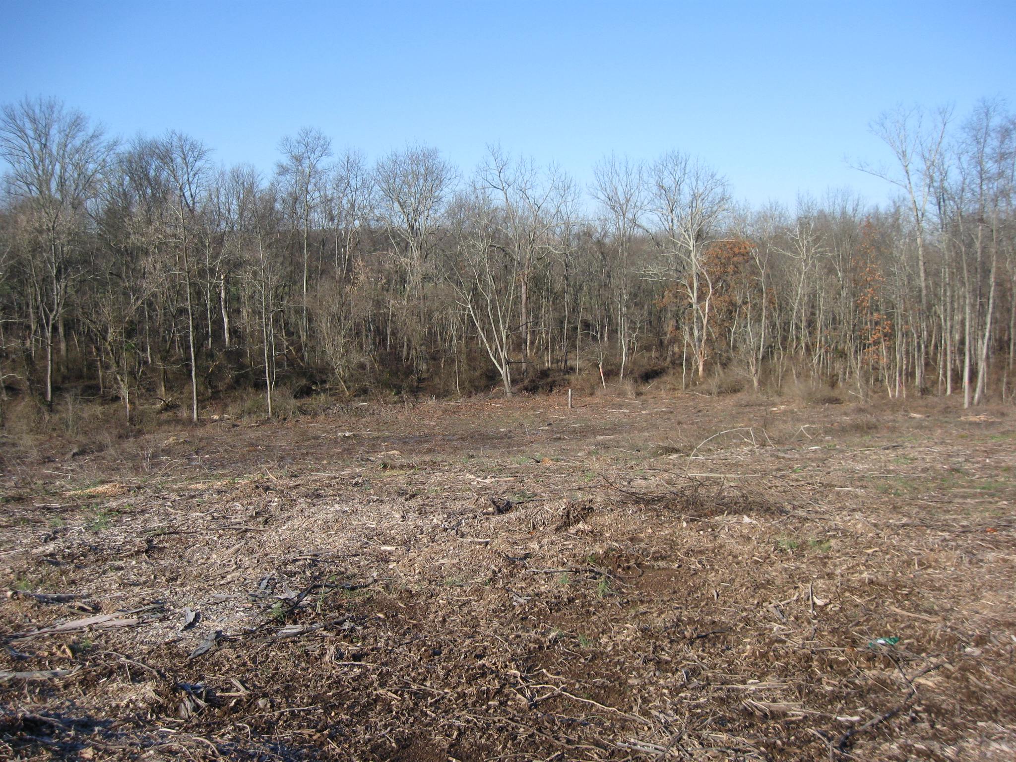
The dividing line appears to be this small run which flows into Willoughby Run. Trees on the left are cut down. Trees on the right have not yet been cut. This image was taken facing southwest at approximately 10:00 AM on Sunday, December 11, 2011.
We’ll approach the area that has been cut from the same direction that multiple Union military units had a view on July 1, 1863. This view was taken facing west at approximately 10:00 AM on Sunday, December 11, 2011.
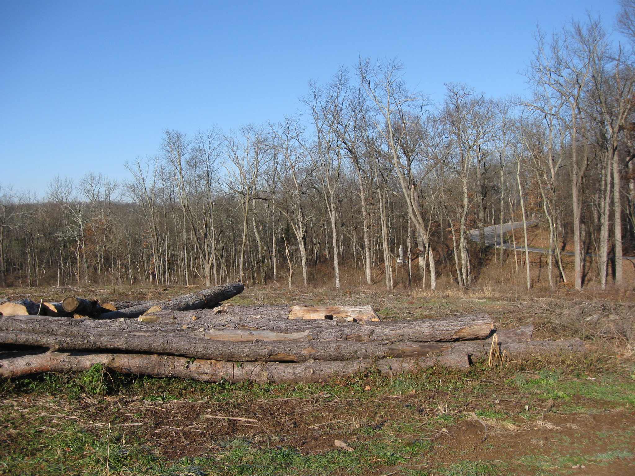
Meredith Avenue, which used to be Stone Avenue is on the right. This view was taken facing northwest at approximately 10:00 AM on Sunday, December 11, 2011.
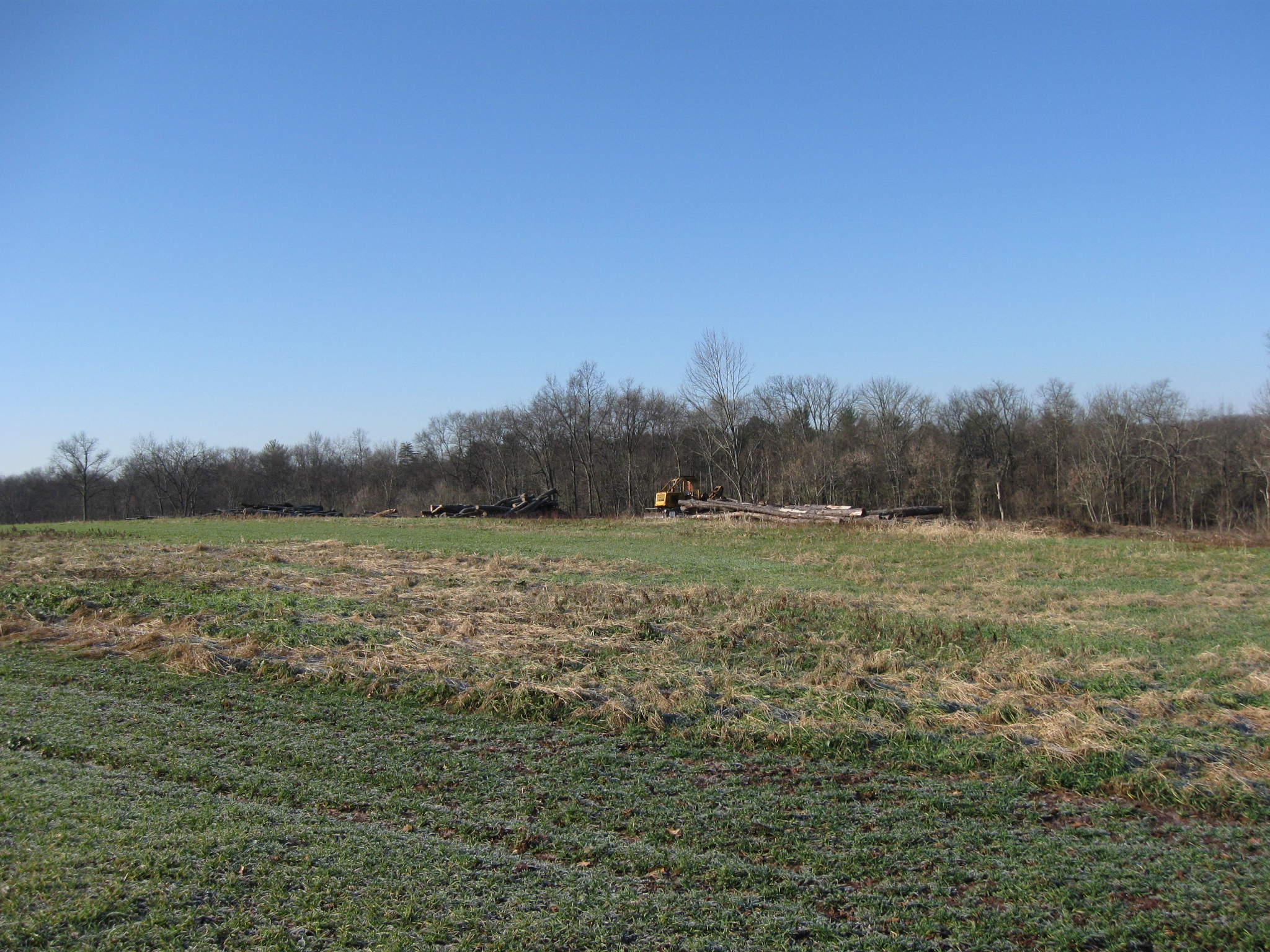
We’ll move towards the area where the cut trees are piled. This view was taken facing west at approximately 10:00 AM on Sunday, December 11, 2011.
The 19th Indiana Monument is the white lighter colored object in the trees to the left of Meredith Avenue. This view was taken facing northwest at approximately 10:00 AM on Sunday, December 11, 2011.
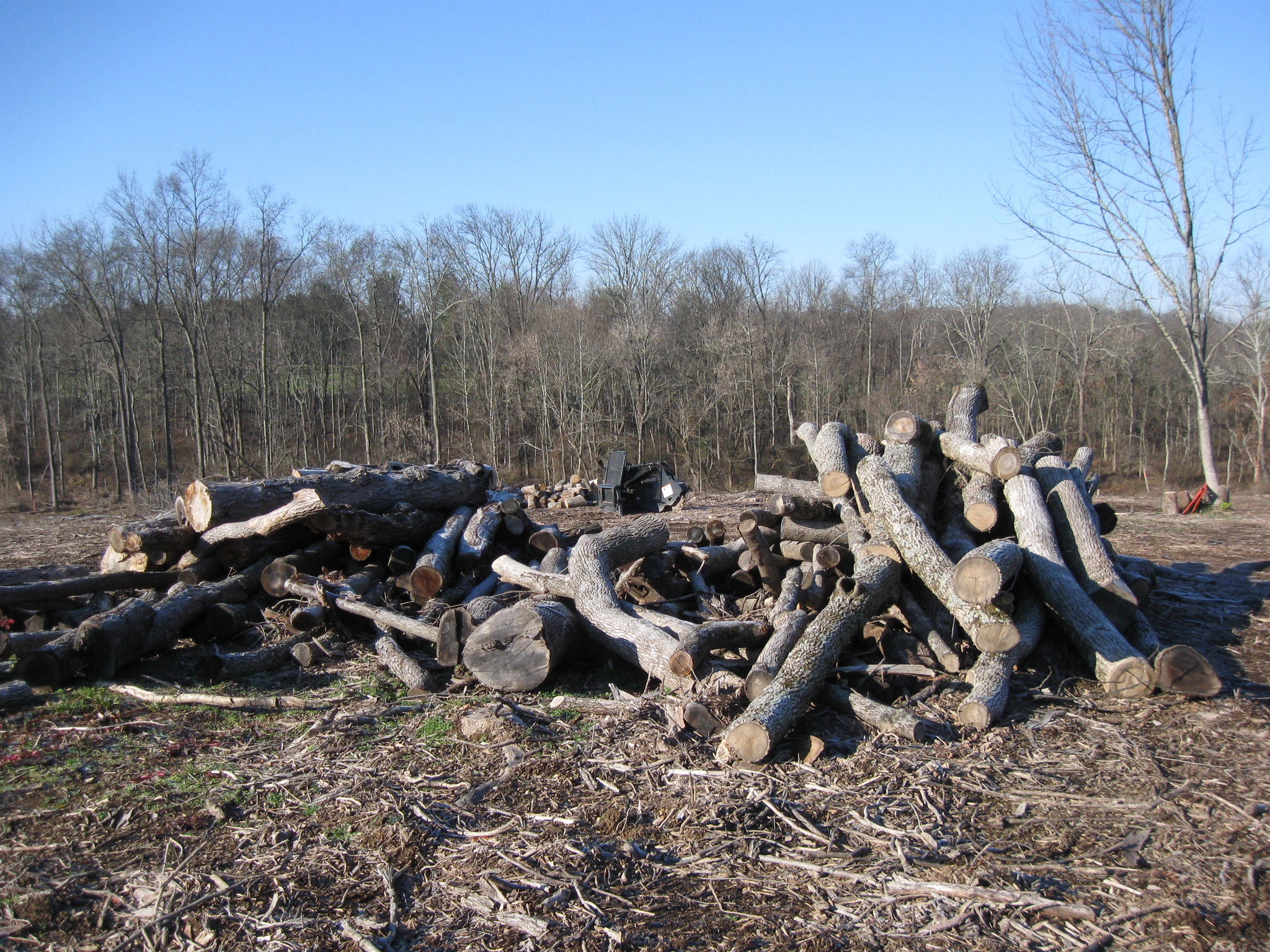
This is the tallest pile of wood that has not been removed. This view was created facing northwest at approximately 10:00 AM on Sunday, December 11, 2011.

There is another pile to the left or south. This view was taken facing southwest at approximately 10:00 AM on Sunday, December 11, 2011.
Ahead of us however, is clear ground down to Willoughby Run. This view was taken facing northwest at approximately 10:00 AM on Sunday, December 11, 2011.

The cleared ground almost reaches the monument to the 19th Indiana. This view was taken facing south at approximately 10:00 AM on Sunday, December 11, 2011.

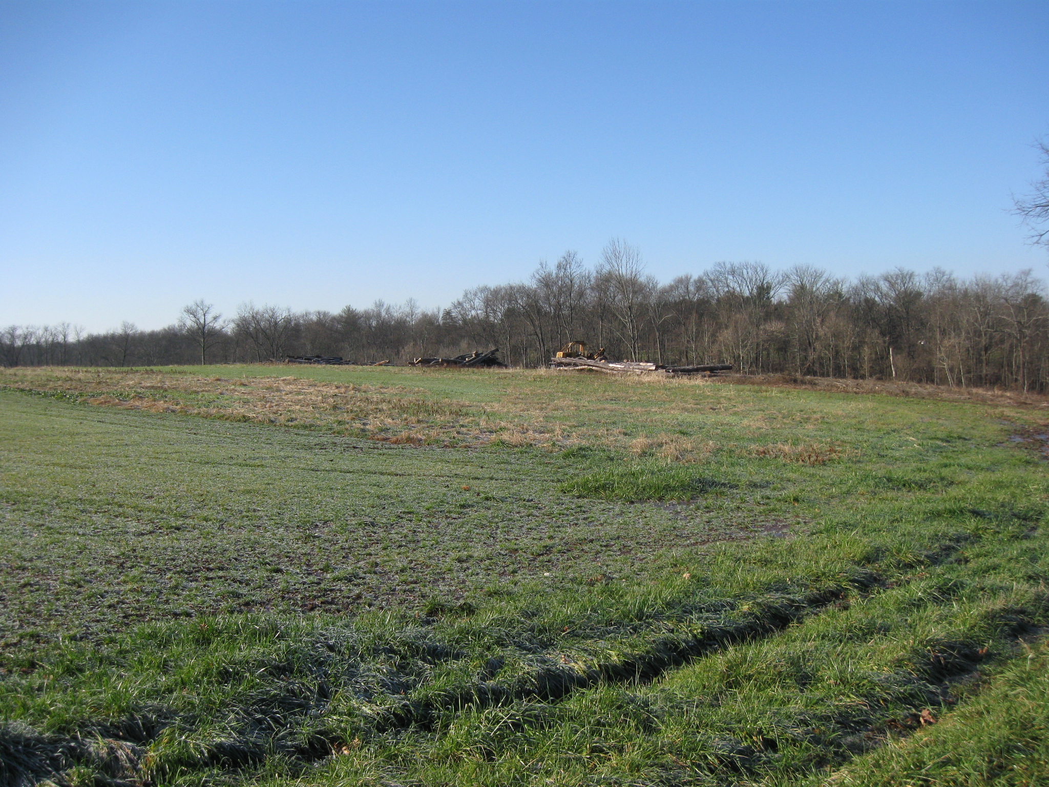
Here is a panorama of the area that has been cleared over the summer. This view was taken facing southwest to northeast at approximately 10:00 AM on Sunday, December 11, 2011.