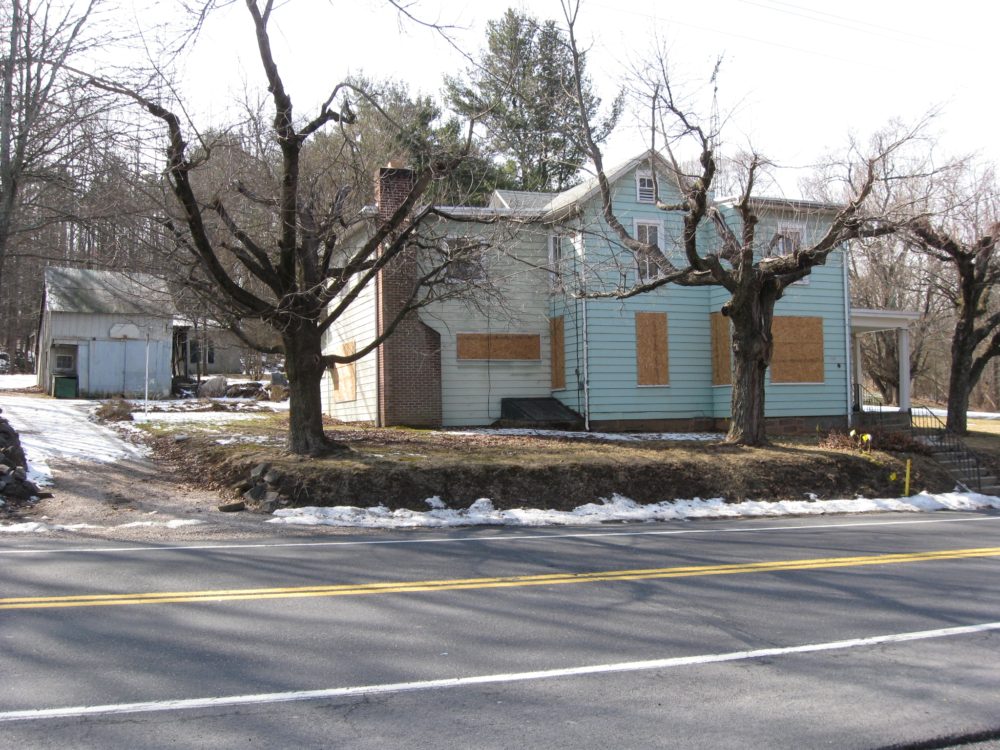
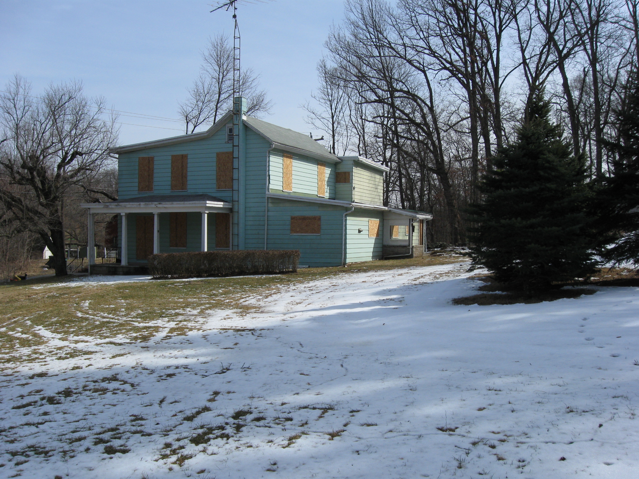
The Civil War Preservation Trust has purchased five acres of Powers Hill property, which borders the Baltimore Pike. The boarded up house is part of this newly acquired property. This view was taken facing northwest at approximately 1:15 PM on Saturday, February 26, 2011.
As part of the National Park Service’s efforts to return the Gettysburg Battlefield closer to its 1863 appearance, preparations have been made to remove trees from Powers Hill. Powers Hill is located in an area between the Baltimore Pike, Blacksmith Shop Road, and Granite School House Lane. It was known during the battle as a Union artillery position, as the headquarters of the Twelfth Corps commander Major General Henry Slocum, and as the temporary headquarters of Army of the Potomac commander Major General George Gordon Meade. Meade moved his headquarters from the Leister House to this Powers Hill during the bombardment preceding Pickett’s Charge. He returned to Cemetery Ridge after Pickett’s Charge had been repulsed.
Our first Powers Hill Tree Removal Post was shown on December 20, 2010.
This map gives you an idea of the location of Powers’ Hill, and of the trees currently covering the Powers’ Hill area. The newly acquired property is in the area labeled “Duffer” on the Mulligan Mac Duffer Adventure label near the upper right side of the view, and left (west) of the Baltimore Pike. This map was created facing north at approximately 4:00 PM on Saturday, February 26, 2011.
A closer view of the plaques on the Slocum Headquarters Marker. Notice it states that Slocum’s headquarters were approximately 230 yards “westerly” or behind the marker, and up the slope of Powers Hill. This view was taken facing southwest at approximately 1:15 PM on Saturday, February 26, 2011.
The National Park Service had $235,000 set aside to acquire this property. This view was taken facing west at approximately 1:15 PM on Saturday, February 26, 2011.
The owners wanted more than $235,000 for the property. This view was taken facing west at approximately 1:15 PM on Saturday, February 26, 2011.
The Civil War Preservation Trust negotiated with the owners and signed a contract to purchase the property for $310,000. This view was taken facing southwest at approximately 1:15 PM on Saturday, February 26, 2011.
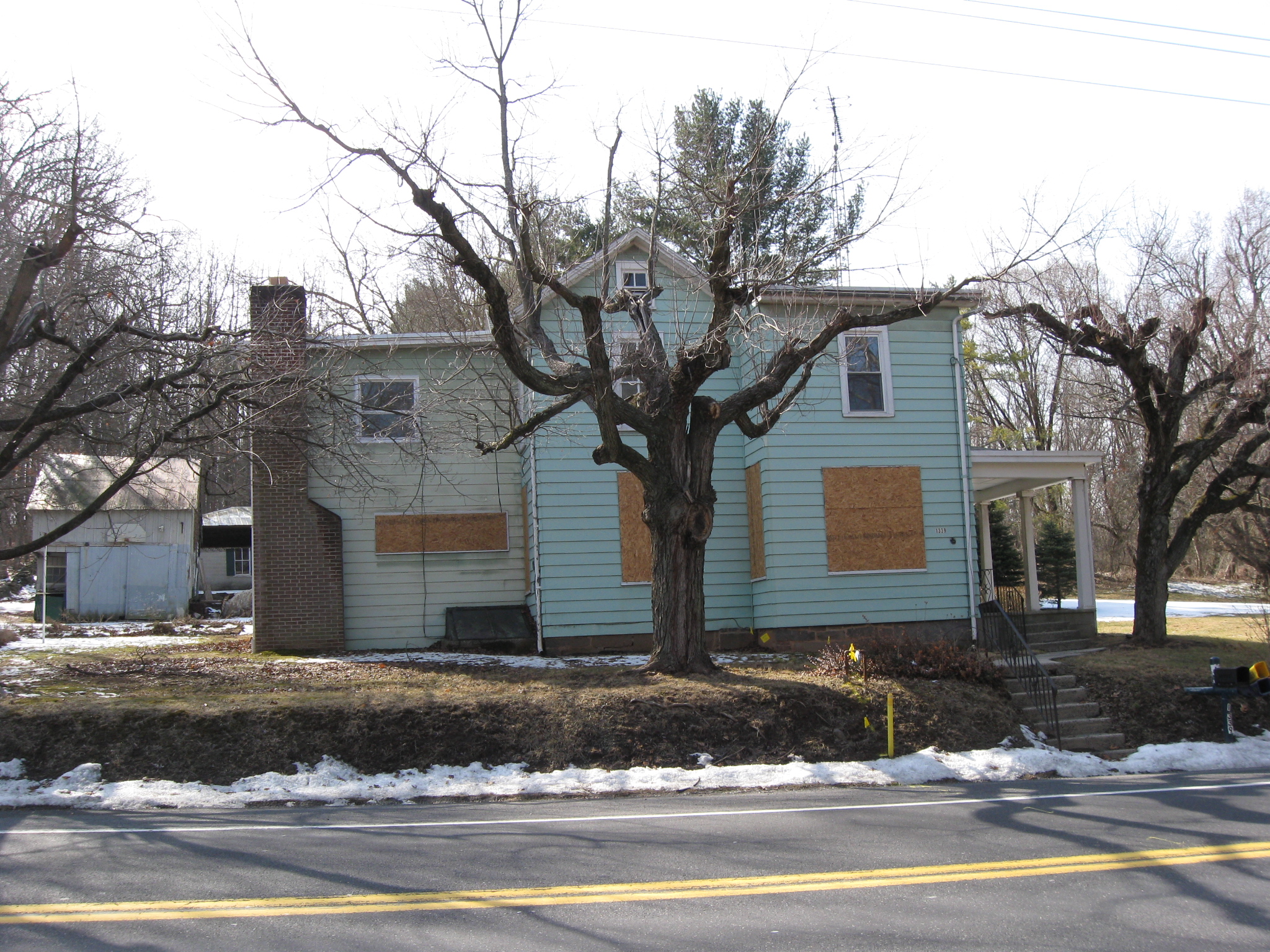
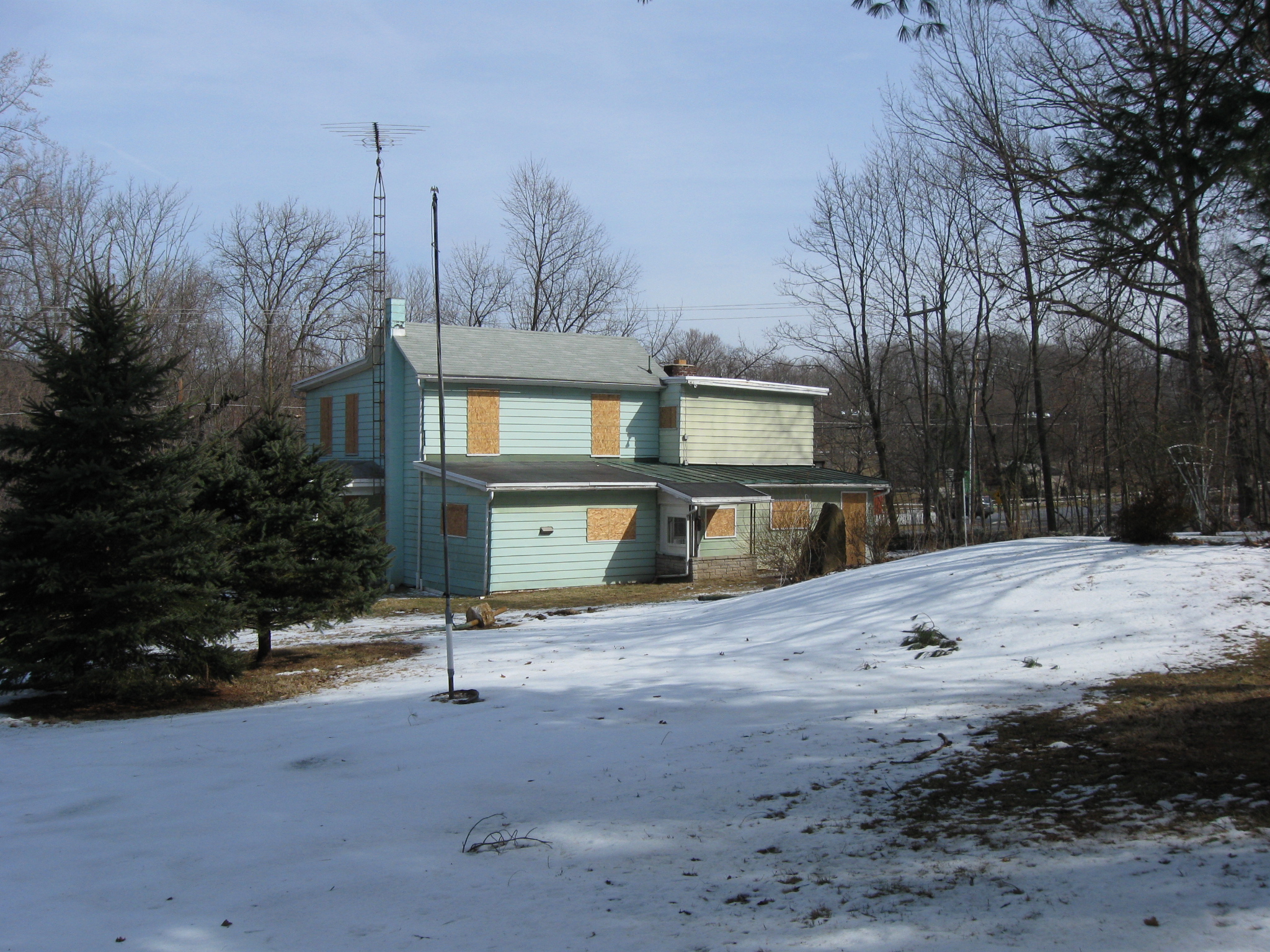
So the Civil War Preservation Trust launched an effort late last year to raise the $75,000 difference. This view was taken facing south at approximately 1:15 PM on Saturday, February 26, 2011.
The purchased property is in the right background on the west side of the Baltimore Pike. The monument on the left is one of two in this area to the 21st Pennsylvania Cavalry Regiment. This view was taken facing southeast at approximately 1:15 PM on Saturday, February 26, 2011.
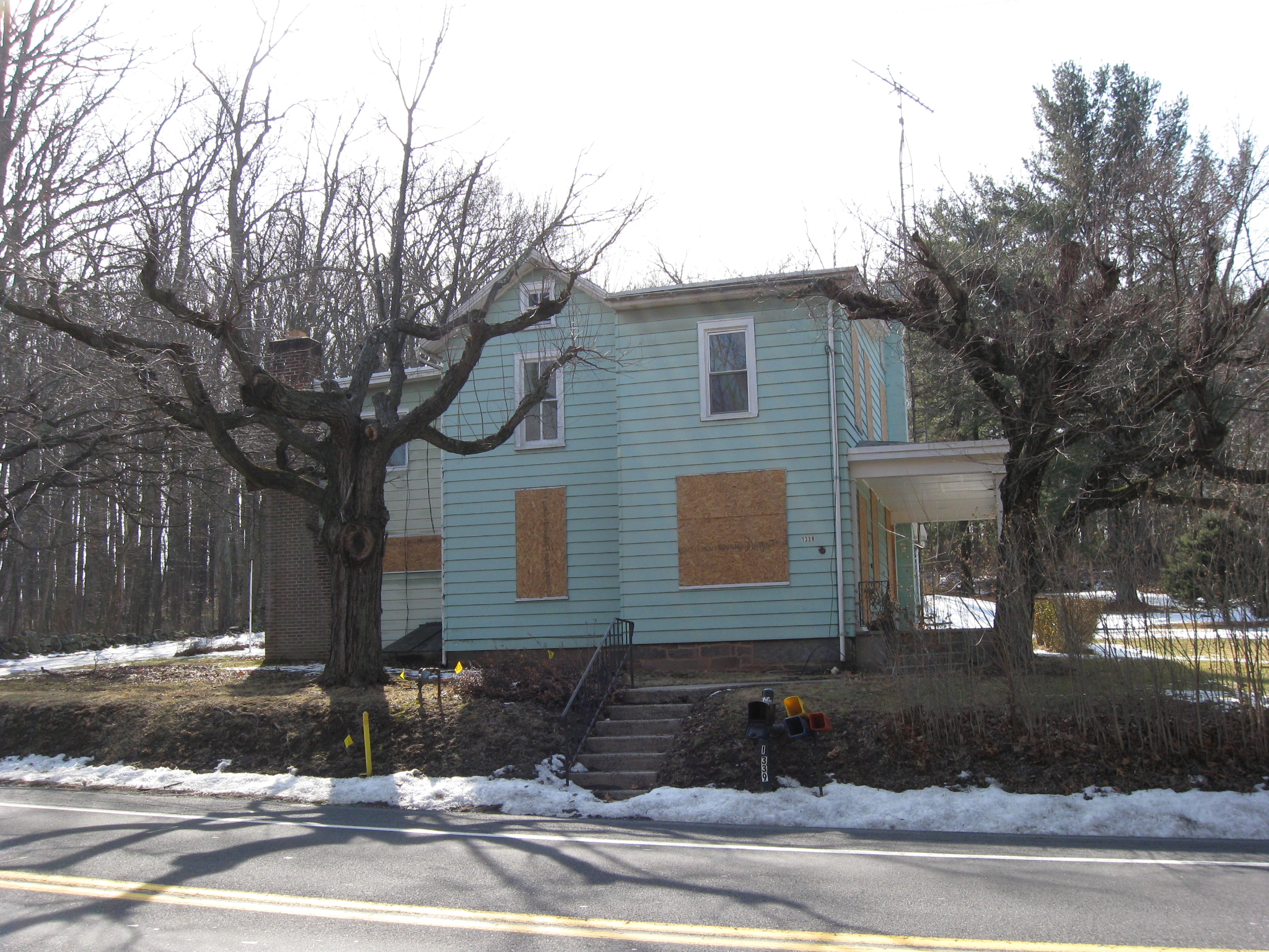
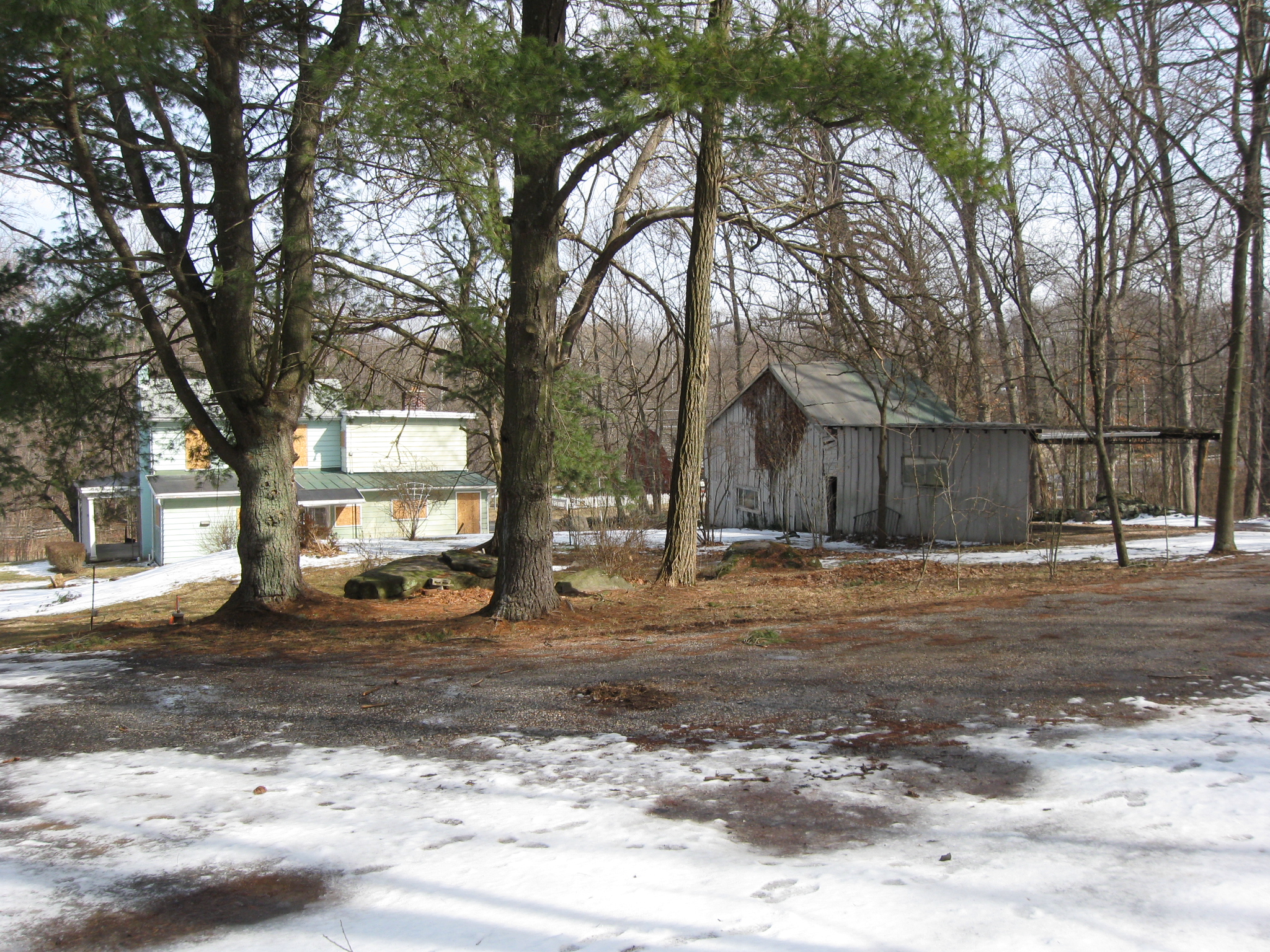
The property is more than the green house. There are a few structures here. This view was taken facing south at approximately 1:15 PM on Saturday, February 26, 2011.
The $75,000 was raised and the Civil War Preservation Trust purchased the property for $310,000. This view was taken facing southeast at approximately 1:15 PM on Saturday, February 26, 2011.
The Trust will then sell it to the National Park Service for $235,000. This view was taken facing east at approximately 1:15 PM on Saturday, February 26, 2011.
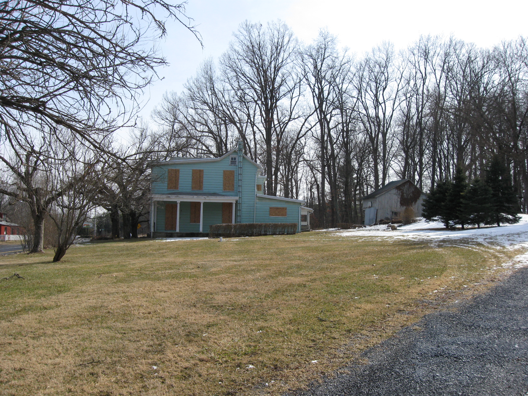
McAllister’s Hill is in the right background. This view was taken facing northeast at approximately 1:15 PM on Saturday, February 26, 2011.
The structures here should be removed. This view was taken facing northeast at approximately 1:15 PM on Saturday, February 26, 2011.
The newly acquired property… This view was taken facing north at approximately 1:15 PM on Saturday, February 26, 2011.
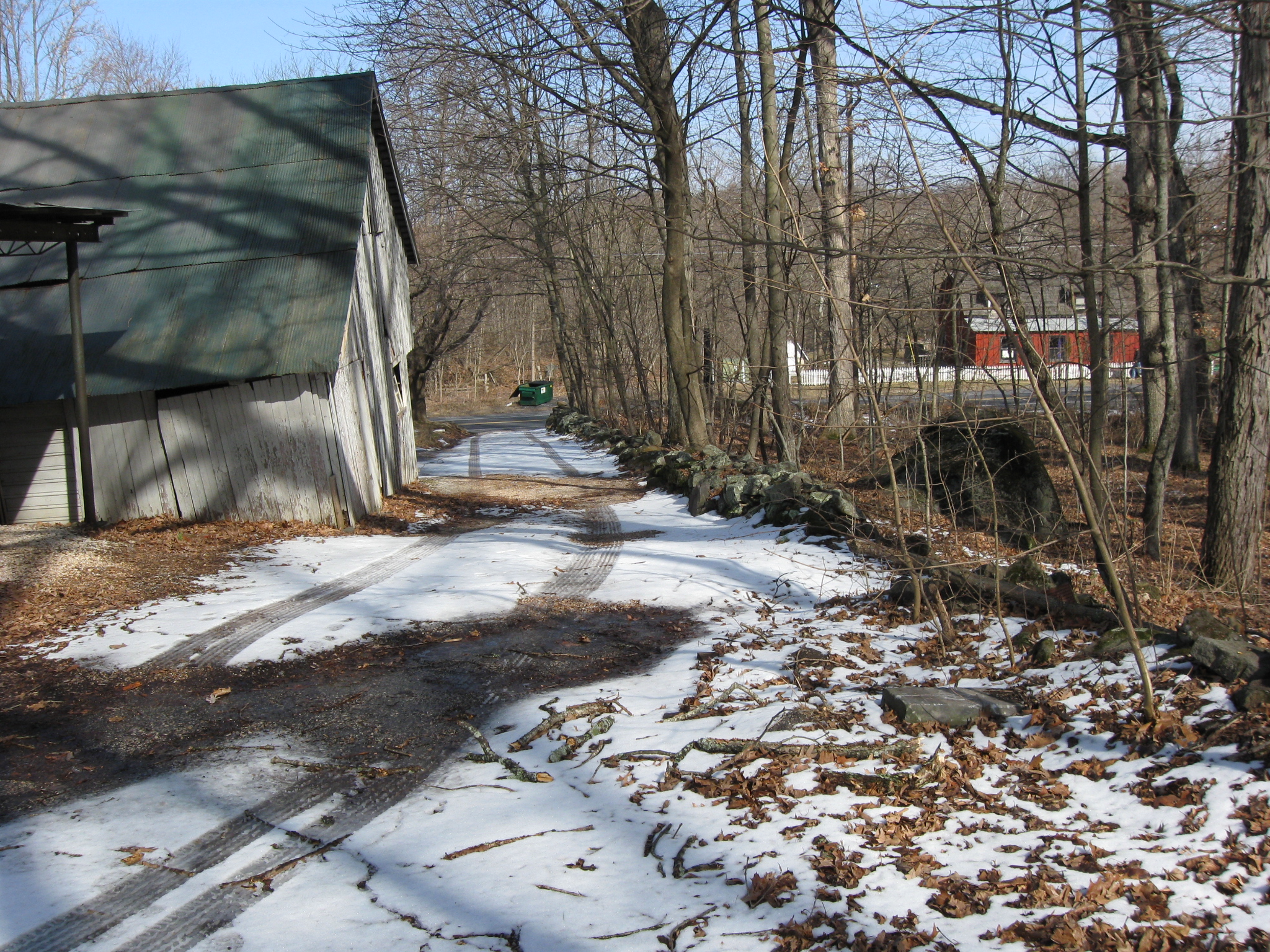
… has a driveway on the south end of the land. The stone wall on the right separated the newly acquired property, from National Park Service property on the other (right) side of the wall. The red building is a MacDuffer’s Miniature Golf. This view was taken facing northeast at approximately 1:15 PM on Saturday, February 26, 2011.
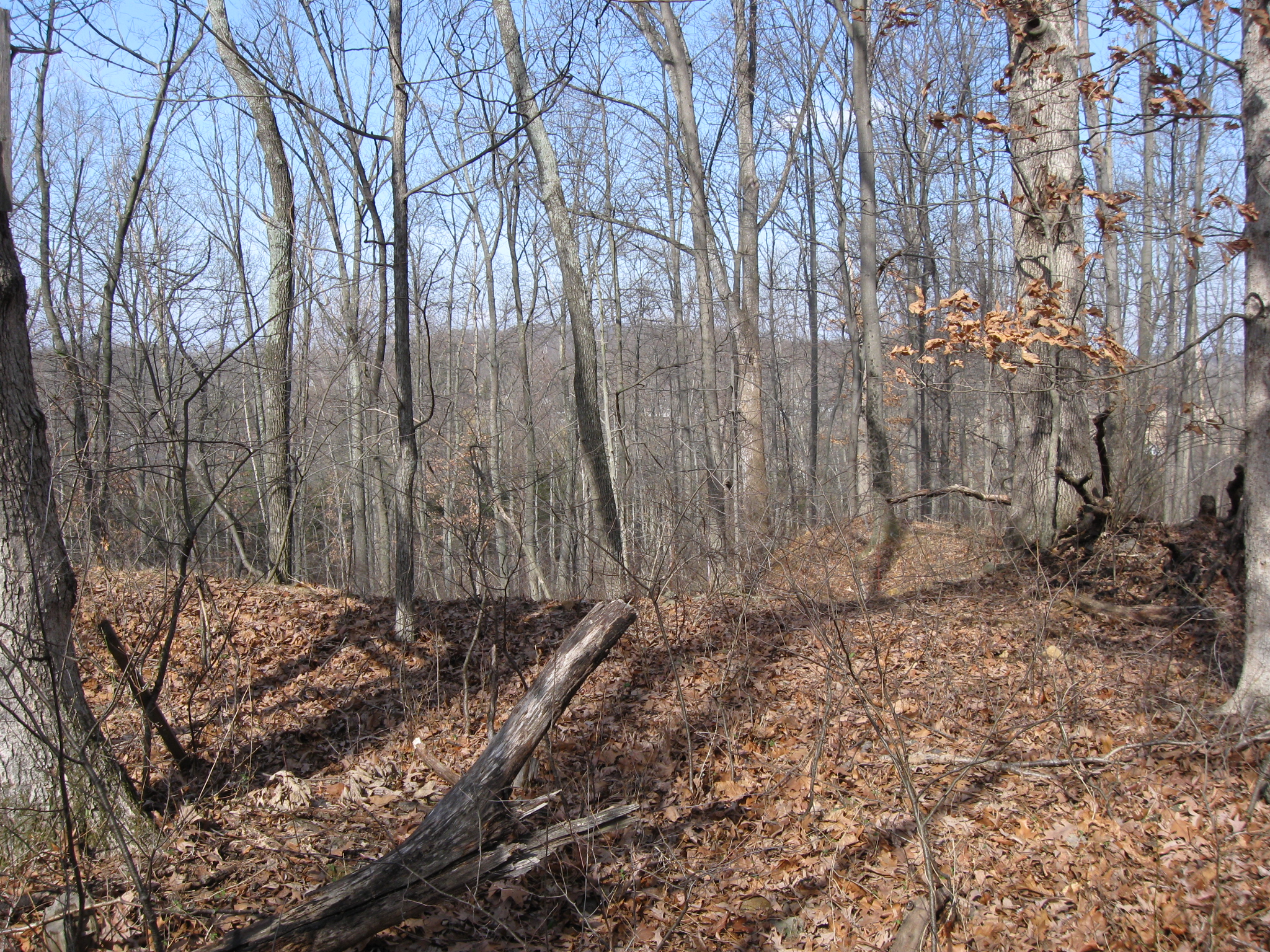
The wall goes to the top of Powers Hill, and we’ll be moving up the hill in just a little while. This view was taken facing southwest at approximately 1:15 PM on Saturday, February 26, 2011.
As we move up the hill, we’ll take a look back so you can see other structures. This view was taken facing northeast at approximately 1:15 PM on Saturday, February 26, 2011.
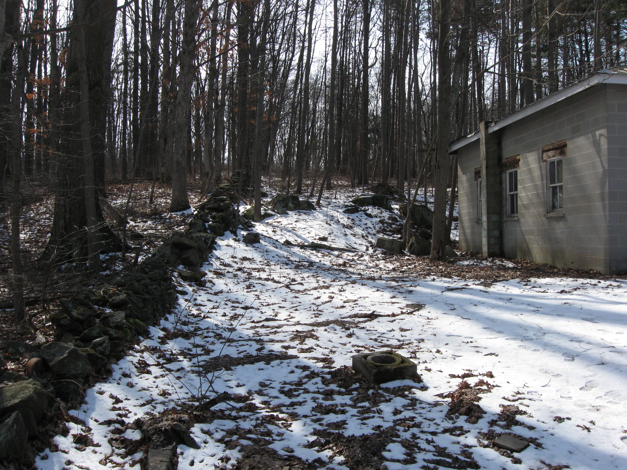
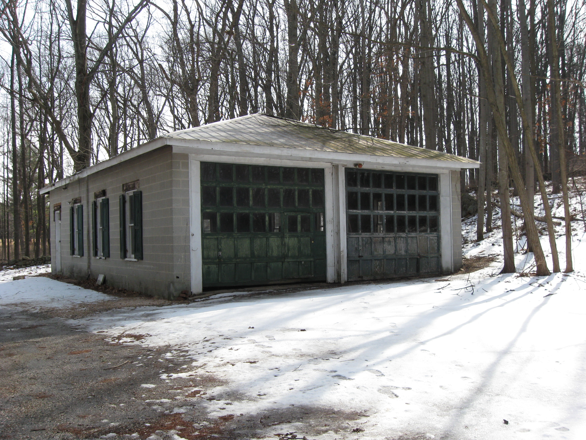
Here’s a good size garage. This view was taken facing southeast at approximately 1:15 PM on Saturday, February 26, 2011.
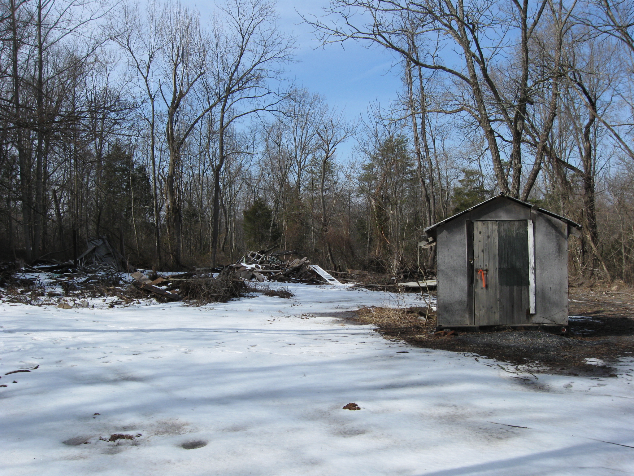
This small shed… This view was taken facing northwest at approximately 1:15 PM on Saturday, February 26, 2011.
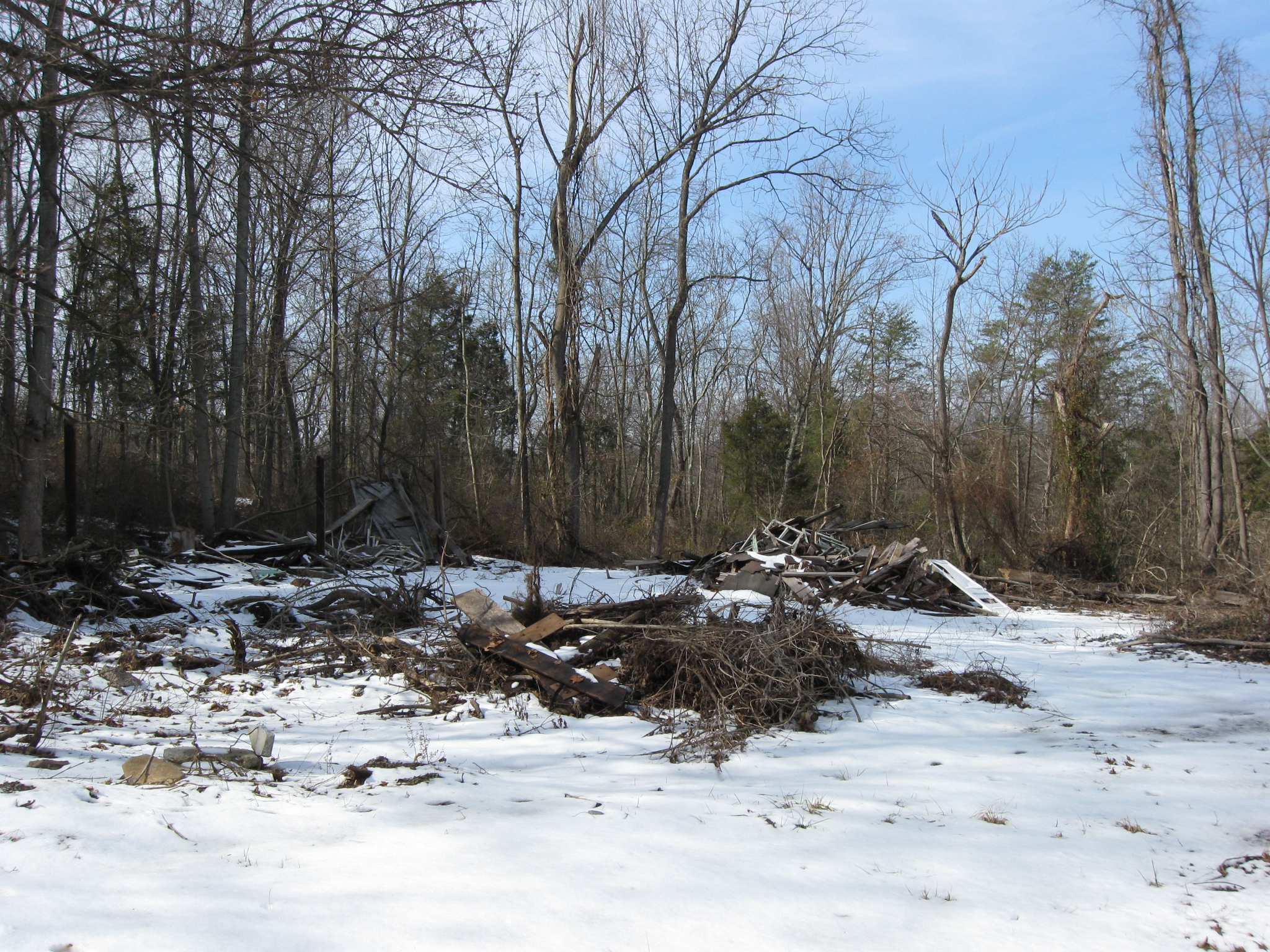
…has some piles of junk behind it. This view was taken facing northwest at approximately 1:15 PM on Saturday, February 26, 2011.
We’re taking this road to the top. This view was taken facing east at approximately 1:15 PM on Saturday, February 26, 2011.
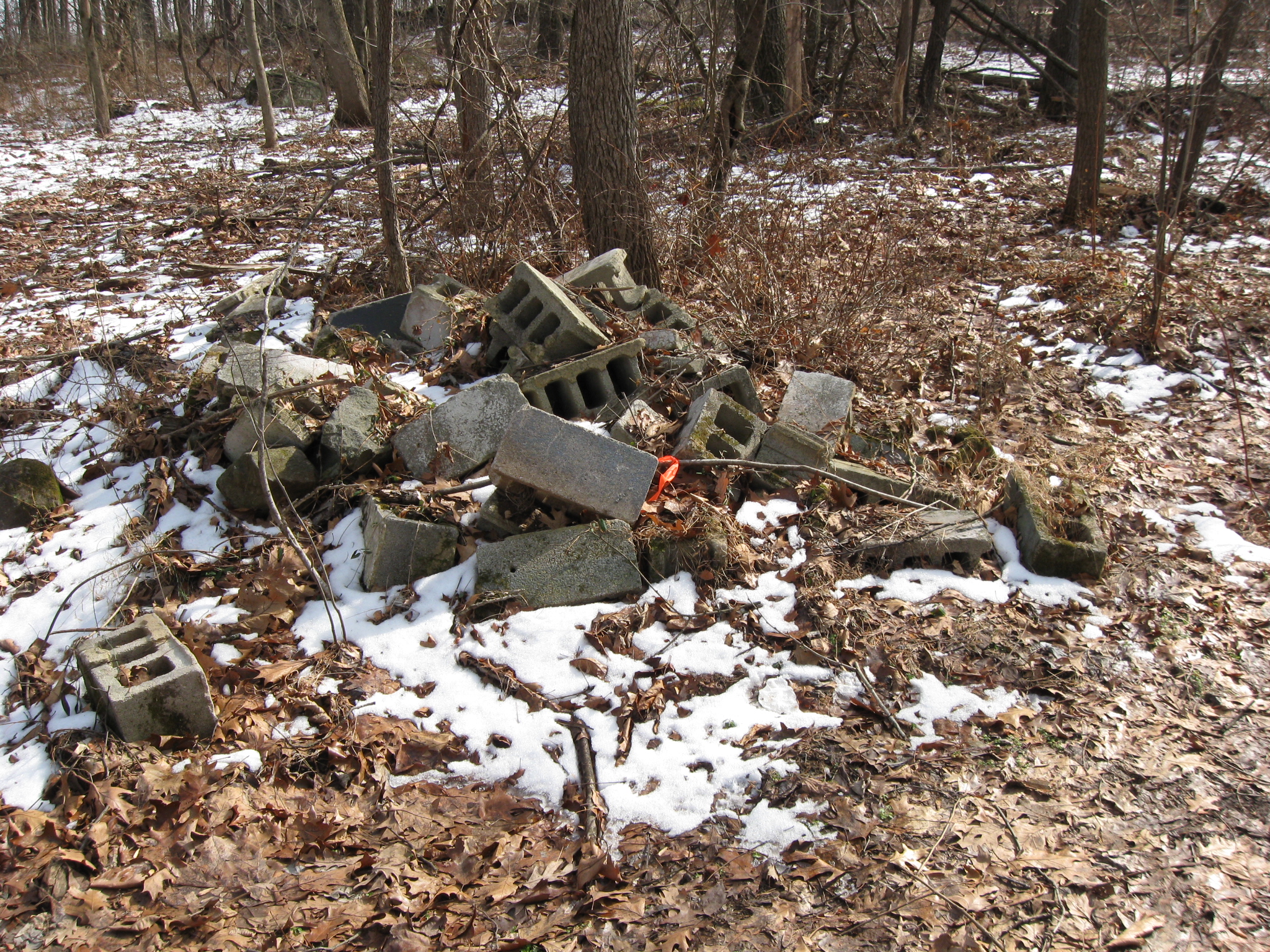
On the way up we pass other piles of blocks… This view was taken facing northeast at approximately 1:15 PM on Saturday, February 26, 2011.
… on both sides of the road. This view was taken facing south at approximately 1:15 PM on Saturday, February 26, 2011.
When the trees are removed, it will be easier to tell what a great artillery position this was during the battle. In fact, there is a white “blotch” in the middle of this photograph. That is the white barn at the Welcome Traveller location on the Baltimore Pike. In the background, above the white barn/blotch are trees on Culp’s Hill. This view was taken facing northeat at approximately 1:15 PM on Saturday, February 26, 2011.
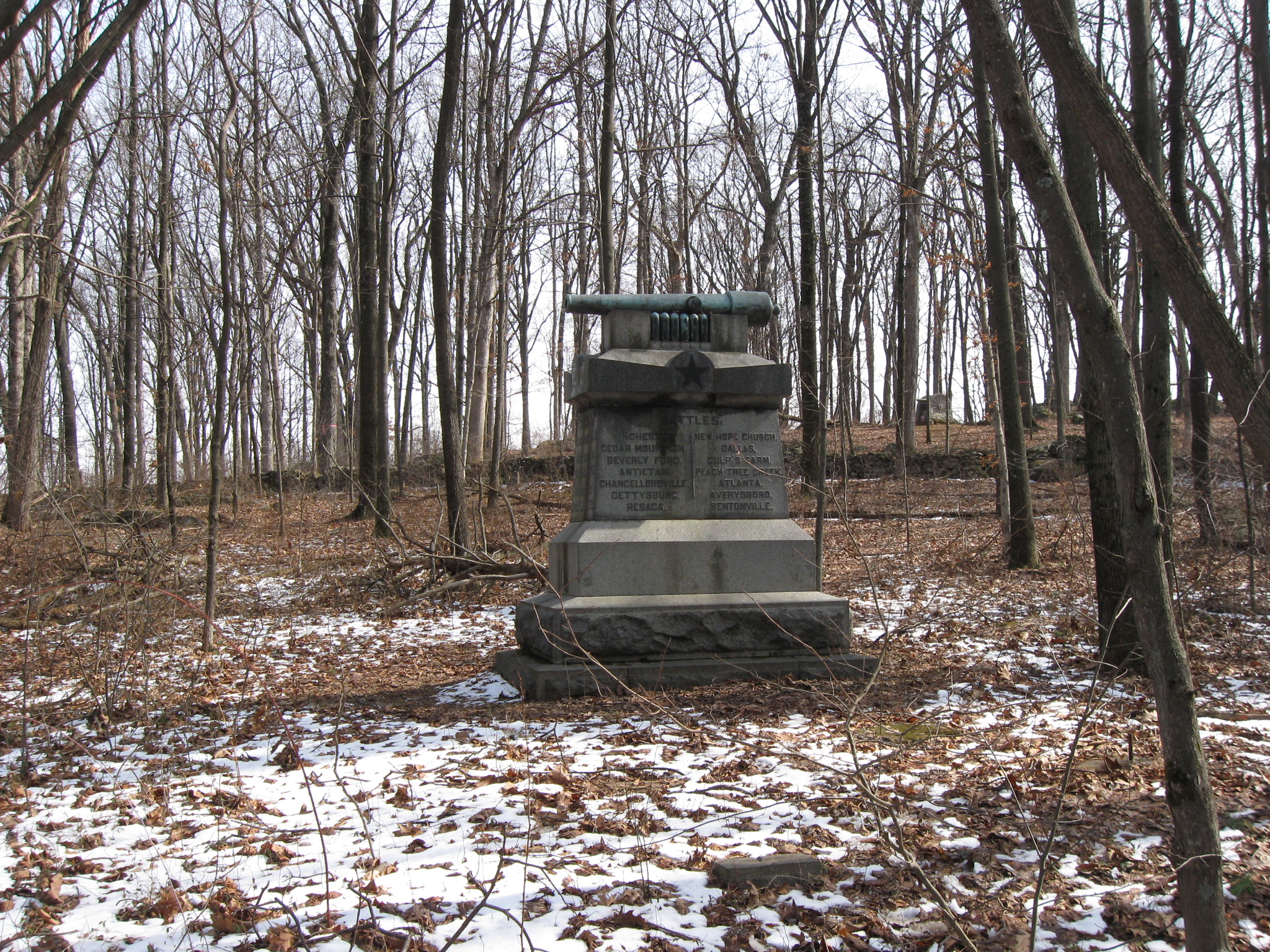
The monument to Winegar’s Battery M 1st New York Artillery. In the right background is the monument to Knap’s Pennsylvania Battery. Between them is the stone wall separating newly acquired property (where we are) from National Park Service property on the other (Knap’s) side of the wall. Just to the left of Battery M’s monument, near the stone wall, is the right flank marker for this battery. This view was taken facing southwest at approximately 1:15 PM on Saturday, February 26, 2011.
Right here. Again, National Park Service property on left side of the wall, newly acquired property on this side of the wall. This view was taken facing southwest at approximately 1:15 PM on Saturday, February 26, 2011.
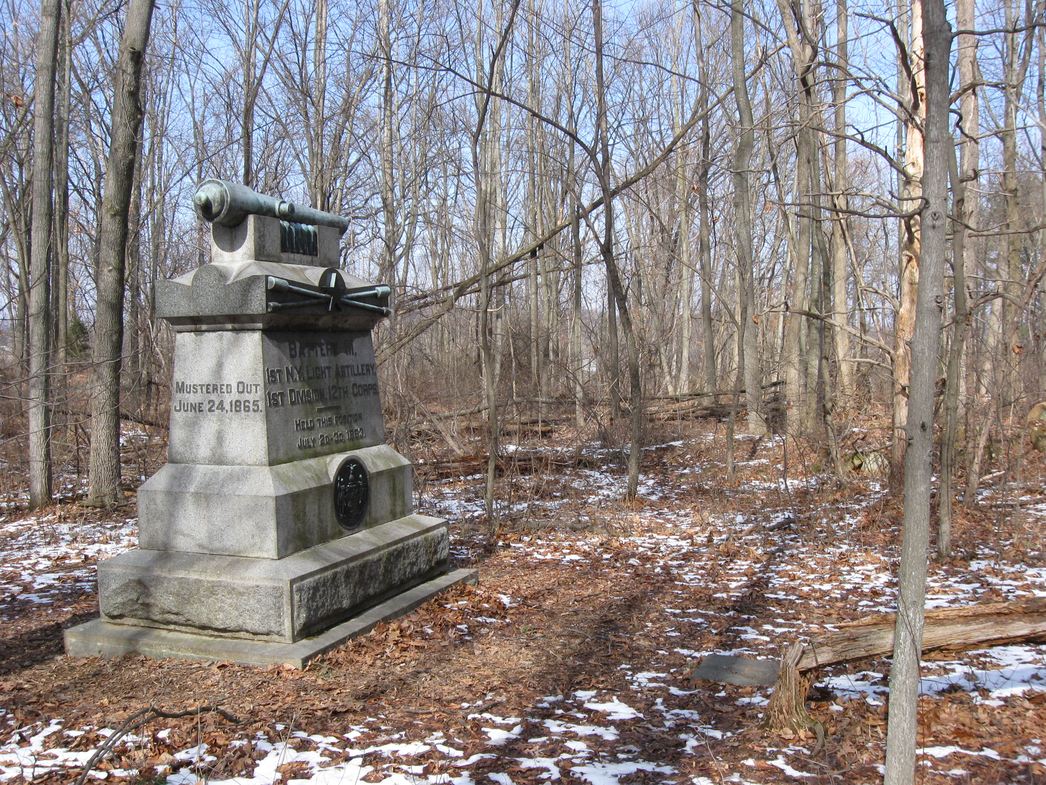
Winegar’s Battery sent a section to McAllister’s Hill, and the other section on Powers Hill was actually 100 yards closer to Culp’s Hill (barely seen in the background through the trees) on this newly acquired property. This view was taken facing northeast at approximately 1:15 PM on Saturday, February 26, 2011.
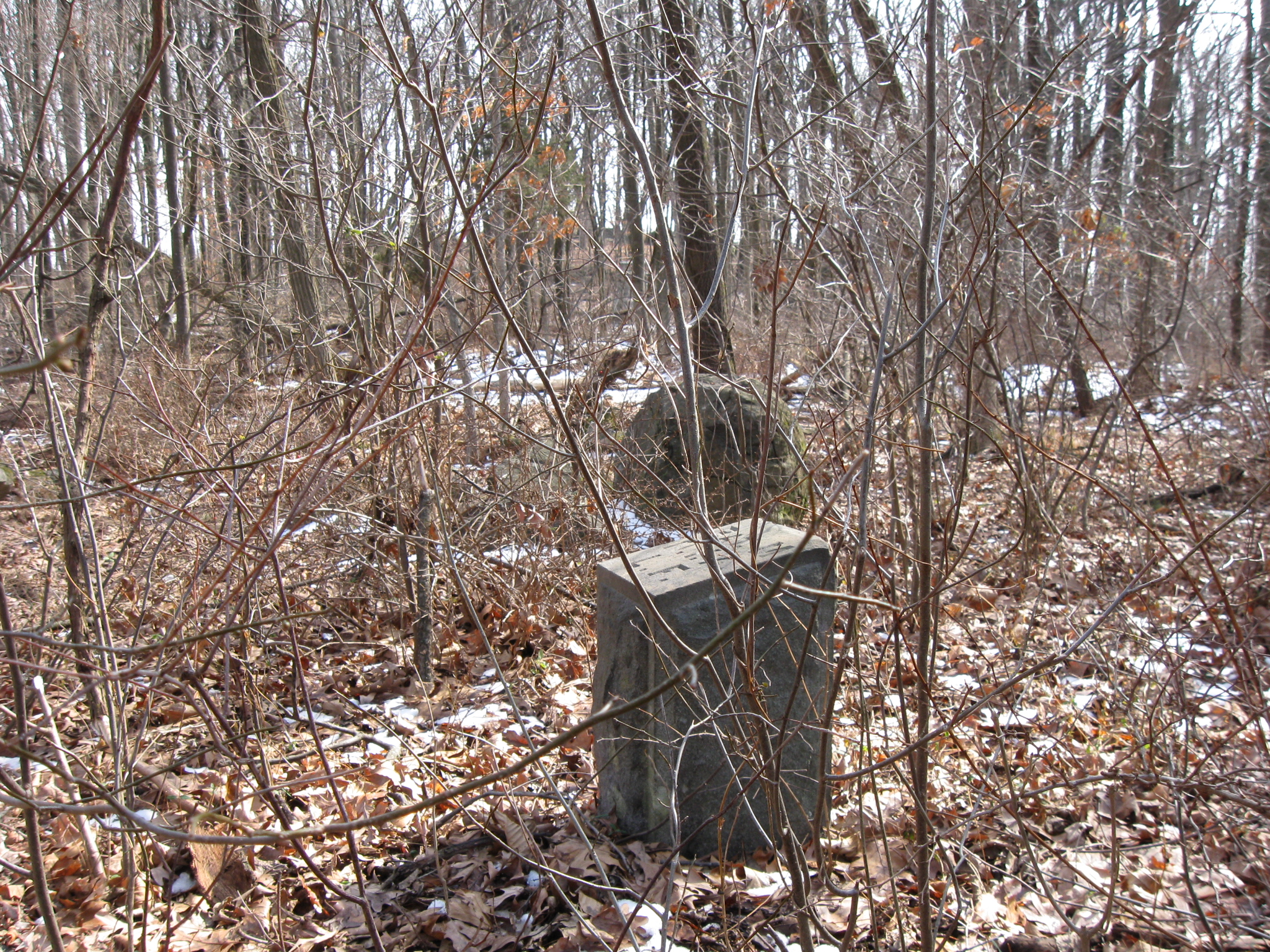
Here’s the left flank marker for Winegar’s Battery M. It is approximately 40 yards from the monument, which is barely visible above the marker through the trees and underbrush. This view was taken facing southwest at approximately 1:15 PM on Saturday, February 26, 2011.
Near the left flank marker the ground rises (Culp’s Hill in the background)… This view was taken facing northeast at approximately 1:15 PM on Saturday, February 26, 2011.
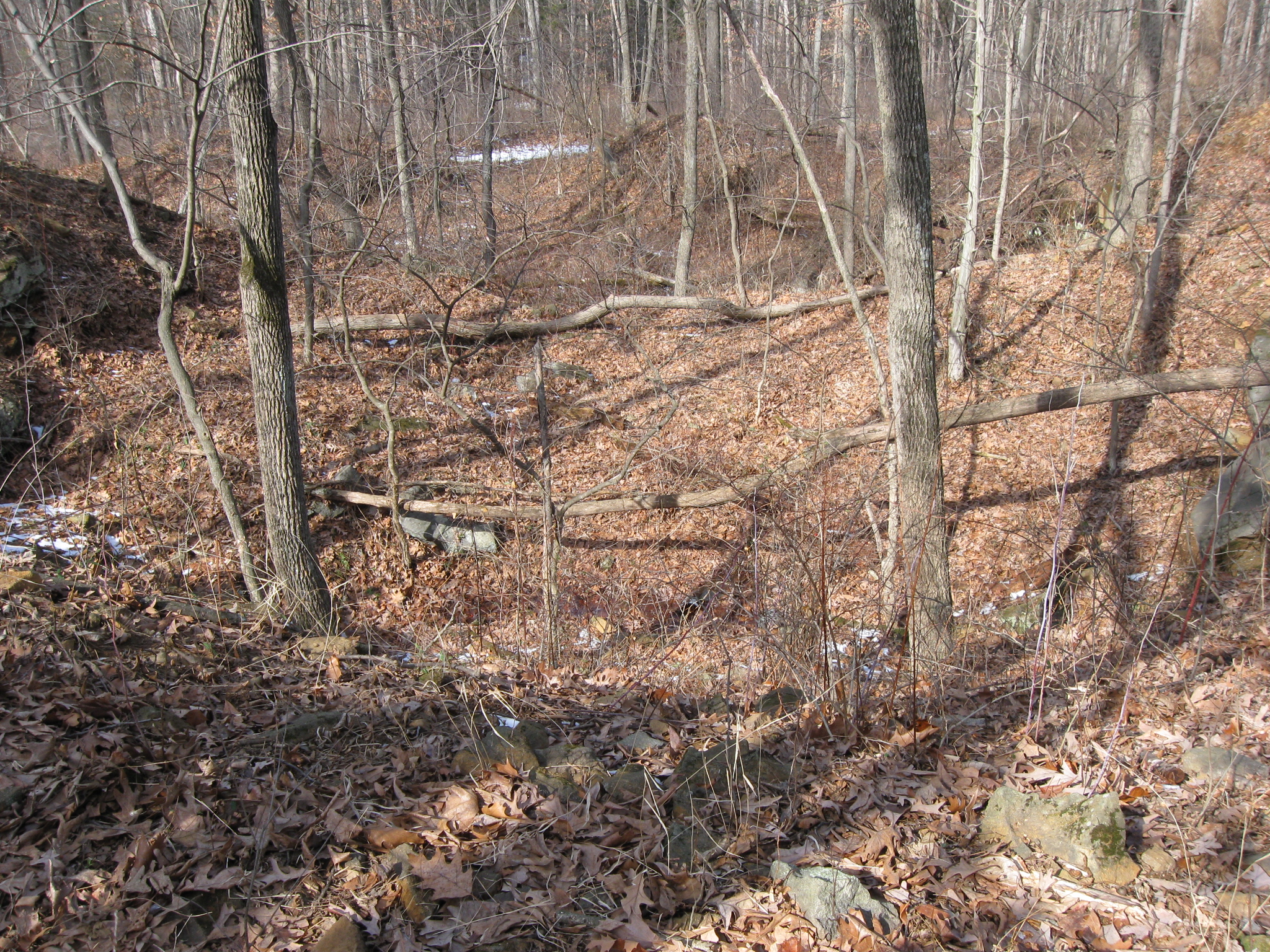
…and suddenly drops off into large areas that have been excavated/quarried. This view was taken facing northeast at approximately 1:15 PM on Saturday, February 26, 2011.
Evidence of quarried rocks are still present on Powers Hill. This view was taken facing east at approximately 1:15 PM on Saturday, February 26, 2011.
After all, Solomon Powers was listed on the 1860 federal population census as a “Granite Cutter” born in New Hampshire. This view was taken facing west at approximately 1:15 PM on Saturday, February 26, 2011.
The 1860 census shows he owned $2100 worth of property. This view was taken facing southwest at approximately 1:15 PM on Saturday, February 26, 2011.