John Wilkes Booth’s Escape #8 With Gettysburg LBG Mike Kanazawich
April 30, 2012
John Wilkes Booth was killed in the Richard Garrett tobacco barn on April 26, 1865. This image is from Lafayette C. Baker’s The United States Secret Service in the Late War. Rockford, IL: Rockford Publishing Co., 1889. It is courtesy of ushistoryimages.com.
Gettysburg Licensed Battlefield Guide Michael Kanazawich is the host for this series on John Wilkes Booth’s Escape. Mike was born and raised in Oneonta, New York. He received his Bachelor of Science degree in Geology from Oneonta State University. He received his Master of Science degree in Environmental Geology from the University of Connecticut. Mike worked as a Geologist for eleven years before becoming a Gettysburg Licensed Battlefield Guide in 1995. Michael Kanazawich is the author of the book Remarkable Stories of the Lincoln Assassination.
To contact Gettysburg Licensed Battlefield Guide Mike Kanazawich, and/or to inquire about his Gettysburg National Military Park Tours and his Lincoln Assassination/John Wilkes Booth Escape Tours, click here.
In the first post, Gettysburg Licensed Battlefield Guide Mike Kanazawich explained the actions of John Wilkes Booth and David Herold at Surratt’s Tavern in what is now Clinton, Maryland. He filmed these segments on February 12, 2012, the 203rd birthday of President Abraham Lincoln.
In the second post, Gettysburg Licensed Battlefield Guide Mike Kanazawich shows the residence of Dr. Samuel Mudd, the Bryantown Tavern, and Mudd’s grave at St. Mary’s Catholic Church.
In the third post, Gettysburg Licensed Battlefield Guide Mike Kanazawich shows the location of Red Hill, the home of Samuel Cox, and the Pine Thicket where Booth and Herold stayed from April 16-21, 1865.
In the fourth post, Gettysburg Licensed Battlefield Guide Mike Kanazawich showed the location of Huckleberry, the home of Thomas A. Jones, and the area near the Potomac River where John Wilkes Booth and David Herold attempted to cross on April 21, 1865.
In the fifth post, Gettysburg Licensed Battlefield Guide Mike Kanazawich shows the location on the Virginia side of the Potomac River where John Wilkes Booth and David Herold met Elizabeth Quesenberry and Thomas Harbin.
In the sixth post, Gettysburg Licensed Battlefield Guide Mike Kanazawich showed the location of Cleydael, the home of Dr. Richard Stuart in King George County, Virginia, and where Booth and Herold crossed the Rappahannock at Port Conway and Port Royal, Virginia.
In the seventh post, Gettysburg Licensed Battlefield Guide Mike Kanazawich shows the location of the Randolph Peyton House in Port Royal, Virginia. John Wilkes Booth and David Herold stopped here on April 24, 1865.
In today’s post, Gettysburg Licensed Battlefield Guide Mike Kanazawich finishes his series on the escape of John Wilkes Booth. He shows the location of the Richard Garrett Farm where Booth was shot on April 26, 1865.
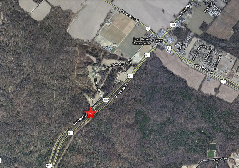
This map shows us the locations taken of videos for the John Wilkes Booth’s Escape series. Videos #1-#17 were shown in our previous posts. Videos #11-#12 were taken along Machodoc Creek at Dahlgren, King George County, Virginia. Video #13 was taken at Cleydael in King George County, Virginia. Video #14 was taken in Port Royal, Virginia along the Rappahannock River. Videos #15-#17 were taken at the home of Randolph Peyton in Port Royal, Virginia. Videos #18-#20 were taken at the site of the Richard Garrett Farm. This map was created facing north at approximately 3:00 PM on Saturday, April 7, 2012.
Videos #18-#20 were taken at the site of the Richard Garrett Farm.This view was taken facing north at approximately 3:00 PM on Saturday, April 7, 2012.
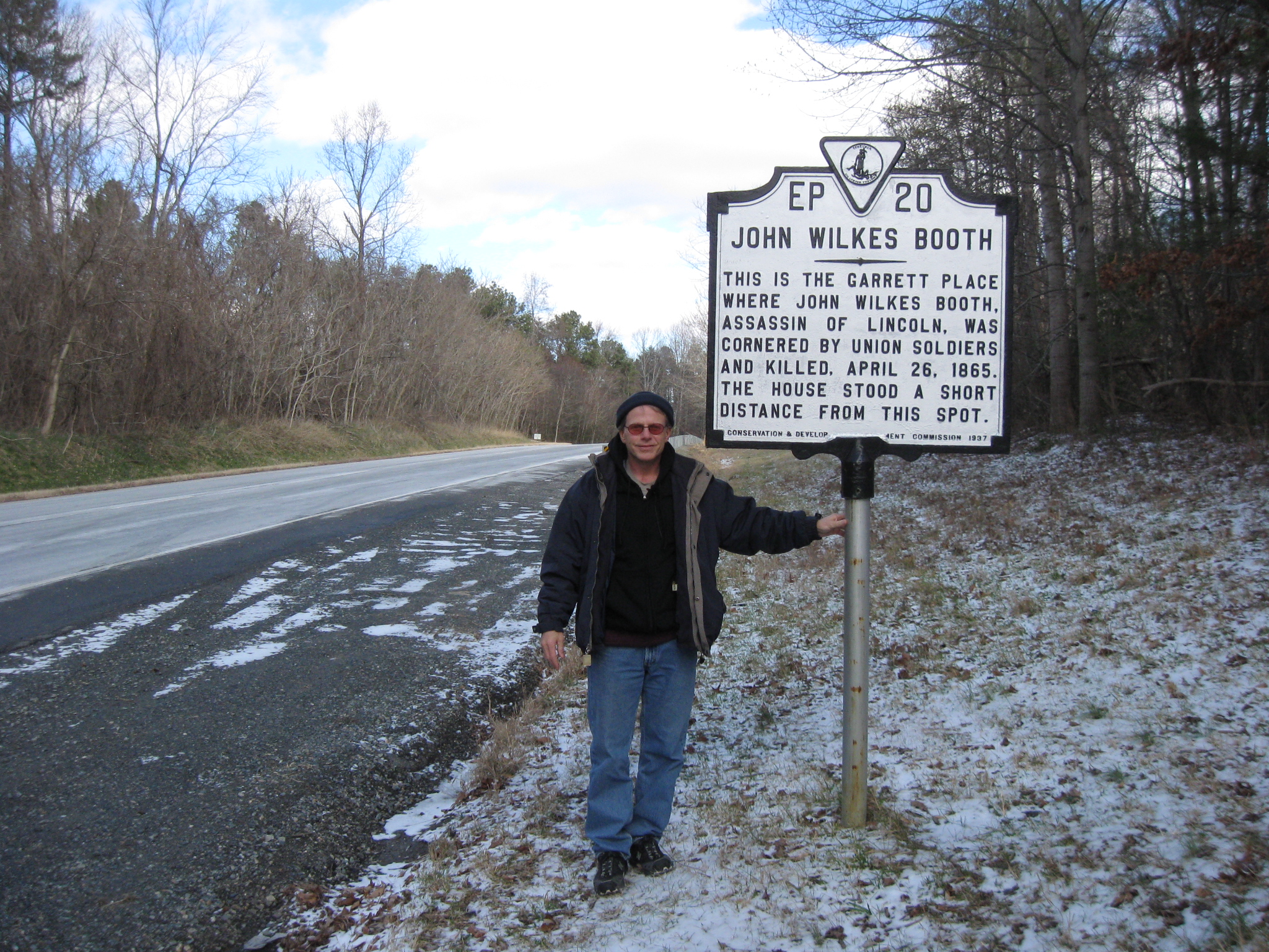
Gettysburg Licensed Battlefield Guide Mike Kanazawich is the host for this series on the Escape of John Wilkes Booth. He is standing by the Virginia historic marker on the north bound lane of US Highway 301. The site of the Richard Garrett house and tobacco barn were on the left side, in the wooded median between the north and south bound lanes. This view was taken facing north at approximately 1:30 PM on Sunday, February 12, 2012.
In Video #18 (Videos #1-#17 were shown in our previous posts) Gettysburg Licensed Battlefield Guide Michael Kanazawich is at the site of the Richard Garrett House in the median between US Highway 301. He shows the marker for the southeast corner of the Garrett House, and explains how Booth and Herold learned that the cavalry were approaching this location. This view was taken facing southwest to northwest at approximately 1:30 PM on Sunday, February 12, 2012.
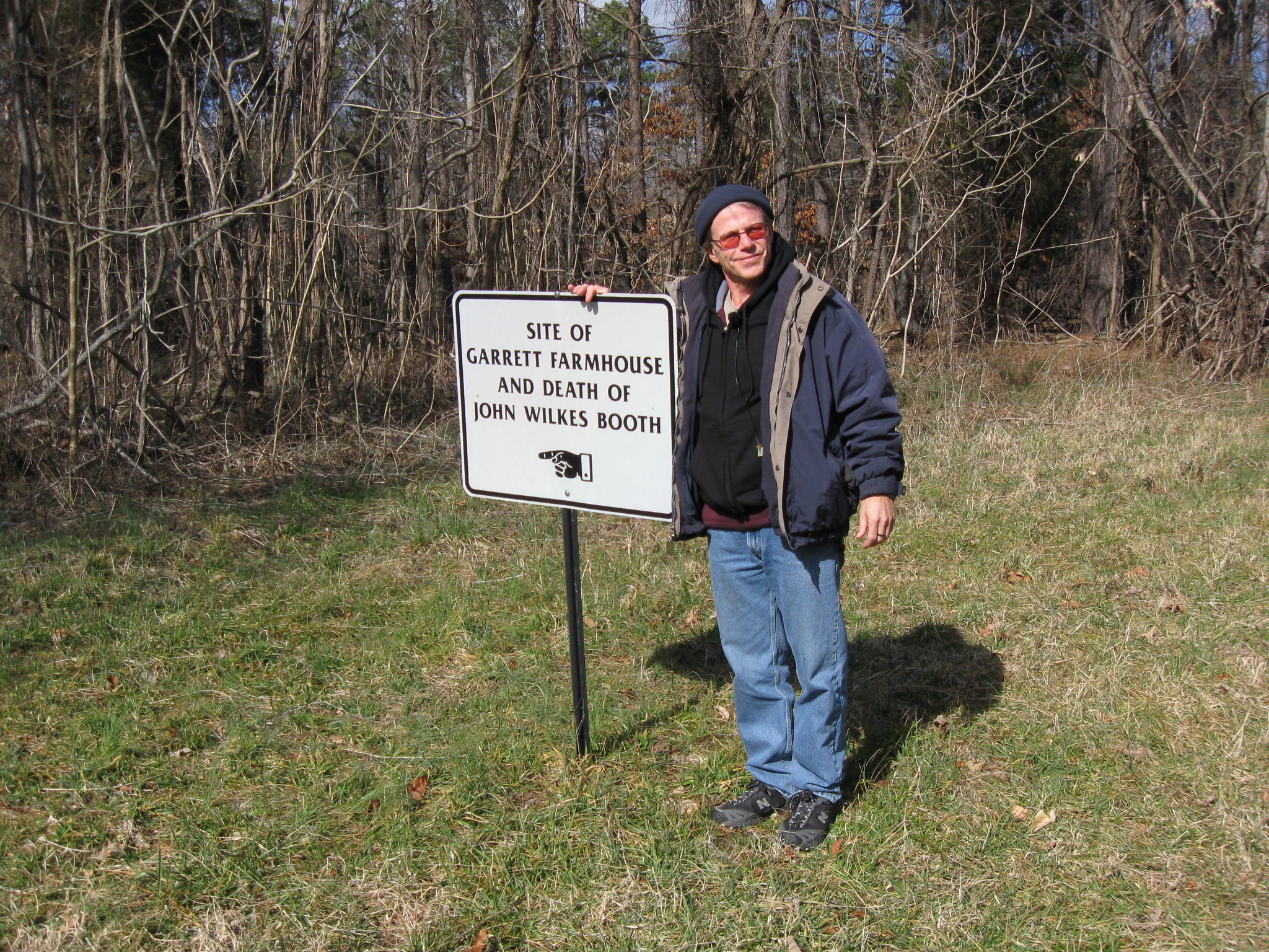
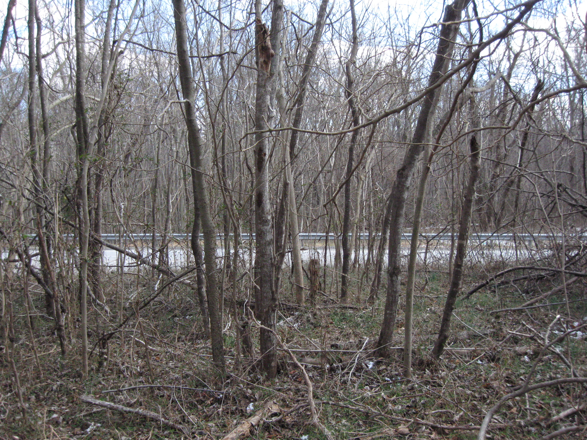
On this west side of the north bound lane of US Highway 301 is this sign leading us to a trail that goes into the woods in the median. This view was taken facing northwest at approximately 1:30 PM on Sunday, February 12, 2012.
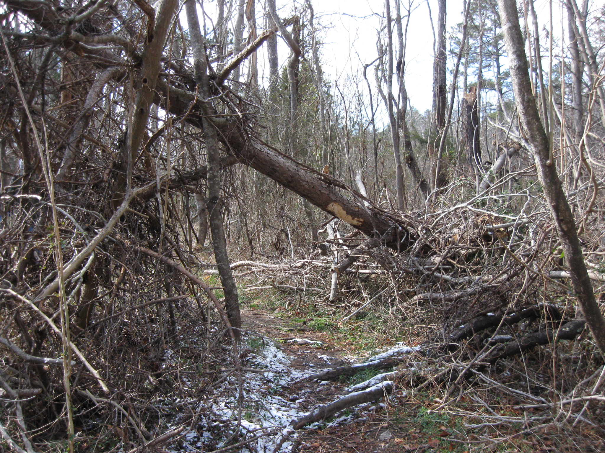
Part of the trail leading us into the wooded median. This area is only accessible from the northbound lanes of US Highway 301. This view was taken facing west at approximately 1:30 PM on Sunday, February 12, 2012.
A warning to not disturb the area that now has two lanes running north and two lanes running south through the Garrett Farm property. This view was taken facing west at approximately 1:30 PM on Sunday, February 12, 2012.
Licensed Battlefield Guide Mike Kanazawich is kneeling by the PVC pipe that might mark the southeast corner of the Garrett House. This view was taken facing northwest at approximately 1:30 PM on Sunday, February 12, 2012.
In Video #19 Licensed Battlefield Guide Mike Kanazawich is standing by the site of the Garrett farm house. He explains how John Wilkes Booth and David Herold spend the night in the tobacco barn. Willie Jett lead the Union Cavalry to the Garrett Farm.This view was taken facing northwest at approximately 1:30 PM on Sunday, February 12, 2012.
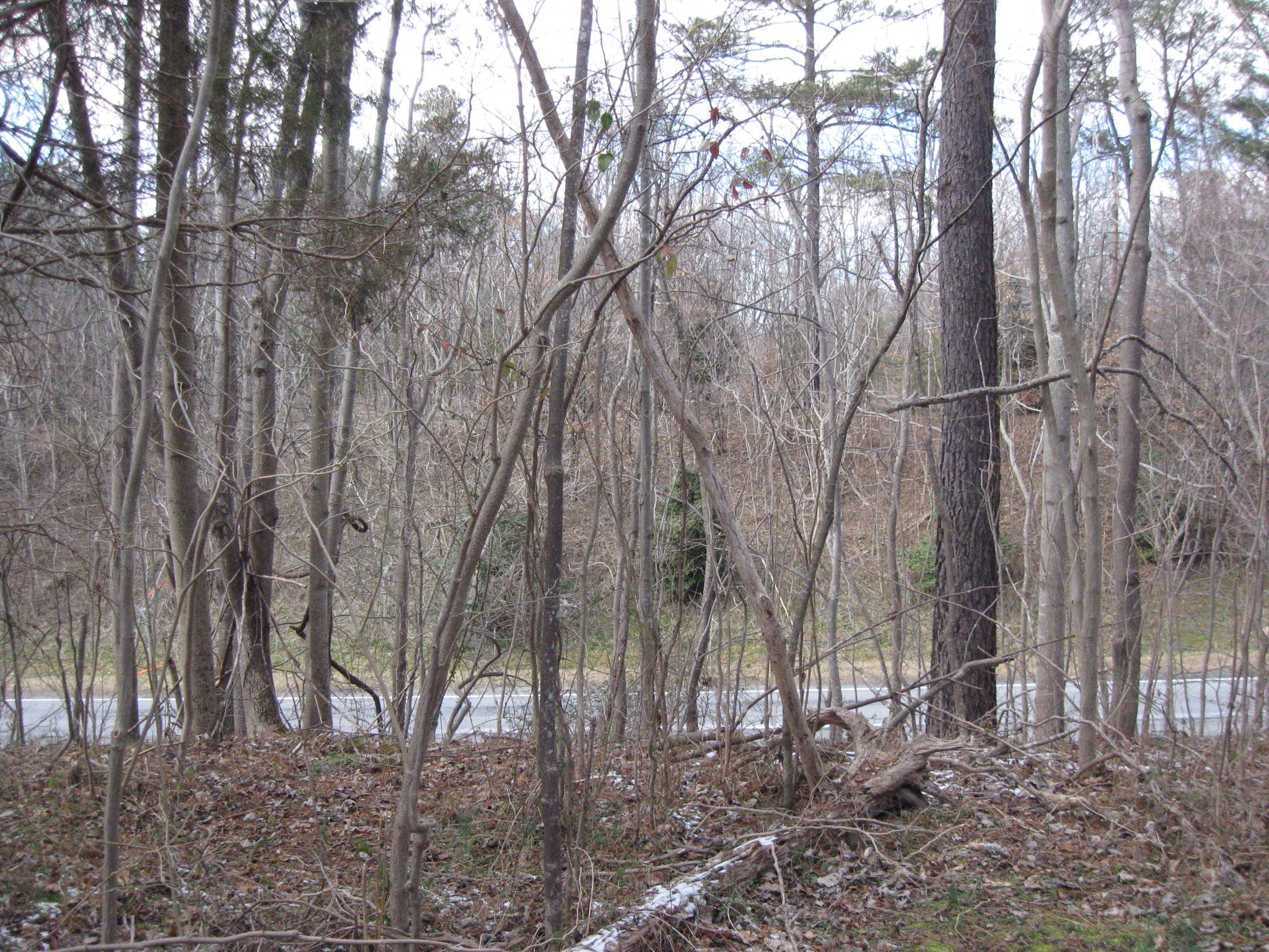
The cameraman is standing at the Garrett House site. The road below is the north bound lanes of US Highway 301. This view was taken facing southeast at approximately 1:30 PM on Sunday, February 12, 2012.
The cameraman is standing at the Garrett House site. The road below is the south bound lanes of US Highway 301. On the high ground on the other side of the lanes stood the Garrett tobacco barn. This view was taken facing northwest at approximately 1:30 PM on Sunday, February 12, 2012.
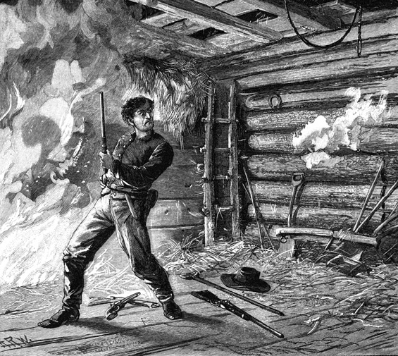
The white puffs of smoke on the right are from Sergeant Boston Corbett firing on John Wilkes Booth in Richard Garrett’s tobacco barn. This image is from Edward S. Ellis’ The Youth’s History of the United States. New York: The Cassell Publishing Comapany, 1887. It is courtesy of ushistoryimages.com.
In Video #20 Mike Kanazawich explains how John Wilkes Booth was mortally wounded by Sergeant Boston Corbett of the 16th New York Cavalry on April 26, 1865. This view was taken facing northwest to north at approximately 1:30 PM on Sunday, February 12, 2012.
After being mortally wounded by Sergeant Boston Corbett, John Wilkes Booth was placed on a mattress on the front porch of Richard Garrett’s house. Here he would die. This image is from Frazar Kirkland’s The Pictorial Book of Anecdotes and Incidents of the War of the Rebellion. Hartford, CT: Hartford Publishing Comapany, 1867. It is courtesy of ushistoryimages.com.
The autopsy of John Wilkes Booth was performed on April 27, 1865 at the Washington Navy Yard aboard the U.S.S. Montauk. This image is from Lafayette C. Baker’s The United States Secret Service in the Late War. Rockford, IL: Rockford Publishing Co., 1889. It is courtesy of ushistoryimages.com.
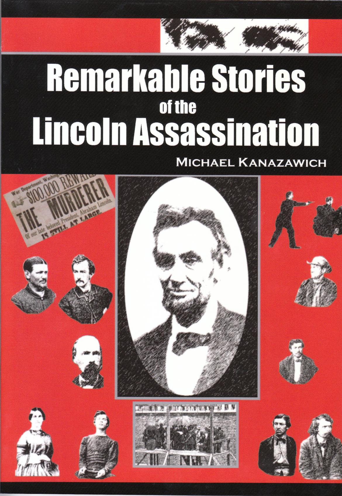
To order a copy of Gettysburg Licensed Battlefield Guide Mike Kanazawich’s book, Remarkable Stories of the Lincoln Assassination, click here. This book cover was scanned facing north at approximately 1:30 PM on Friday, March 9, 2012.
To see other posts by Gettysburg Licensed Battlefield Guides,click here.