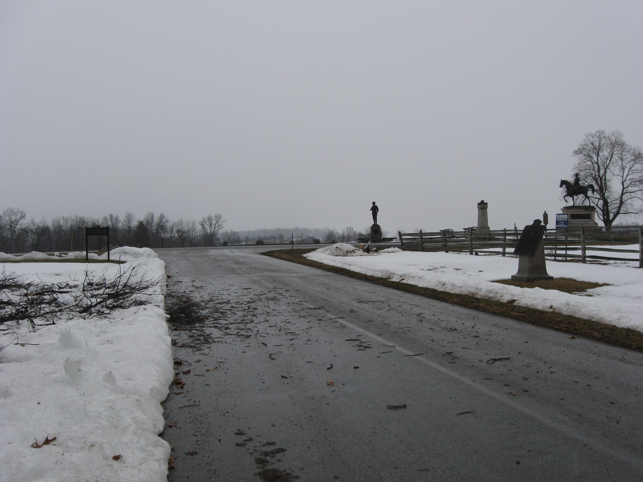
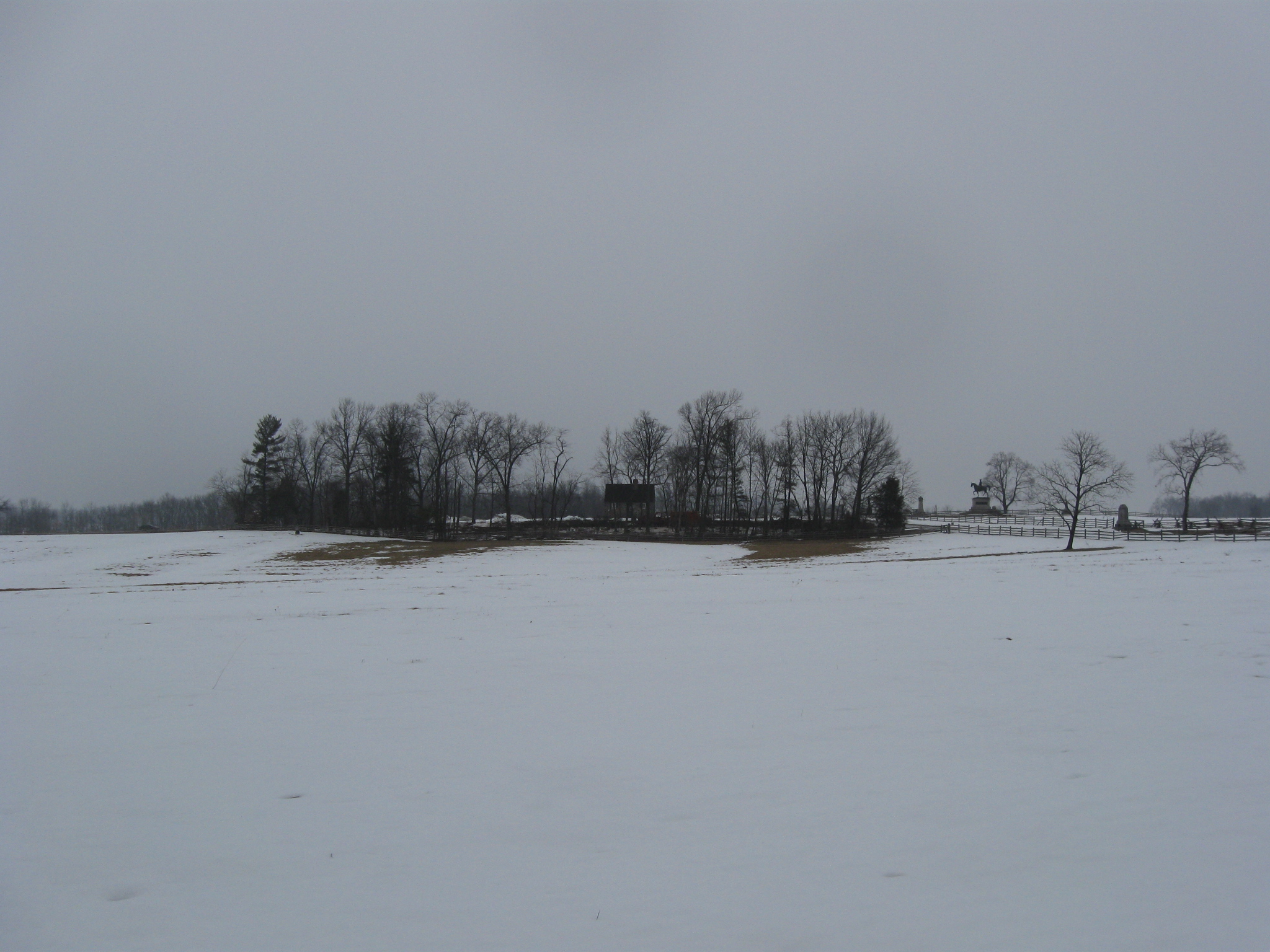
One of the best views to appreciate the amount of trees that have been removed from around the West End Guide Station is from the edge of McPherson’s/Reynolds’/Herbst’s Woods. We are positioned near the monument to the 7th Wisconsin Infantry Regiment. The equestrian statue to Major General John Reynolds is visible in the right background, as is the monuments to the 150th Pennsylvania Infantry Regiment (to the right of Reynolds), and Hall’s 2nd Maine Battery (to the left of Reynolds). This view was taken facing northeast at approximately 4:45 PM on Tuesday, March 2, 2010.
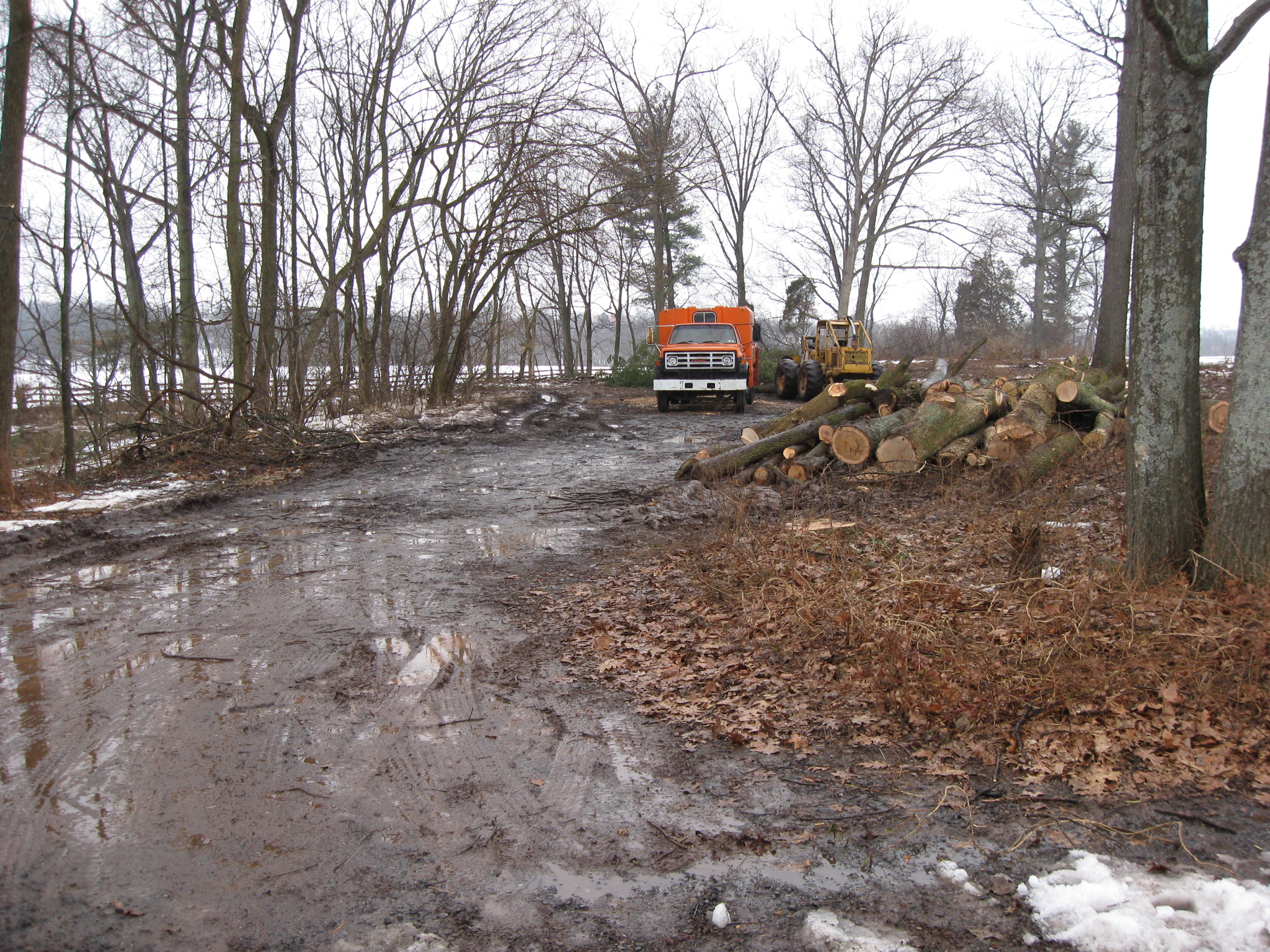
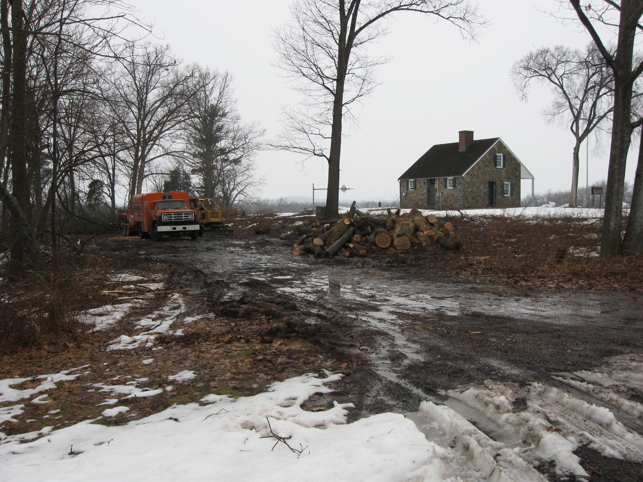
The National Park Service contractor continued removing the trees to the south of the West End Guide Station yesterday (March 2, 2010). The trees, which were not here at the time of the Battle of Gettysburg, cover an approximately half acre. A mixture of rain and snow began Tuesday afternoon, but the contractor made some significant progress before the inclement weather arrived.
See the following related posts:
West End Guide Station Tree Cutting Scheduled to Begin Today on March 1, 2010.
West End Guide Station Tree Cutting Day 1 on March 2, 2010.
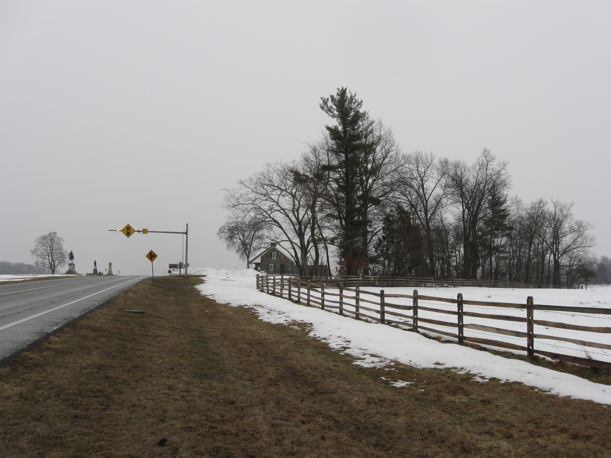
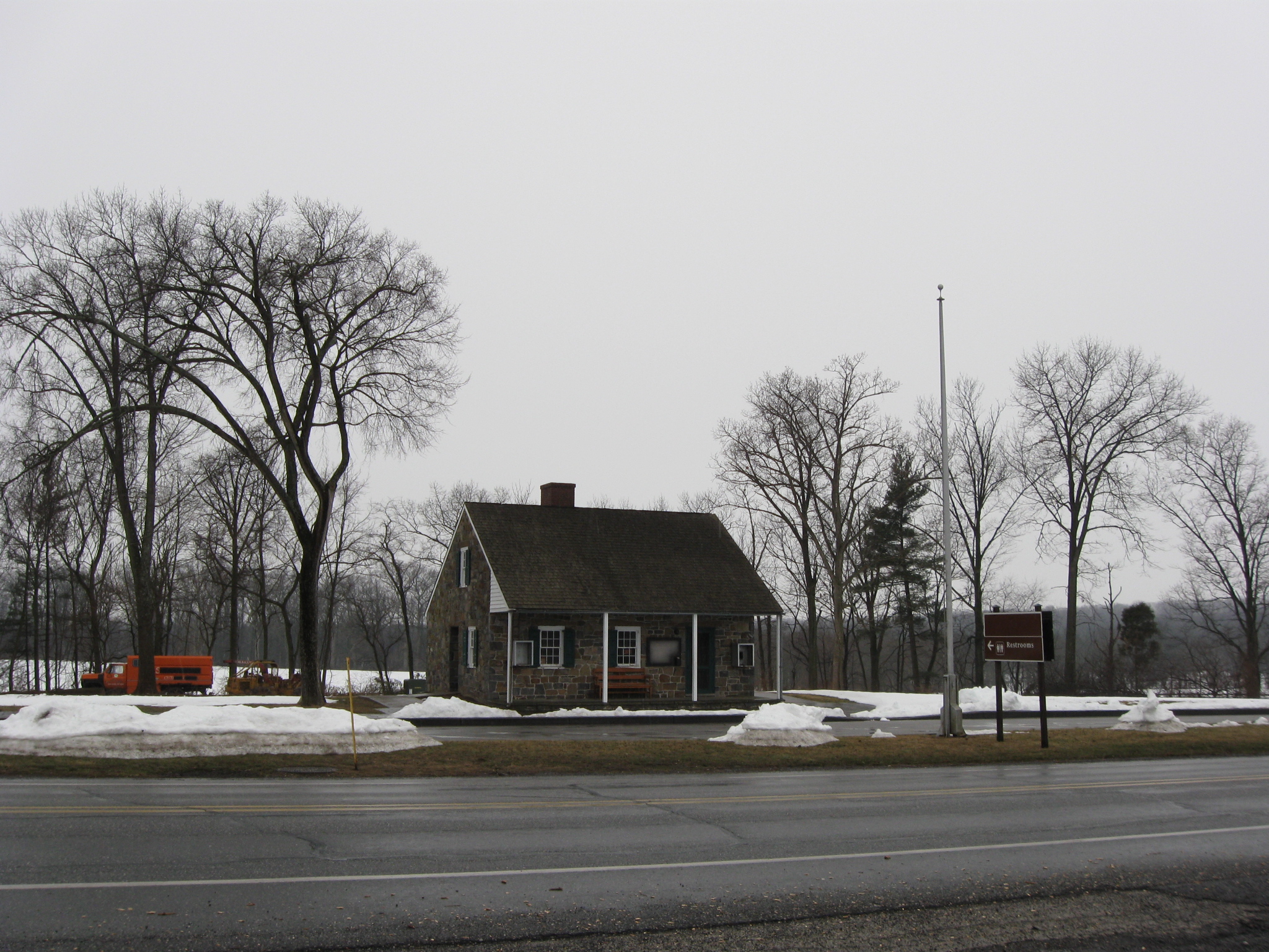
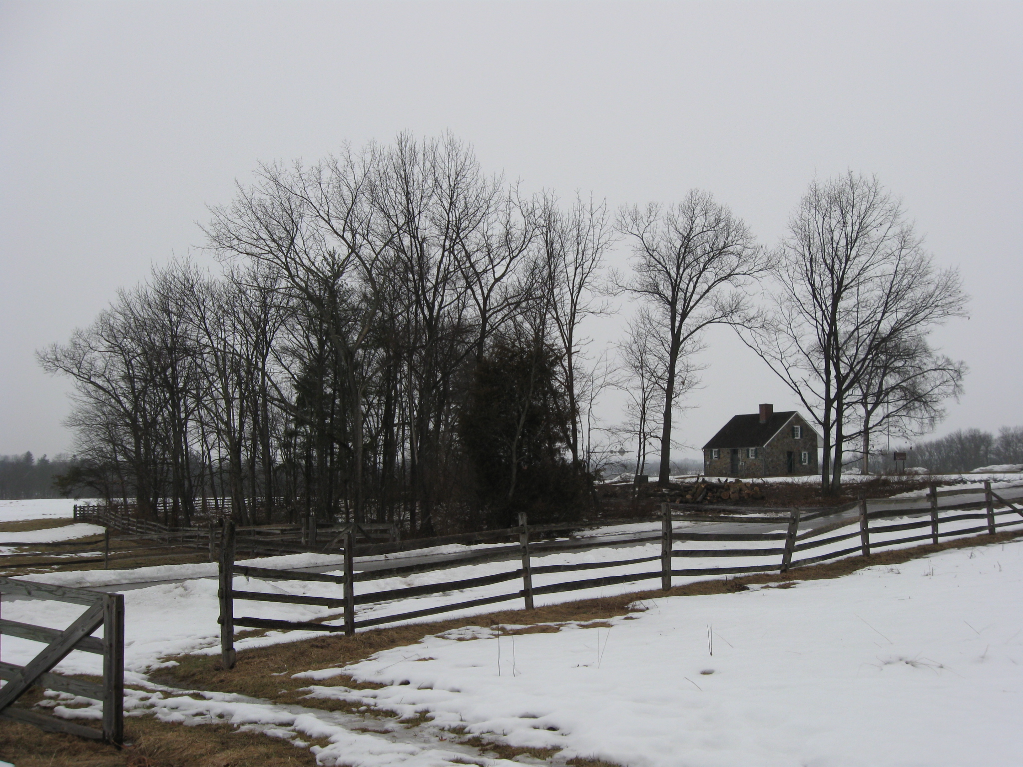
We’ll begin our walk around the West End Guide Station from the south side of the Chambersburg Pike. Most of the trees visible in this photograph will be removed. This view was taken facing southeast at approximately 4:45 PM on Tuesday, March 2, 2010.
More progress can be seen as we cross to the north side of the Chambersburg Pike. This view was taken facing southeast at approximately 4:45 PM on Tuesday, March 2, 2010.
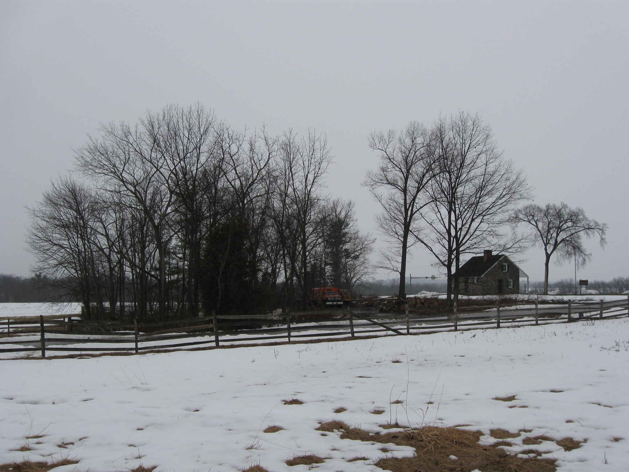
The treeline of McPherson’s Woods/Reynolds’ Woods/Herbst’s Woods is now clearly visible in the background. This view was taken facing south at approximately 4:45 PM on Tuesday, March 2, 2010.
Clearly visible. This view was taken facing southwest at approximately 4:45 PM on Tuesday, March 2, 2010.
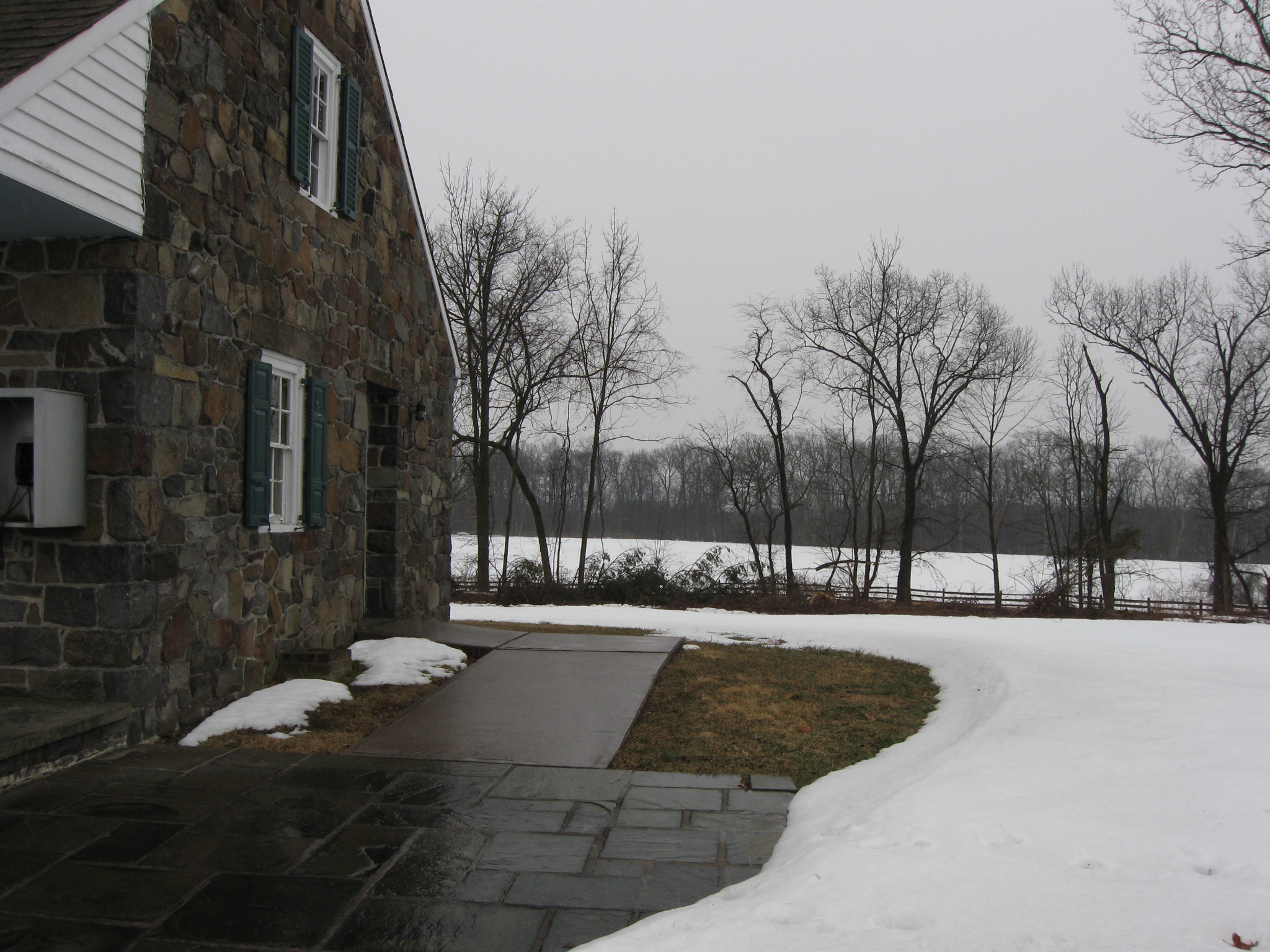
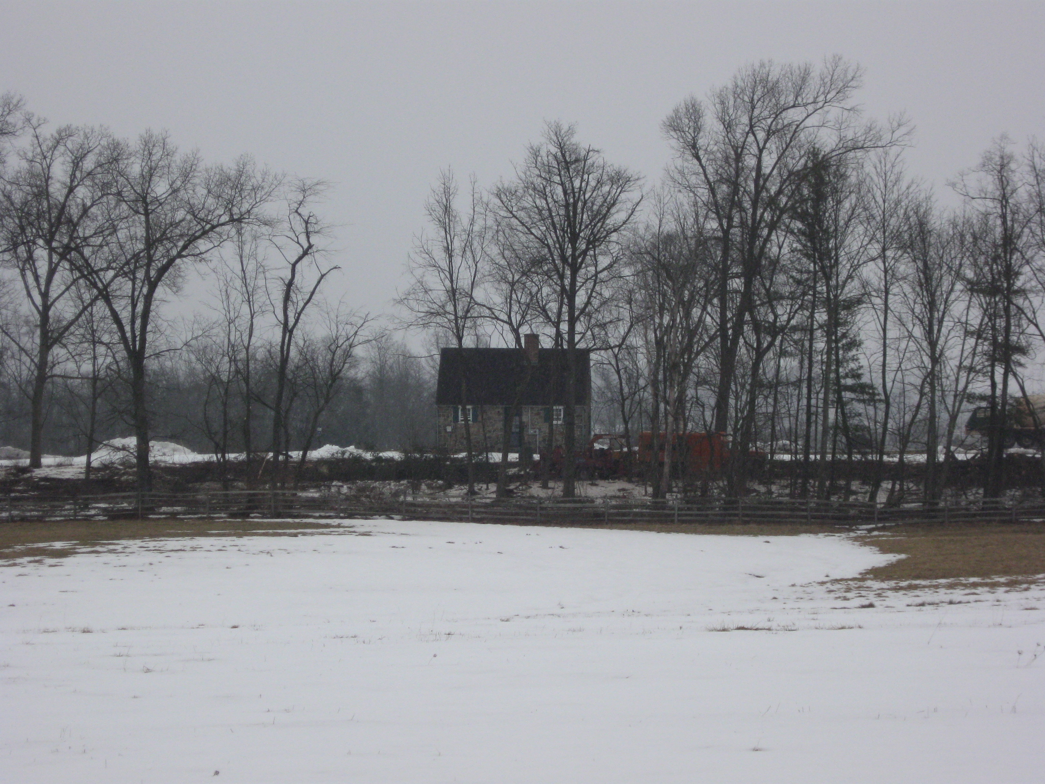
As is the McPherson Barn. This view was taken facing southeast at approximately 4:45 PM on Tuesday, March 2, 2010.
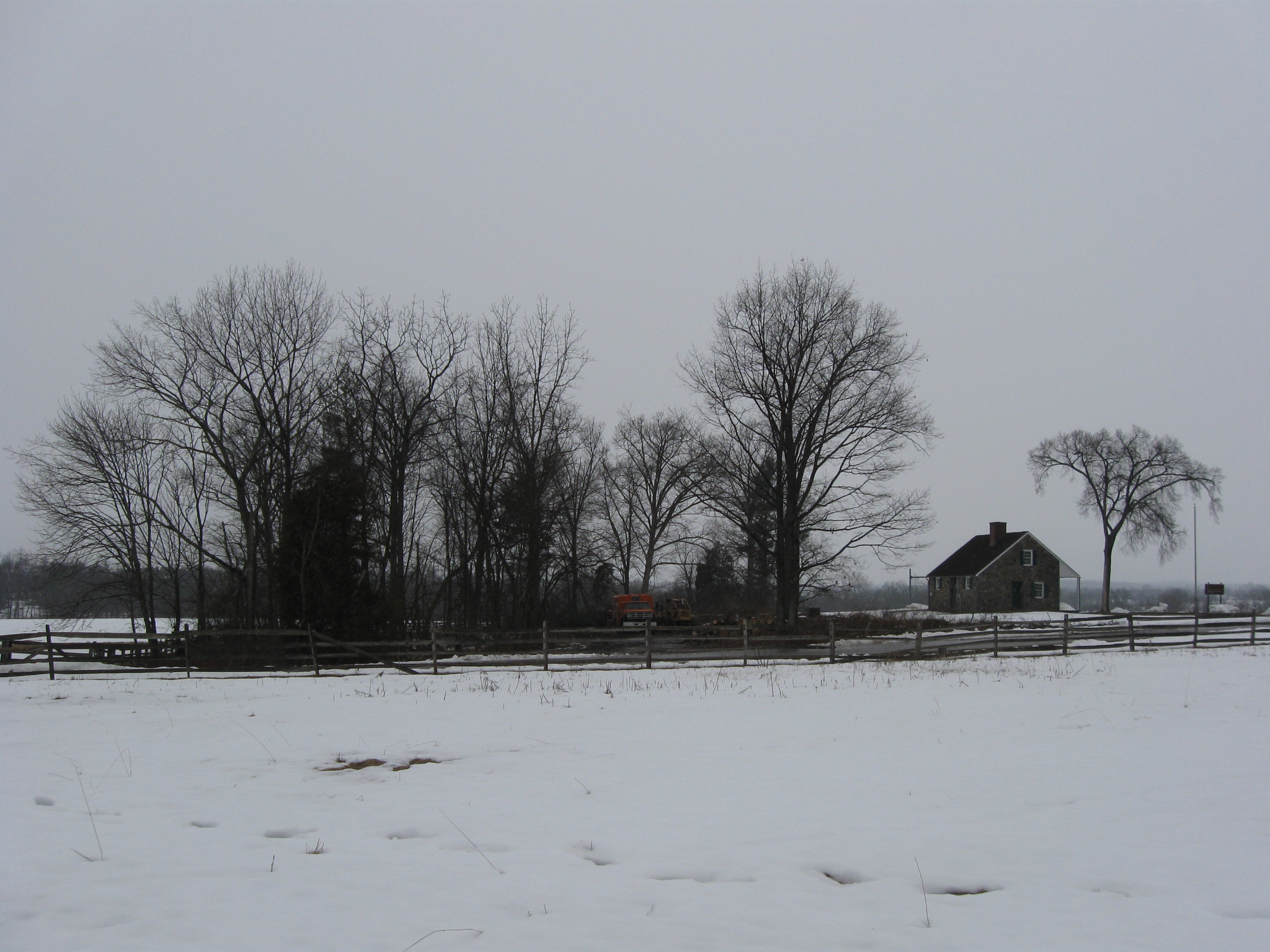
The cutting of this half an acre of wood is to be completed by the middle of this month. This view was taken facing southwest at approximately 4:45 PM on Tuesday, March 2, 2010.
This view was taken facing southwest at approximately 4:45 PM on Tuesday, March 2, 2010.
This view was taken facing southwest at approximately 4:45 PM on Tuesday, March 2, 2010.
This view was taken facing southwest at approximately 4:45 PM on Tuesday, March 2, 2010.
We’ve crossed back to the south side of the Chambersburg Pike. This view was taken facing southwest at approximately 4:45 PM on Tuesday, March 2, 2010.
Here’s the debris from the branches of one of the trees that fell across Stone Avenue. The Buford Statue and the Reynolds’ Equestrian Statue are in the right background. This view was taken facing northeast at approximately 4:45 PM on Tuesday, March 2, 2010.
This view was taken facing northwest at approximately 4:45 PM on Tuesday, March 2, 2010.
This view was taken facing northwest at approximately 4:45 PM on Tuesday, March 2, 2010.
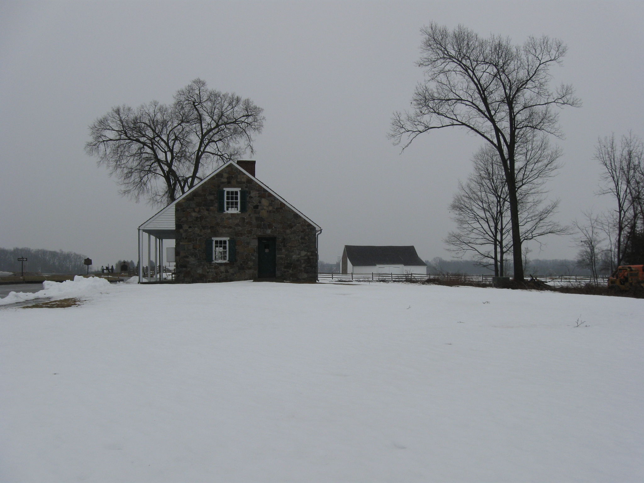
We’re moving closer to the McPherson Barn… This view was taken facing northwest at approximately 4:45 PM on Tuesday, March 2, 2010.
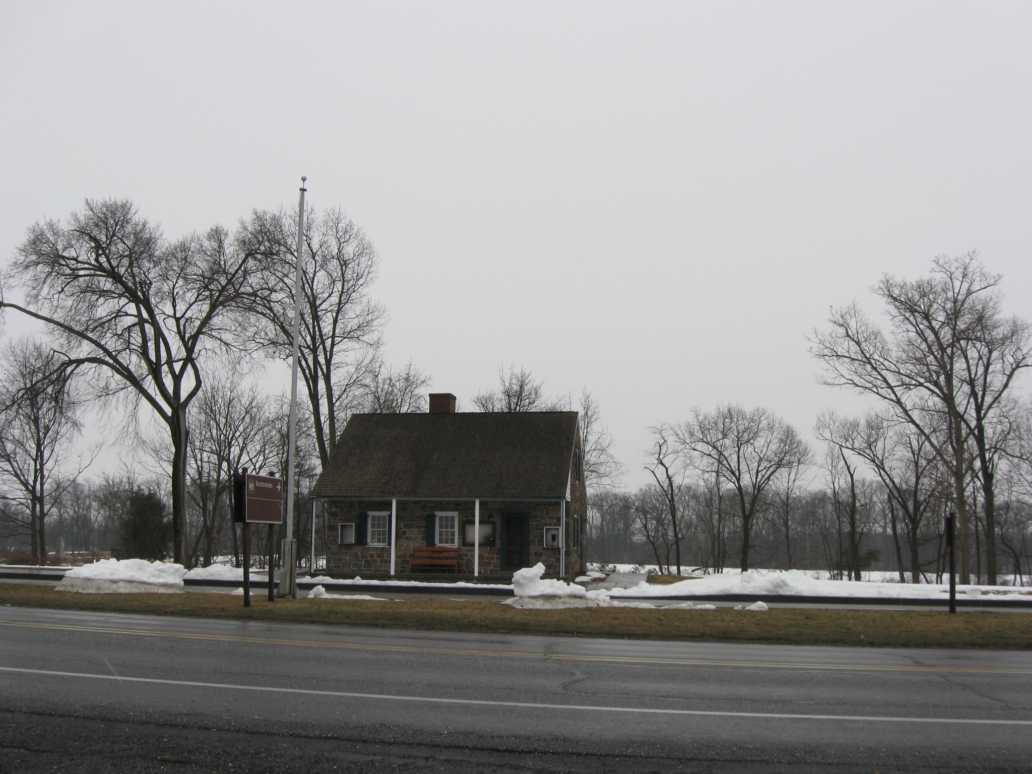
…and it’s time once again for our before and after pictures. Here’s the day before the cutting began. This view was taken facing northwest at approximately 8:45 AM on Sunday, February 28, 2010.
Here’s after the first day of cutting. This view was taken facing northwest at approximately 4:30 PM on Monday, March 1, 2010.
After the second day of cutting. This view was taken facing northwest at approximately 4:45 PM on Tuesday, March 2, 2010.
We’re moving a little farther to the right or north… This view was taken facing northwest at approximately 4:45 PM on Tuesday, March 2, 2010.
…and a little farther to the right. This view was taken facing northwest at approximately 4:45 PM on Tuesday, March 2, 2010.
But let’s go back to the area of the 7th Wisconsin Monument at the edge of McPherson’s Woods. Here’s how the target area looked the day before the cutting began. This view was taken facing northeast at approximately 8:45 AM on Sunday, February 28, 2010.
Here’s how it looked after the second day of tree cutting. This view was taken facing northeast at approximately 4:45 PM on Tuesday, March 2, 2010.
This view was taken facing northeast at approximately 4:45 PM on Tuesday, March 2, 2010.
See the following related posts:
Tree Cutting Between the Baltimore Pike and Spangler’s Spring on March 11, 2009.
James McAllister Farm Tree Cutting Update on April 16, 2009.
Culp’s Hill Tree Cutting Part 1: Spangler’s Lane on September 27, 2009.
Culp’s Hill Tree Cutting Part 2: The Ravine on September 28, 2009.
Culp’s Hill Tree Cutting: Northeast Slope of Culp’s Hill on November 17, 2009.
Spangler’s Spring Tree Cutting (Lack of Tree Cutting) Update on November 21, 2009.
Power Lines, Ground Disturbance, and the Inadequate Devil’s Den Restroom on September 5, 2009.
Devil’s Den Restroom, The Final Months on February 4, 2010.
West End Guide Station Tree Cutting Scheduled to Begin Today on March 1, 2010.
West End Guide Station Tree Cutting Day 1 on March 2, 2010.