
The water line has made it about 1/3 of the way up East Cemetery Hill. Wainwright Avenue is in the right of this shot. This view was taken facing south at approximately 6:15 PM on Wednesday, July 28, 2010.
National Park Service contractors have worked for over three weeks to bring water to the Spangler’s Spring restroom from East Cemetery Hill. Today we’ll follow the progress that was made since yesterday’s post.

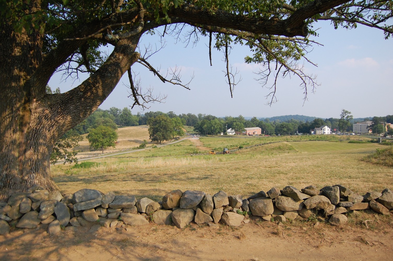
Remember the spray paint? The line has been run under this rock wall. We’ll walk to the pile of earth ahead … This view was taken facing south at approximately 6:15 PM on Wednesday, July 28, 2010.

… to show you another piece of old piping. As we showed you yesterday, the water line was constructed in 1937 by the Civilian Conservation Corps. The Gettysburg National Military Park CCC camps provided work for many men from Pennsylvania and Maryland, who were otherwise without work (the unemployment rate in 1937 was 14.3% during the Recession of 1937-1938). This view was taken facing south at approximately 6:15 PM on Wednesday, July 28, 2010.

This photograph was taken of the CCC hand-digging the water line on the southeastern portion of Stevens Knoll. Notice any pipes that look familiar? Williams Avenue is just visible in the left portion of the photo. We encourage you to click on this image for a more detailed view. This view was taken facing southeast, circa 1937. Courtesy of the the Center for Civil War Photography, which has more than 1,000 historic Gettysburg Park images like these on their Flickr.
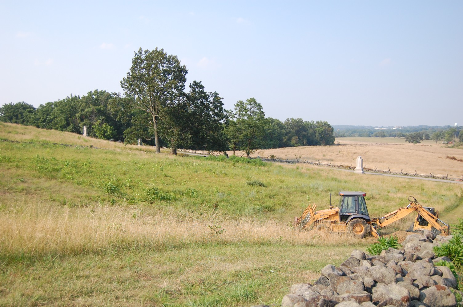
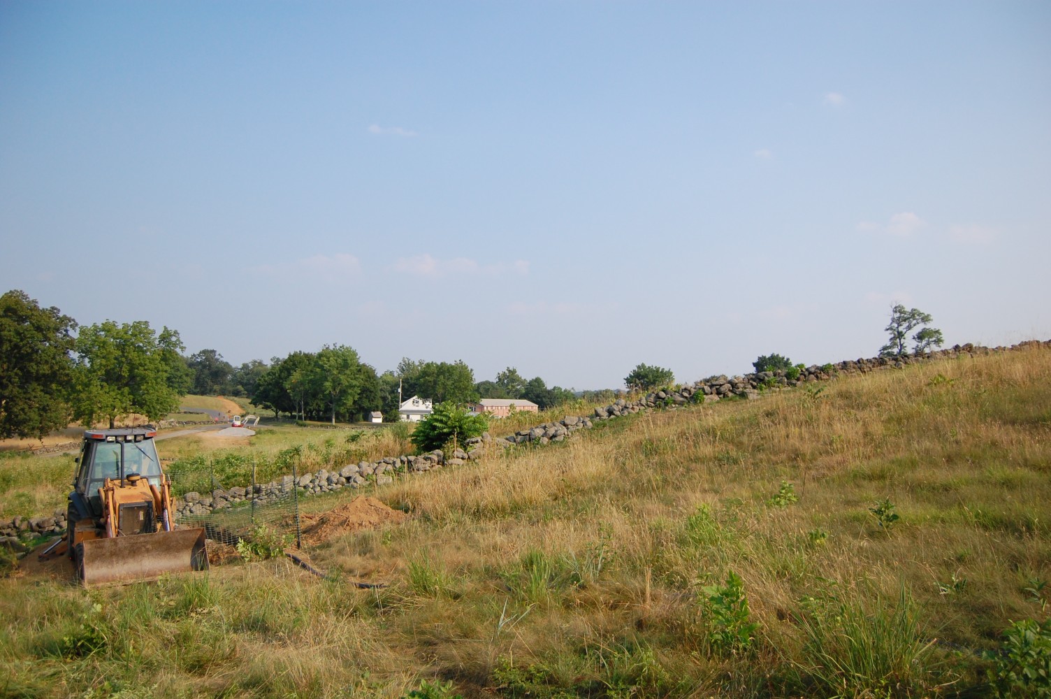
Looking back towards Stevens Knoll. A significant amount of vegetation continues to be cleared to make room for the equipment that digs the trench and refills it. This view was taken facing south at approximately 6:15 PM on Wednesday, July 28, 2010.
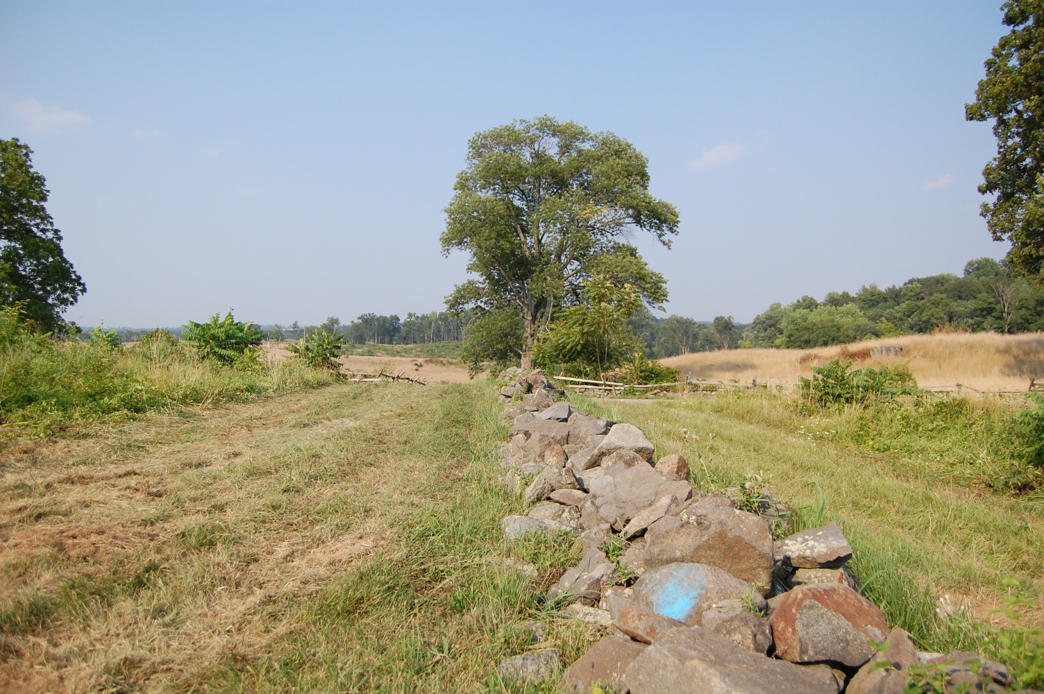
The water line runs under this wall as well (paint still intact) … This view was taken facing south at approximately 6:15 PM on Wednesday, July 28, 2010.
… And the trench begins again on the opposite side. This view was taken facing south at approximately 6:15 PM on Wednesday, July 28, 2010.

You will notice the pipe exits the 1937 water line. This view was taken facing south at approximately 6:15 PM on Wednesday, July 28, 2010.
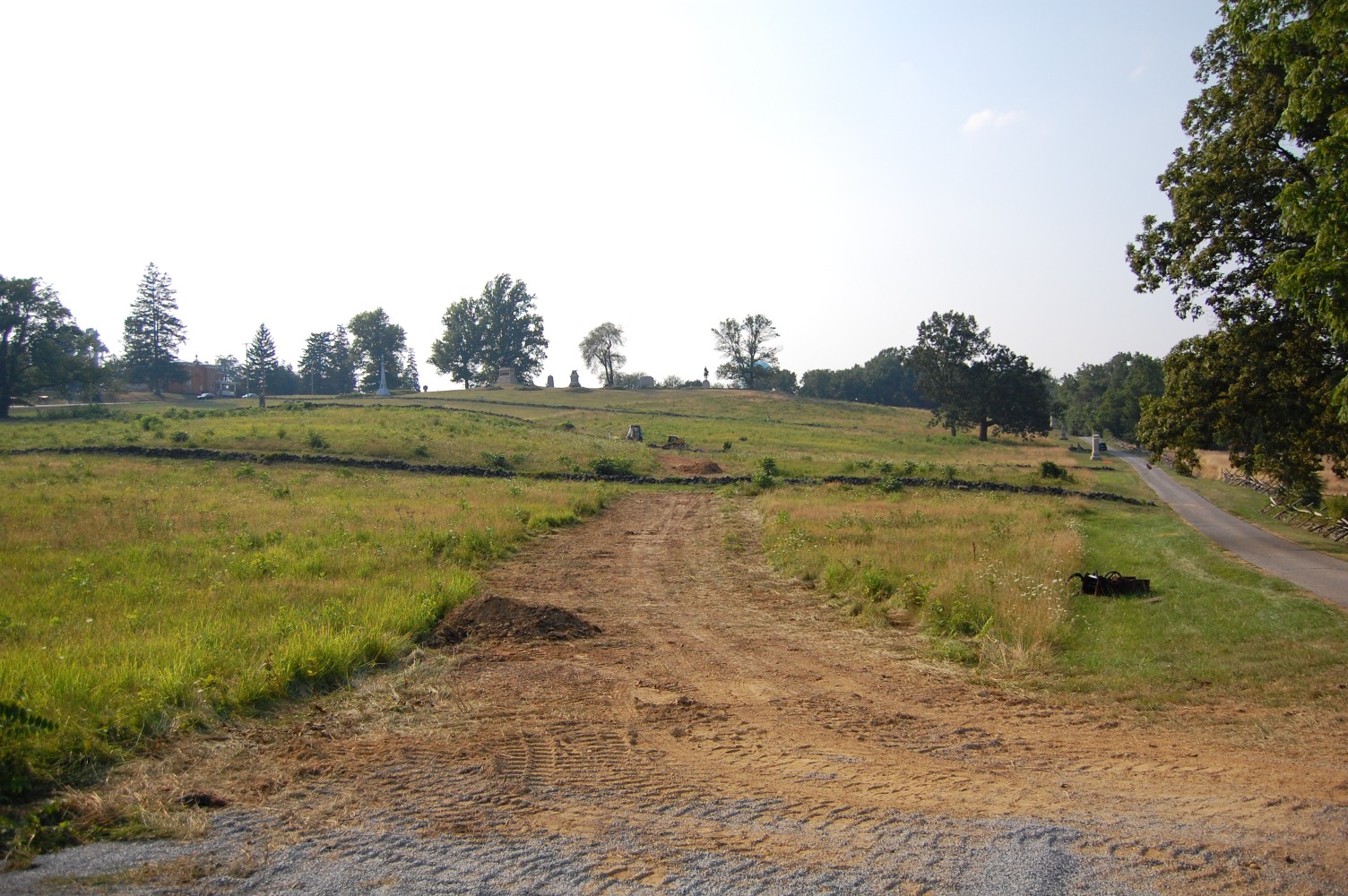
Work stopped here as of Wednesday afternoon. This view was taken facing south at approximately 6:15 PM on Wednesday, July 28, 2010.
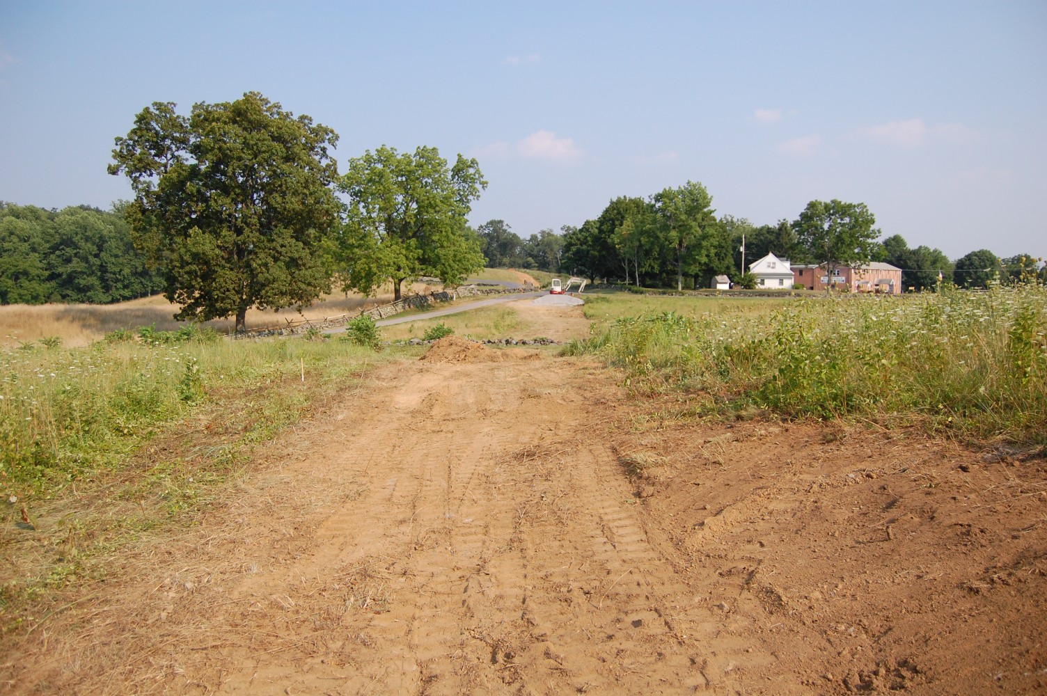
The water line will not come straight up the hill here. It will divert to the eastern portion of the hill (to the left) This view was taken facing south at approximately 6:15 PM on Wednesday, July 28, 2010.
This was likely originally done to avoid the bevy of monuments and markers on the summit of the hill. This view was taken facing south at approximately 6:15 PM on Wednesday, July 28, 2010.

In our original post charting the path of the water line on July 2nd, we showed you the water main at the top of the hill where the line will end. Originally, the water line extended out to the Baltimore Pike. This view was taken facing west, circa 1937. Courtesy of the the Center for Civil War Photography, which has more than 1,000 historic Gettysburg Park images like these on their Flickr.