
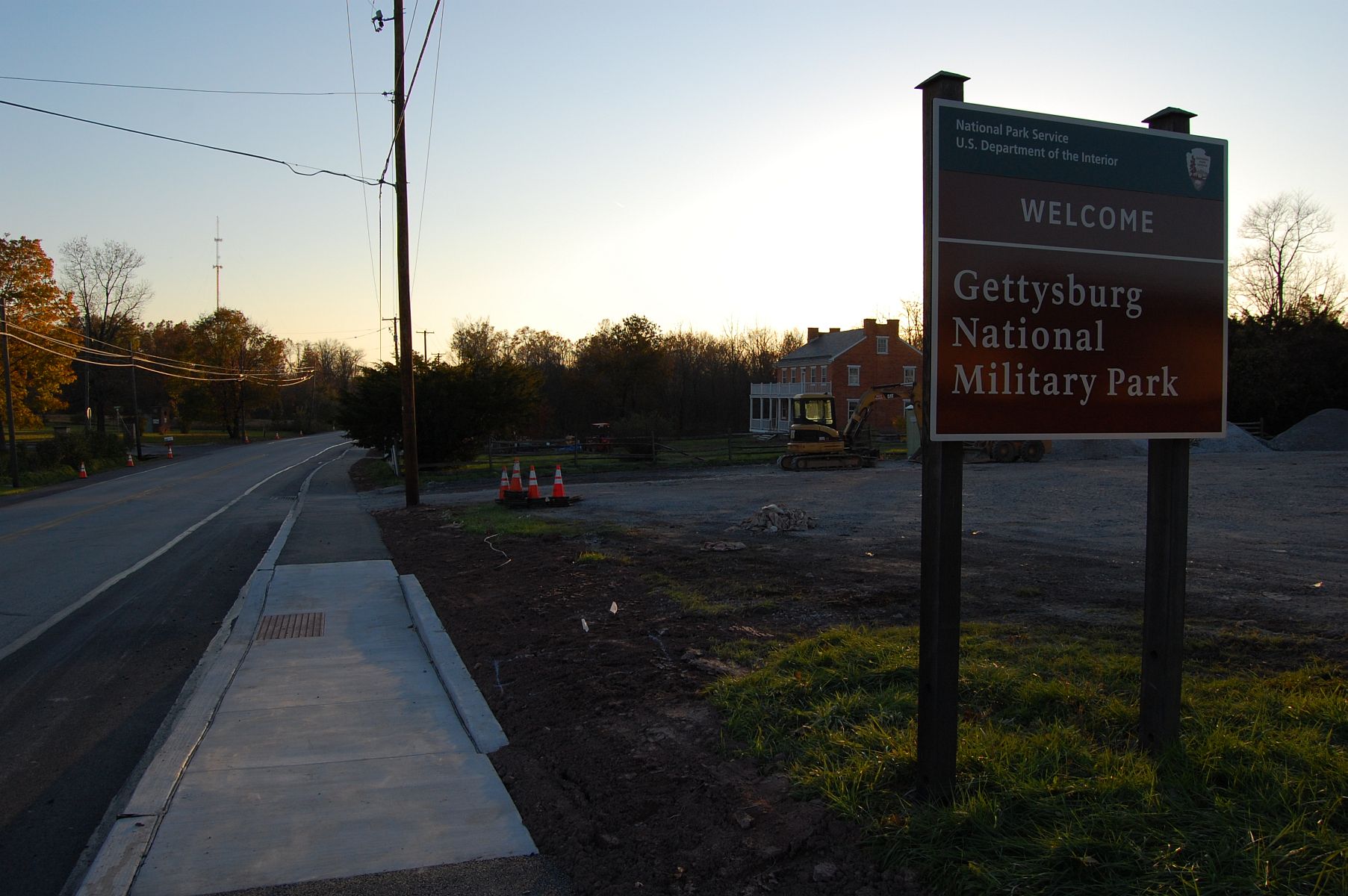
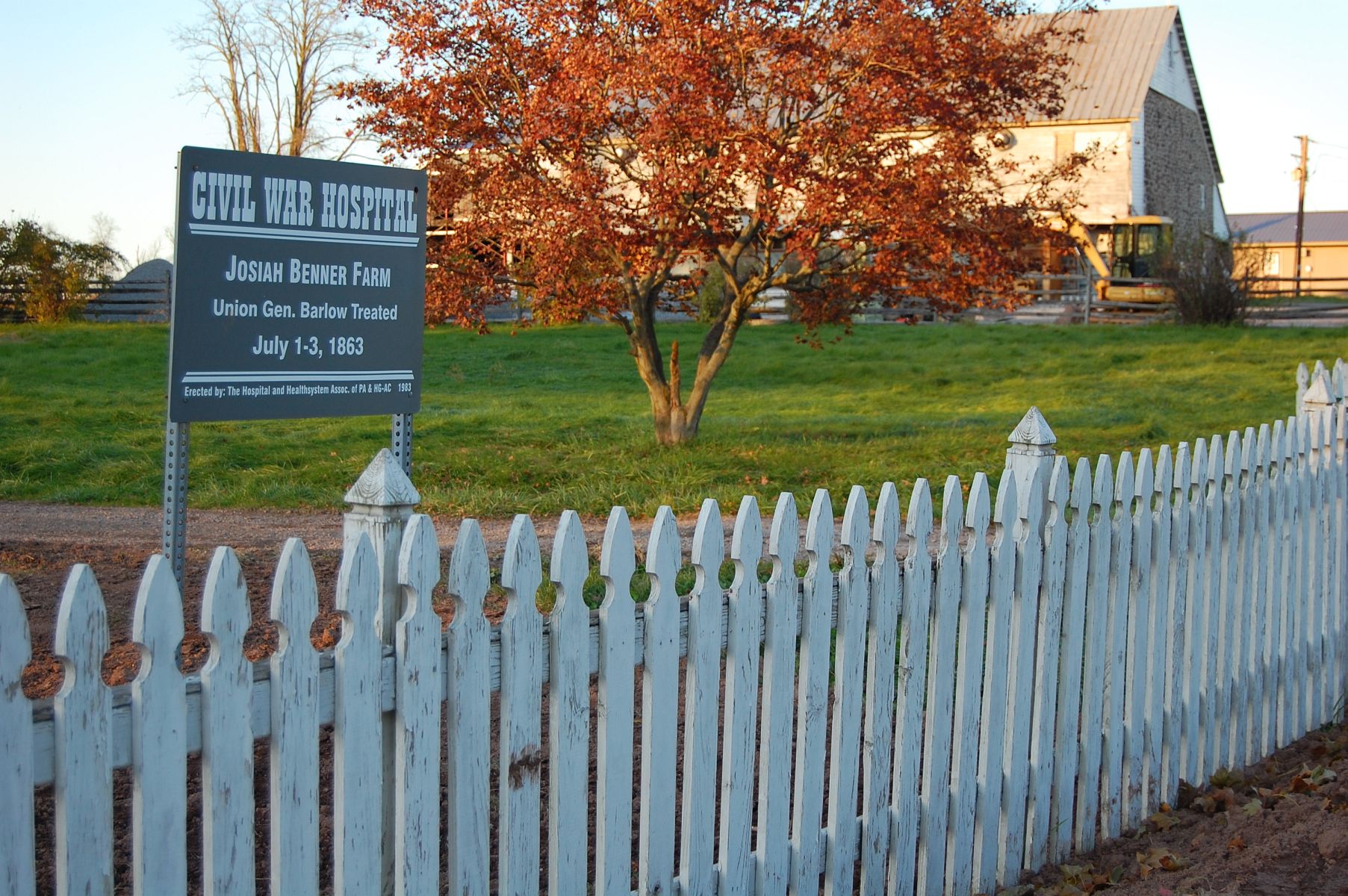
The North Gettysburg Trail and the Josiah Benner Farm, as the sun sets near Gettysburg National Military Park. This view was taken facing southwest at approximately 5:20 PM on Sunday, November 6, 2011.
On Wednesday, we took a look at the recently paved North Gettysburg Trail from town to Howard Avenue. Today we’ll finish walking the trail.
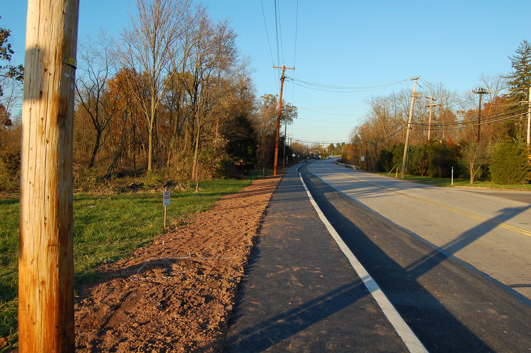
Howard Avenue is behind us. This view was taken facing northeast at approximately 5:20 PM on Sunday, November 6, 2011.
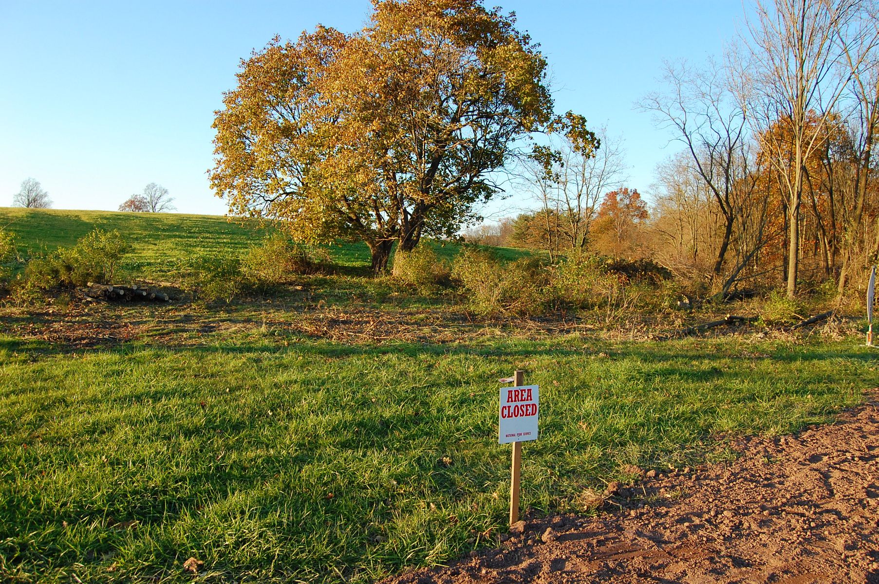
The National Park Service was doing some minor tree/brush clearing on this section of Barlow/Blocher’s Knoll. This view was taken facing northwest at approximately 5:20 PM on Sunday, November 6, 2011.
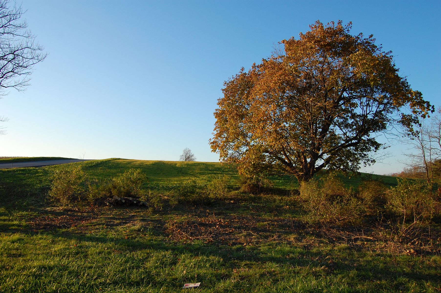
This view was taken facing east facing northwest at approximately 5:20 PM on Sunday, November 6, 2011.
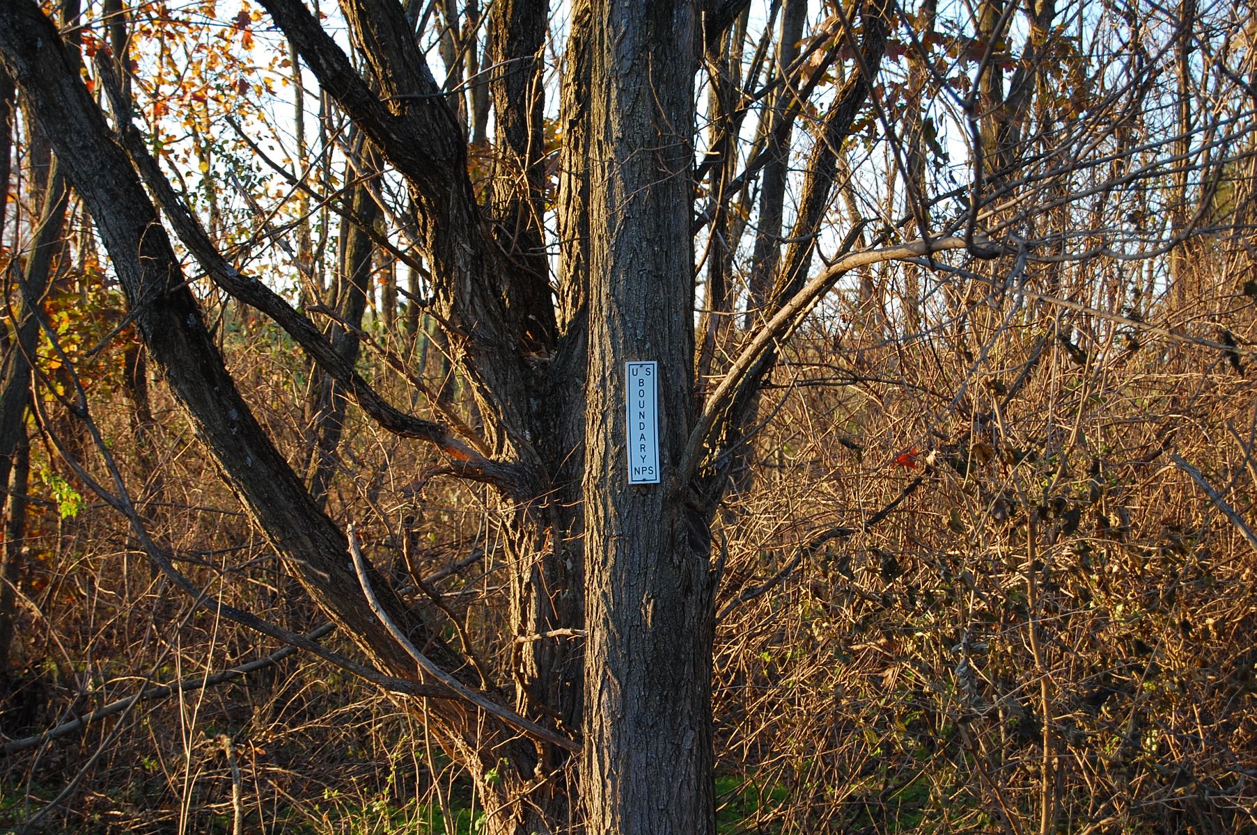
“US Boundary” markers for the National Park are dotted along the trees as we get closer to Rock Creek. This view was taken facing east facing northwest at approximately 5:20 PM on Sunday, November 6, 2011.

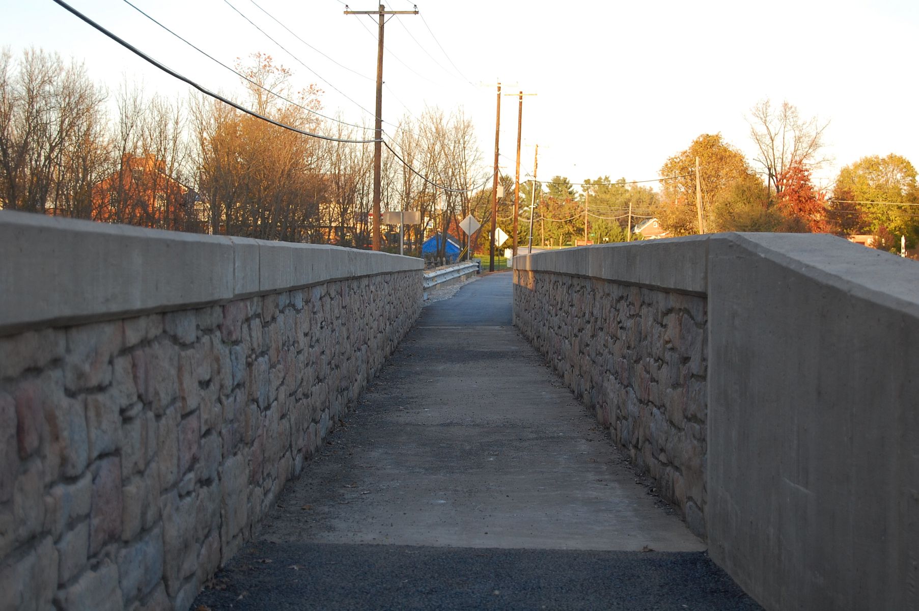
This view was taken facing southwest at approximately 5:20 PM on Sunday, November 6, 2011.
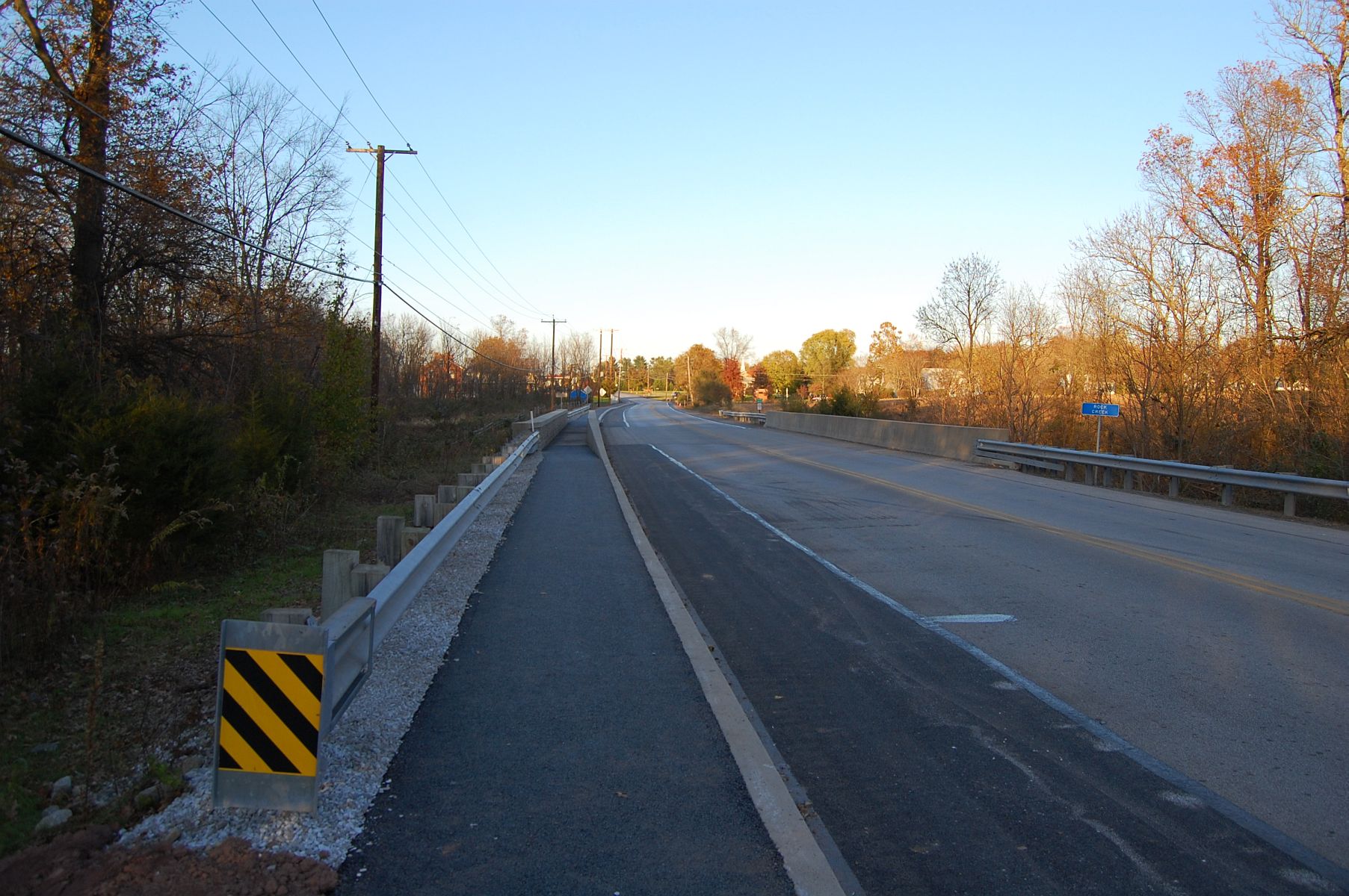
This view was taken facing northeast at approximately 5:20 PM on Sunday, November 6, 2011.
This view was taken facing northeast at approximately 5:20 PM on Sunday, November 6, 2011.
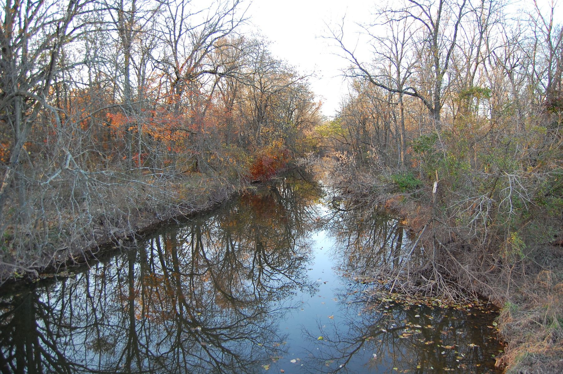
Rock Creek. On the left-hand side of this photo, not visible, is the marker to the 54th New York Infantry. This view was taken facing northwest at approximately 5:20 PM on Sunday, November 6, 2011.

This view was taken facing southwest at approximately 5:20 PM on Sunday, November 6, 2011.

The Josiah Benner House. This view was taken facing north at approximately 5:20 PM on Sunday, November 6, 2011.

The south wall of the springhouse has been covered since our last visit. This view was taken facing north at approximately 5:20 PM on Sunday, November 6, 2011.

This view was taken facing northwest at approximately 5:20 PM on Sunday, November 6, 2011.
This view was taken facing north at approximately 5:20 PM on Sunday, November 6, 2011.

This view was taken facing southwest at approximately 5:20 PM on Sunday, November 6, 2011.
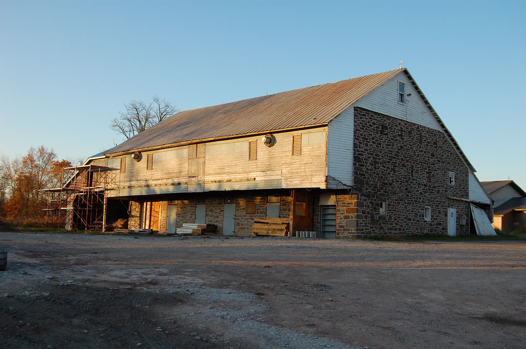
The barn of the Josiah Benner Farm. This view was taken facing northeast at approximately 5:20 PM on Sunday, November 6, 2011.
This view was taken facing southwest at approximately 5:20 PM on Sunday, November 6, 2011.
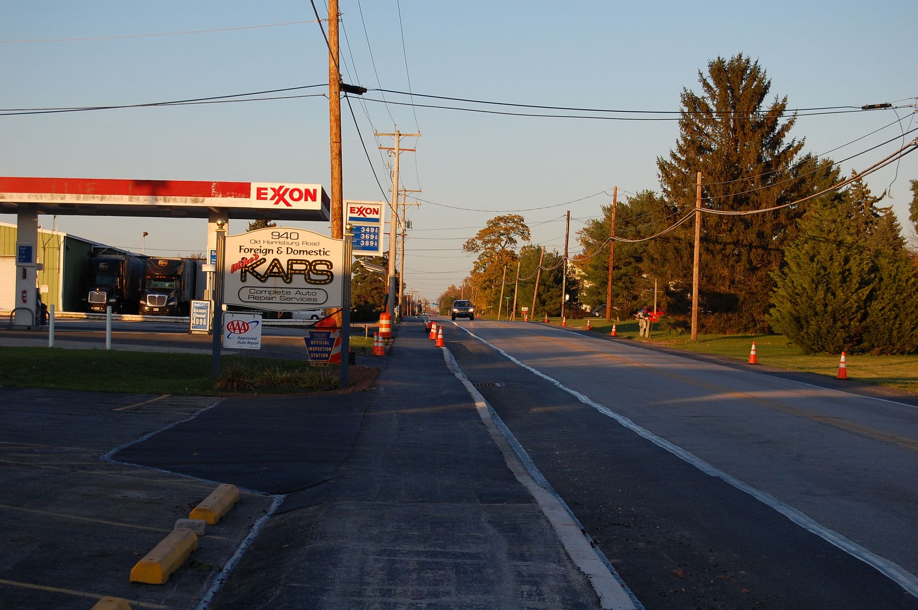
As the trail continues past the Benner Farm, it links the community of Twin Oaks and the Gettysburg Area High School to the town of Gettysburg. This view was taken facing northeast at approximately 5:20 PM on Sunday, November 6, 2011.
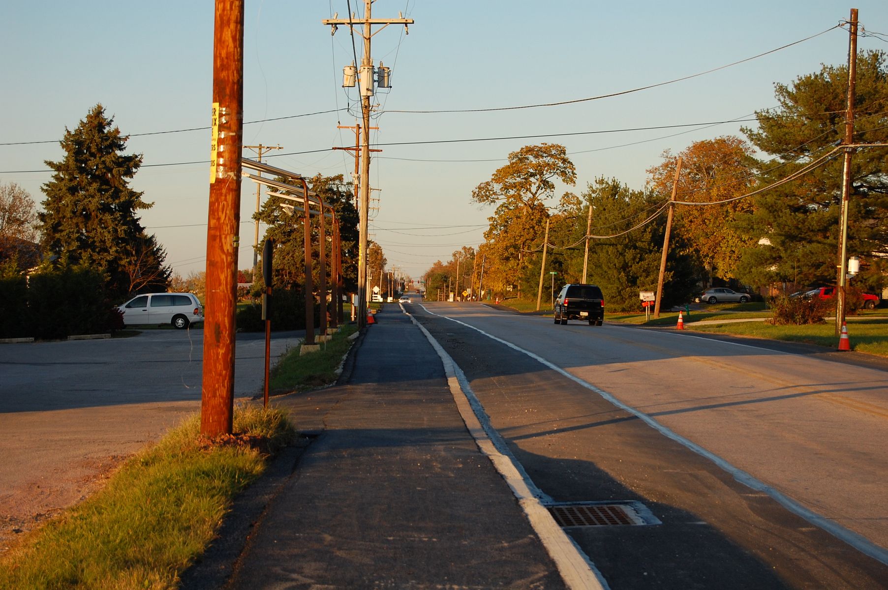
This view was taken facing northeast at approximately 5:20 PM on Sunday, November 6, 2011.
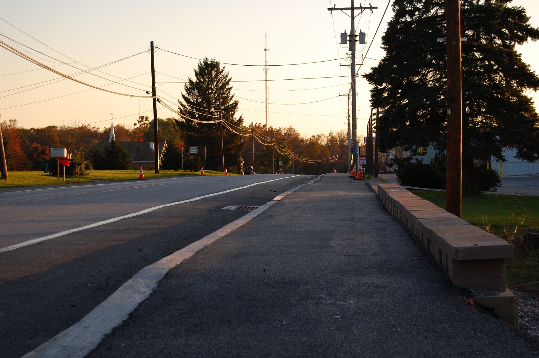
This view was taken facing southwest at approximately 5:20 PM on Sunday, November 6, 2011.
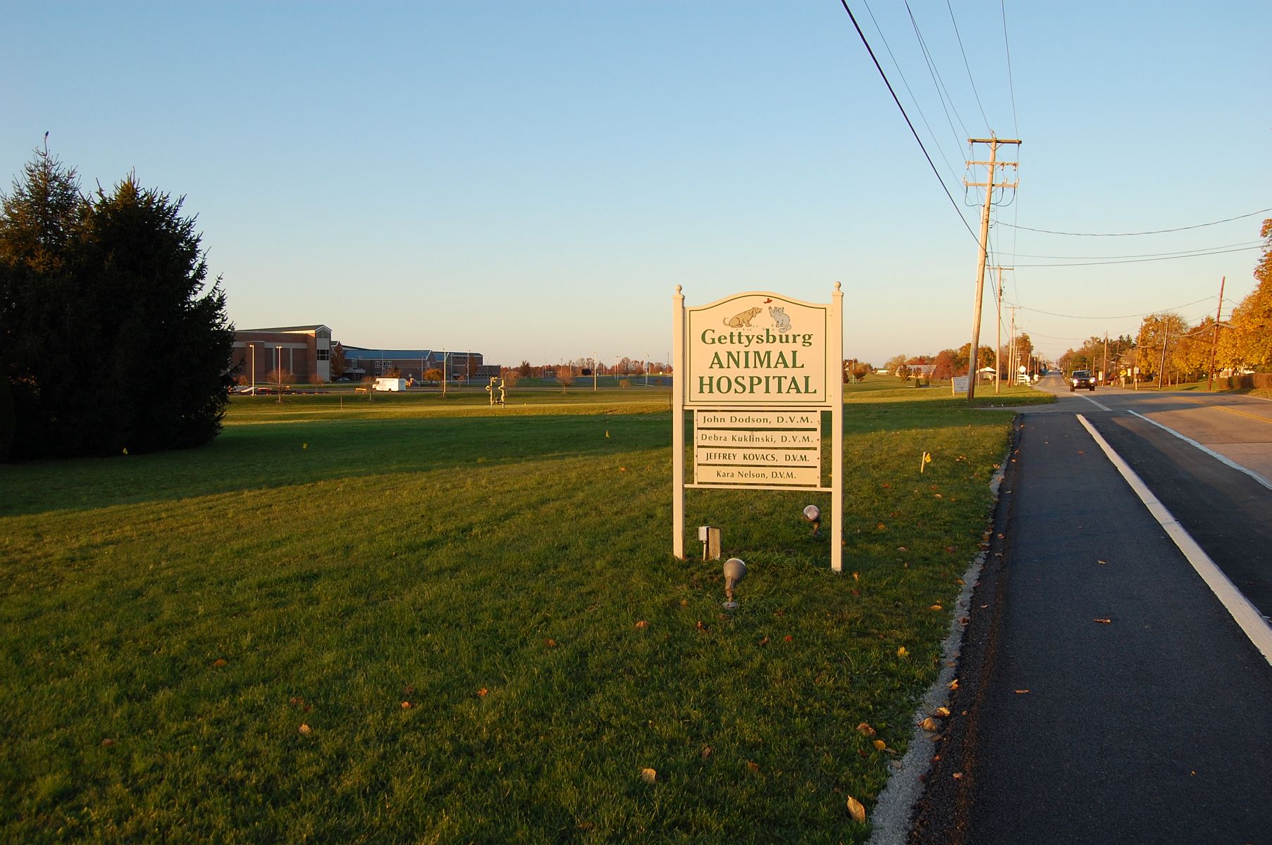
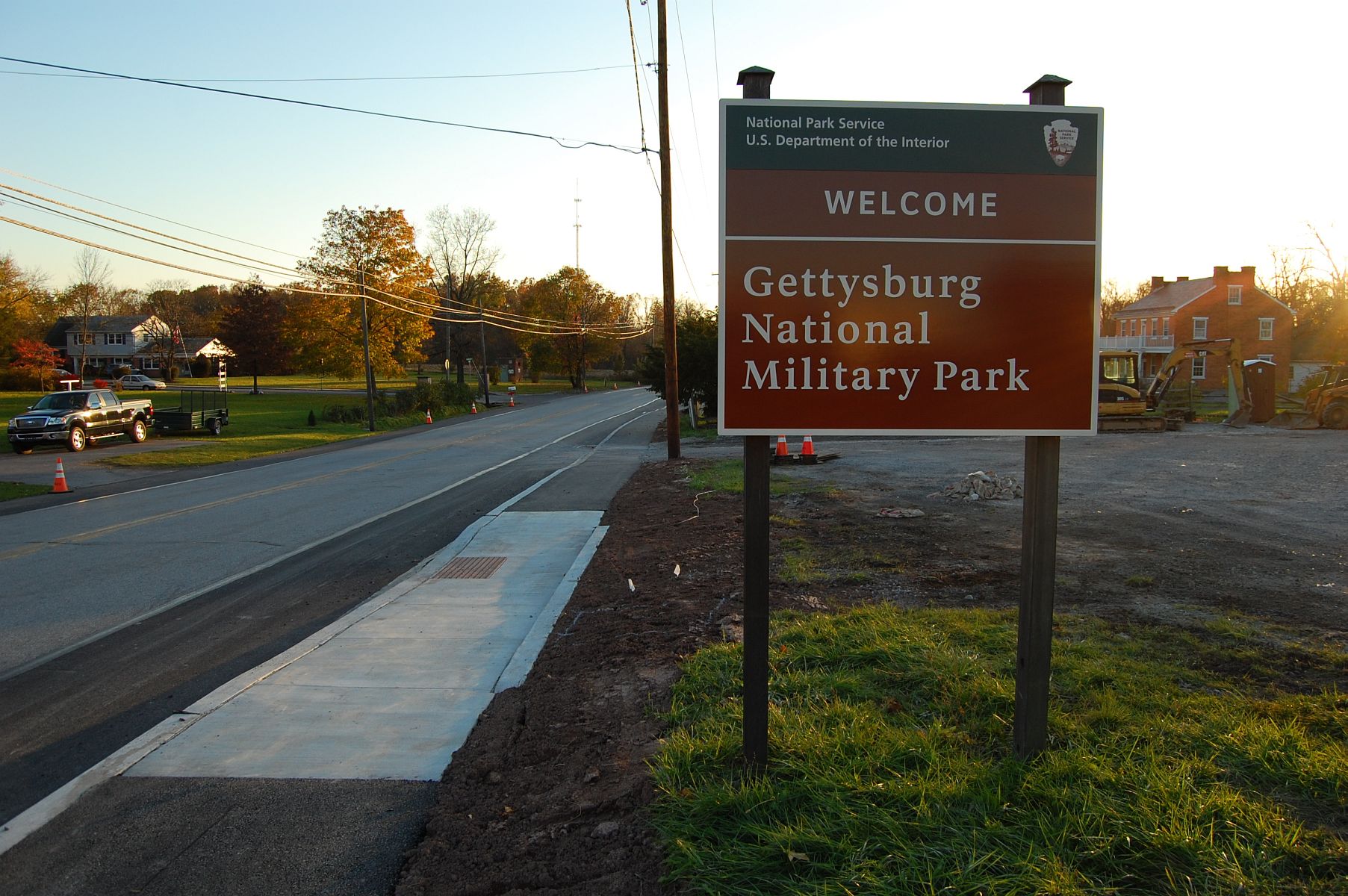
The trail ends near the Gettysburg Animal Hospital … This view was taken facing northeast at approximately 5:20 PM on Sunday, November 6, 2011.
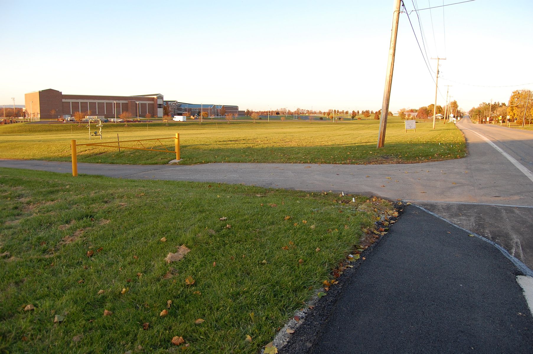
… with Gettysburg Area High School in the left background. This view was taken facing northeast at approximately 5:20 PM on Sunday, November 6, 2011.

It’s not clear how much work has yet to be performed before the trail is officially opened. The trail was closed to walkers in the last few days as construction continues. This view was taken facing southwest at approximately 5:20 PM on Sunday, November 6, 2011.