National Park Service Cuts Down a Witness Tree and Damages a Stone Wall
January 17, 2009
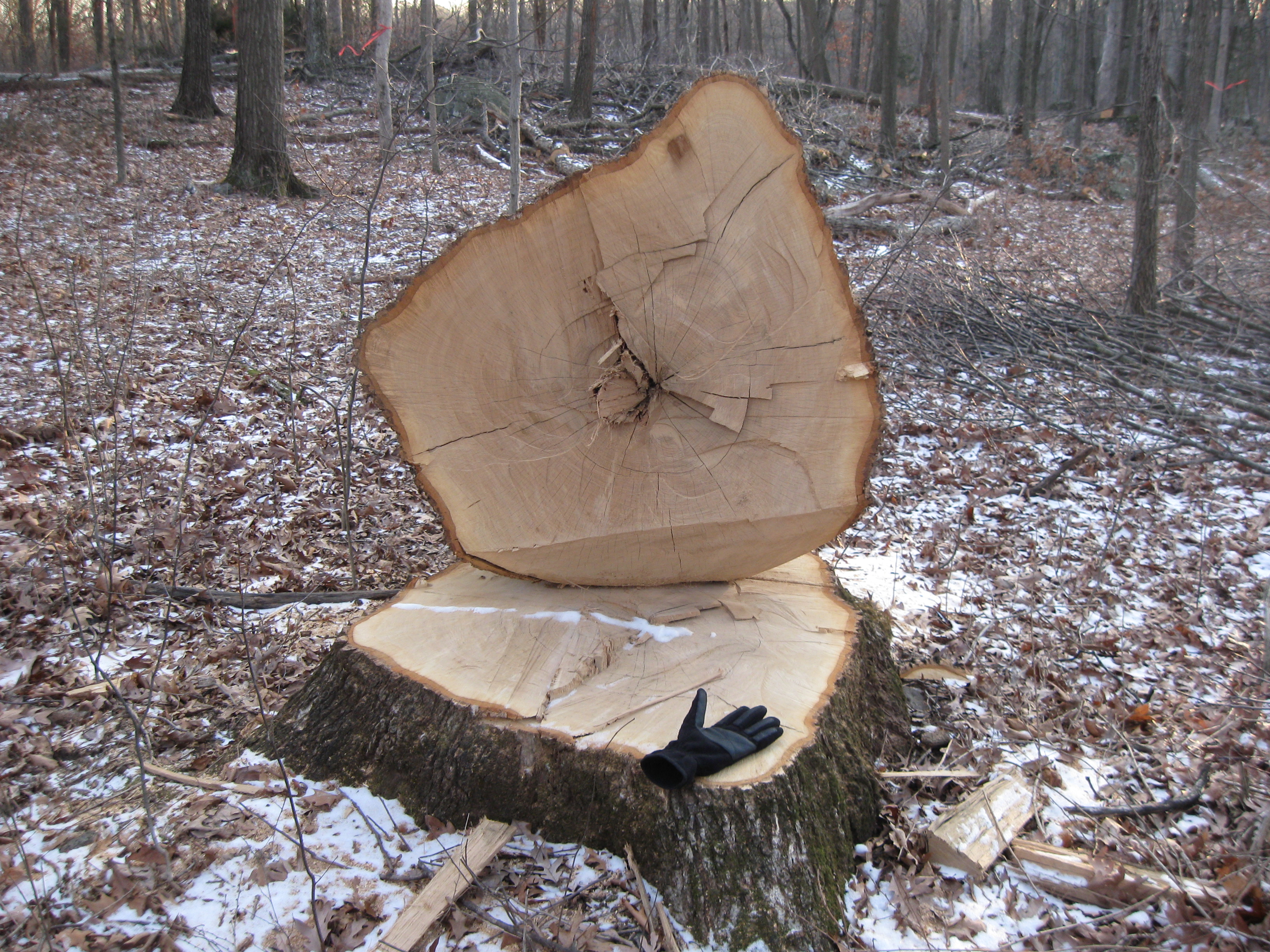
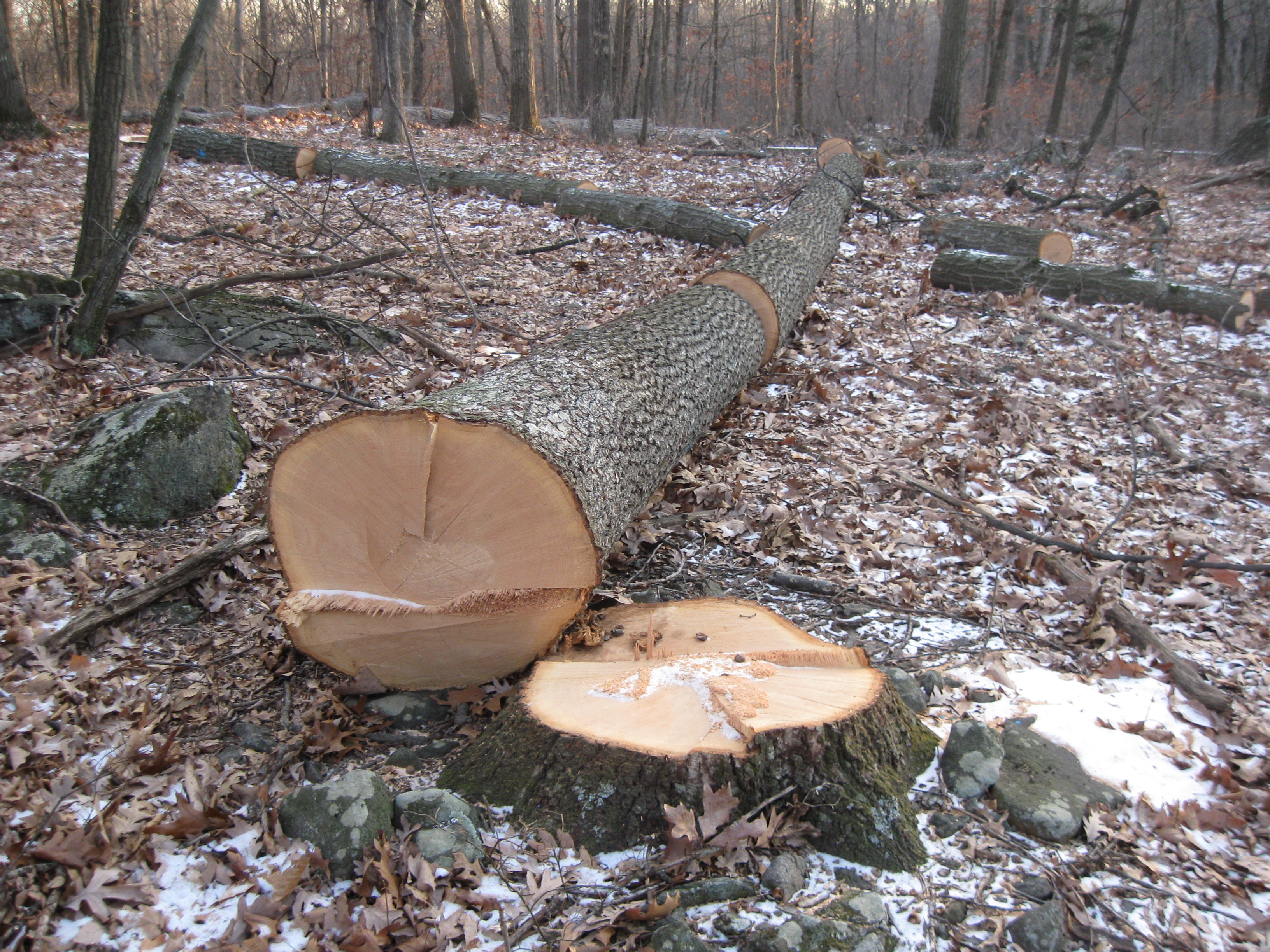
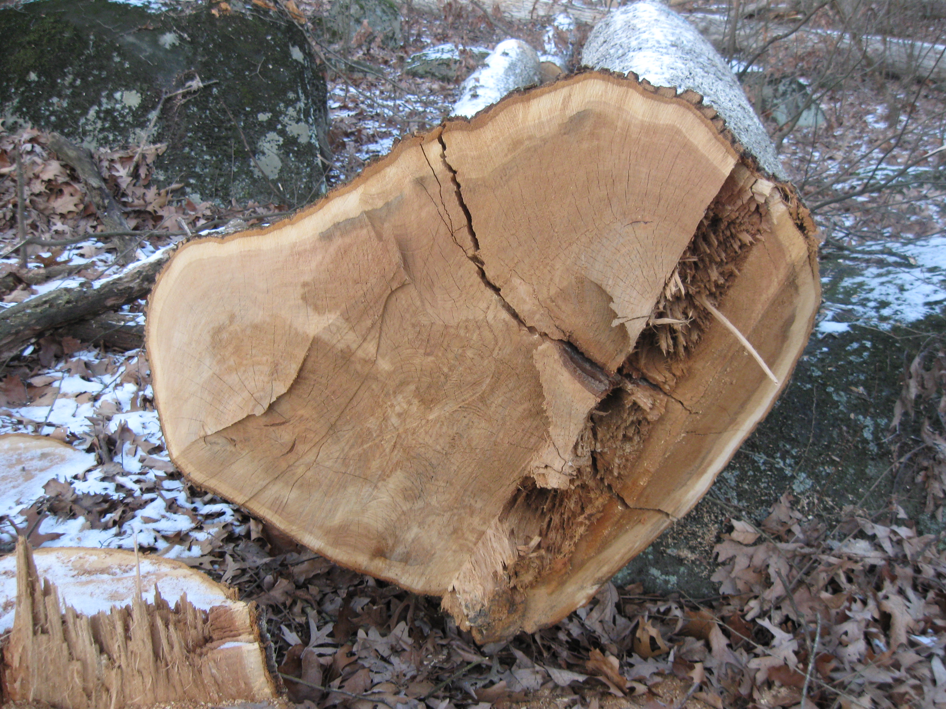
This white oak, cut down in August, 2008 was 229 years old. It started growing around 1779. There is a tight ring pattern on the tree, and the age was determined using a magnifying glass, and a nail as a stylus to count each and every ring. This view was taken facing southwest at approximately 4:30 PM on Friday, January 16, 2009.
The National Park Service has cut down at least one Witness Tree and damaged a stone wall with its tree thinning project at the southern part of the battlefield. Hundreds of trees have been cut down since the summer in the wooded area south of Big Round Top. We strongly believe there are other witness trees that have been cut down, but will wait until we have the proof (photo evidence) to show them to you. The National Park Service personnel who are in charge of this project have been made aware of the problems, came out to check the damage, didn’t disagree with the person who informed them, and stated that they need to “reevaluate” what they are doing.
The area in red is the primary area that we are featuring, although the woods are being “thinned” in a much larger area. The blue line is a trail that goes into the area from South Confederate Avenue. The hatchet laying across the trail is in the area where the 229 year old witness tree is laying across the trail. The yellow line represents the stone wall that trees have fallen over and damaged. These lines are not to scale at all. This map was created at approximately 6:30 PM on Friday, January 16, 2009.
Here is a picture of the witness tree taken soon after it was cut down. This photograph was taken four days after the National Park Service sent out a press release about the honey locust tree on Cemetery Hill that had been struck by lightning, and publicizing their efforts to save it. So does it take Abraham Lincoln riding by a tree to make it worthy of saving? This view was taken facing southwest on Monday, August 11, 2008.
To go to this area, drive along South Confederate Avenue. This view was taken facing southeast at approximately 4:30 PM on Friday, January 16, 2009.
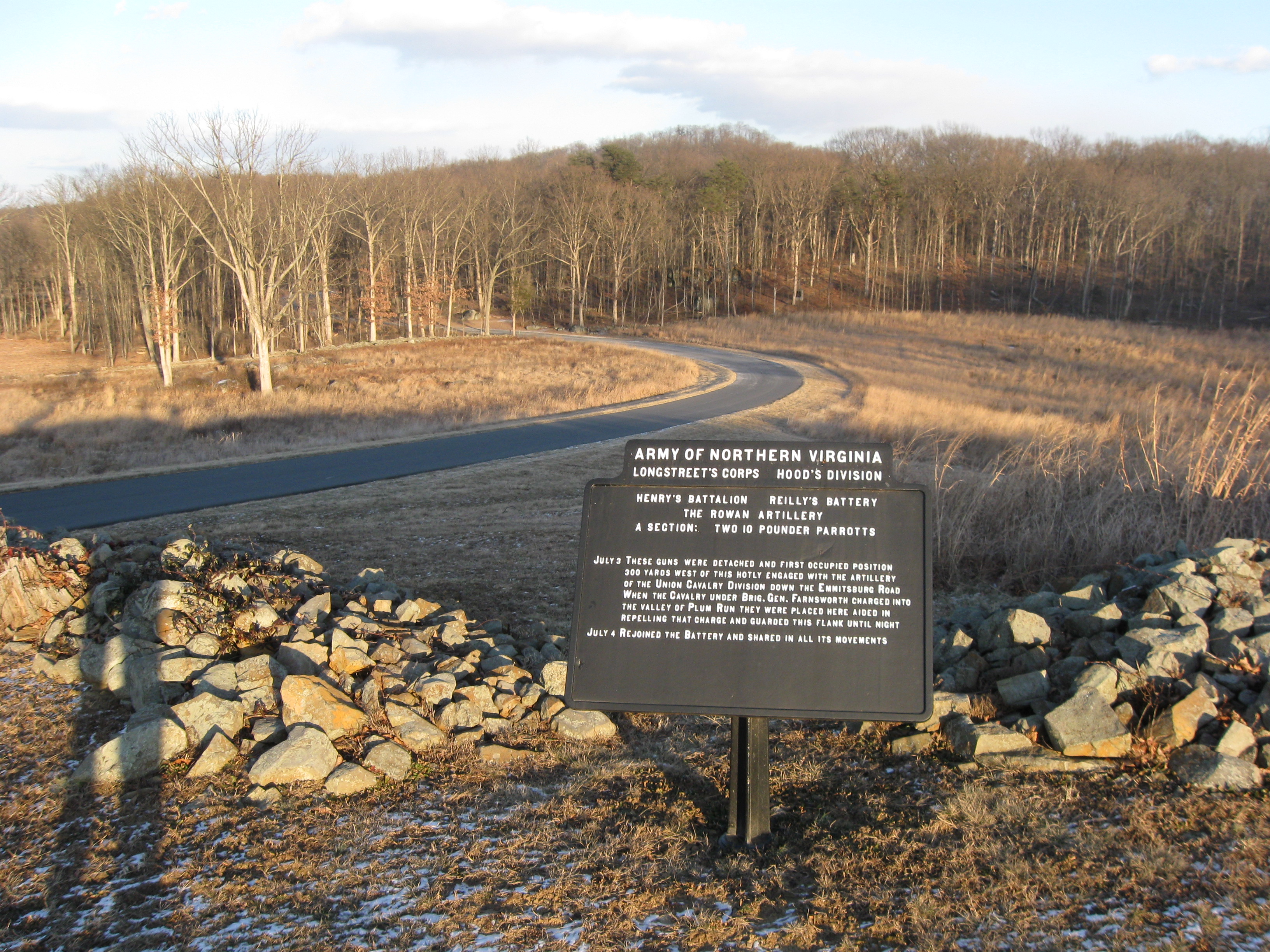
Here is the plaque marking the location of Reilly’s Battery. Big Round Top is in the background above the plaque. In a moment we’ll go down to the bottom of the hill where Confederate Avenue enters the woods. This view was taken facing east at approximately 4:30 PM on Friday, January 16, 2009.
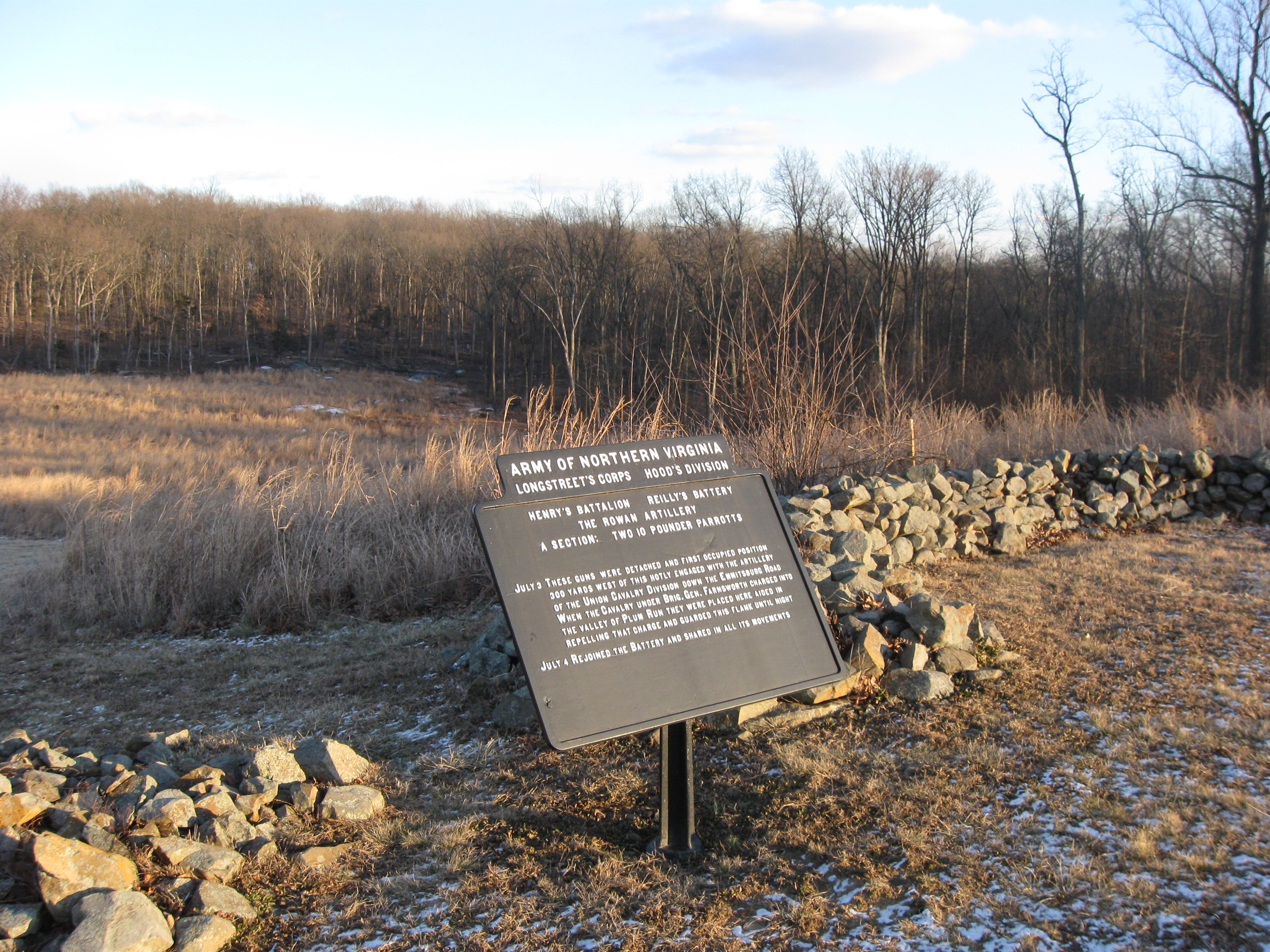
Before we go to the bottom of the ridge, we’ll look to the right (southeast) at the woods that are being “thinned,” and on which we are focusing today. This view was taken facing southeast at approximately 4:30 PM on Sunday, January 11, 2009.
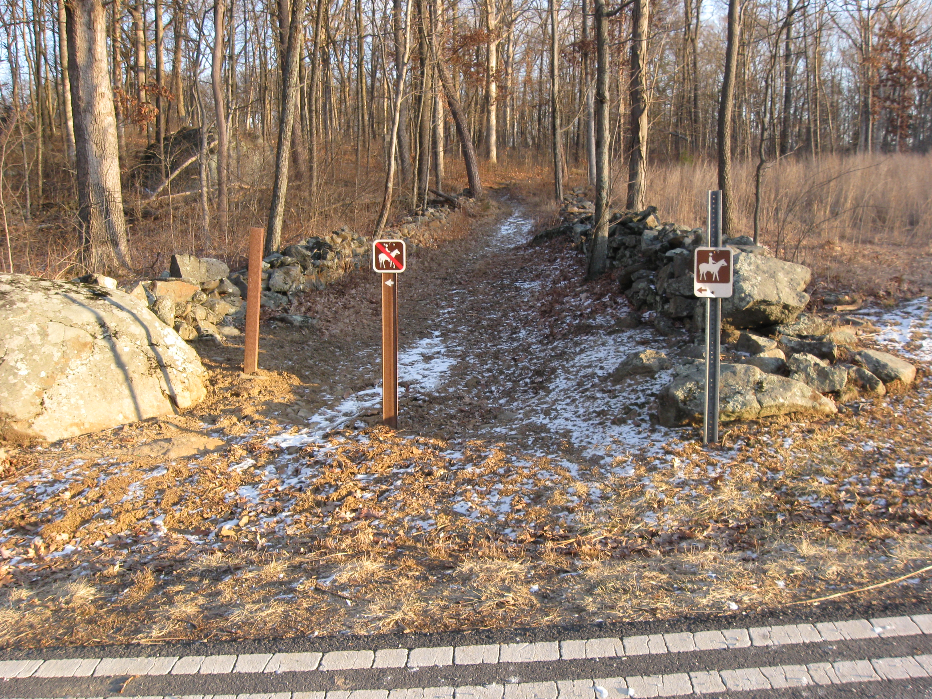
At the bottom of the hill is a horse trail. To the left (northeast) one can see the buildings of the Bushman Farm in the background. This view was taken facing north at approximately 4:30 PM on Sunday, January 11, 2009.
We’re going to take a right and walk south along the trail. This view was taken facing south at approximately 4:30 PM on Sunday, January 11, 2009.
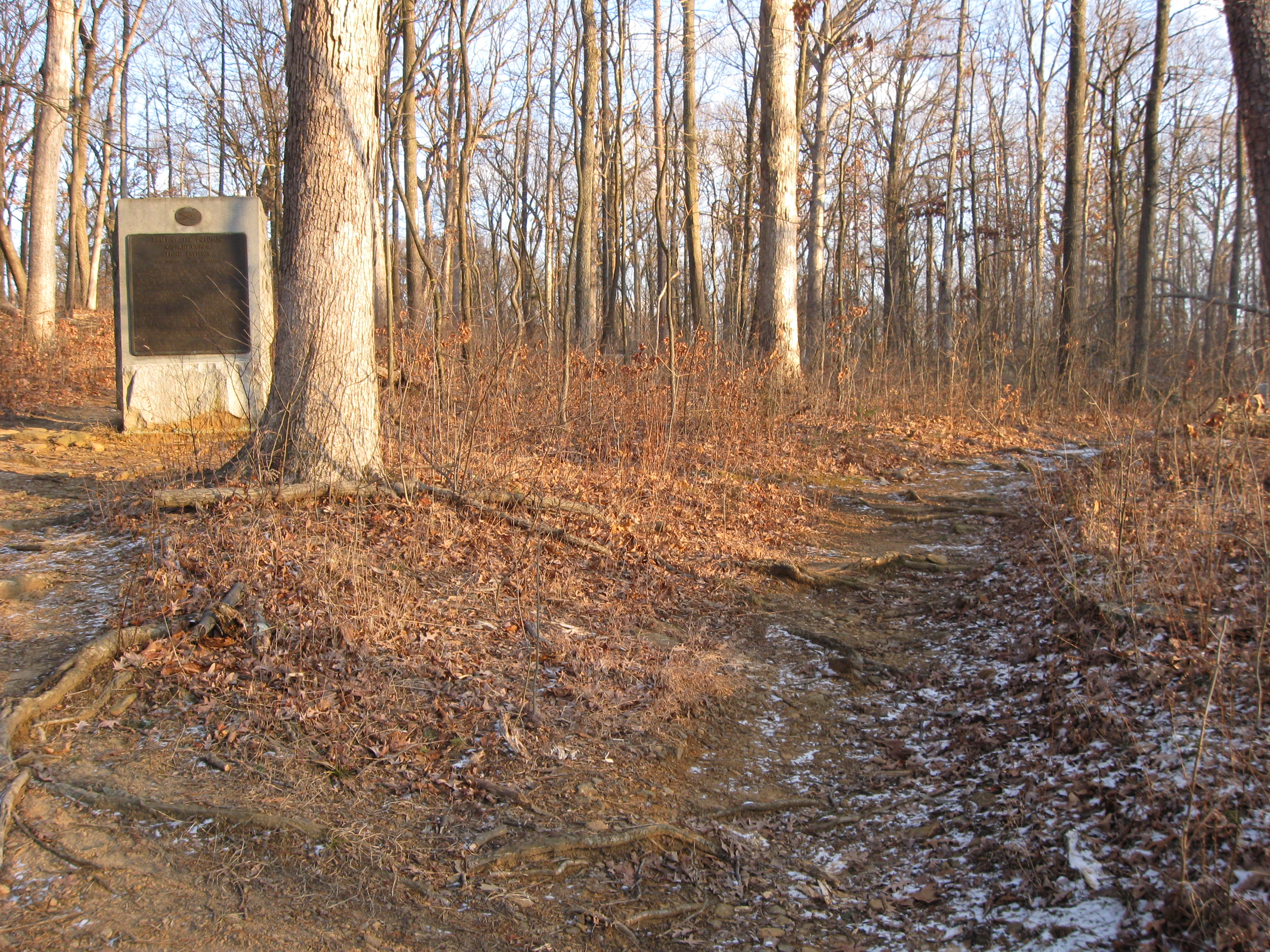
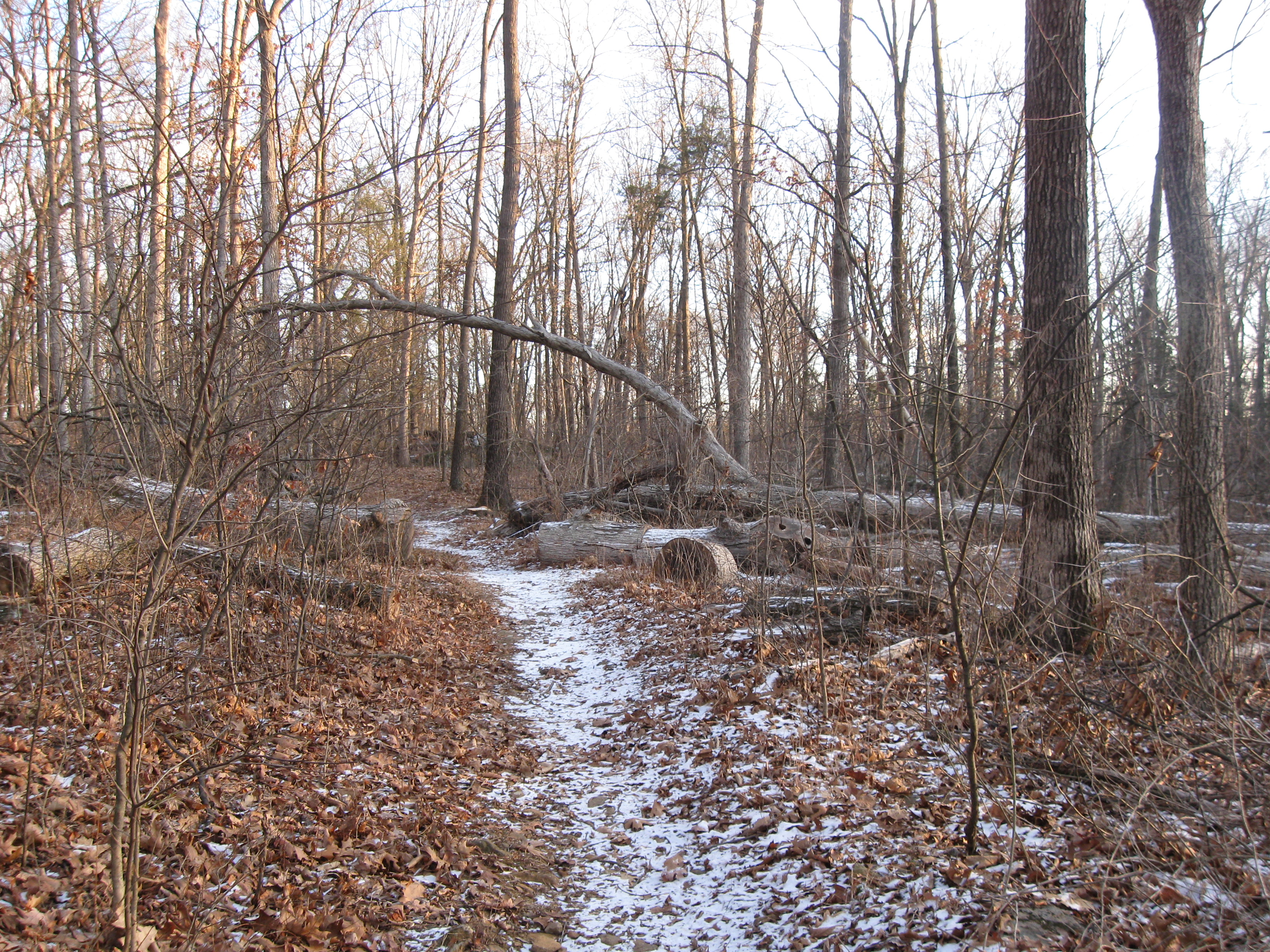
After a few yards the trail continues to the right, or goes to the left by the marker to Judson Kilpatrick’s cavalry division. We’ll continue to the right. This view was taken facing south at approximately 4:30 PM on Friday, January 16, 2009.
A little farther up the trail is the witness tree that the NPS cut down. This view was taken facing south at approximately 4:30 PM on Friday, January 16, 2009.
On their web site, the National Park Service makes the following statement in their section on witness trees: “…a number of previously unknown Witness Trees have been identified by the National Park Service during preparatory work for the park’s battlefield rehabilitation efforts. When the park removes nonhistoric trees on the battlefield in major battle action areas to return areas to their 1863 appearance, we preserve Witness Trees.” Some might consider this an interesting way to do that. This view was taken facing southwest at approximately 4:30 PM on Sunday, January 11, 2009.
One of the Gettysburg National Military Park officials told a park neighbor that the trees are being thinned out to promote new growth from deer damage. We’ll show you how many trees they’re cutting down to save new trees from the few “killer deer” left on the battlefield. This view was taken facing southwest at approximately 4:30 PM on Friday, January 16, 2009.
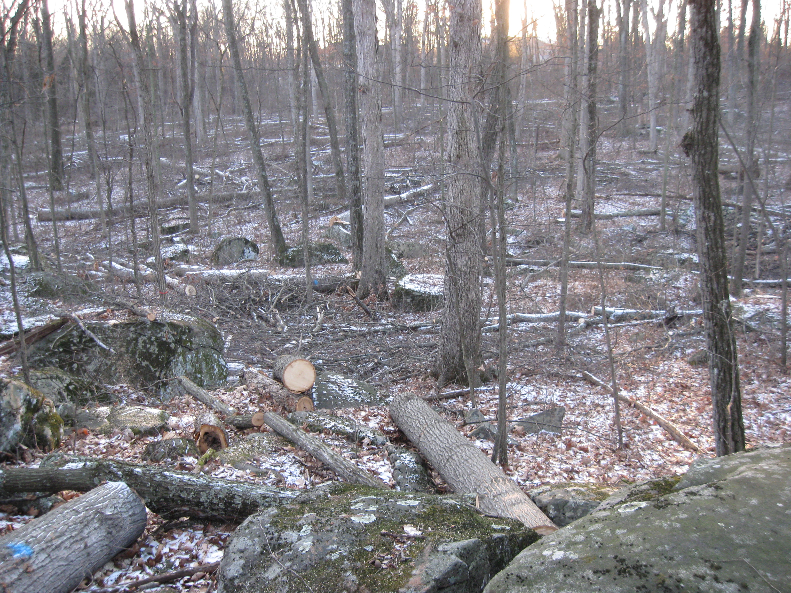
Hundreds of trees have been cut down in this area that was wooded at the time of the battle. We are all for removing the trees from areas where fields existed at the time of the battle, but couldn’t this be described as “overkill?” This view was taken facing west at approximately 4:30 PM on Friday, January 16, 2009.
Some nice big healthy trees are being cut down in an area that was wooded at the time of the battle. This view was taken facing southwest at approximately 4:30 PM on Friday, January 16, 2009.
They’ve opened up the canopy so that the sun can get through and let small saplings that deer might eat grow to adulthood so that they can be cut down some day. This view was taken facing southwest at approximately 4:30 PM on Friday, January 16, 2009.
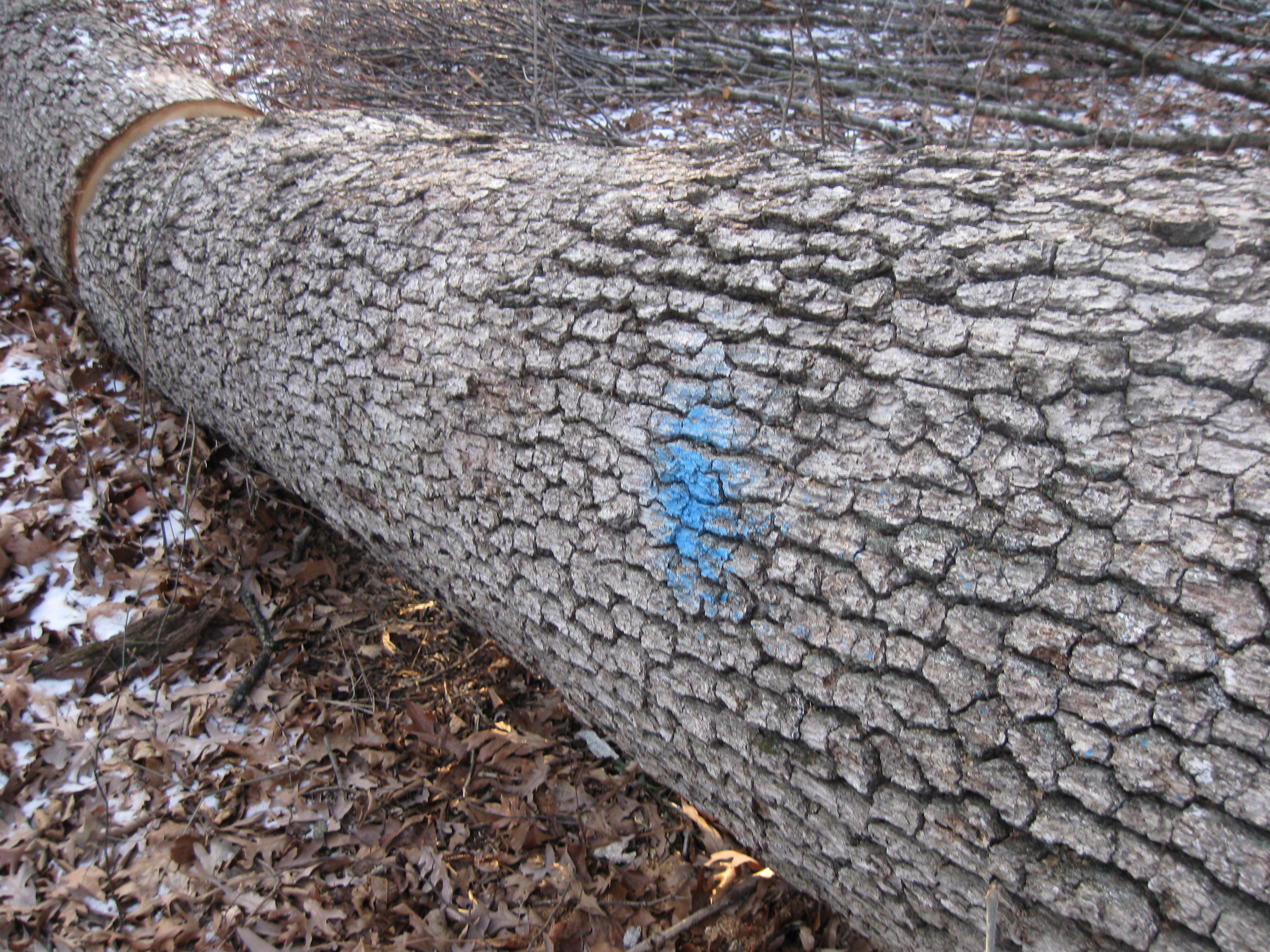
If a tree receives a “blue dot of death”… This view was taken facing south at approximately 4:30 PM on Sunday, January 11, 2009.
…it’s history. This view was taken facing southwest at approximately 4:30 PM on Sunday, January 11, 2009.
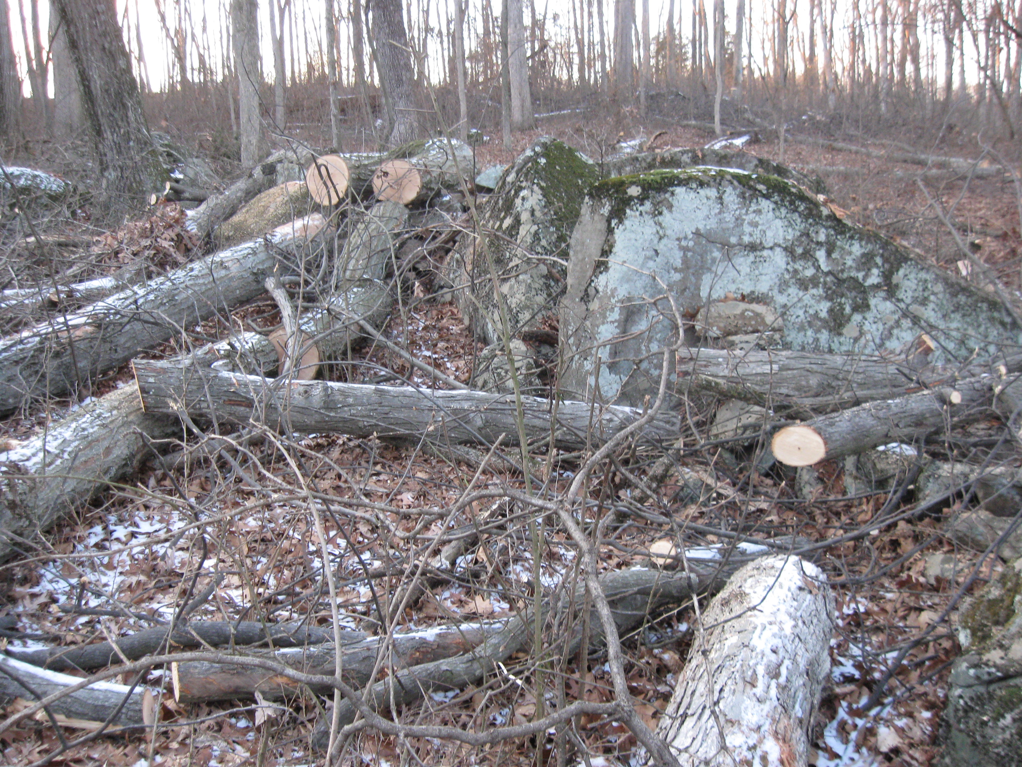
When a tree falls naturally in a National Park, many times, unless it is across a trail, road, or a high traffic area, it is left to naturally decompose where it fell. This view was taken facing southeast at approximately 4:30 PM on Sunday, January 11, 2009.
These trees, which have not fallen naturally, are also going to be left to decompose. Is this natural? This view was taken facing southeast at approximately 4:30 PM on Friday, January 16, 2009.
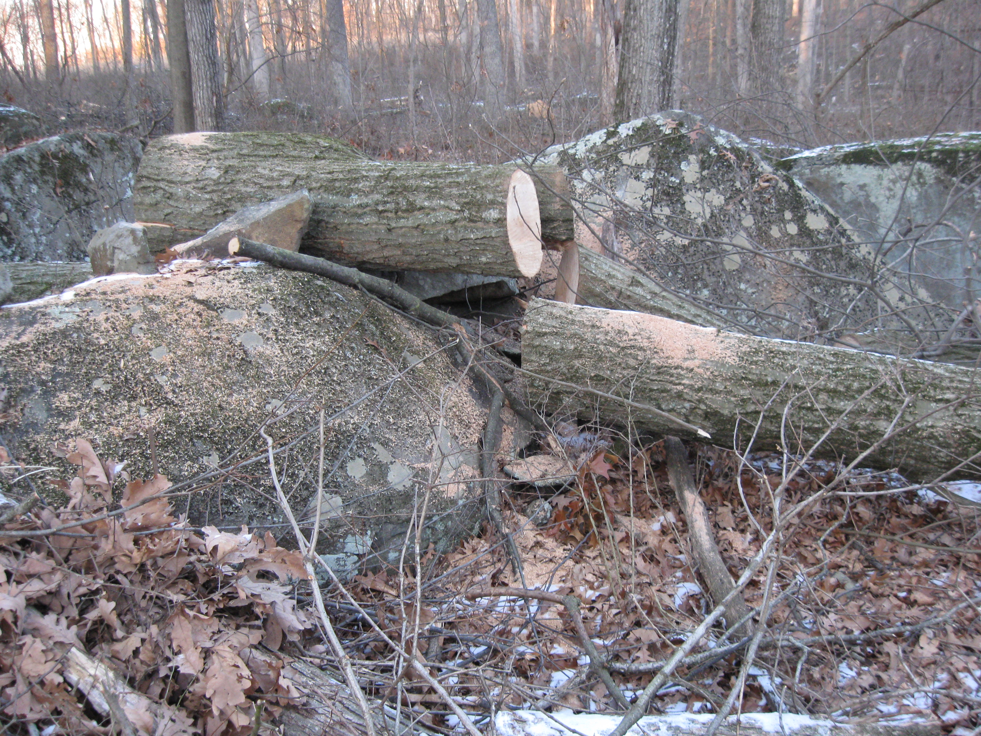
Again, we’re not experts on this procedure, but does anyone else out there think one is creating a lot of fuel for a potential fire in this debris field? This view was taken facing southwest at approximately 4:30 PM on Friday, January 16, 2009.
Not that there would be any chance of a fire because we are sure that the National Park Service and/or their contractor(s) are being very careful to minimize the chance of a fire ever starting. This view was taken facing southwest at approximately 4:30 PM on Sunday, January 11, 2009.
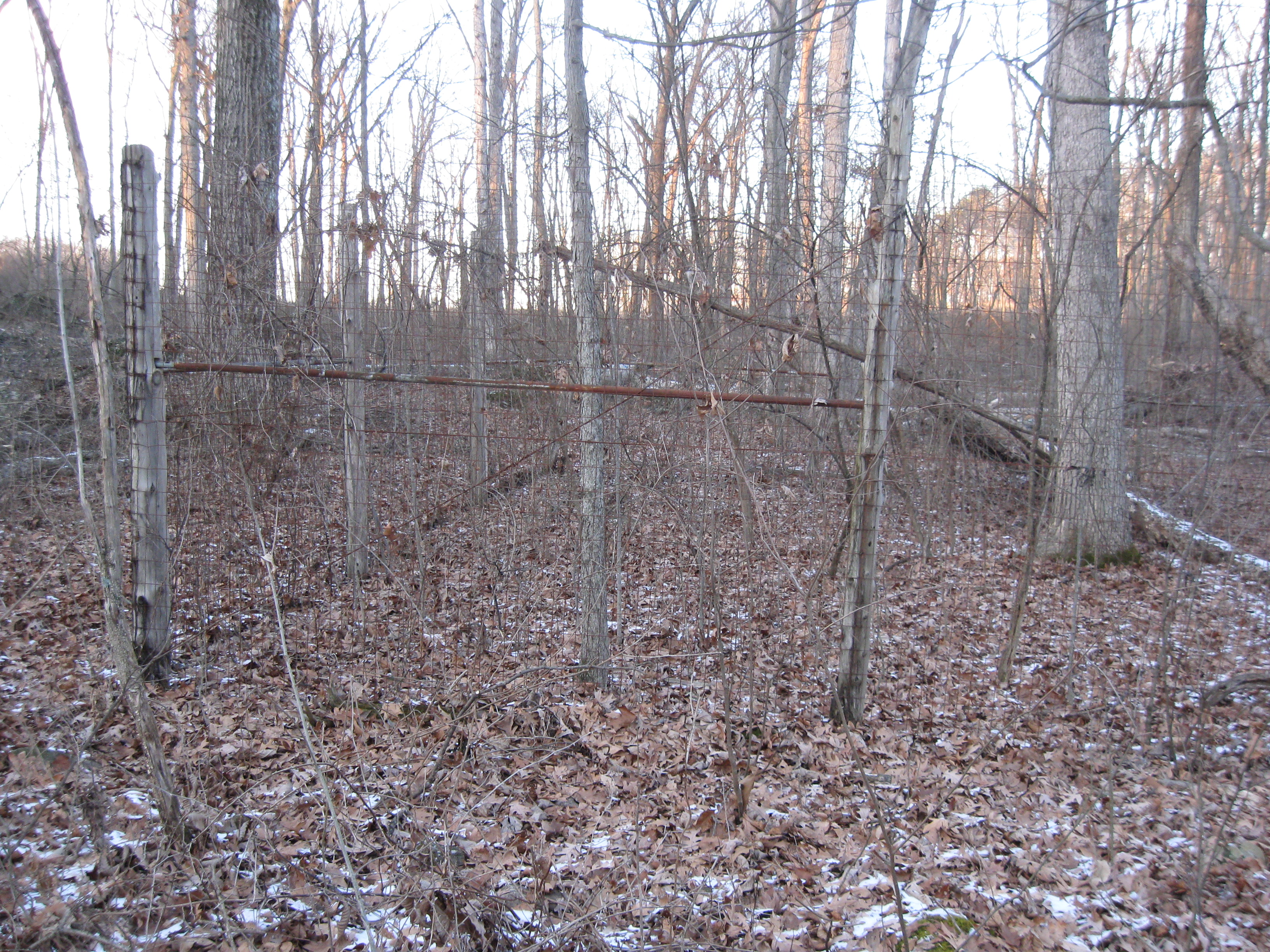
The National Park Service has stated that the cutting of healthy trees in this area has nothing to do with the location of this pen where they keep deer that they have rounded up during “deer kill season.” This view was taken facing north at approximately 4:30 PM on Friday, January 16, 2009.
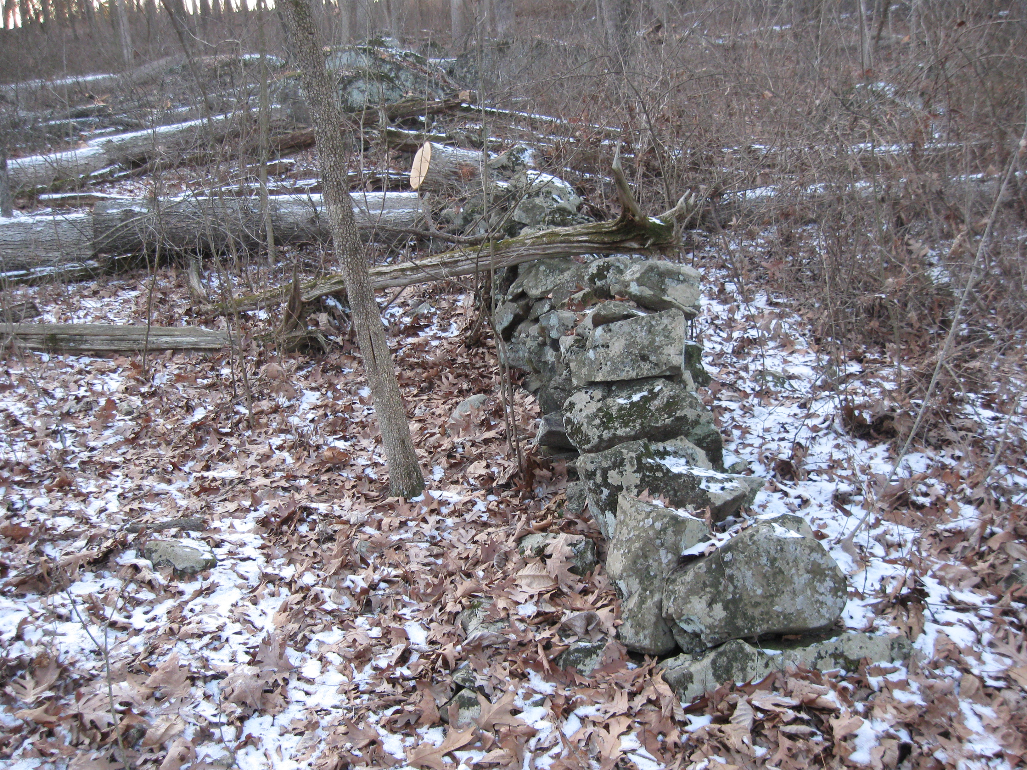
Near the deer pen is the beginning of a stone wall, that even the NPS officials who came to this site a few days ago, admit wasn’t sturdily built as by a farmer. Some historians believe it was a stone wall hurriedly constructed by Confederate soldiers. We’re not going to get into the controversy about the Battle of South Cavalry Field in this area… This view was taken facing west at approximately 4:30 PM on Friday, January 16, 2009.
… but the National Park Service has been indiscriminately dropping trees on this wall. This view was taken facing southwest at approximately 4:30 PM on Friday, January 16, 2009.
Where whoever built the stone wall attempted to integrate it with the larger rocks in the area is where one of the largest trees fell across the wall. This view was taken facing northwest at approximately 4:30 PM on Friday, January 16, 2009.
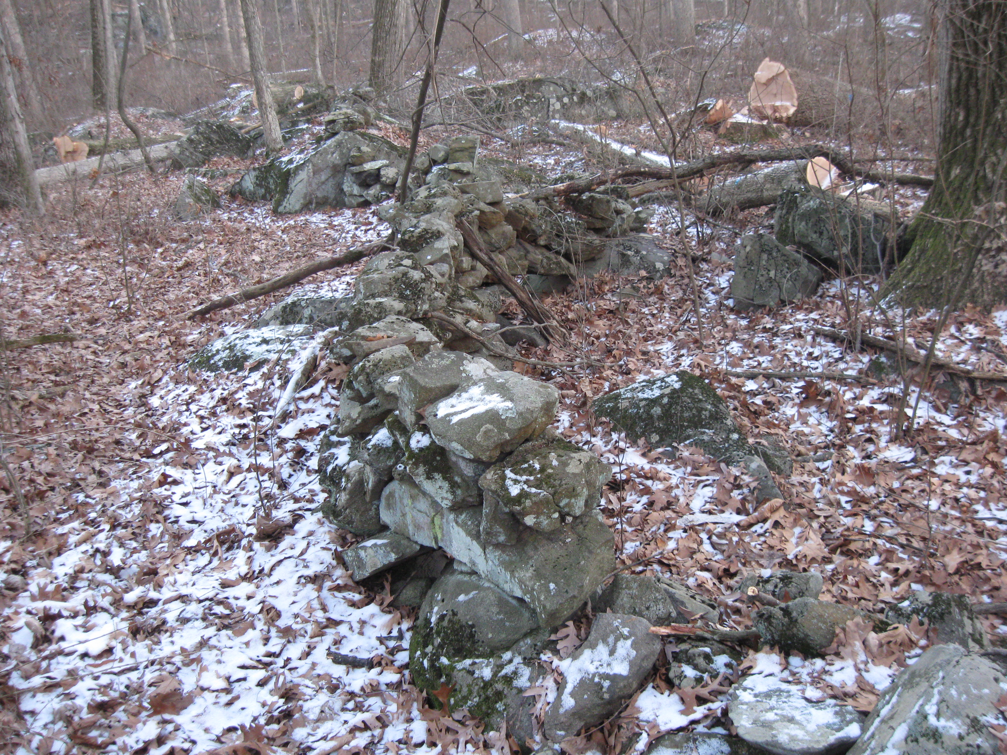
Very few people visit this area. Some of these rocks that may have been here a long time, and possibly haven’t been moved since the day they were put in place, have now been scattered by the falling trees. This view was taken facing north at approximately 4:30 PM on Sunday, January 11, 2009.
In some places, this is still a pristine stone wall. This view was taken facing east at approximately 4:30 PM on Sunday, January 11, 2009.
We expect to be back later with more documentation of fallen witness trees in this area. After all, the evidence has been left all around us. This view was taken facing southeast at approximately 4:30 PM on Sunday, January 11, 2009.
See our previous posts on Gettysburg Witness Trees: