
Following the sparse treeline running from the right to center of this view, are the newly uncovered earthworks. This view was taken facing southwest at approximately 2:40 PM on Wednesday, April 27, 2011.
We last visited the McMillan Woods tree clearing project back in December. The clearing project is mostly complete, and we’re finally afforded a more clear picture of the 300 yards of earthworks uncovered in the aftermath of the clearing. We’ll follow the earthworks to the best of our ability in today’s post.

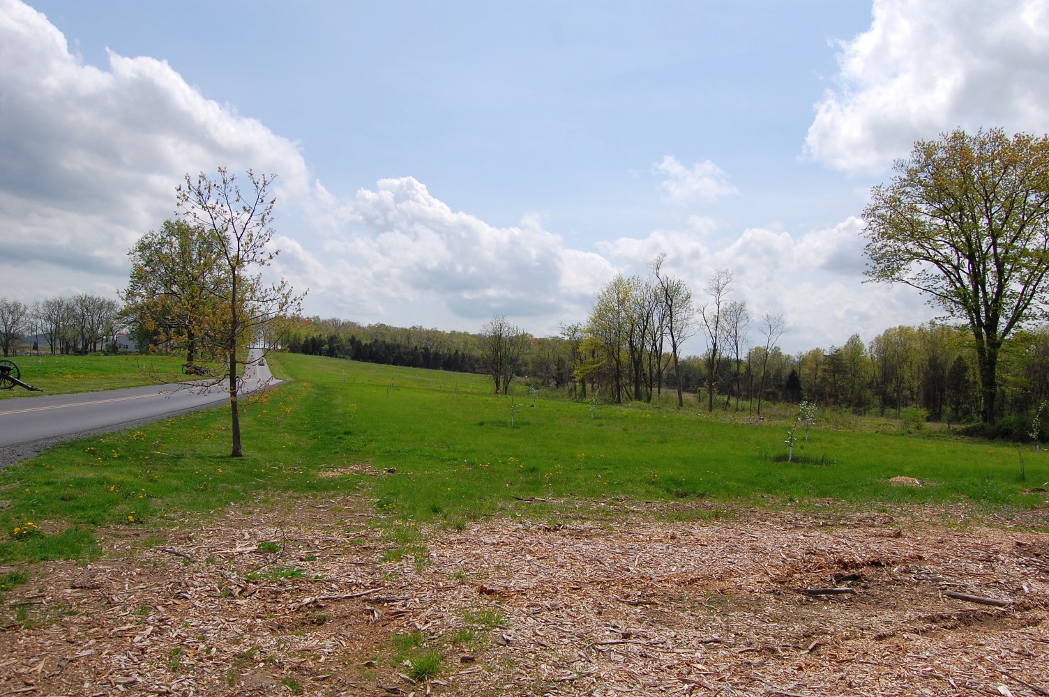
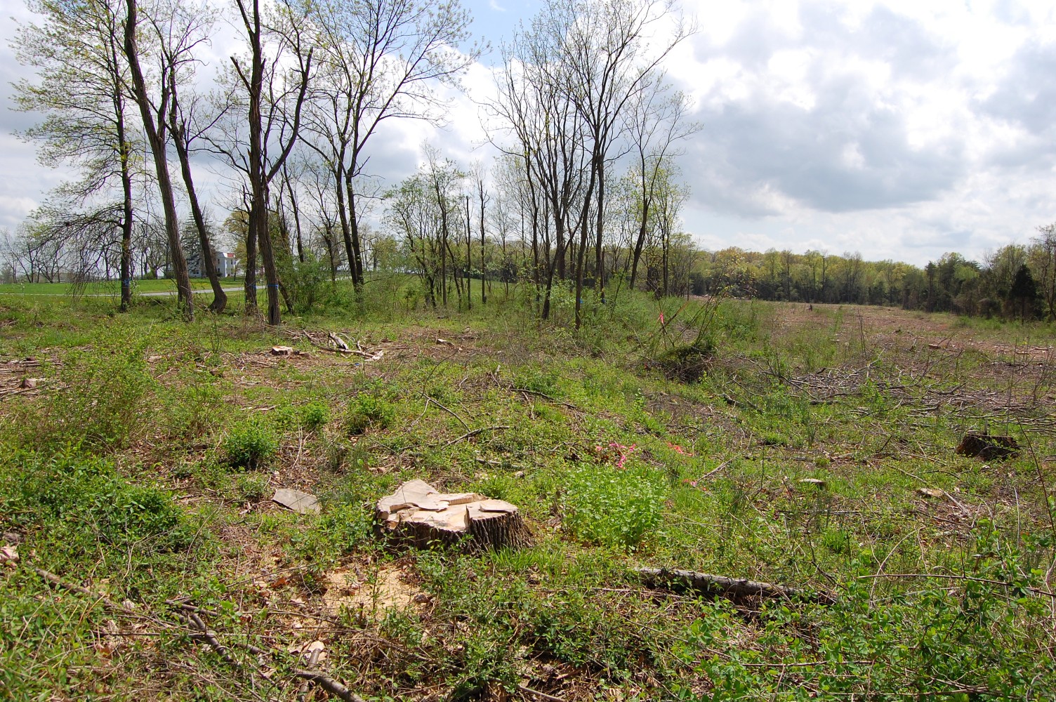
We’ll enter here, just to the south of Shultz Woods, in the right-hand portion of this view. This view was taken facing west at approximately 2:40 PM on Wednesday, April 27, 2011.
If the earthworks did stretch from the rock wall here, to the left-hand portion of this view, they’ve long since lost definition. This view was taken facing west at approximately 2:40 PM on Wednesday, April 27, 2011.

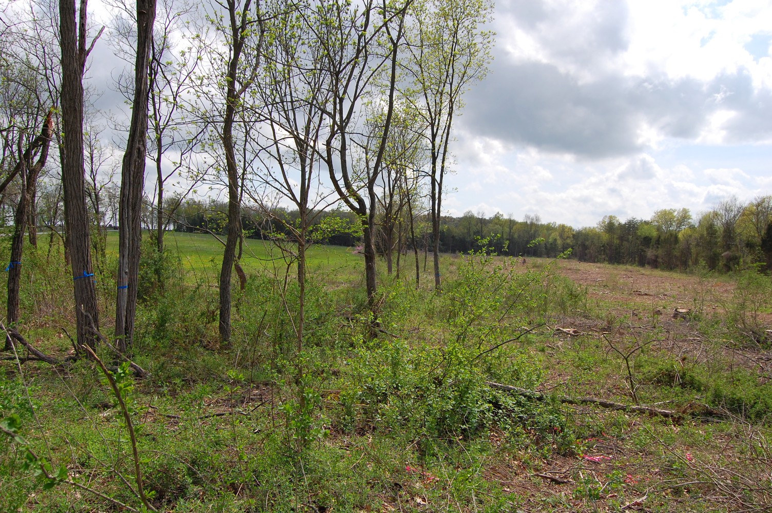
If you do plan on visiting this area, the blue flags that the National Park Service and contractors used to mark this area so the tree-cutting equipment wouldn’t intrude are quite helpful. The earthworks stretch from north to south and from bottom to top of this view. This view was taken facing southwest at approximately 2:40 PM on Wednesday, April 27, 2011.
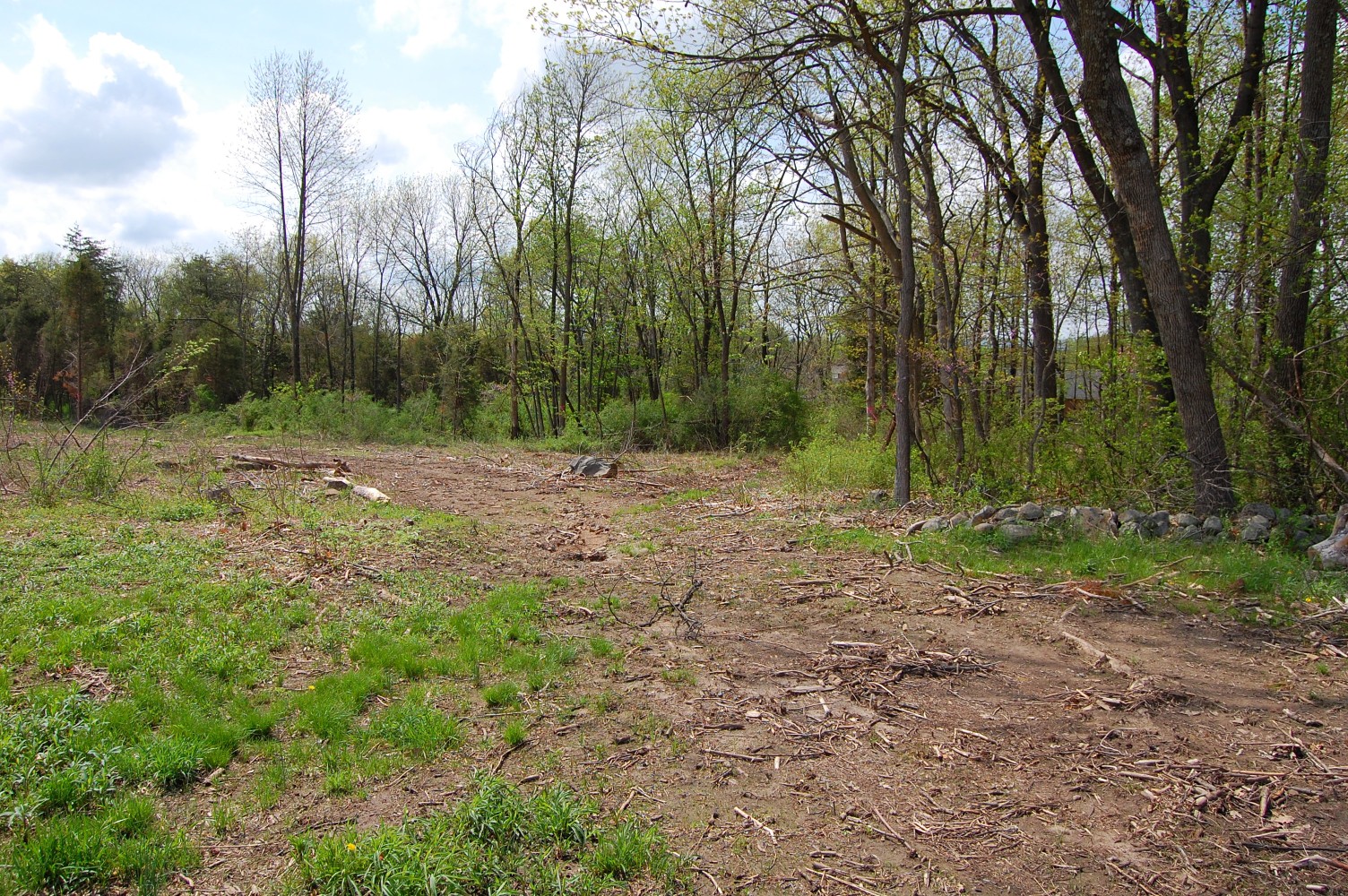
We’re now standing on the west side of the earthworks, where the definition is more clear. This view was facing east at approximately 2:40 PM on Wednesday, April 27, 2011.
The earthworks are again in the center of this view, and the dip to the east and west is clear. This view was facing southwest at approximately 2:40 PM on Wednesday, April 27, 2011.
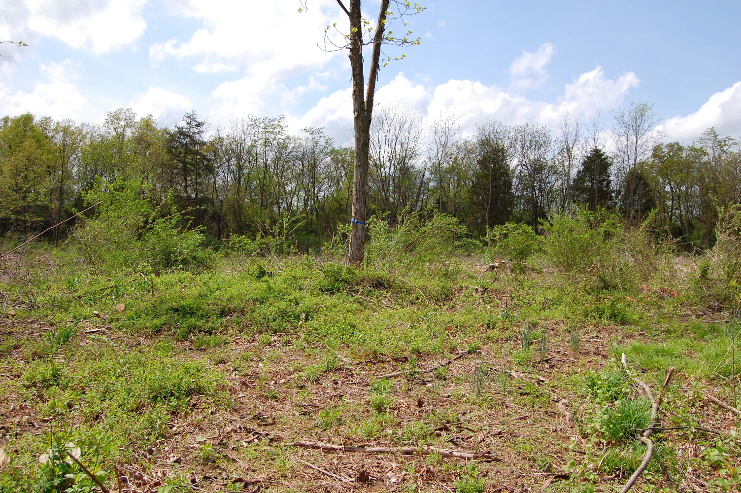
We’ll continue to follow the earthworks — they will be in the center of the view running from top to bottom in the next few photos. This view was taken facing southwest at approximately 2:40 PM on Wednesday, April 27, 2011.
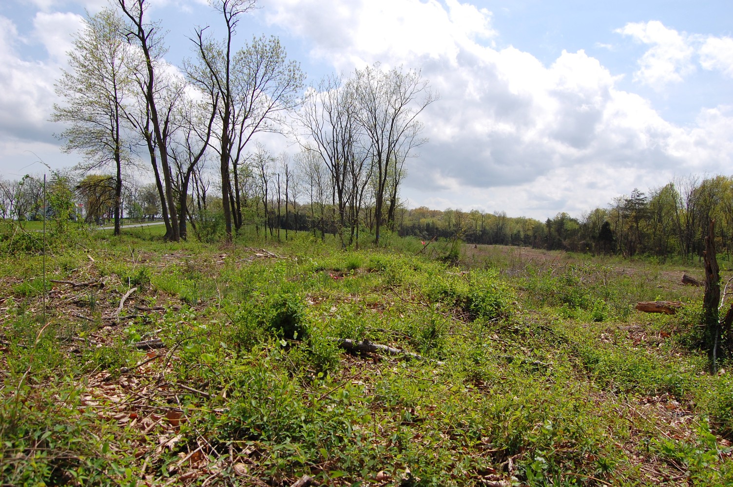
This view was taken facing southwest at approximately 2:40 PM on Wednesday, April 27, 2011.

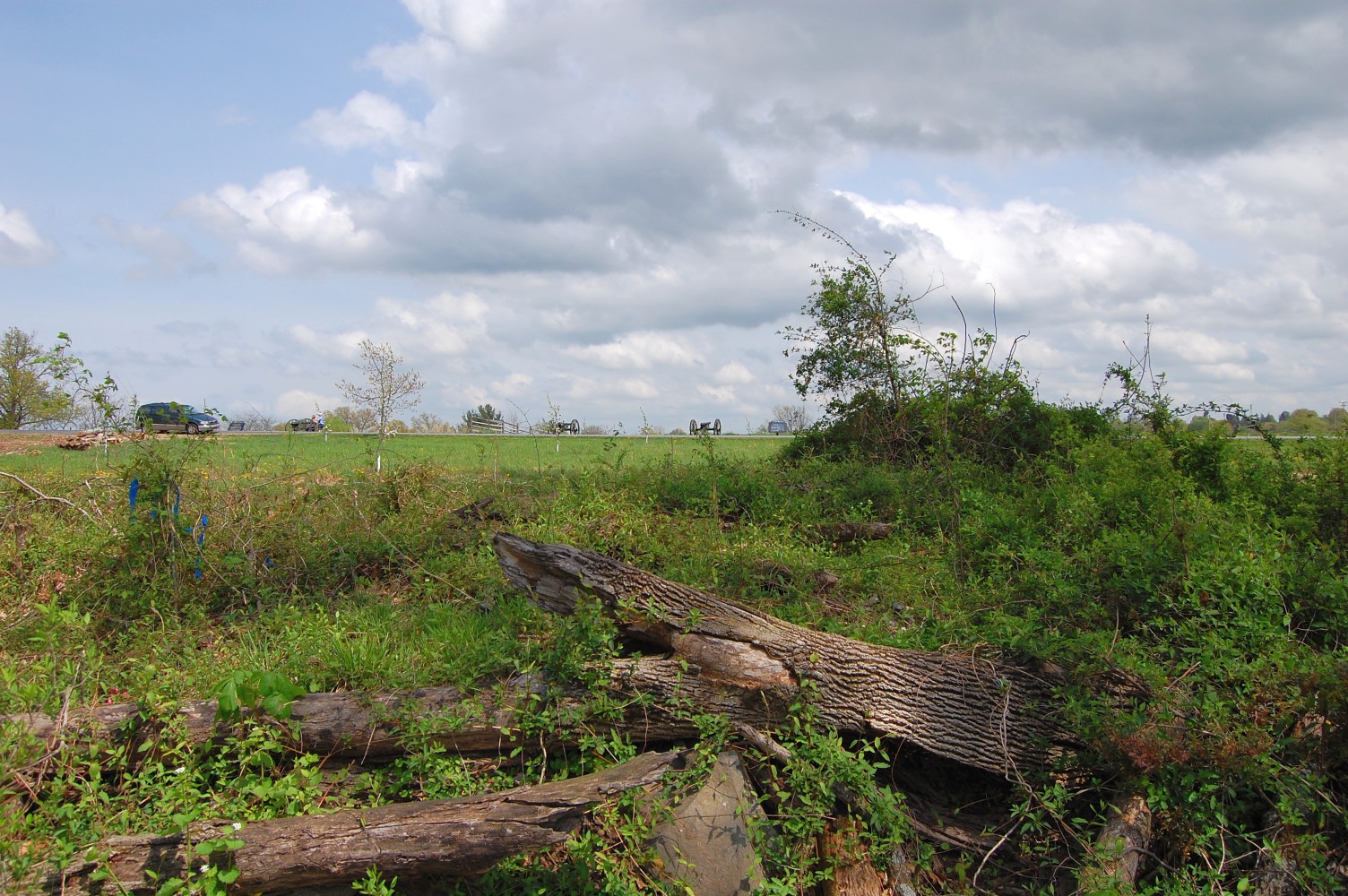
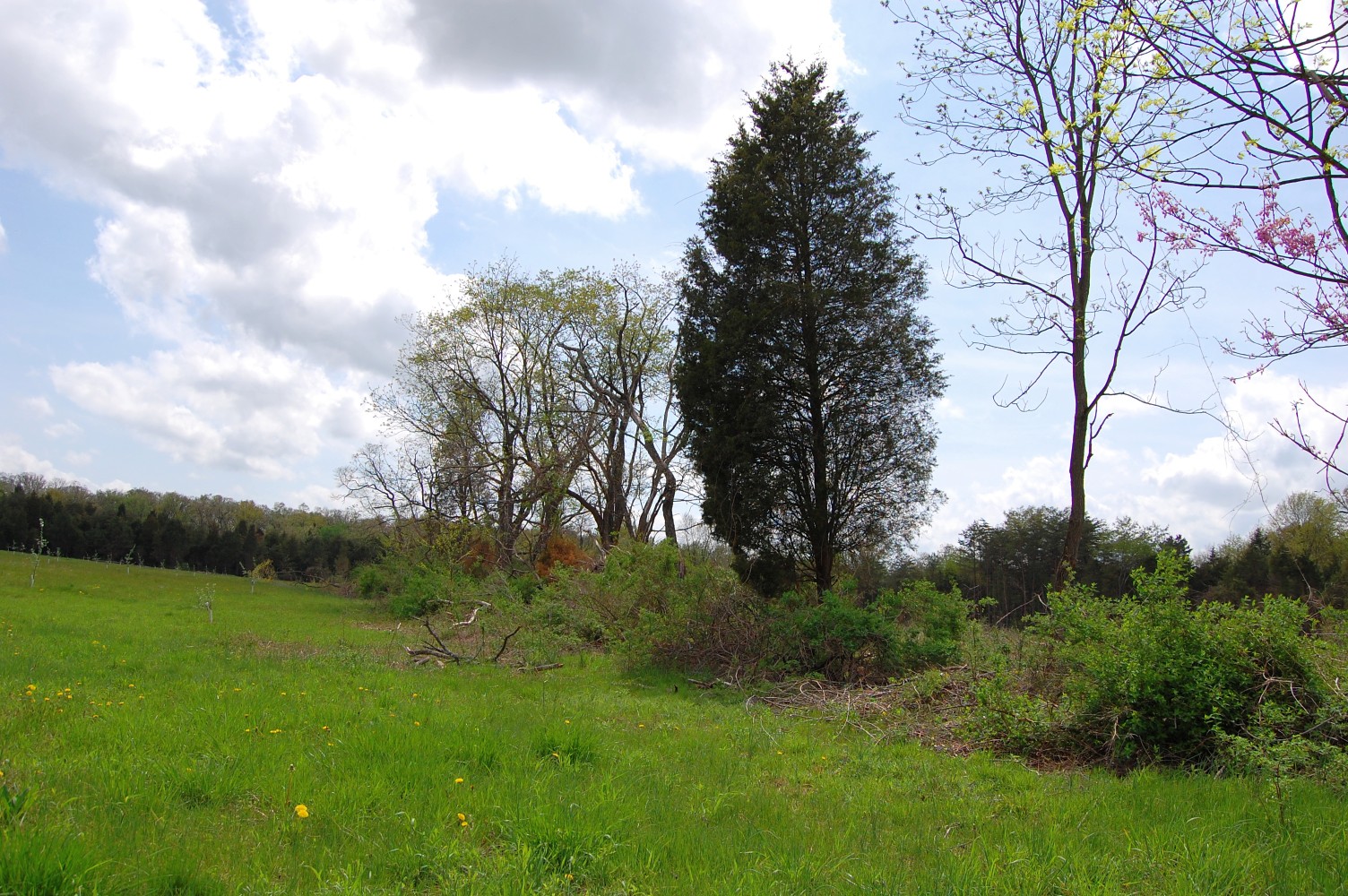
The National Guard Armory is just visible in the right background of this photo. This view was taken facing northeast at approximately 2:40 PM on Wednesday, April 27, 2011.

This view was taken facing southwest at approximately 2:40 PM on Wednesday, April 27, 2011.
We’re now standing on the east side of the earthworks — they are in the center of this view, but running horizontally from left to right. This view was taken facing west at approximately 2:40 PM on Wednesday, April 27, 2011.
This view was taken facing southwest at approximately 2:40 PM on Wednesday, April 27, 2011.

This view was taken facing north at approximately 2:40 PM on Wednesday, April 27, 2011.

This view was taken facing southwest at approximately 2:40 PM on Wednesday, April 27, 2011.
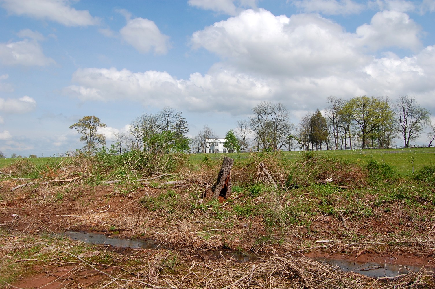
Towards the southernmost end, the earthworks begin to lose definition again. The McMillan House is in the center background. This view was taken facing northeast at approximately 2:40 PM on Wednesday, April 27, 2011.

We’ll follow down the end of the line in order to get a parting shot … This view was taken facing southwest at approximately 2:40 PM on Wednesday, April 27, 2011.
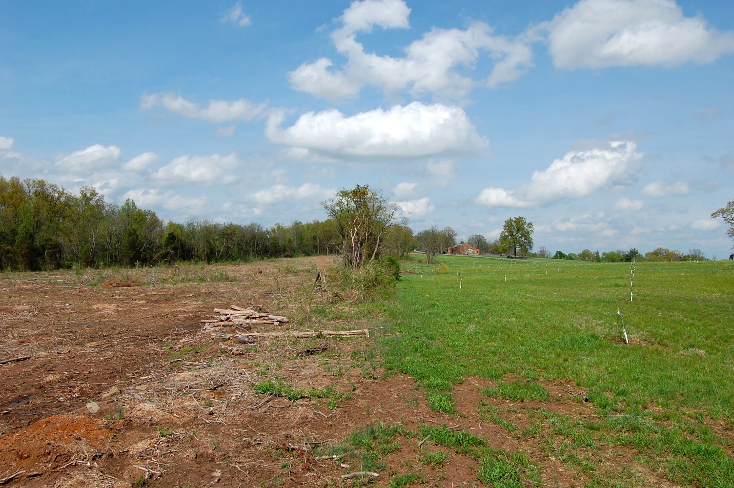
… that shows the cleared area of trees on the left and the McMillan orchard on the right, with the earthworks splitting the two sections of ground. This view was taken facing north at approximately 2:40 PM on Wednesday, April 27, 2011.