

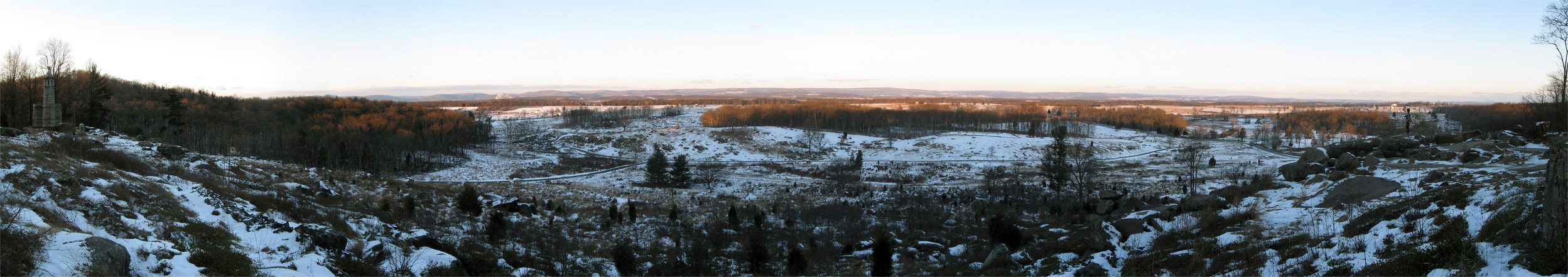
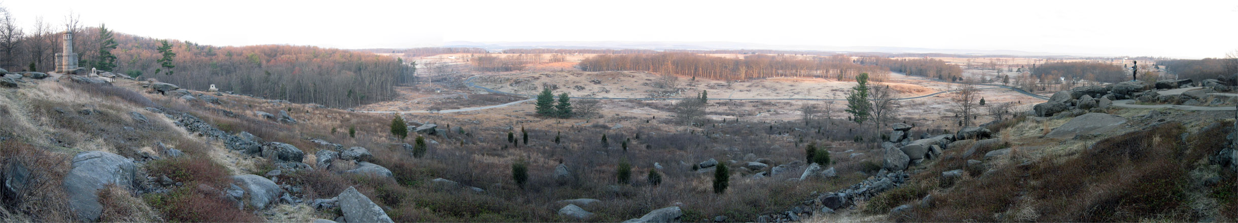
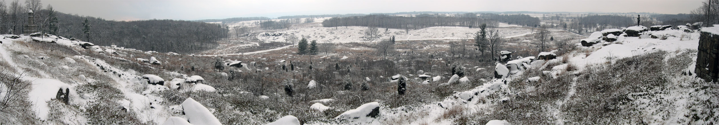
Our latest panoramic update of the change of seasons from Little Round Top. This view was taken at approximately 1:20 PM on Monday, January 25, 2010. For a medium-sized version of the panorama click here. For the larger JPEG version, click here. If you’d like to see the uncompressed TIFF file, you can download it here (28.0 MB).
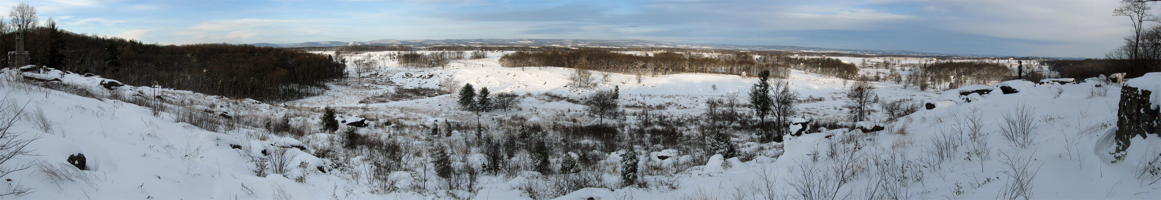
In an effort to contrast yesterday’s view of the flooding in the Plum Run Valley, we decided an update from higher ground was in order. Compare the top panorama to the panoramas below to get a better idea of how significant the flooding was. The left side of the photograph is pointing to the south and southwest. The center is pointing to the west, and the right is pointing to the northwest and north.
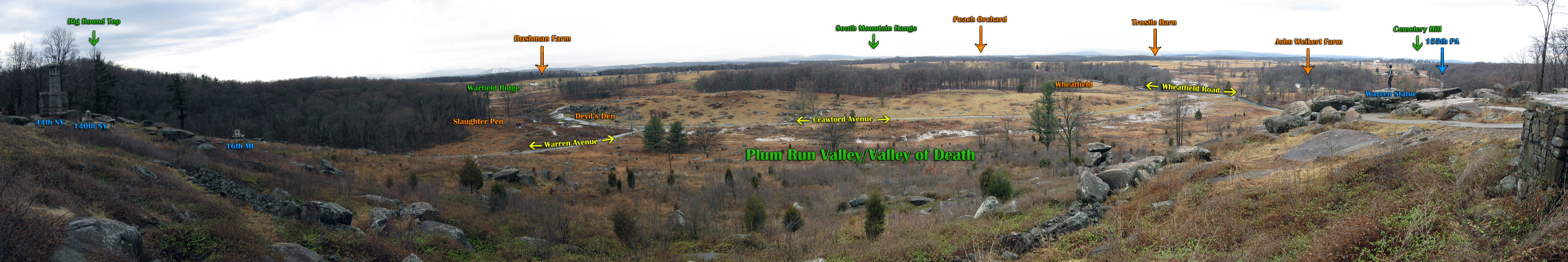
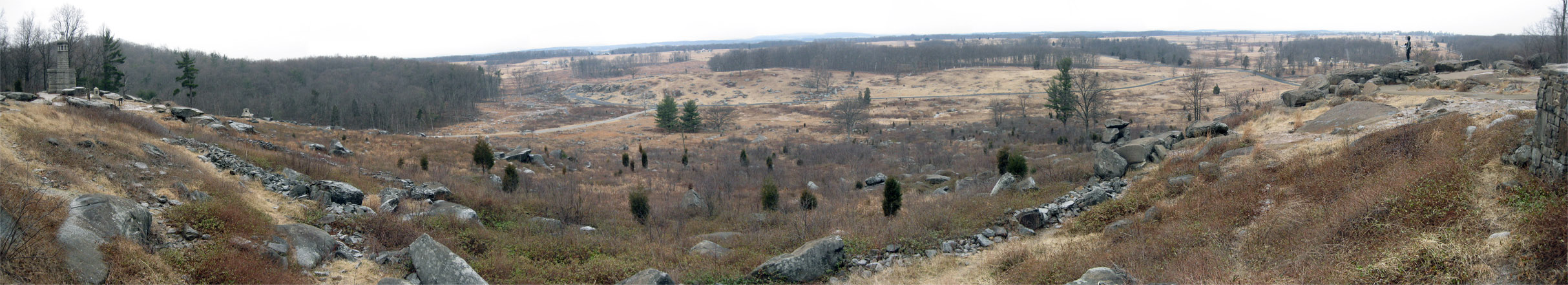
Our latest panoramic update from Little Round Top with some labels. This view was taken at approximately 1:20 PM on Monday, January 25, 2010.
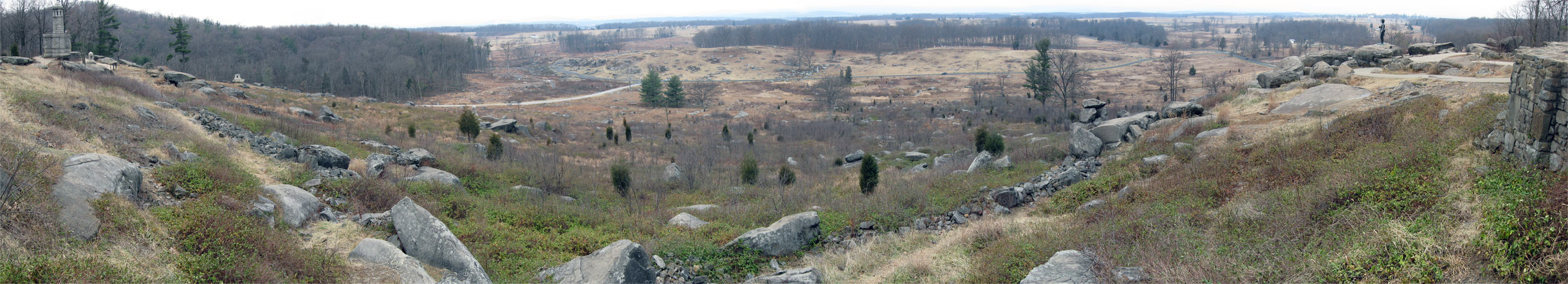
January 9, 2010.
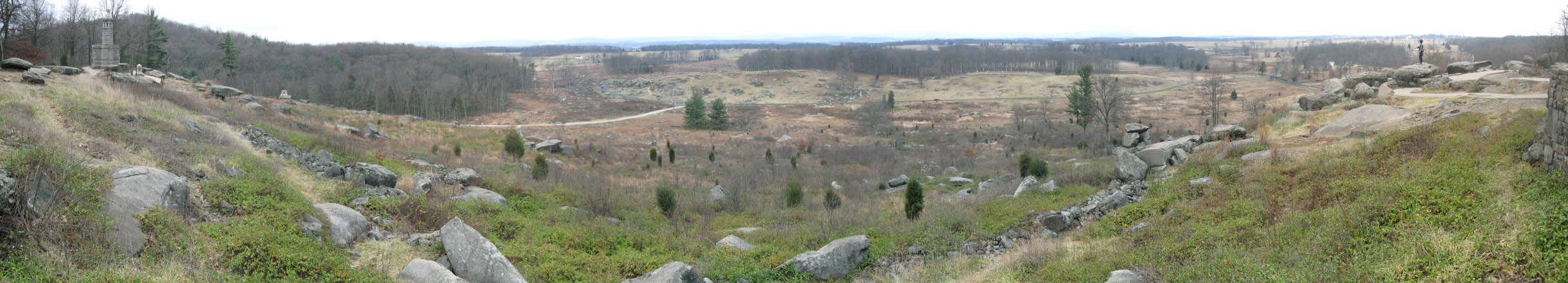
December 20, 2009.

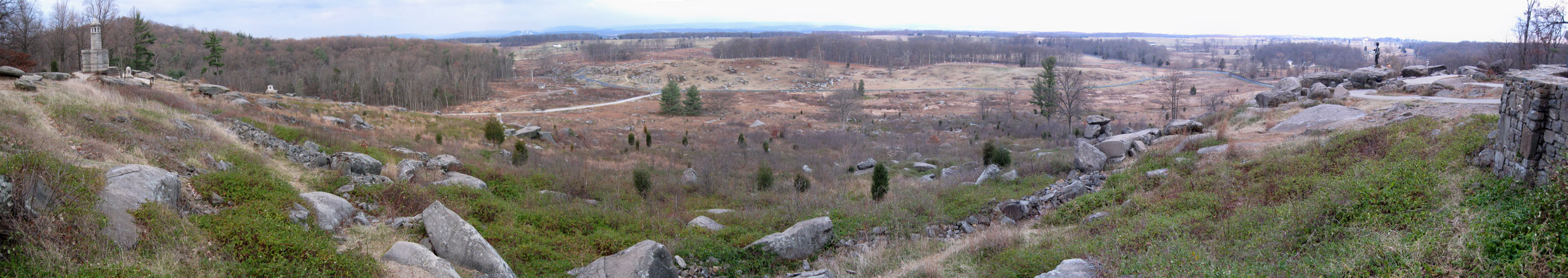
December 6, 2009.

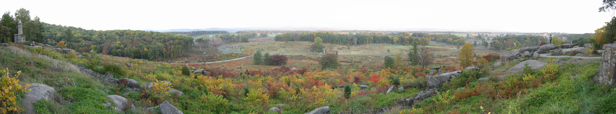
November 7, 2009.

October 10, 2009.

September 6, 2009.
August 13, 2009.
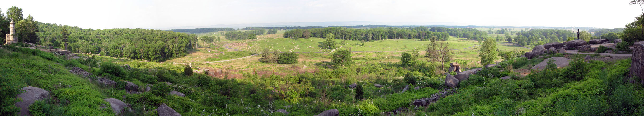
July 18, 2009.

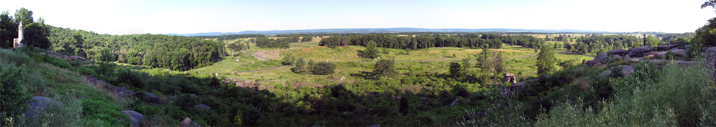
June 27, 2009.
May 23, 2009.

April 24, 2009.
March 22, 2009.
February 22, 2009.

January 24, 2009.
January 19, 2009.
January 10, 2009.

January 4, 2009.

December 27, 2008.
December 20, 2008.
December 13, 2008.

December 7, 2008.

November 29, 2008.

November 23, 2008.

November 16, 2008.

November 8, 2008.

November 1, 2008.

October 25, 2008.

October 18, 2008.
October 11, 2008.

October 4, 2008.