
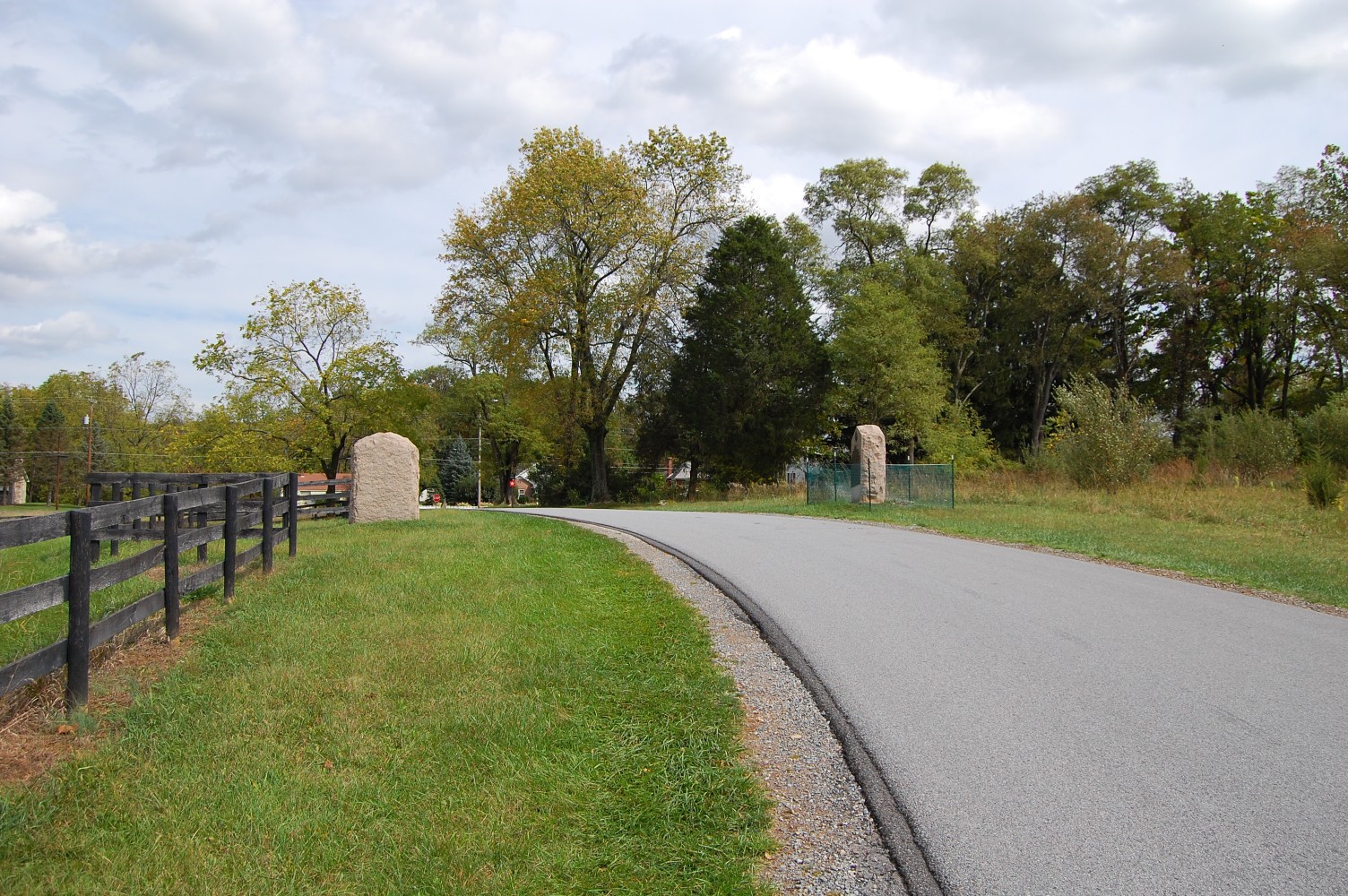
Another monument on the battlefield has been struck by a vehicle in the past weeks. This view was taken facing southeast at approximately 1:35 PM on Tuesday, September 28, 2010.
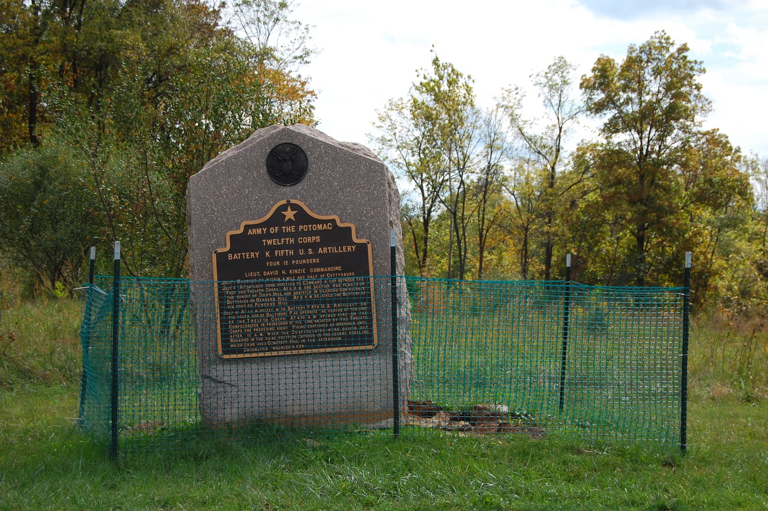
With our recent coverage of the 74th Pennsylvania Monument being struck by a vehicle, it also came to our attention that Kinzie’s 5th US Artillery marker had also been struck within the last month on Hunt Avenue. The National Park Service may consider moving this marker or making attempts to protect it by other means.
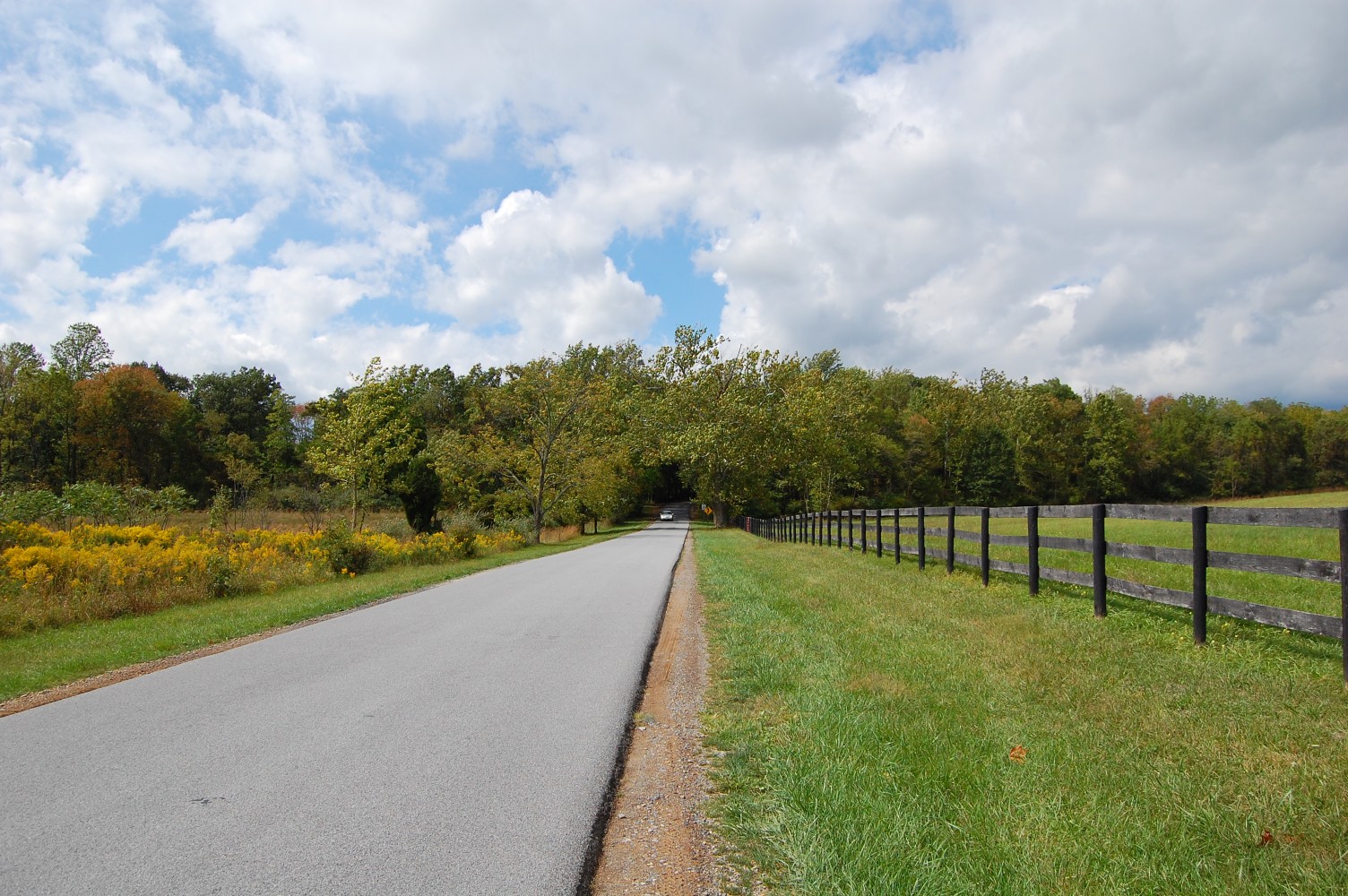
Hunt Avenue, much like West Howard Avenue, connects two primary roads — the Taneytown Road and the Baltimore Pike. This view was taken facing northwest at approximately 1:35 PM on Tuesday, September 28, 2010.
And because of this, the road is used quite a bit by locals. This view was taken facing southeast at approximately 1:35 PM on Tuesday, September 28, 2010.
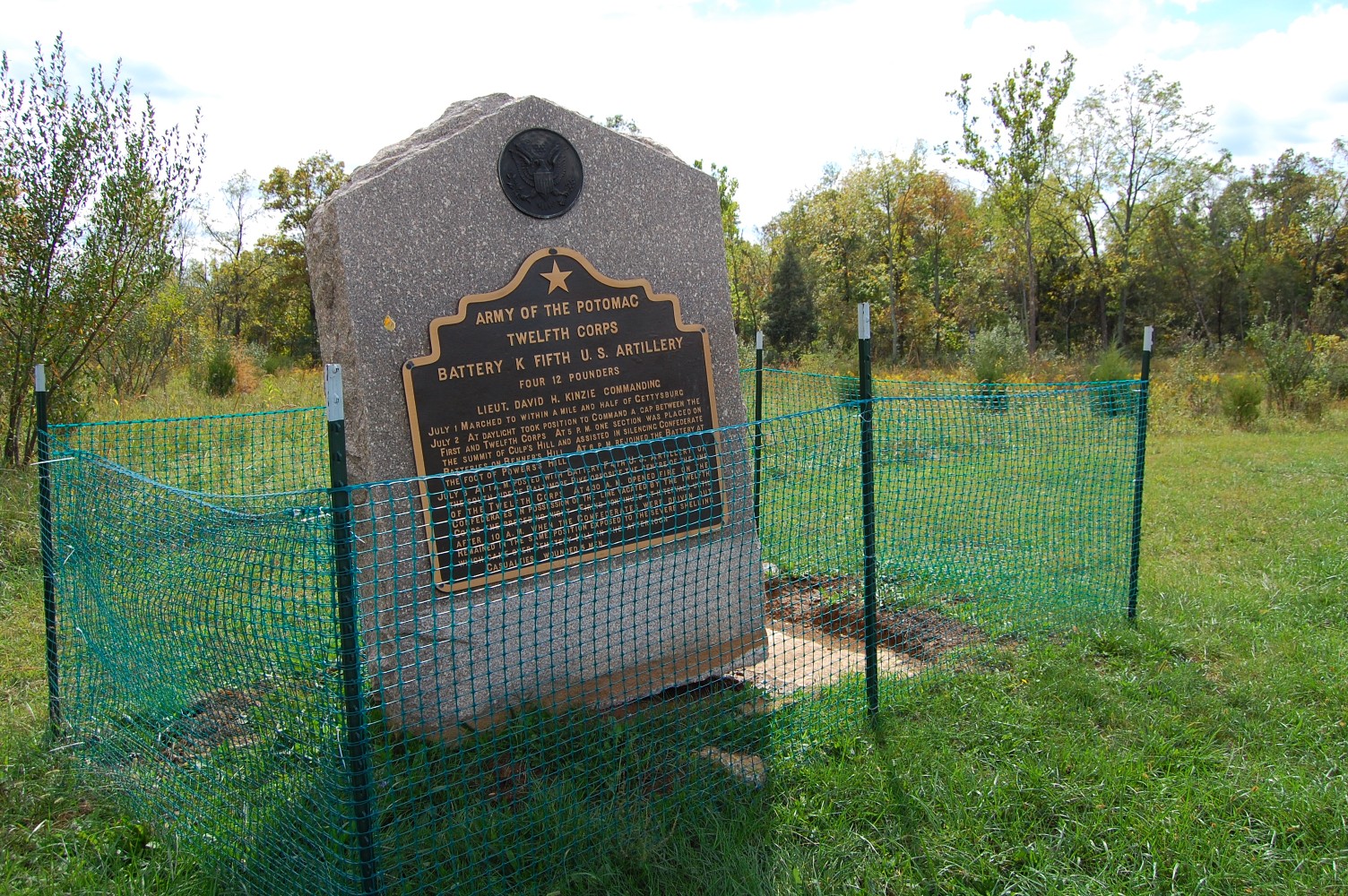
The 5th US Artillery marker (Battery K) is on the right-hand side of the road. It would normally be facing the camera, but has been disturbed about 90 degrees. This view was facing northeast at approximately 1:35 PM on Tuesday, September 28, 2010.
It clearly took a lot of force to disldge and move this monument. This view was taken facing southwest at approximately 1:35 PM on Tuesday, September 28, 2010.
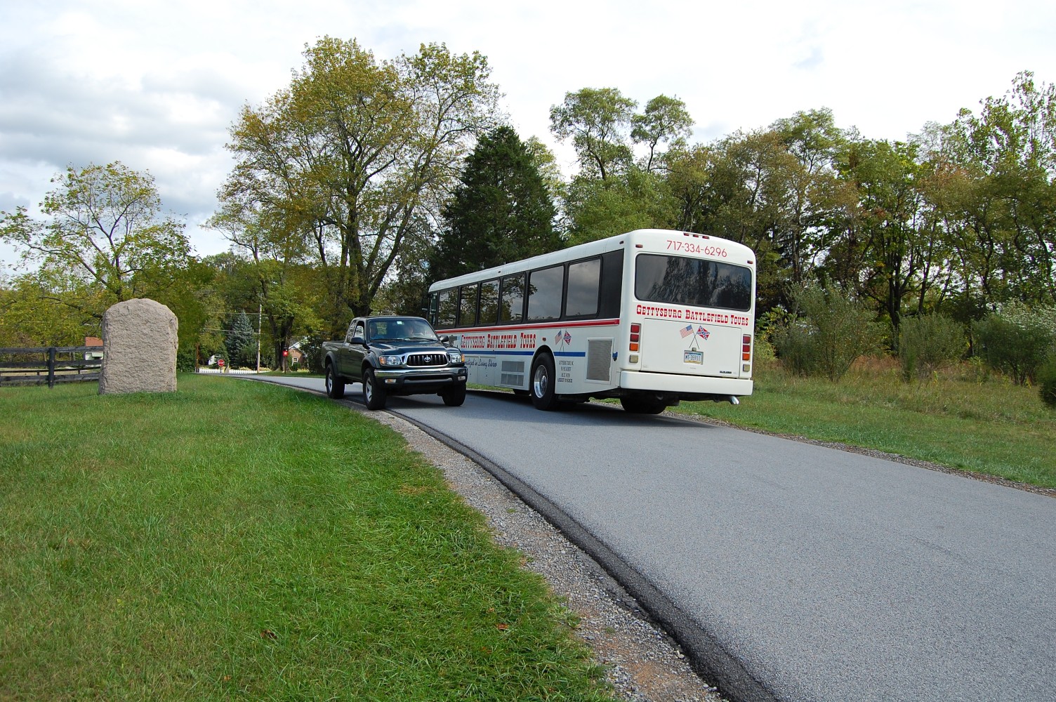
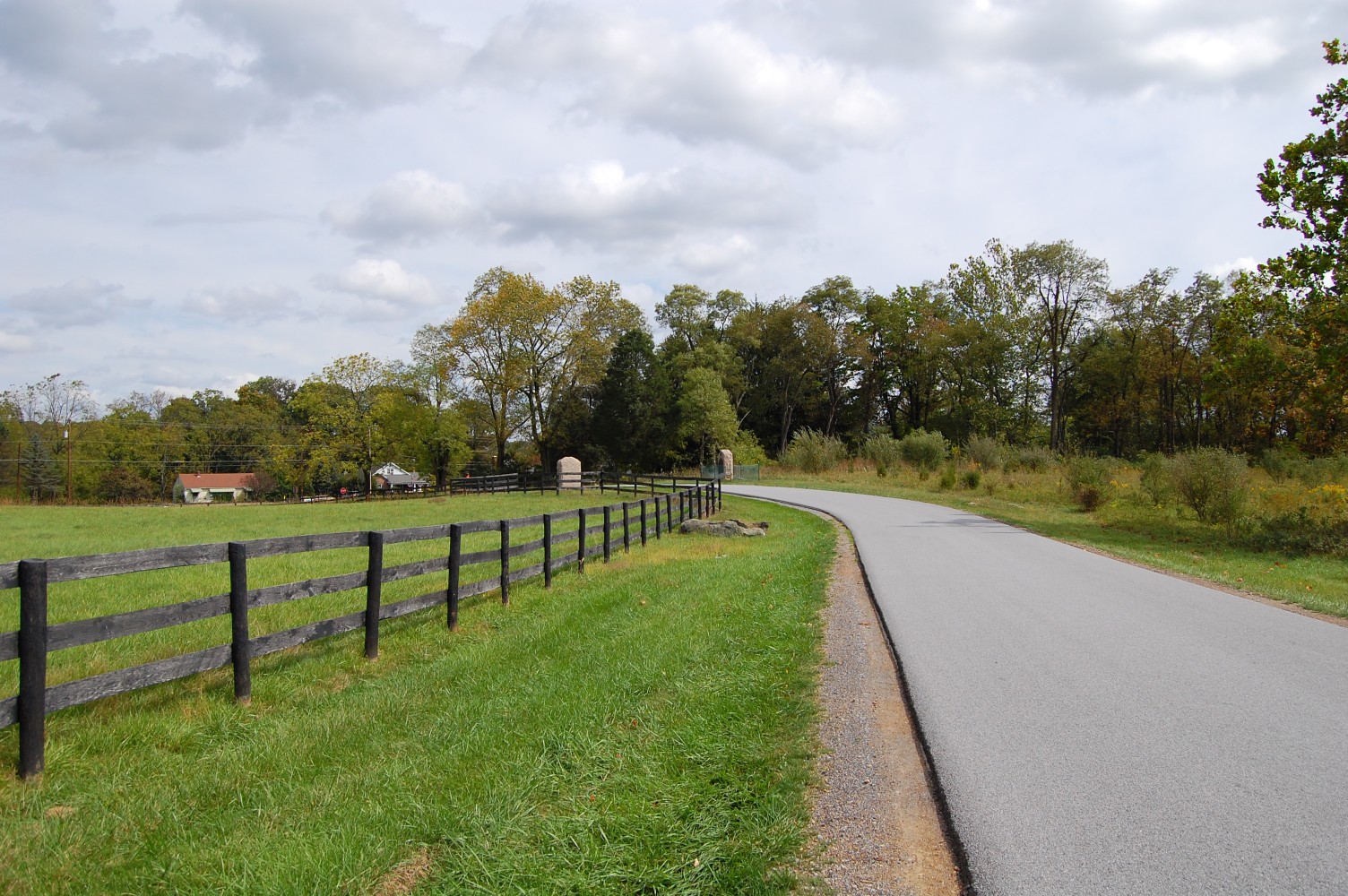
One of the problems is that the road has high amounts of traffic, and that traffic includes buses. The width of the road is also too narrow to accommodate both a bus and a car easily. Rugg’s Battery F 4th US Artillery marker is on the left. This view was taken facing northeast at approximately 1:35 PM on Tuesday, September 28, 2010.

Here’s a view of what would normally be the front side of the monument. This view was taken facing northeast at approximately 1:35 PM on Tuesday, September 28, 2010.

Here’s what would normally be the southeast side of the monument. This view was taken facing northwest at approximately 1:35 PM on Tuesday, September 28, 2010.

Here’s a view of what would normally be the rear of the monument. This view was taken facing southwest at approximately 1:35 PM on Tuesday, September 28, 2010.
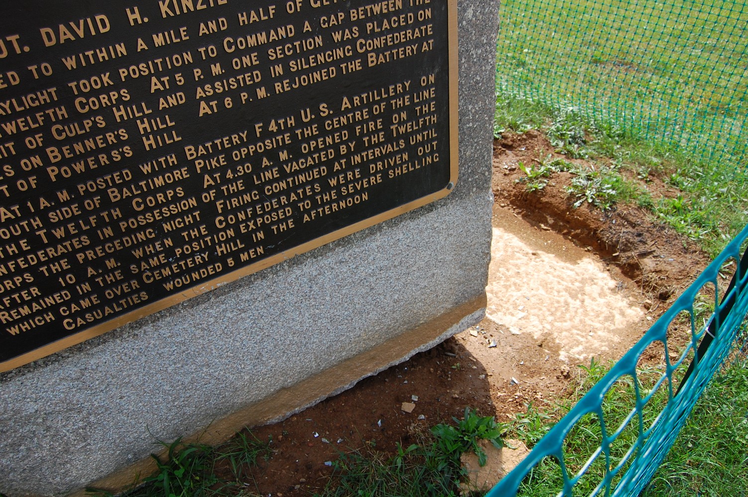
Here’s a closeup view of how the stone has been completely dislodged from its base. This view was taken facing southwest at approximately 1:35 PM on Tuesday, September 28, 2010.

A closeup of the text on the marker. This view was taken facing southwest at approximately 1:35 PM on Tuesday, September 28, 2010.

We hope that the National Park Service does take the necessary steps to adequately protect these historic markers. This view was taken facing southwest at approximately 1:35 PM on Tuesday, September 28, 2010.