

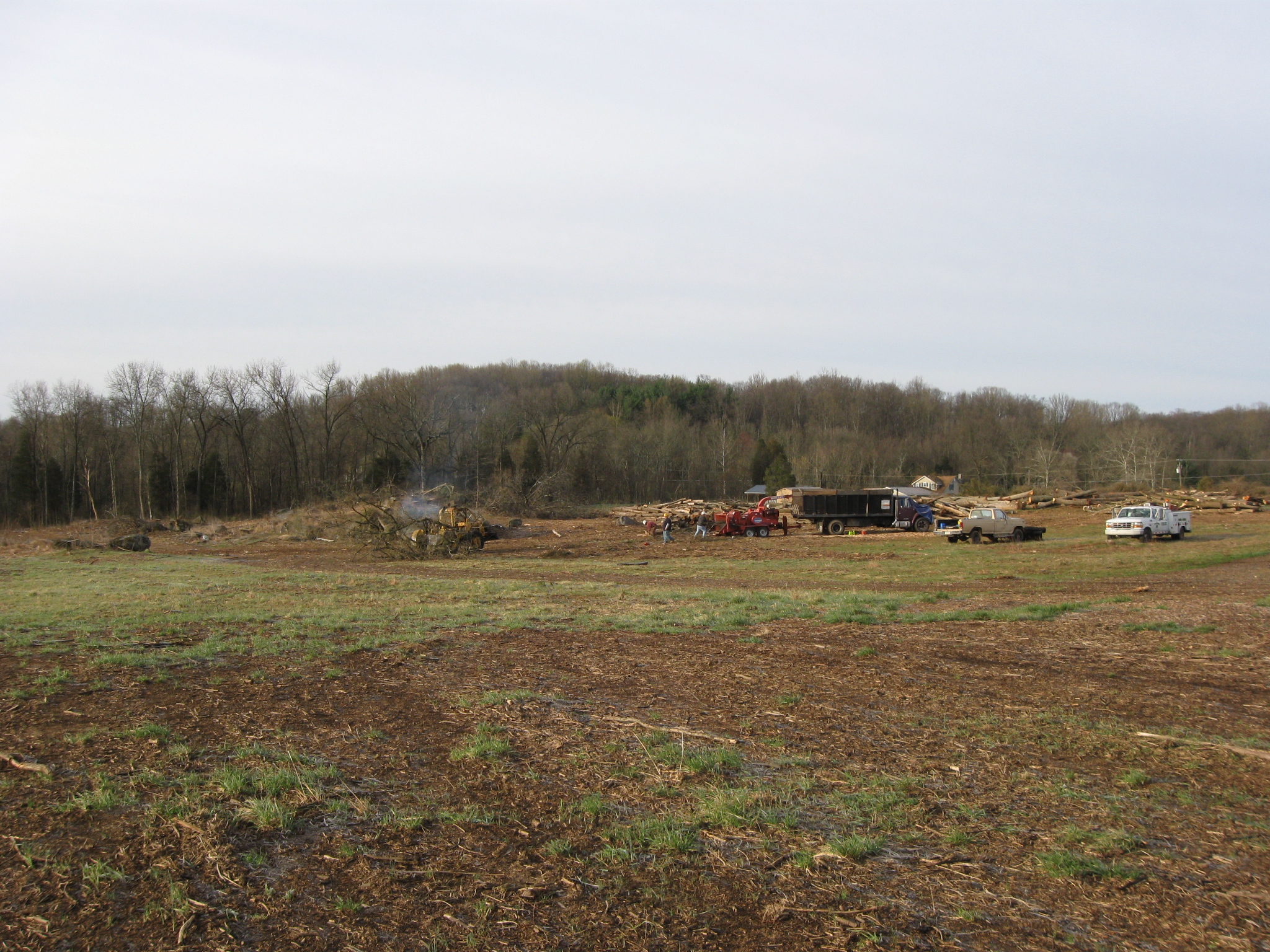
Most of the trees that were on the James McAllister Farm between the Baltimore Pike and Spangler’s Spring have been cut and ground up/mulched. Powers’ Hill is in the background. This view was taken facing southwest at approximately 8:00 AM on Monday, April 13, 2009.
The tree cutting between Baltimore Pike and Spangler’s Meadow, is continuing, but not at a very fast pace. All of the trees between the Pike and the Meadow have not yet been cut down. It doesn’t appear that there is much movement to clear the final trees separating the James McAllister Farm from Henry Spangler’s Meadow.

On this map, we have outlined the area that is being cleared of trees in red. This area is between the Baltimore Pike and the Spangler’s Spring area, and was known as the James McAllister Farm. This map was created facing north at approximately 6:30 PM on Monday, March 9, 2009.
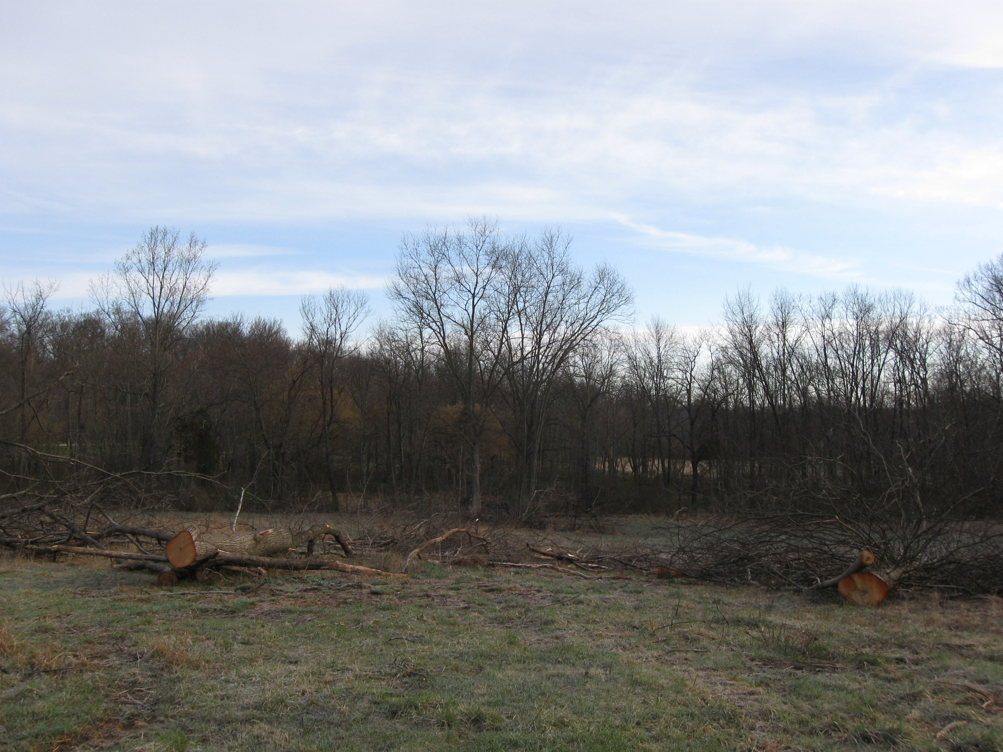
However, we’re waiting for these final trees to be removed between the McAllister Farm and Spangler’s Spring, which is barely visible in the center of this view. Lower Culp’s Hill, or Spangler’s Hill, is visible through the left background. Wolf’s Hill is visible in the right background. McAllister’s Woods is in the right foreground. This view was taken facing northeast at approximately 8:00 AM on Monday, April 13, 2009.
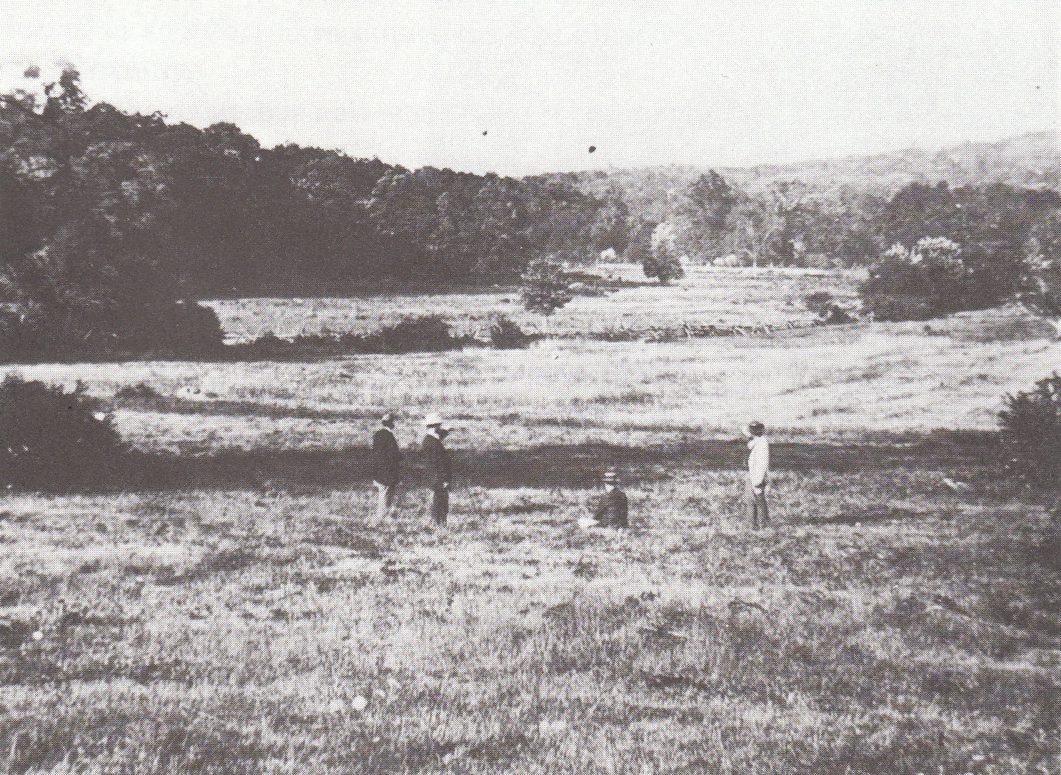
We want this view to be restored. Lower Culp’s Hill (Spangler’s Hill) and Wolf’s Hill are now clearly visible in the background as is Spangler’s Meadow. Two regiments charged out of McAllister’s Woods on the morning of July 3, 1863 towards Lower Culp’s Hill/Spangler’s Hill. The 2nd Massachusetts Infantry Regiment charged from right to left across this open ground. The 27th Indiana charged approximately halfway across Spangler’s Meadow. Both regiments suffered significant losses. This photograph is courtesy of Licensed Battlefield Guide John Archer. This Tyson photograph was taken facing northeast circa 1866.
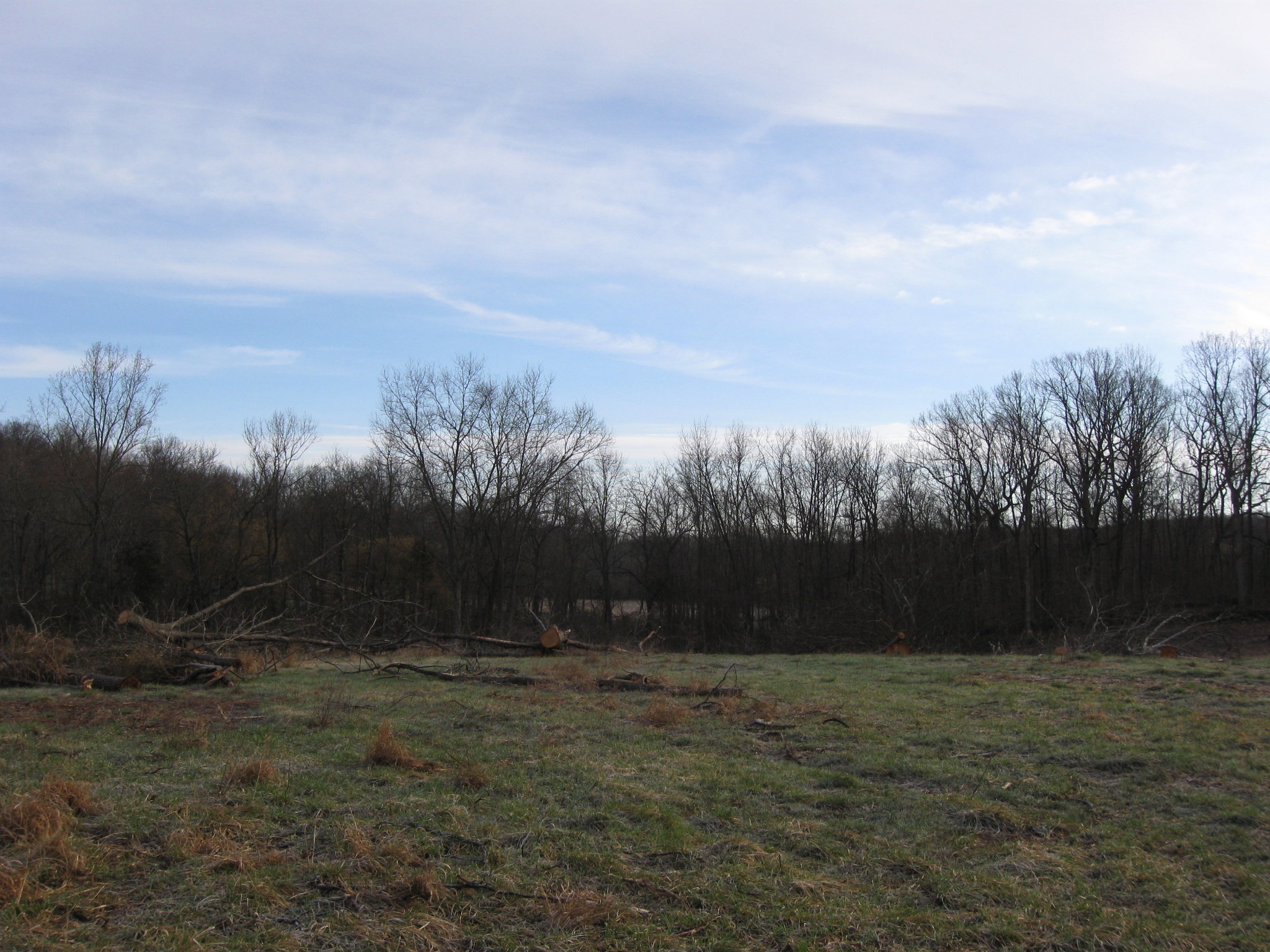
Because if this view isn’t opened… This view was taken facing northeast at approximately 8:00 AM on Monday, April 13, 2009.
…what’s been the point of the rest of the tree clearing in this area? If the 1866 view was the view that the soldiers had in 1863, then it should be restored. This view was taken facing southwest at approximately 8:00 AM on Monday, April 13, 2009.

Here’s a view of the recently cleared area from McAllister’s Woods. The monument to the 3rd Wisconsin Infantry Regiment is in the foreground. Powers’ Hill is in the left background. The white barn of the old Welcome Traveler buildings along the Baltimore Pike is in the right background. Notice how the trees have been cleared to the stone wall that separates McAllister’s Woods from the rest of the McAllister Farm. This view was taken facing northwest at approximately 8:00 AM on Monday, April 13, 2009.

Using the 3rd Wisconsin monument for a landmark, we are now looking towards Lower Culp’s Hill/Spangler’s Hill. Many of the trees between McAllister’s Woods and Lower Culp’s Hill/Spangler’s Hill, shown here, need to be cleared. This view was taken facing northeast at approximately 8:00 AM on Monday, April 13, 2009.
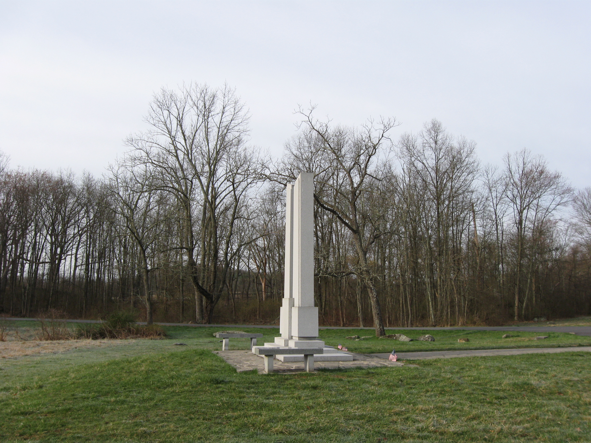
Here’s the Indiana State Monument in Spangler’s Meadow. McAllister’s Woods are on the far left. The outline of Powers’ Hill is visible in the left background. The trees behind the monument, and the trees in the right background need to be cleared. This view was taken facing southwest at approximately 8:00 AM on Monday, April 13, 2009.
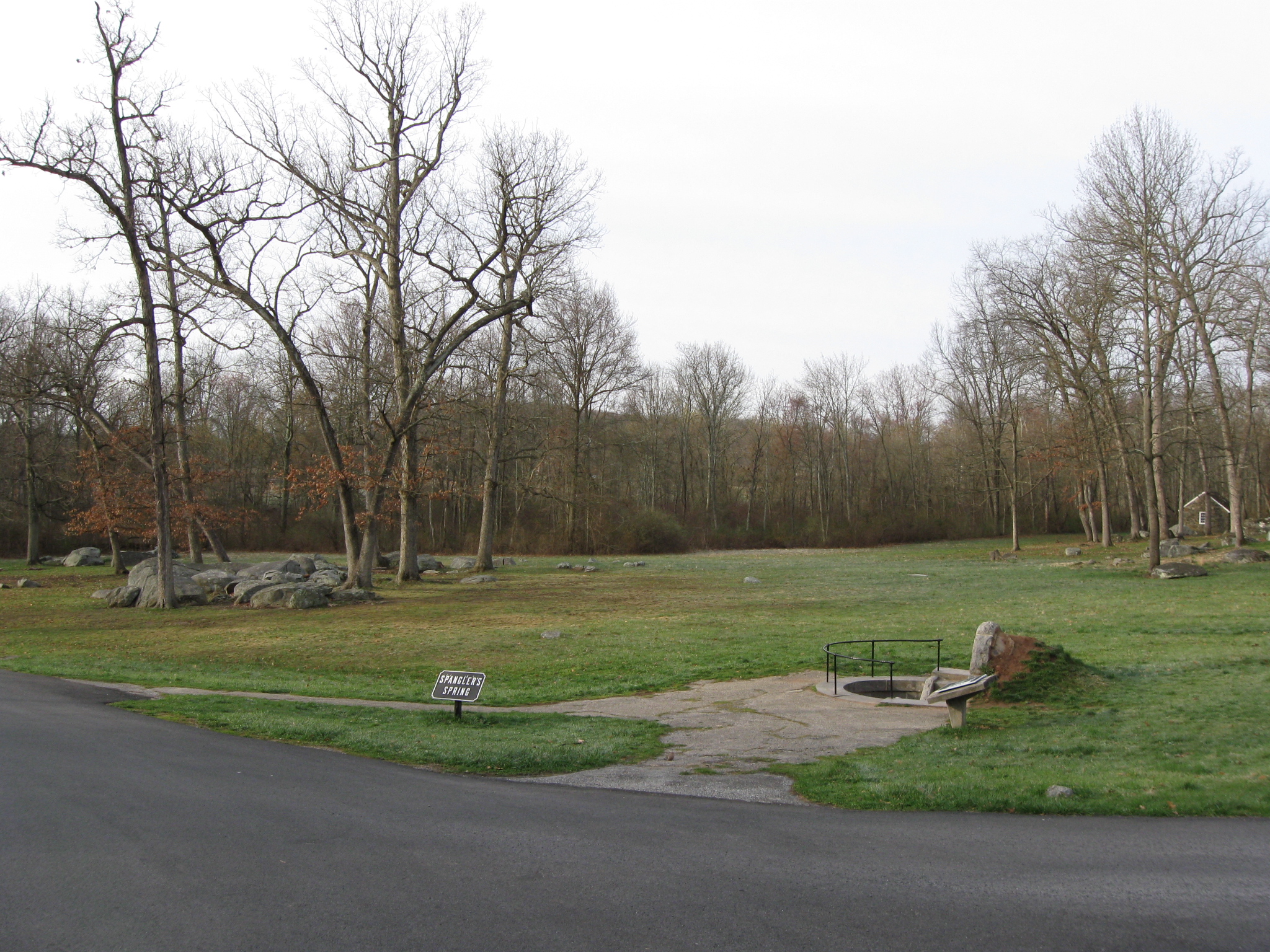
A view from Lower Culp’s Hill/Spangler’s Hill looking across Spangler’s Spring towards Powers’ Hill (the outline of which is visible in the left background). All of the trees in the background of this photograph should be removed to restore the historic scene. This view was taken facing southwest at approximately 8:00 AM on Monday, April 13, 2009.

By the way, when we were in the area of the white Welcome Traveler Barn, we saw what something from the old Visitor Center which some might now consider to be an artifact. This view was taken facing southwest at approximately 8:00 AM on Monday, April 13, 2009.

If anyone’s looking for the Eisenhower Shuttle sign, here it is. This view was taken facing southwest at approximately 8:00 AM on Monday, April 13, 2009.

It was displayed on the north side of the Old Visitor Center, near the old guide room. Has anyone seen the blue sign for the Battlefield Tour buses? This view was taken facing southeast at approximately 9:00 AM on Saturday, March 8, 2008.
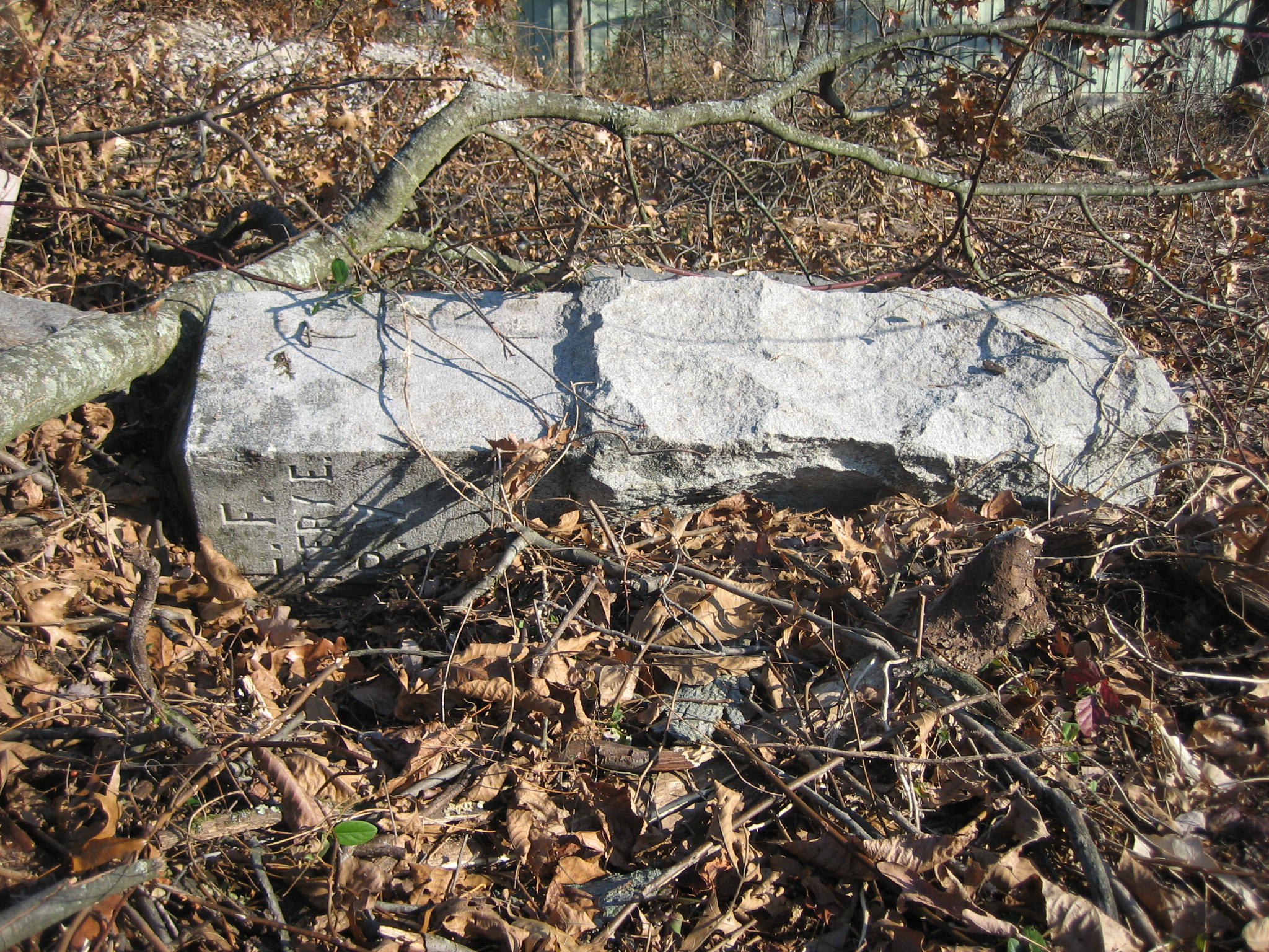
We’re expressing some concern because of the previous placement behind the maintenance area by the National Park Service of more important items on the battlefield, such as the left flank marker of Knap’s Pennsylvania battery. This view was taken facing north at approximately 8:30 AM on Sunday, November 9, 2008.
See the following related post:
Tree Clearing between the Baltimore Pike and Spangler’s Spring on March 11, 2009.