Gettysburg’s February 10th Snow Storm: Stevens’ Knoll and Culp’s Hill Summit
March 17, 2010
The Culp’s Hill observation tower was not climbed by too many people before the roads were cleared of snow. This view was taken facing east at approximately 10:45 AM on Sunday, February 14, 2010.
The Gettysburg area now has sunshine and highs in the 50s. However, before we reach spring next week, we wanted to take a last opportunity to show you Gettysburg in the snow. During one of the days before the park roads were cleared we walked to and around Culp’s Hill just to document the appearance of the snow covered landscape. Today we visit the summit of Culp’s Hill.
See the following related posts:
Gettysburg’s February 6th “Blizzard,” the Morning After: Part 1 on February 8, 2010.
Gettysburg’s February 6th “Blizzard,” the Morning After: Part 2 on February 9, 2010.
Gettysburg’s February 6th “Blizzard,” the Morning AFter: Part 3 on February 10, 2010.
Gettysburg’s February 10th Snow Storm: Cemetery Ridge Part 1 on February 15, 2010.
Gettysburg’s February 10th Snow Storm: Cemetery Ridge Part 2 on February 16, 2010.
Gettysburg’s February 10th Snow Storm: Cemetery Ridge Part 3 on February 17, 2010.
Gettysburg’s February 10th Snow Storm: Cemetery Ridge Part 4 on February 18, 2010.
Gettysburg’s February 10th Snow Storm: Doubleday Avenue on February 23, 2010.
Gettysburg’s February 10th Snow Storm: Wainwright Avenue on March 16, 2010.
Pictures from yesterday’s post were taken along Wainwright Avenue, shown in the bottom right of this photograph and “running away” from the camera. East Cemetery Hill is in the left background. This view was taken facing northwest at approximately 10:45 AM on Sunday, February 14, 2010.
We’re continuing towards Stevens’ Knoll, atop which sits the equestrian monument to Major General Henry Slocum. This view was taken facing southeast at approximately 10:45 AM on Sunday, February 14, 2010.
The monument to the 33rd Massachusetts Infantry Regiment. This view was taken facing northeast at approximately 10:45 AM on Sunday, February 14, 2010.
We are now on Slocum Avenue. This view was taken facing southeast at approximately 10:45 AM on Sunday, February 14, 2010.
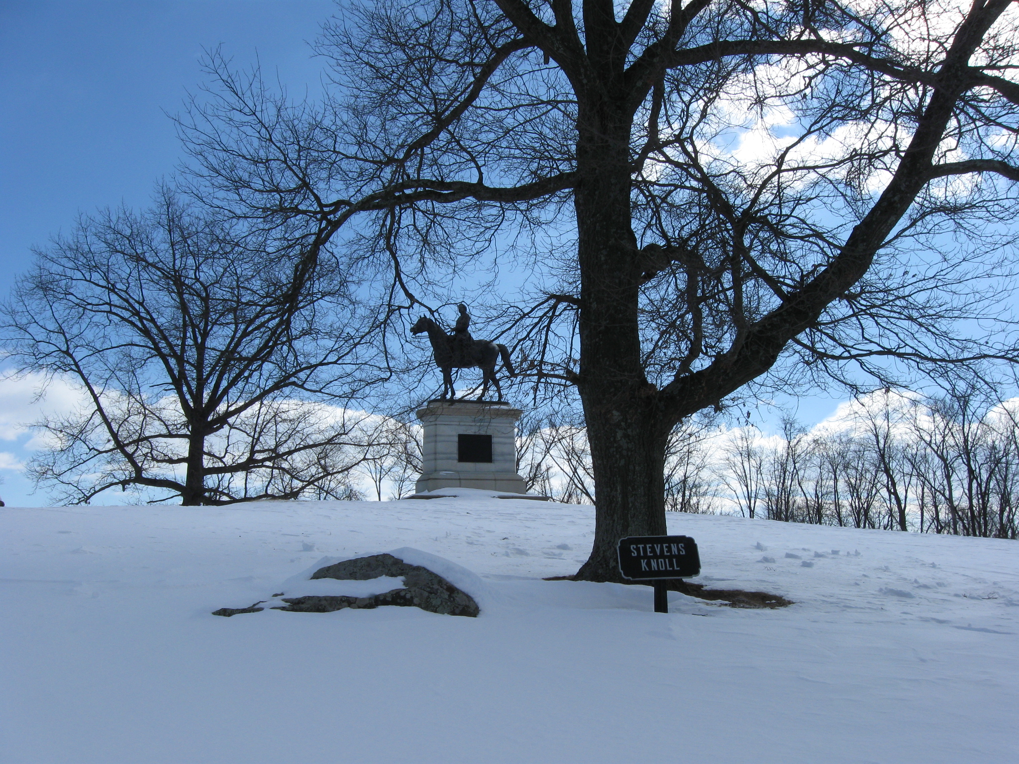
McKnight’s Hill/Stevens’ Knoll. The Slocum equestrian statue is in the right background. The monument to Stevens’ Battery E, 5th Maine Artillery is in the left background. This view was taken facing northwest at approximately 10:45 AM on Sunday, February 14, 2010.
The path was really narrowing at this point, and most of the human footprints had disappeared. We are mostly following the tracks of a cross country skier. This view was taken facing east at approximately 10:45 AM on Sunday, February 14, 2010.
The Henry W. Slocum equestrian monument was dedicated on September 19, 1902. This view was taken facing southeast at approximately 10:45 AM on Sunday, February 14, 2010.
Looking back towards East Cemetery Hill. This view was taken facing northwest at approximately 10:45 AM on Sunday, February 14, 2010.
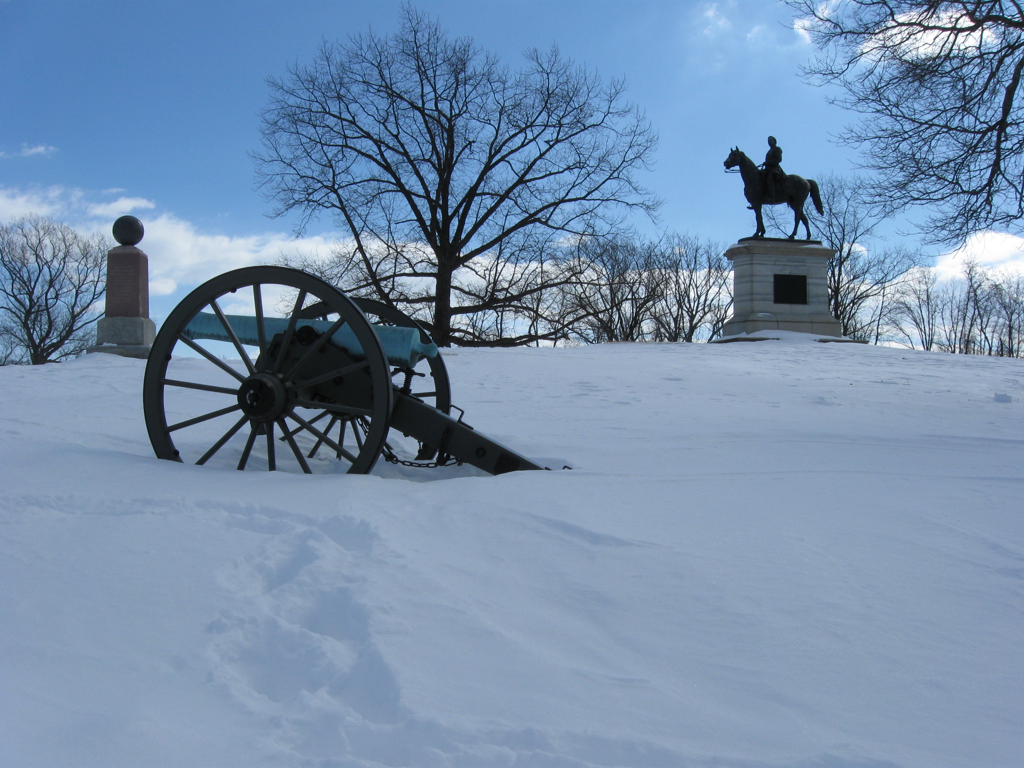
The Battery E 5th Maine Monument (Stevens’ Battery) is in the left background. This view was taken facing southeast at approximately 10:45 AM on Sunday, February 14, 2010.
The Stevens’ Battery Monument was dedicated on October 3, 1889. This view was taken facing southeast at approximately 10:45 AM on Sunday, February 14, 2010.
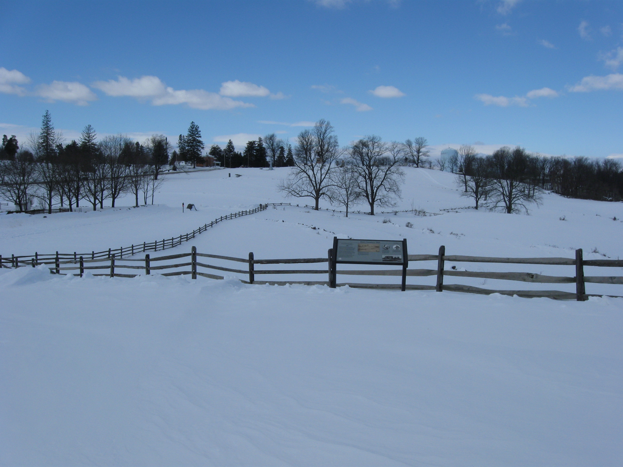
The wayside marker describes the fighting on East Cemetery Hill, which is in the background. This view was taken facing northwest at approximately 10:45 AM on Sunday, February 14, 2010.
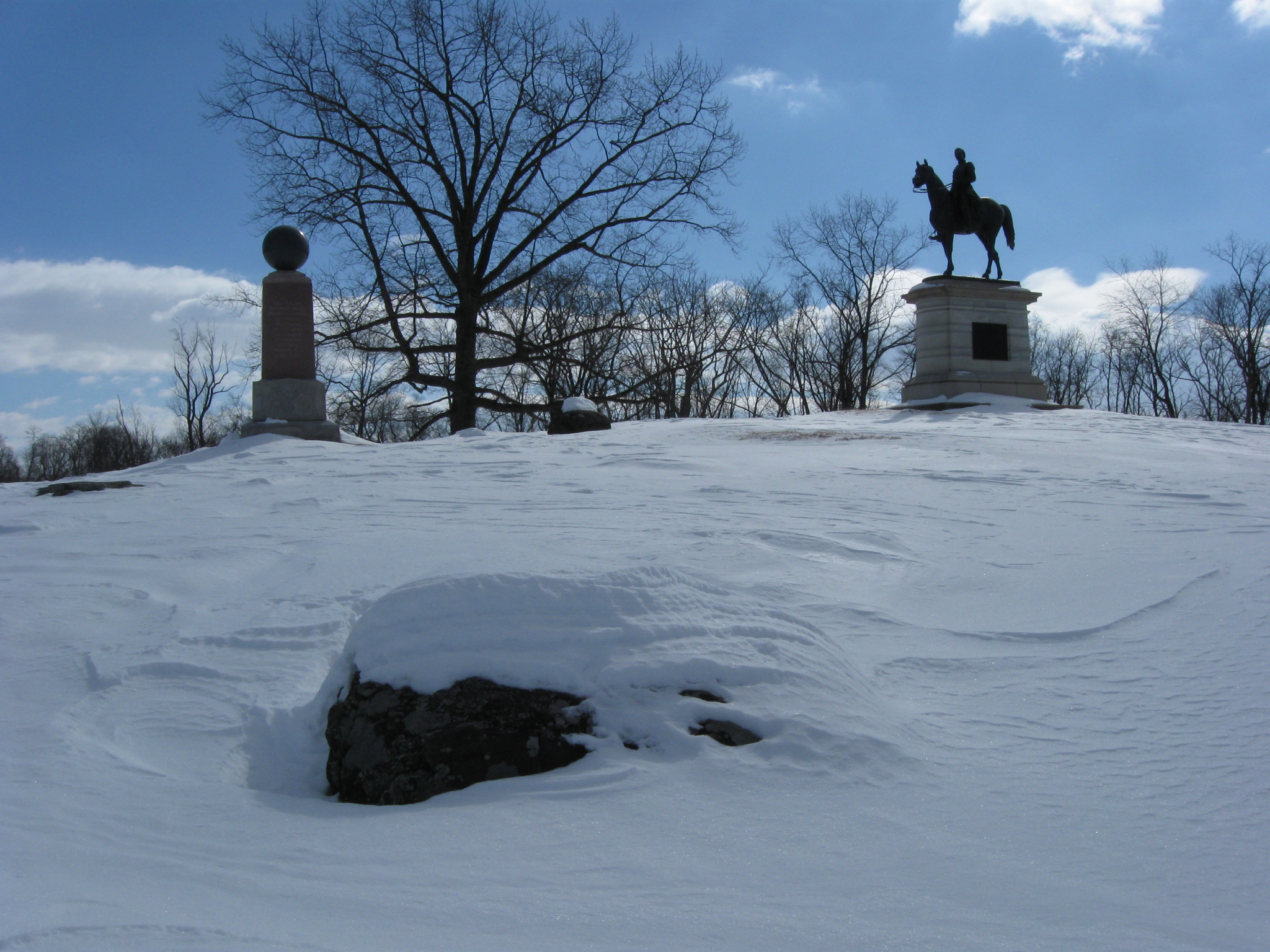
This view was taken facing southeast at approximately 10:45 AM on Sunday, February 14, 2010.
This view was taken facing south at approximately 10:45 AM on Sunday, February 14, 2010.
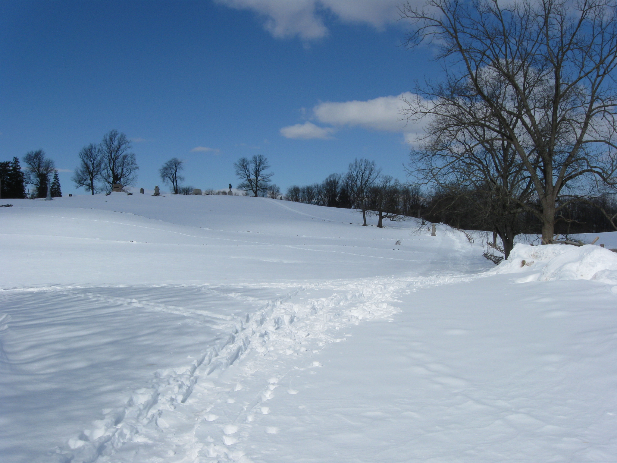
We’re continuing on Slocum towards the summit of Culp’s Hill, which is in the left background. This view was taken facing southeast at approximately 10:45 AM on Sunday, February 14, 2010.
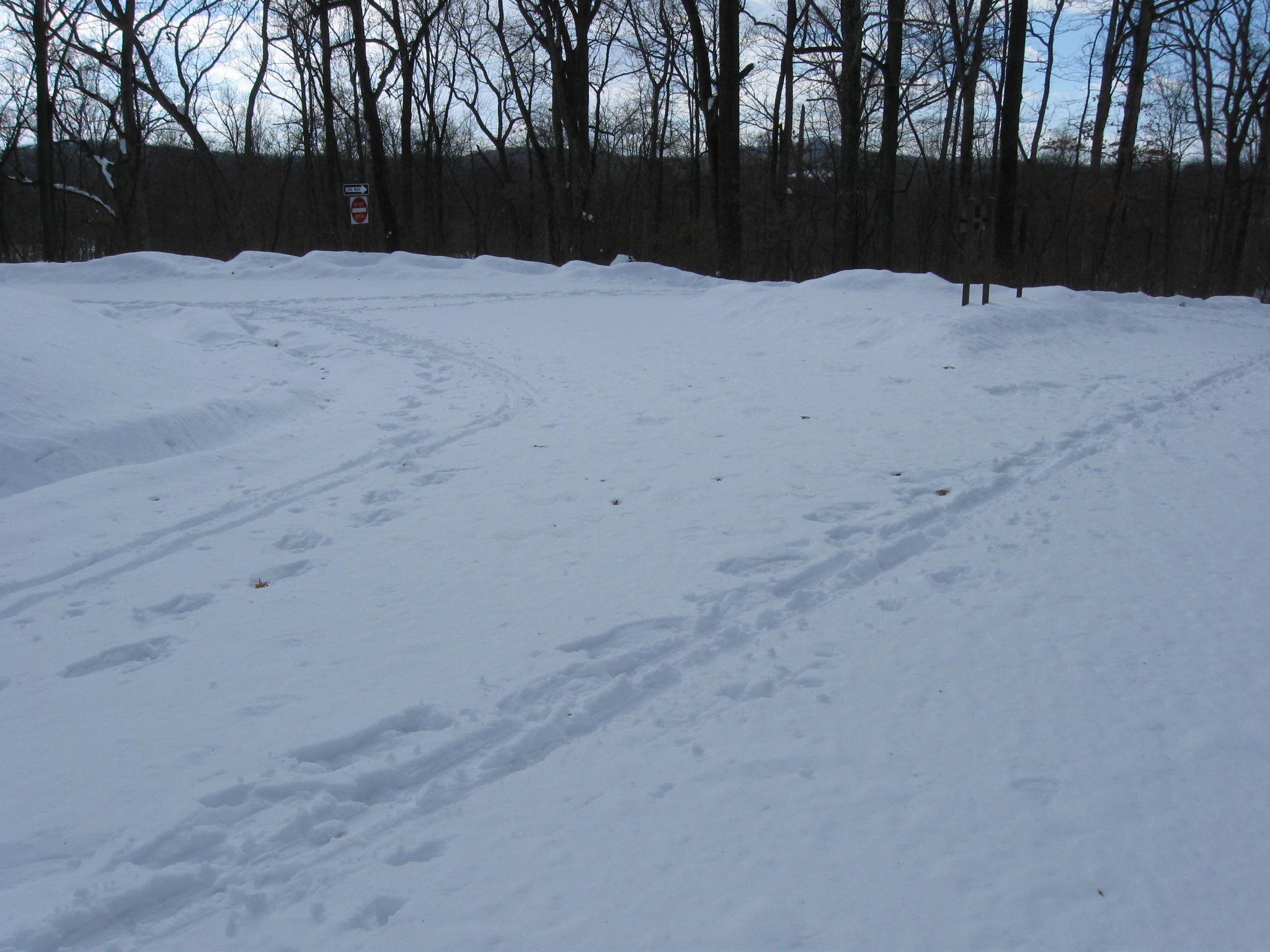
The junction of Williams Avenue on the right, and Slocum Avenue on the left. Both roads are one way and vehicle traffic would approach the camera. We’re going left. This view was taken facing southeast at approximately 10:45 AM on Sunday, February 14, 2010.
Looking back towards McKnight’s Hill/Stevens’ Knoll on the left and East Cemetery Hill in the right background. This view was taken facing northwest at approximately 10:45 AM on Sunday, February 14, 2010.
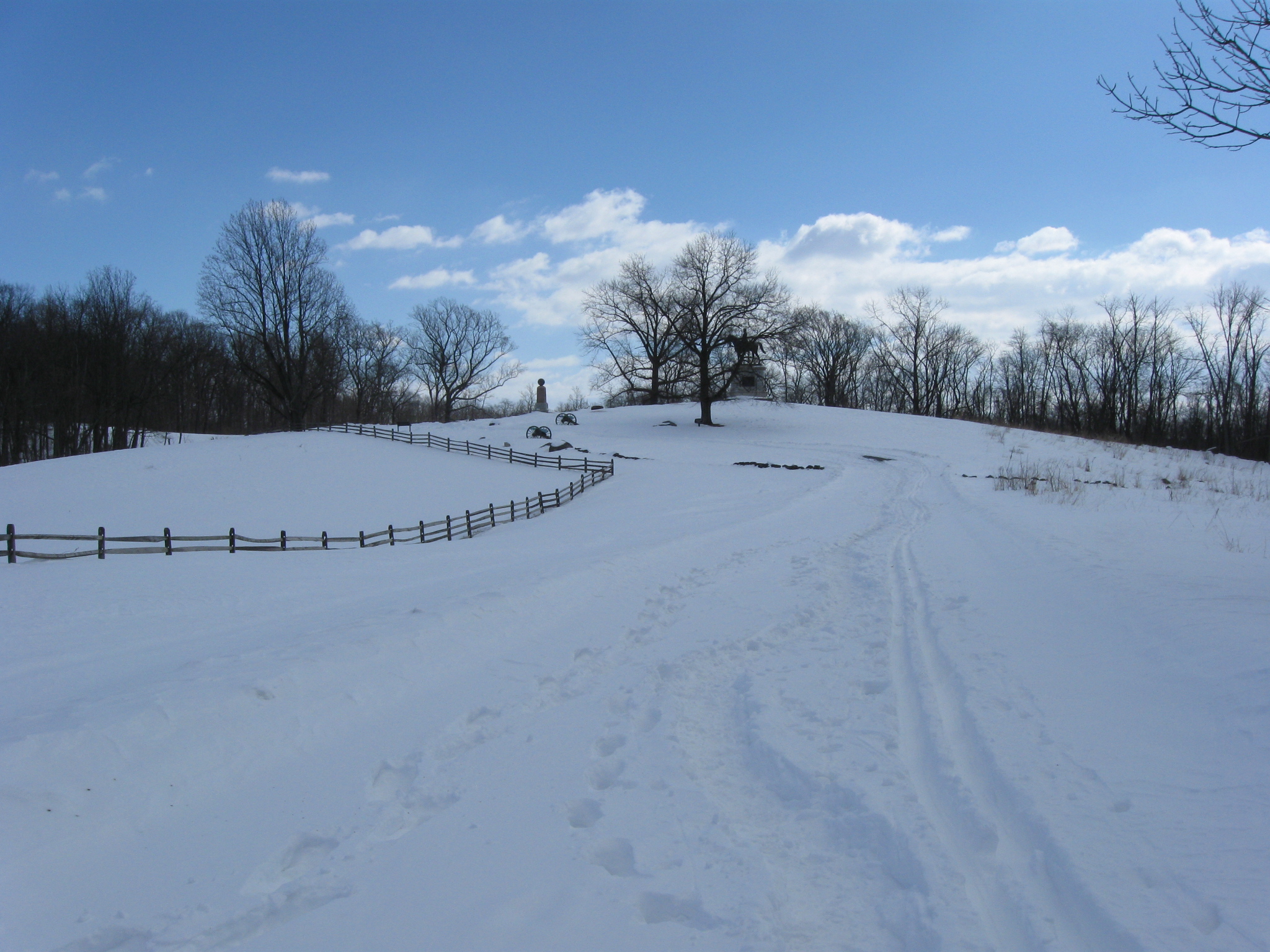
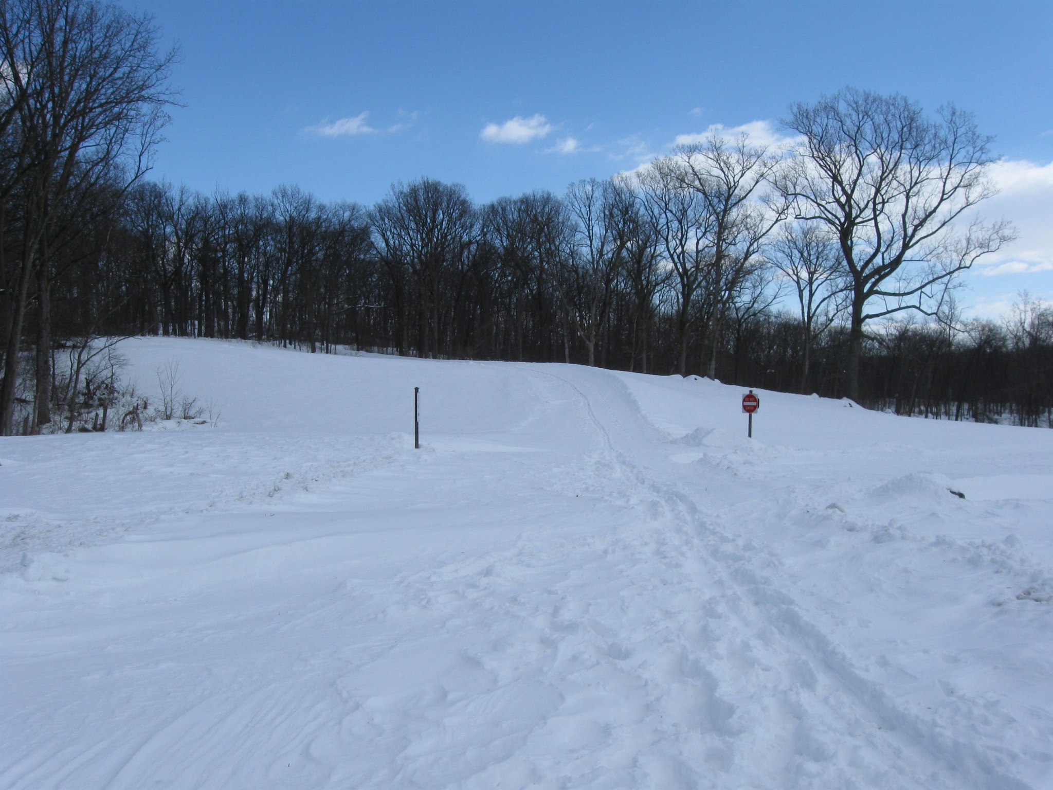
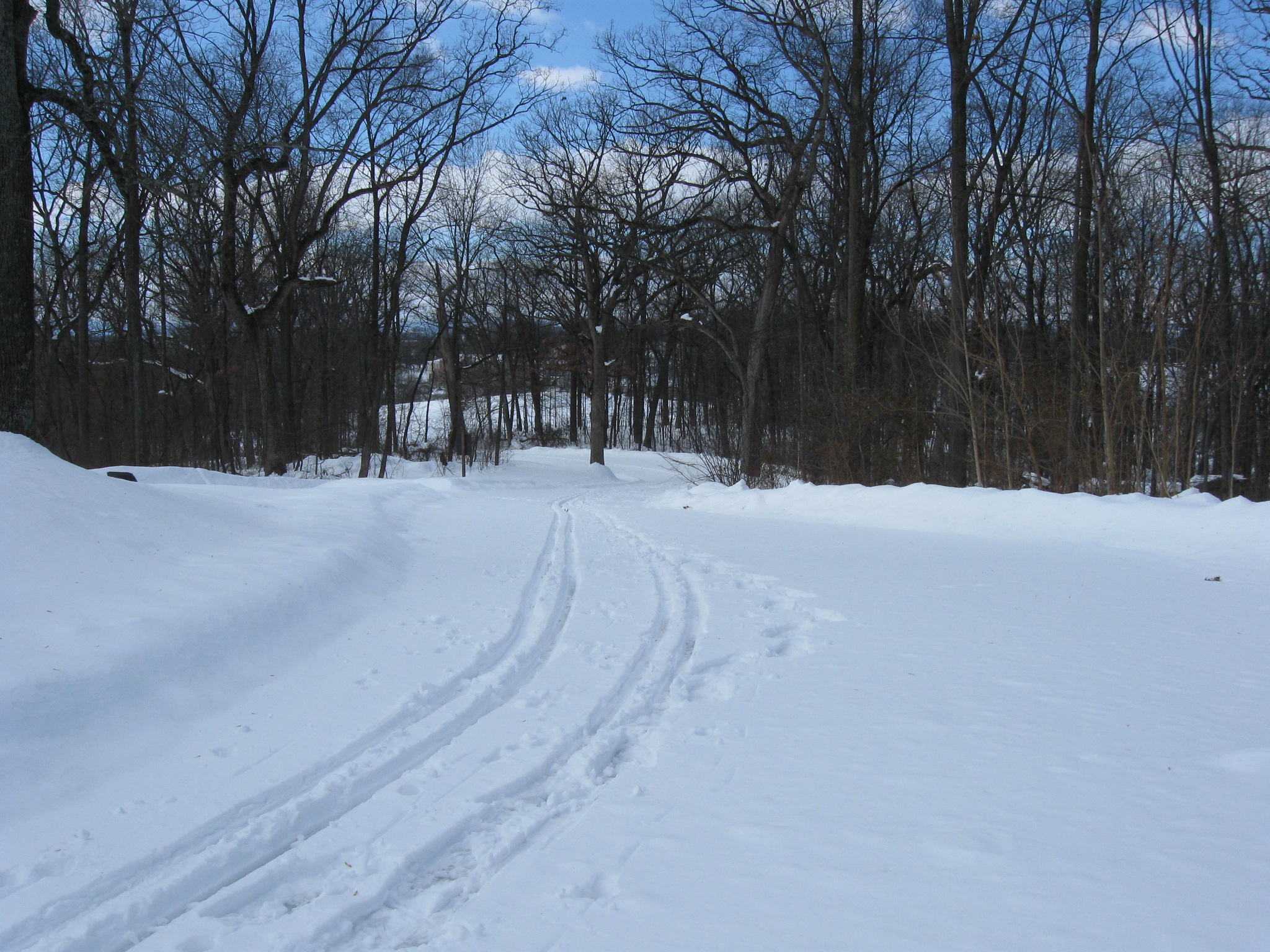
Continuing on Slocum towards the summit. This view was taken facing east at approximately 10:45 AM on Sunday, February 14, 2010.
Where Slocum Avenue forms a junction with itself. We’ll go to the right later, but now we’re continuing to the left and up the hill. This view was taken facing east at approximately 10:45 AM on Sunday, February 14, 2010.
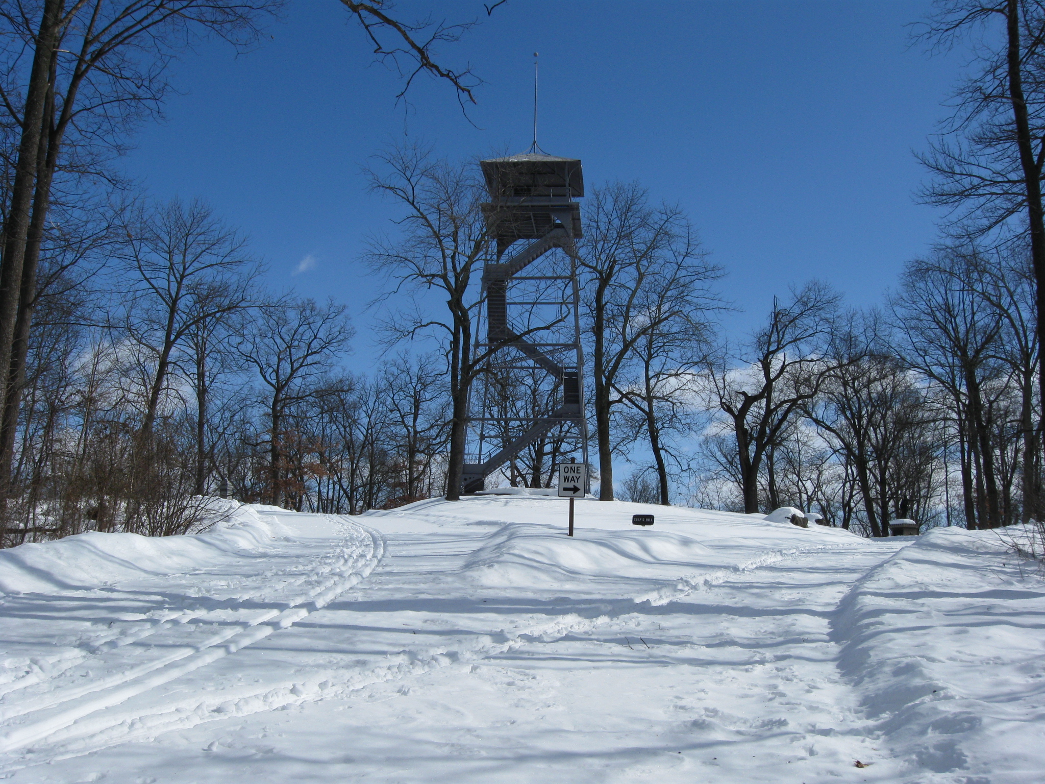
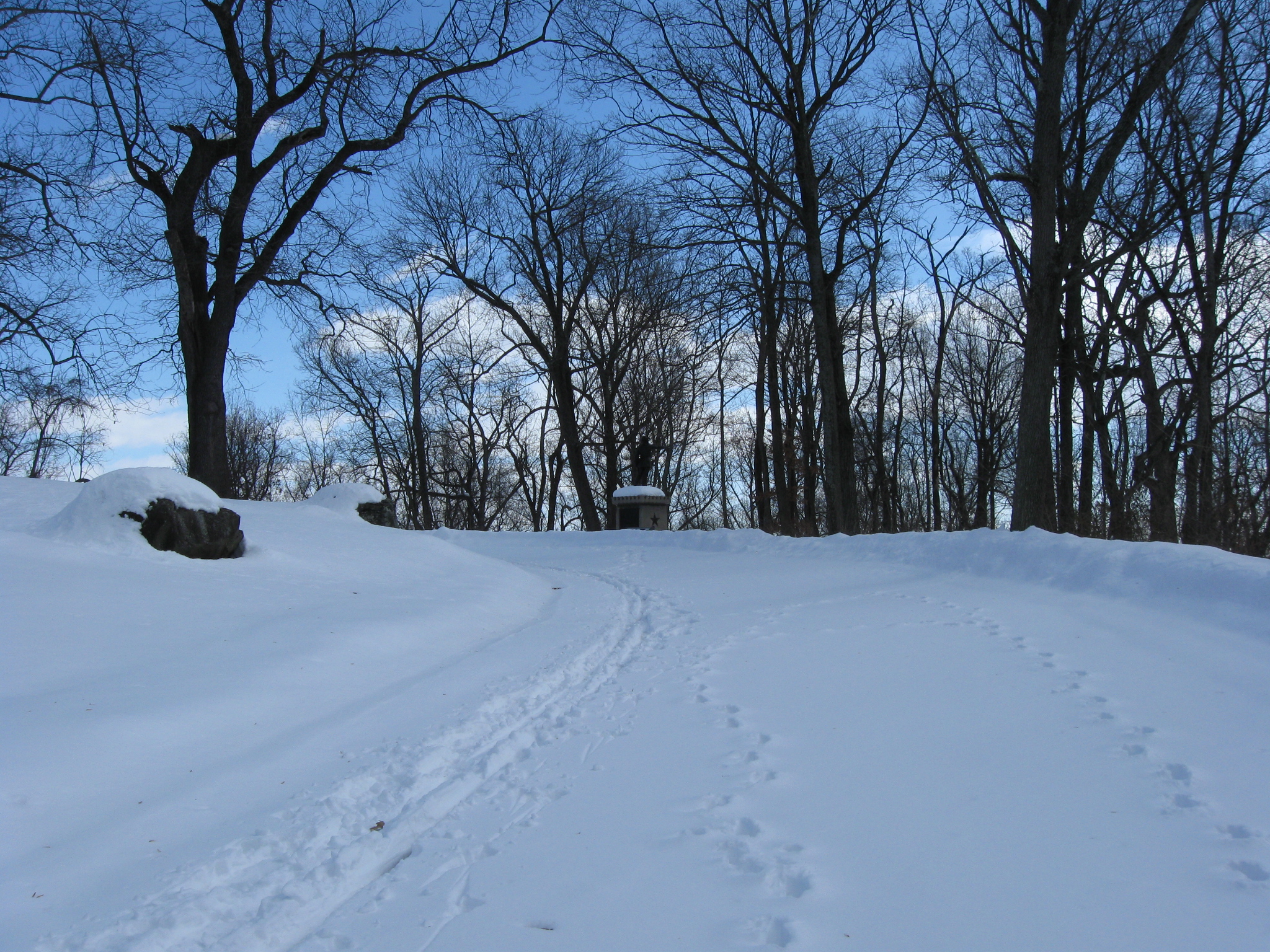
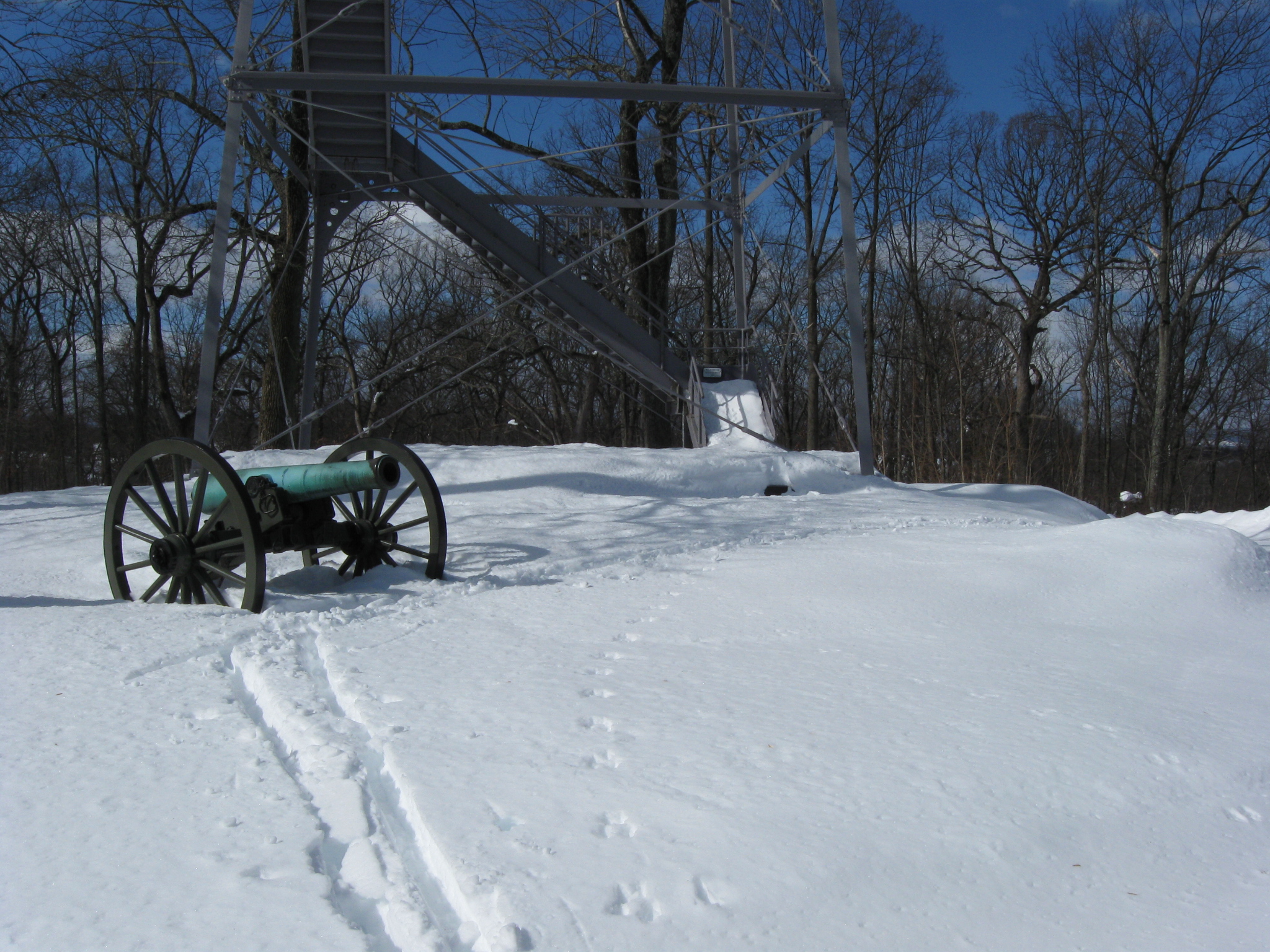
The Culp’s Hill tower and no more footprints. It’s just the cross country skier and us. This view was taken facing east at approximately 10:45 AM on Sunday, February 14, 2010.
Oh, and some animal tracks on the right. This view was taken facing east at approximately 10:45 AM on Sunday, February 14, 2010.
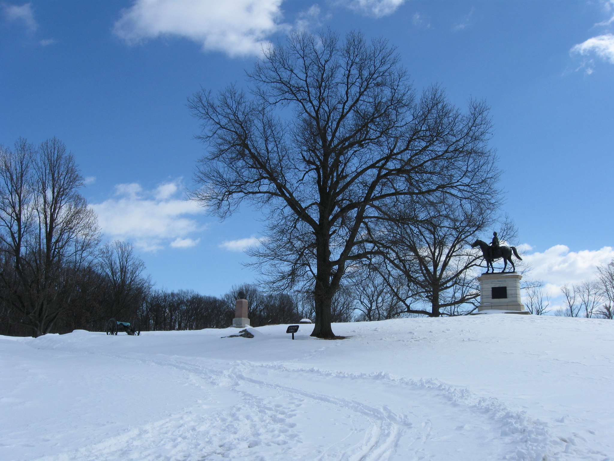
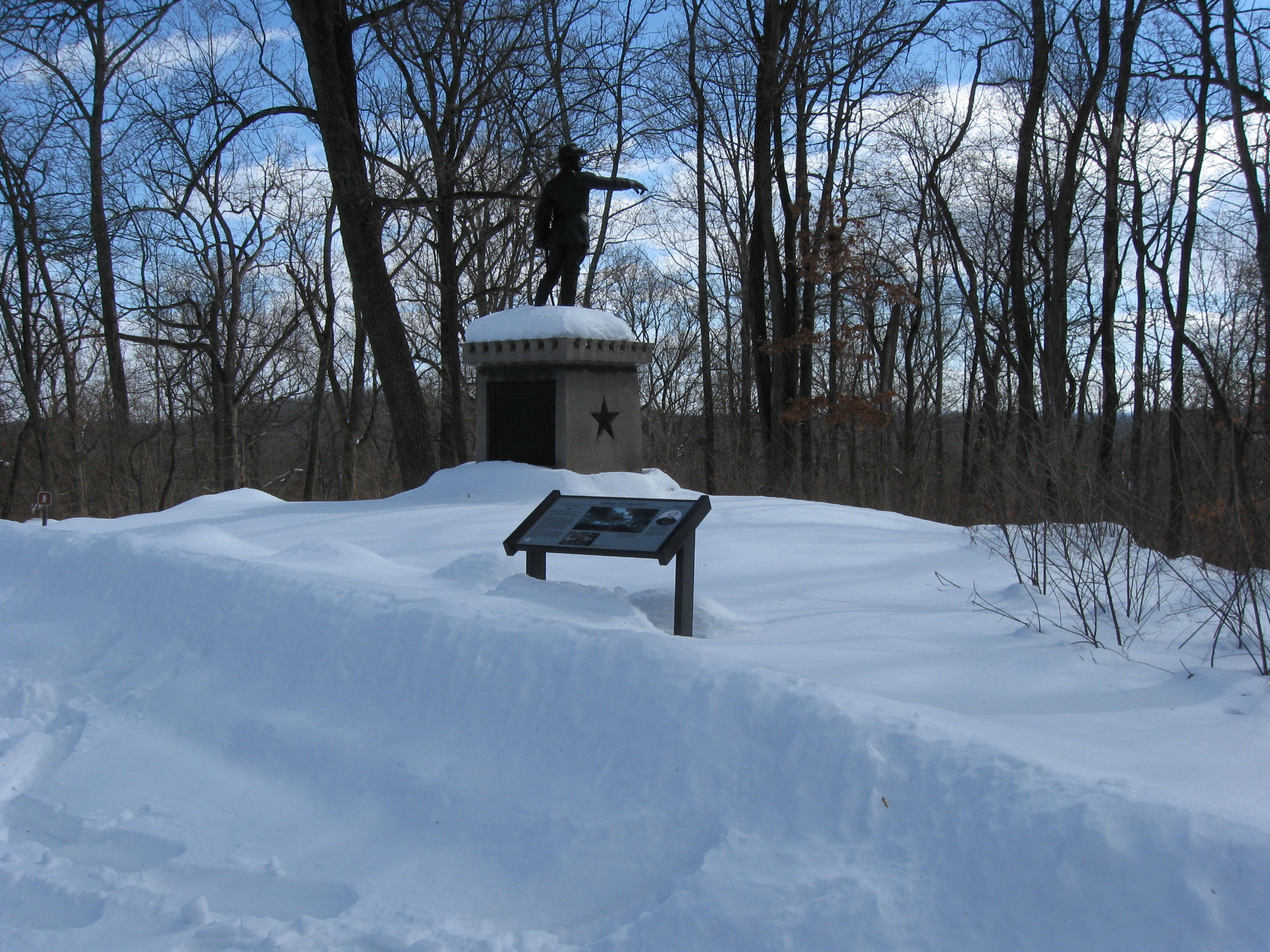
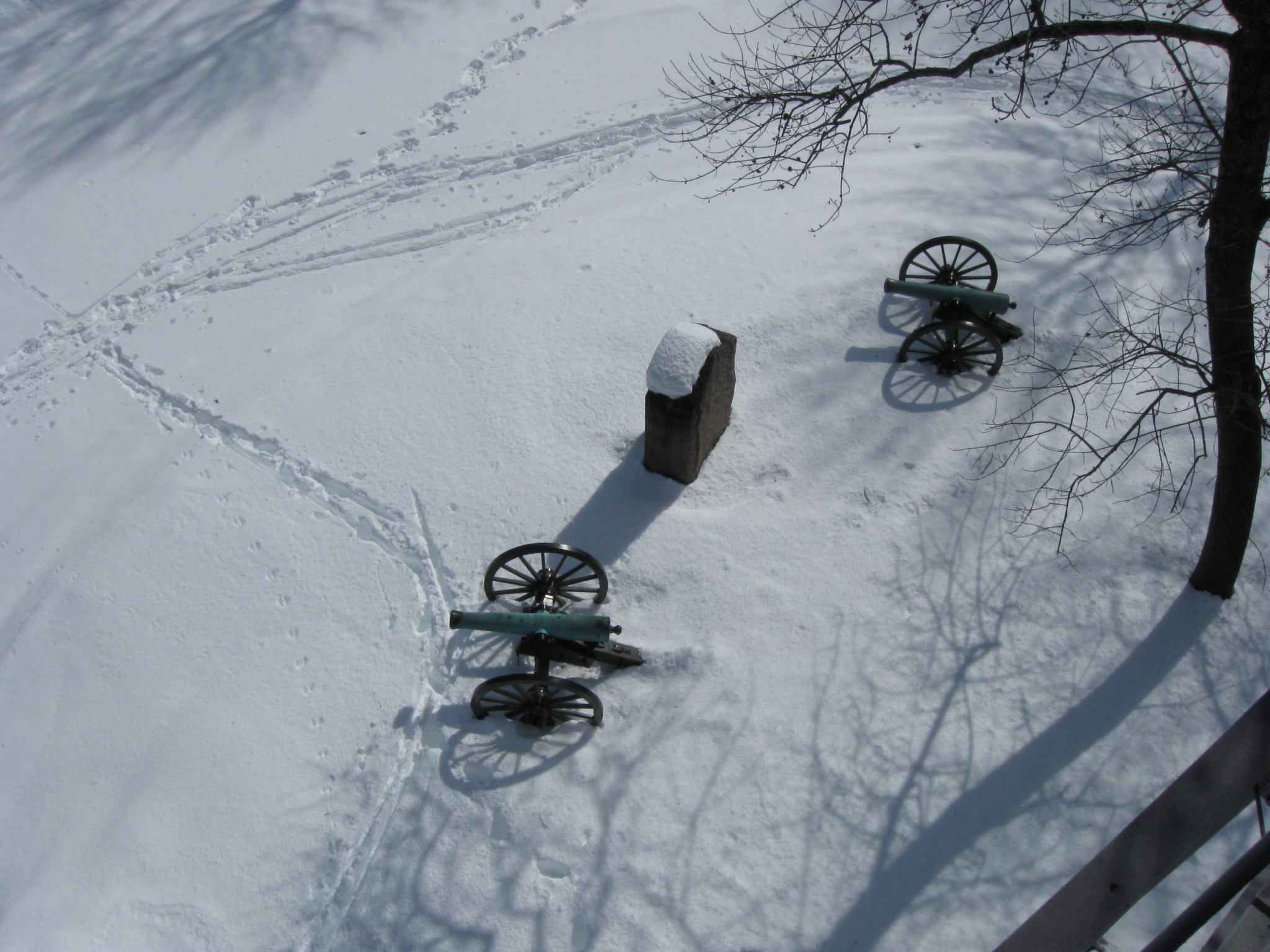
A section from Lieutenant David H. Kinzie’s Battery K, 5th U.S. Artillery was positioned on the summit Culp’s Hill on July 2, 1863. This view was taken facing east at approximately 10:45 AM on Sunday, February 14, 2010.
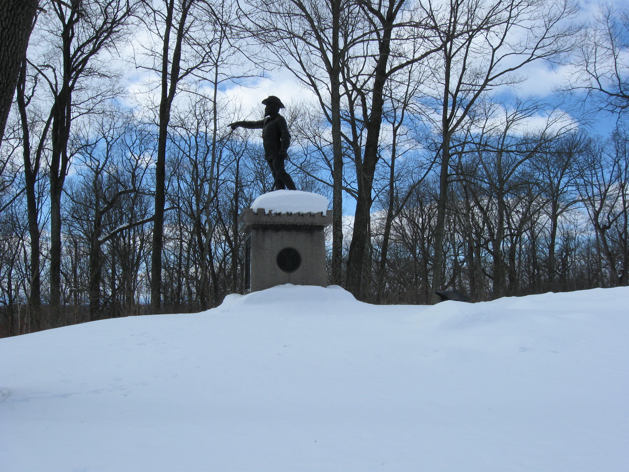
The statue to Brigadier General George Sears Greene was dedicated on September 26, 1907. This view was taken facing southeast at approximately 10:45 AM on Sunday, February 14, 2010.
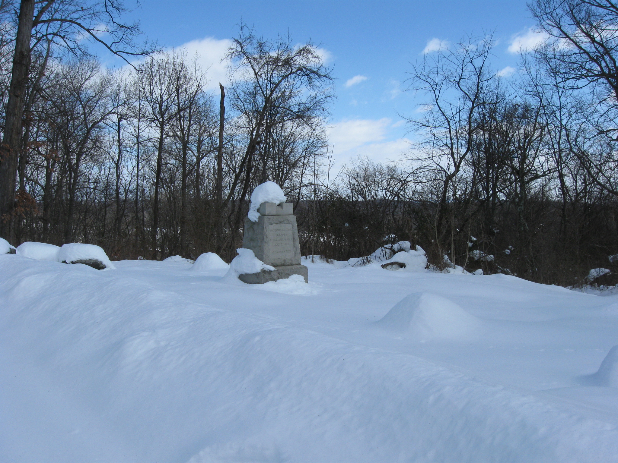
The monument to Knap’s Independent Battery E, Pennsylvania Light Artillery was under the command of First Lieutenant Charles A. Atwell at Gettysburg. This view was taken facing east at approximately 10:45 AM on Sunday, February 14, 2010.
The section of Kinzie’s Battery K, 5th United States Artillery. This view was taken facing northwest at approximately 10:45 AM on Sunday, February 14, 2010.
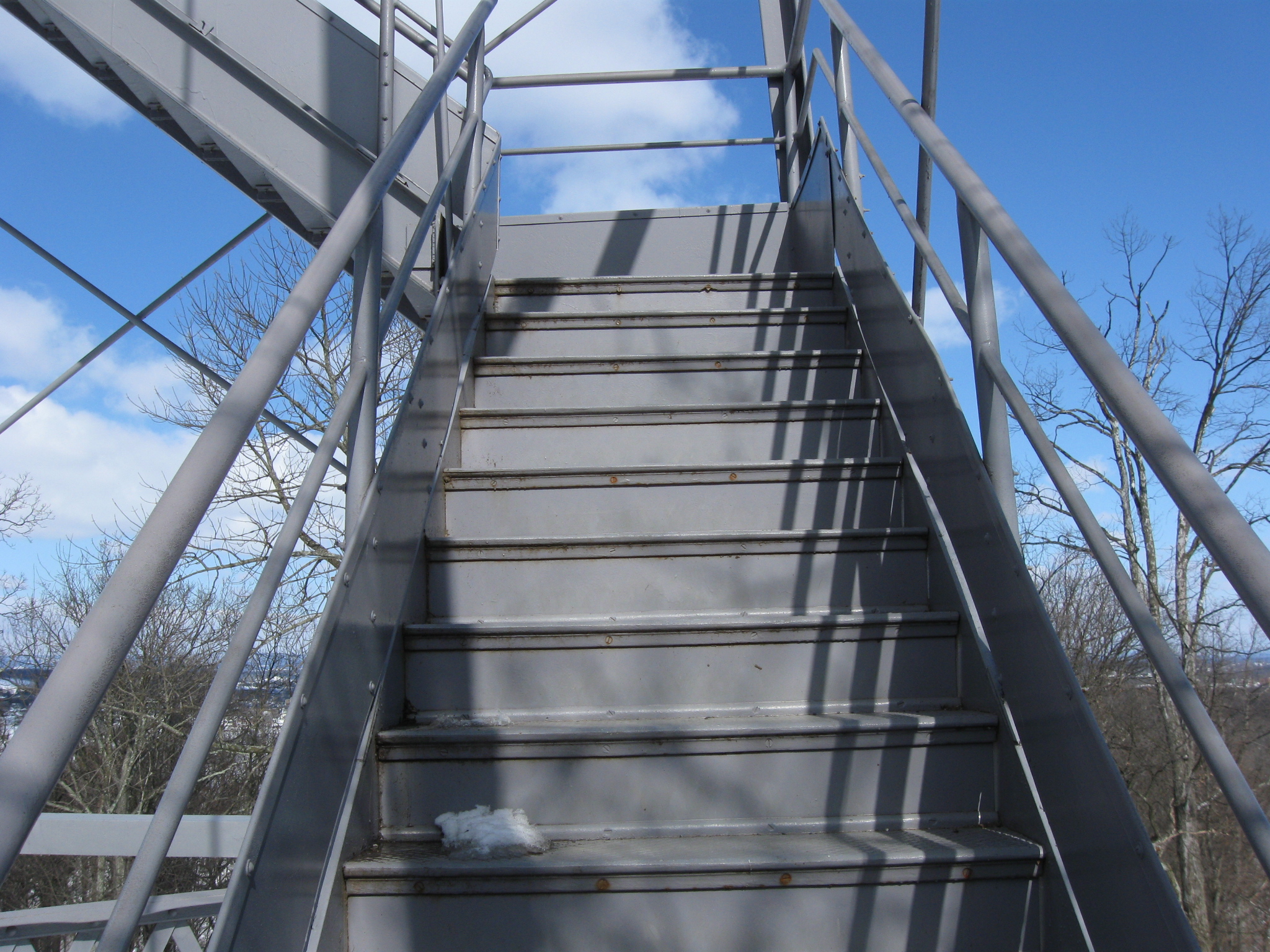
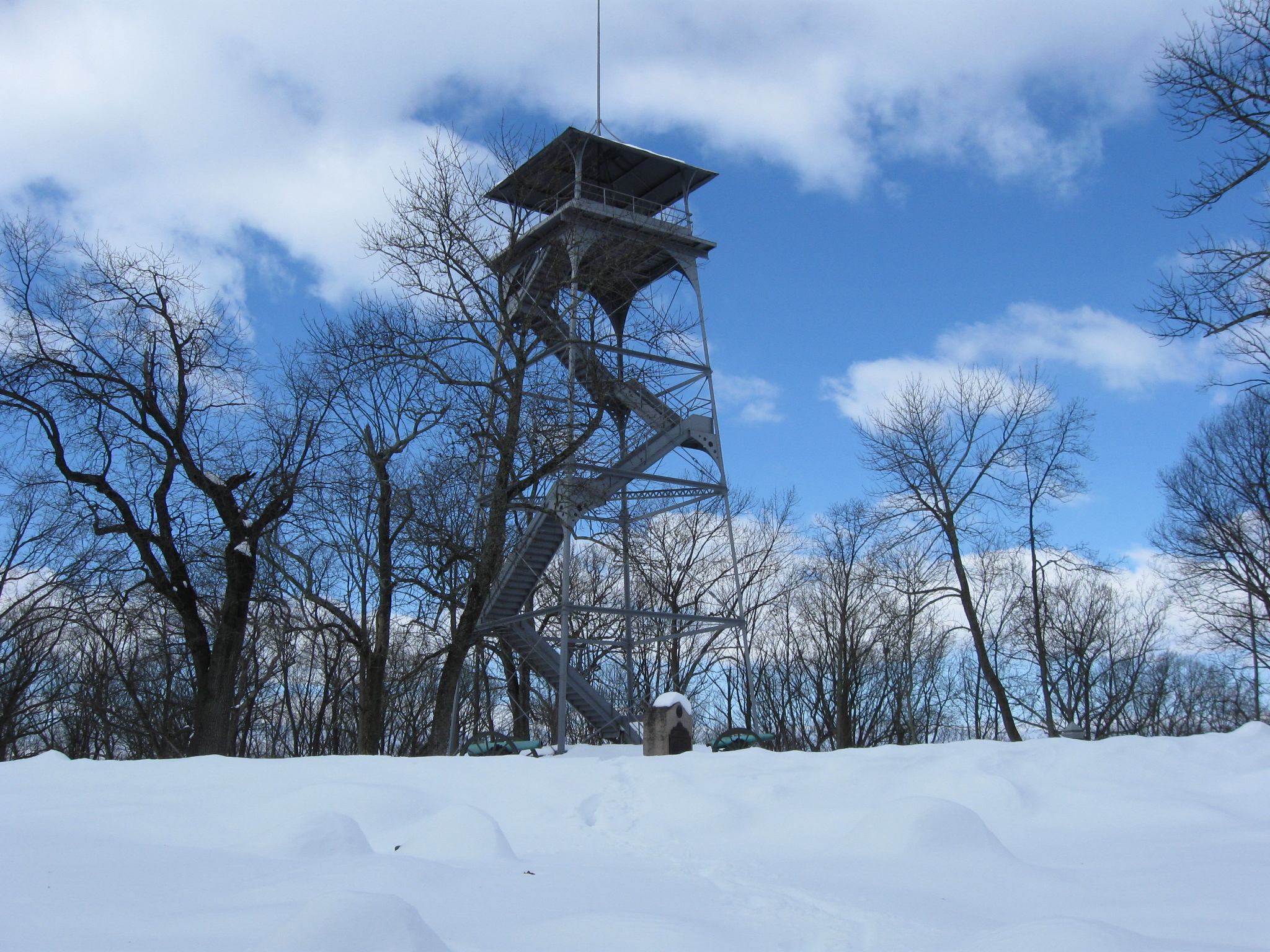
It had been a pretty tough walk so far, but the steps at the foot of the tower caught our eye. This view was taken facing west at approximately 10:45 AM on Sunday, February 14, 2010.
Obviously nobody had been up the tower since the snow fell… This view was taken facing west at approximately 10:45 AM on Sunday, February 14, 2010.
… and the National Park Service had not closed the tower. This view was taken facing south at approximately 10:45 AM on Sunday, February 14, 2010.
So how slippery a climb was it? No snow after the first landing. This view was taken facing north at approximately 10:45 AM on Sunday, February 14, 2010.
Kinzie’s Battery. This view was taken facing southeast at approximately 10:45 AM on Sunday, February 14, 2010.
The monument to Knap’s Battery. This view was taken facing southeast at approximately 10:45 AM on Sunday, February 14, 2010.
The monument to the 7th Indiana Infantry Regiment. This view was taken facing north at approximately 10:45 AM on Sunday, February 14, 2010.
Leaves frequently block this view. Knap’s Battery is on the left. Greene’s monument is on the right. The monument to the 60th New York Infantry Regiment is visible in the center background. This view was taken facing east at approximately 10:45 AM on Sunday, February 14, 2010.
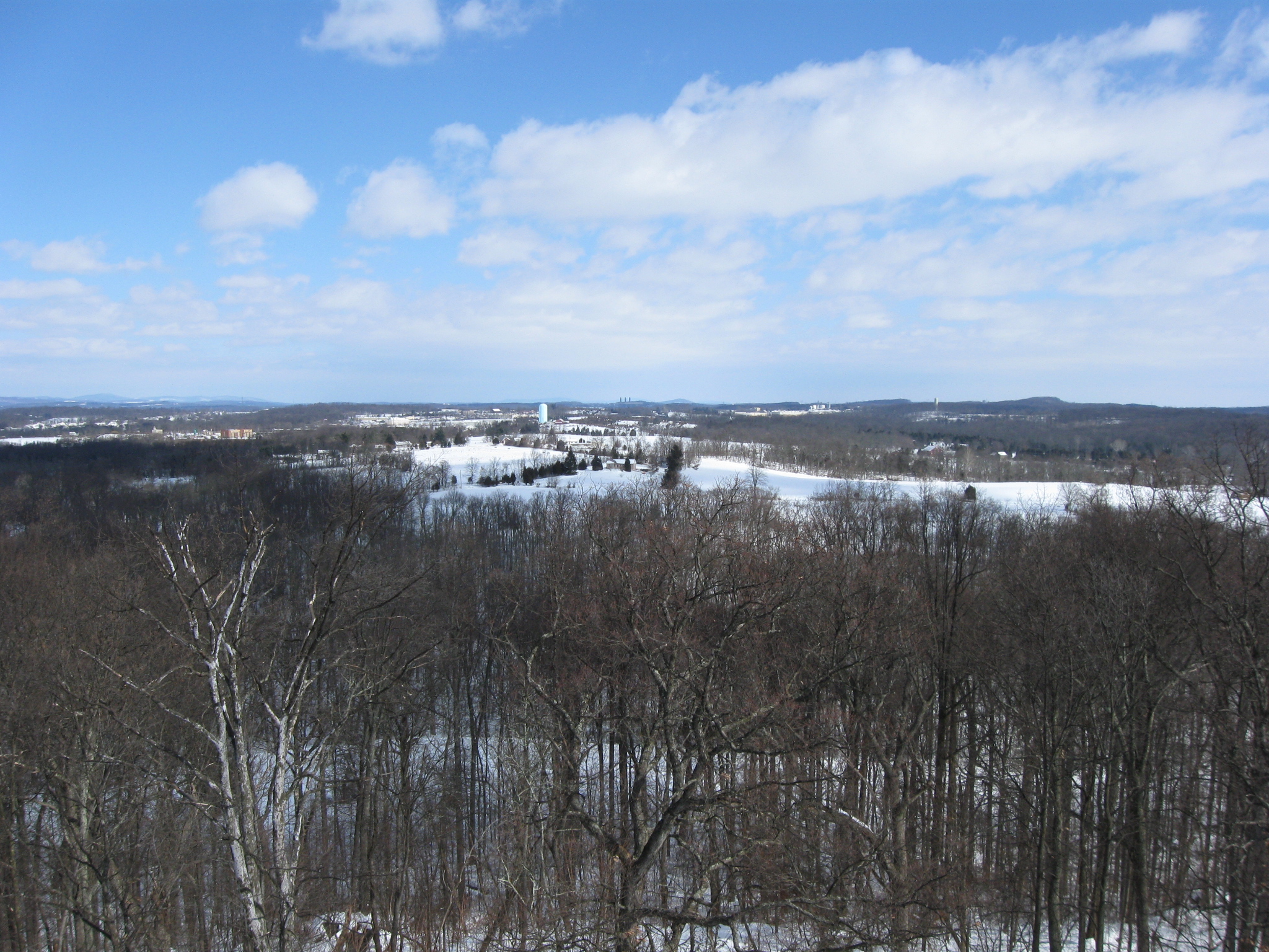
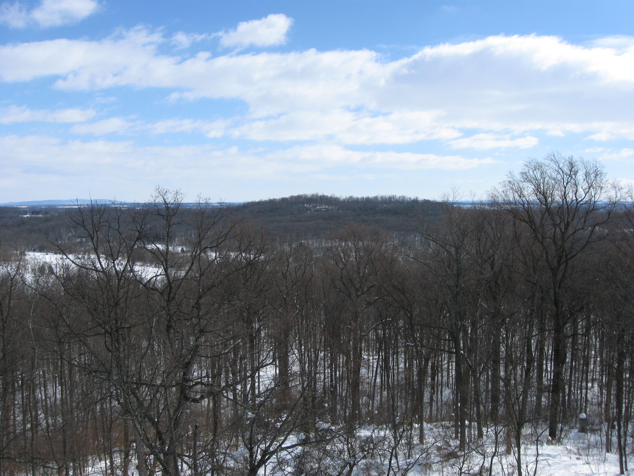
Hospital Hill or Camp Letterman is marked by the light green/light blue water tank. Benner’s Hill is below the water tank. This view was taken facing northeast at approximately 10:45 AM on Sunday, February 14, 2010.
Wolf’s Hill This view was taken facing east at approximately 10:45 AM on Sunday, February 14, 2010.
We decided to go where “no man had gone before” after the snowfall. We jumped (well, kind of rolled over) the snow bank that is partially hiding Kinzie’s Battery. This view was taken facing northwest at approximately 10:45 AM on Sunday, February 14, 2010.
Slowly moved past the Greene statue… This view was taken facing southwest at approximately 10:45 AM on Sunday, February 14, 2010.
… and Knap’s Monument…This view was taken facing northeast at approximately 10:45 AM on Sunday, February 14, 2010.
… so we could get a better view of the monument to the 60th New York Infantry Regiment. This view was taken facing east at approximately 10:45 AM on Sunday, February 14, 2010.
A closer view of the monument. The marker to Company I of the 60th New York is in the right background. This view was taken facing east at approximately 10:45 AM on Sunday, February 14, 2010.
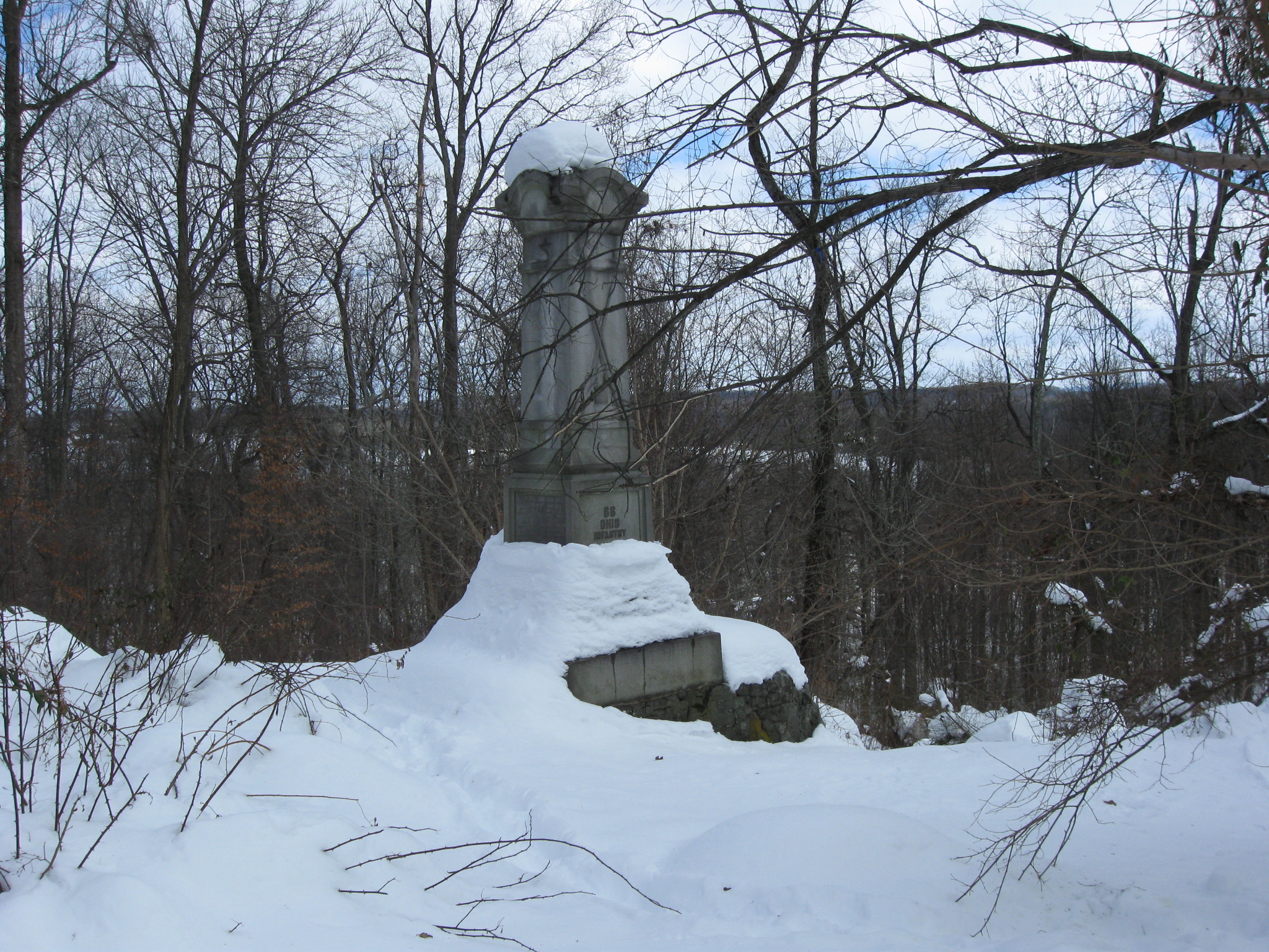
We also had to look at the monument to the 66th Ohio Infantry Regiment. This view was taken facing northeast at approximately 10:45 AM on Sunday, February 14, 2010.
Back on the summit is the monument to the 7th Indiana Infantry Regiment. This view was taken facing northwest at approximately 10:45 AM on Sunday, February 14, 2010.
We’re moving off the summit of Culp’s Hill… This view was taken facing west at approximately 10:45 AM on Sunday, February 14, 2010.
… to take a left onto Slocum Avenue towards the southern/southeastern slope of “Upper Culp’s Hill.” This view was taken facing southwest at approximately 10:45 AM on Sunday, February 14, 2010.