Gettysburg’s February 10th Snow Storm: Spangler’s Meadow and McAllister’s Woods
March 22, 2010
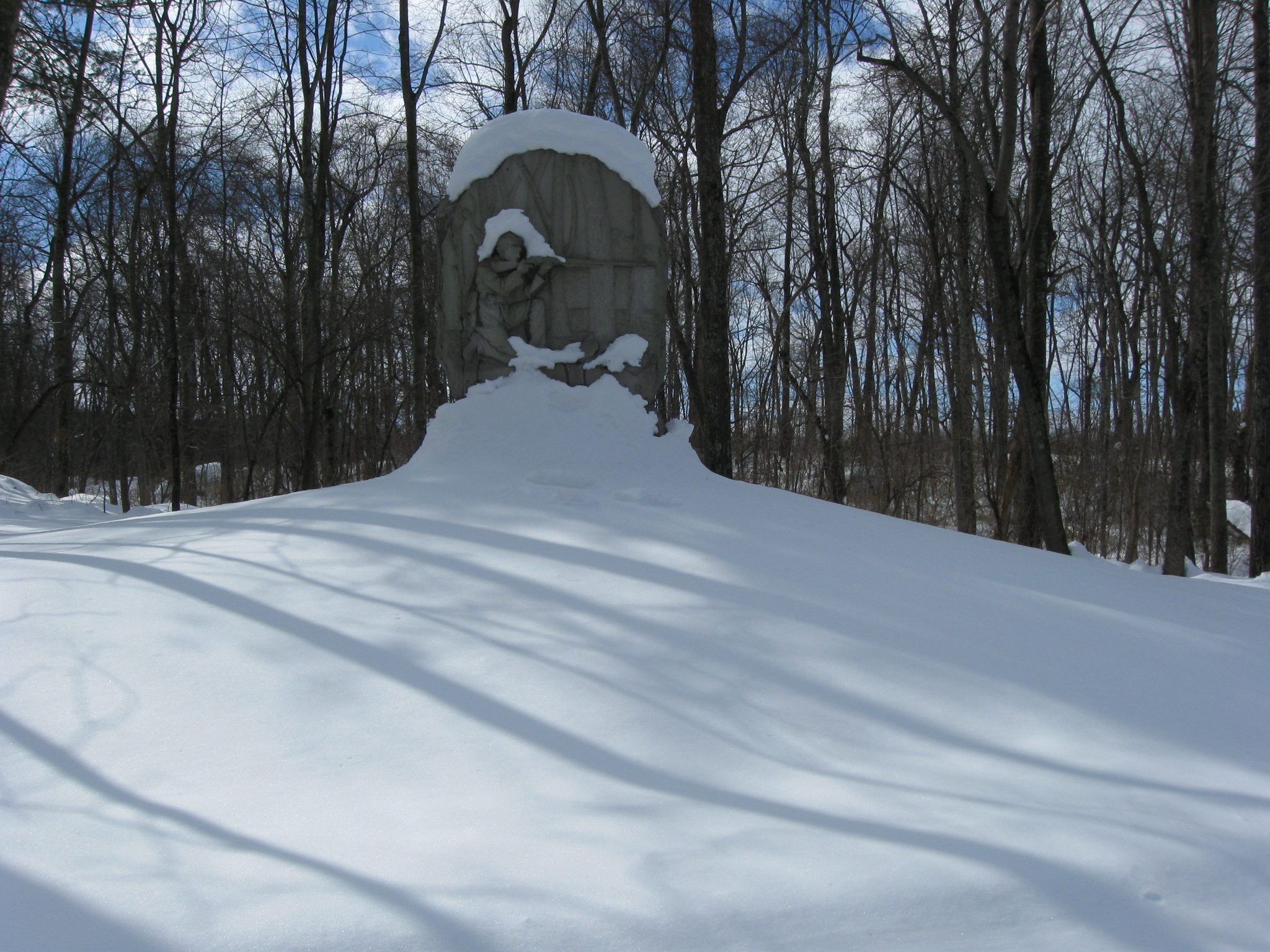
The monument to the 13th New Jersey Infantry Regiment on Carman Avenue in McAllister’s Woods. This view was taken facing southwest at approximately 1:00 PM on Sunday, February 14, 2010.
The Gettysburg area now has sunshine and highs in the 60s. However, even though we have officially reached the spring season, we wanted to take a last opportunity to show you Gettysburg in the snow. During one of the days before the park roads were cleared we walked to and around Culp’s Hill just to document the appearance of the snow covered landscape. Today we visit Spangler’s Meadow and McAllister’s Woods.
See the following related posts:
Gettysburg’s February 6th “Blizzard,” the Morning After: Part 1 on February 8, 2010.
Gettysburg’s February 6th “Blizzard,” the Morning After: Part 2 on February 9, 2010.
Gettysburg’s February 6th “Blizzard,” the Morning AFter: Part 3 on February 10, 2010.
Gettysburg’s February 10th Snow Storm: Cemetery Ridge Part 1 on February 15, 2010.
Gettysburg’s February 10th Snow Storm: Cemetery Ridge Part 2 on February 16, 2010.
Gettysburg’s February 10th Snow Storm: Cemetery Ridge Part 3 on February 17, 2010.
Gettysburg’s February 10th Snow Storm: Cemetery Ridge Part 4 on February 18, 2010.
Gettysburg’s February 10th Snow Storm: Doubleday Avenue on February 23, 2010.
Gettysburg’s February 10th Snow Storm: Wainwright Avenue on March 16, 2010.
Gettysburg’s February 10th Snow Storm: Stevens’ Knoll and Culp’s Hill Summit on March 17, 2010.
Gettysburg’s February 10th Snow Storm: Culp’s Hill Southern/Southeastern Slope on March 18, 2010.
Gettysburg’s February 10th Snow Storm: Lower Culp’s Hill/Spangler’s Hill on March 19, 2010.
We’re continuing our Culp’s Hill tour by moving off Lower Culp’s Hill/Spangler’s Hill. We are on Slocum Avenue. The monument to the 46th Pennsylvania is in the left background. This view was taken facing north at approximately 1:00 PM on Sunday, February 14, 2010.
The monument to the 107th New York Infantry Regiment is in the left background. The monument to the 1st Maryland Potomac Home Brigade (USA) is on the right. This view was taken facing south at approximately 1:00 PM on Sunday, February 14, 2010.
Spangler’s Meadow with McAllister’s Hill in the background. The monument to the 107th New York is on the right. This view was taken facing south at approximately 1:00 PM on Sunday, February 14, 2010.
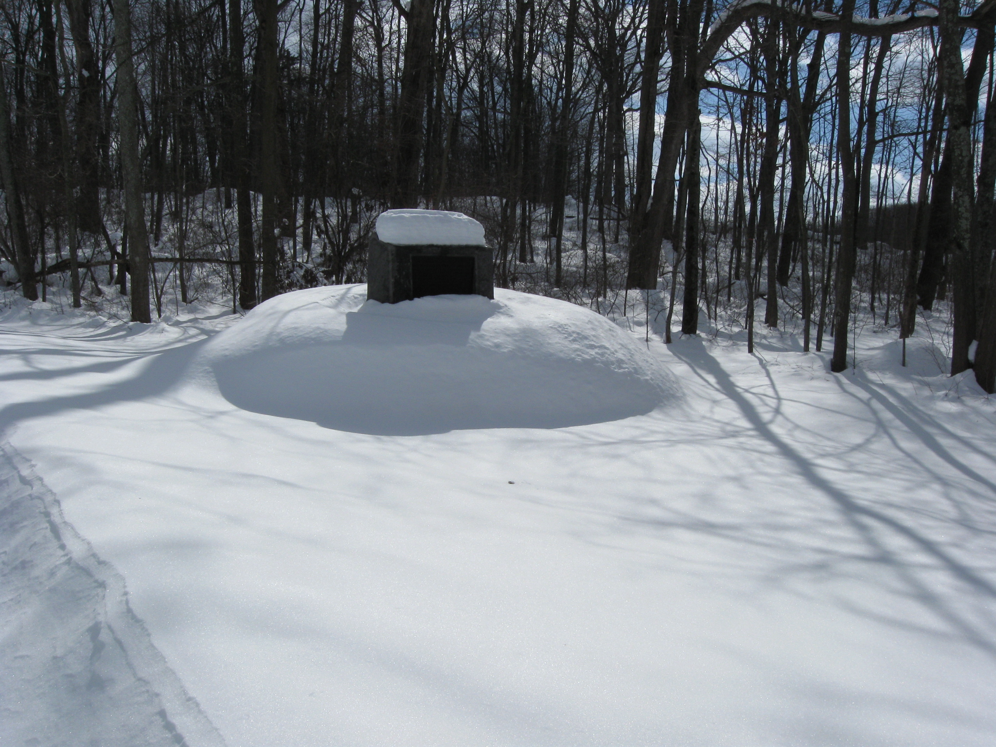
We’ve now moved off Lower Culp’s Hill/Spangler’s Hill to Spangler’s Spring. This view was taken facing southwest at approximately 1:00 PM on Sunday, February 14, 2010.
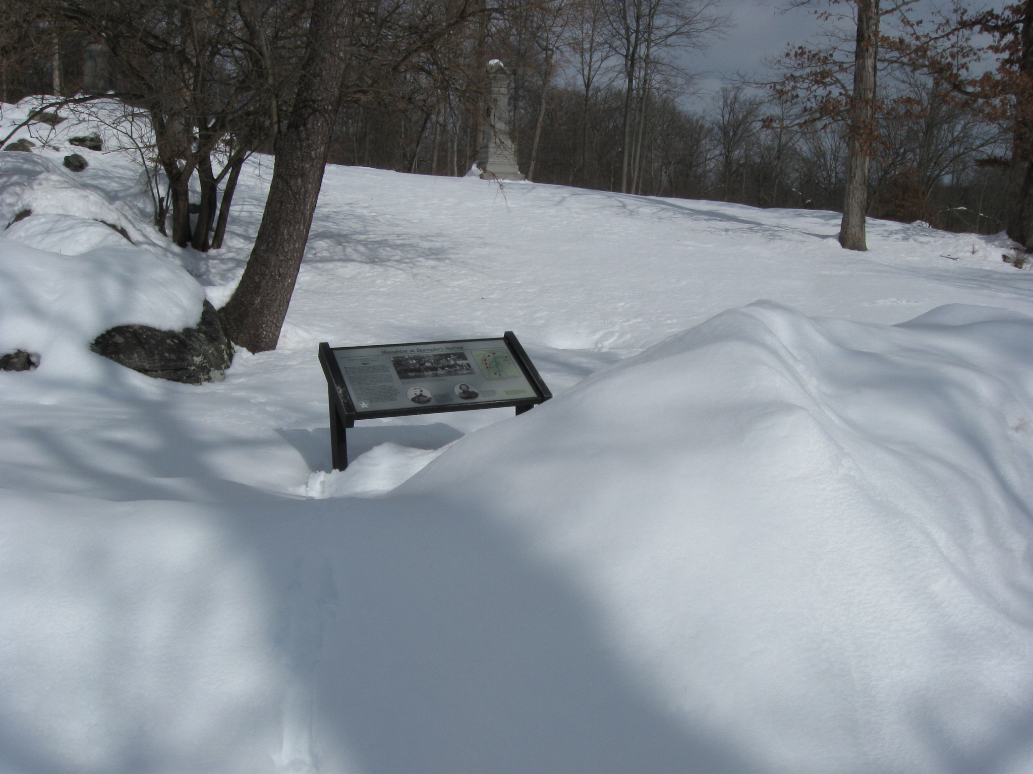
The Spangler’s Spring wayside marker with the monument to the 107th New York in the background. This view was taken facing northeast at approximately 1:00 PM on Sunday, February 14, 2010.
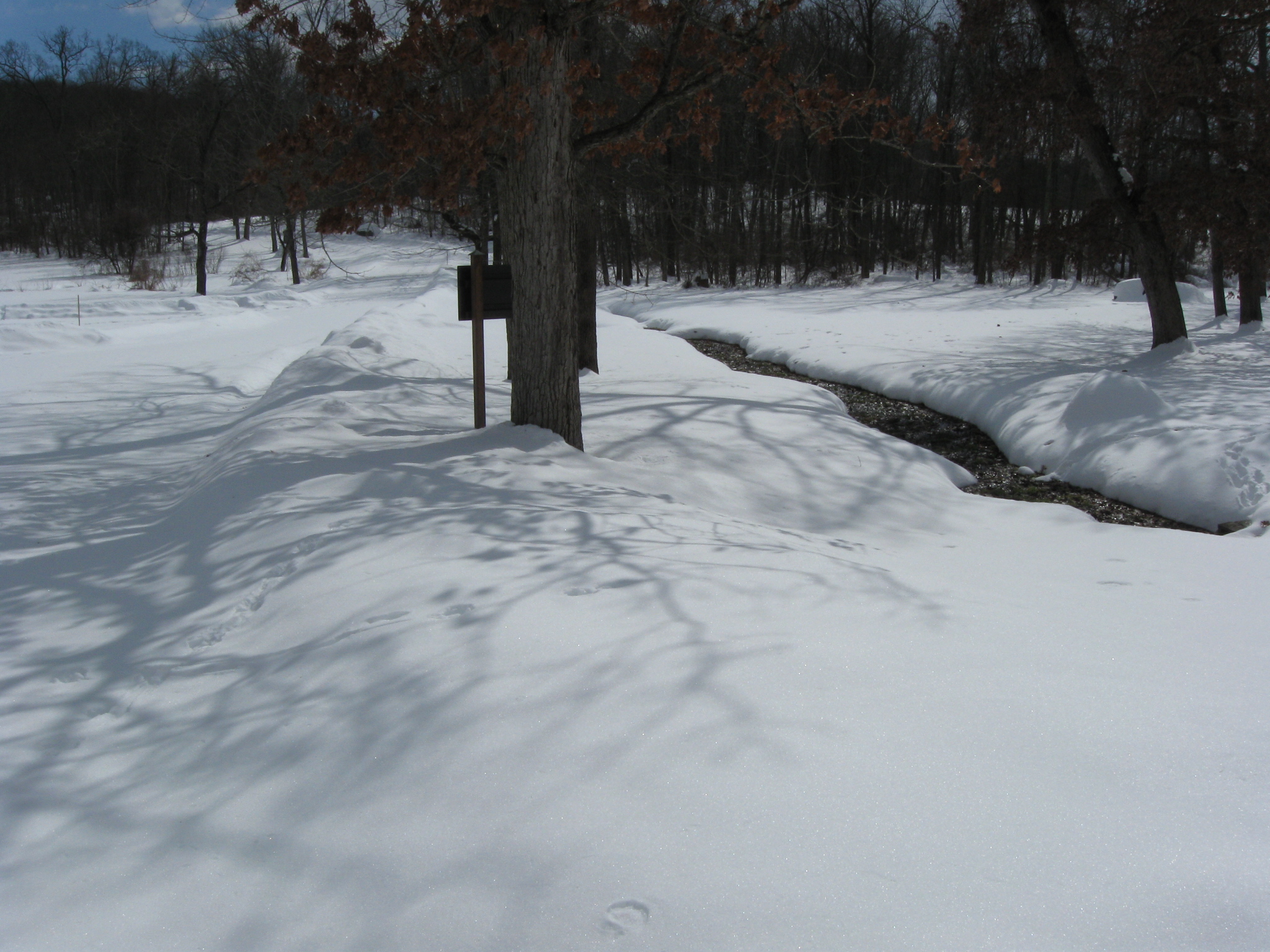
Colgrove Avenue is on the left, running away from the camera. The waters flowing from the Spangler’s Spring area towards Rock Creek are on the right. This view was taken facing southeast at approximately 1:00 PM on Sunday, February 14, 2010.
The 107th New York monument was dedicated on September 17, 1888. This view was taken facing northeast at approximately 1:00 PM on Sunday, February 14, 2010.
Looking “up” Colgrove Avenue towards the direction from which we came. Spangler’s Spring is in the left background. This view was taken facing northwest at approximately 1:00 PM on Sunday, February 14, 2010.
Spangler’s Meadow. The Indiana State Monument is on the right. The marker for the 27th Indiana Infantry Regiment is in the left background. This view was taken facing east at approximately 1:00 PM on Sunday, February 14, 2010.
Another view of Spangler’s Meadow. Indiana State Monument on the left. 27th Indiana marker to its right. This view was taken facing northeast at approximately 1:00 PM on Sunday, February 14, 2010.
Moving “down” Colgrove Avenue towards McAllister’s Woods, which are in the right background. This view was taken facing southeast at approximately 1:00 PM on Sunday, February 14, 2010.
The monument to the 27th Indiana is on the left of Colgrove Avenue. The monument to the 2nd Massachusetts Infantry Regiment is on the right. This view was taken facing southeast at approximately 1:00 PM on Sunday, February 14, 2010.
The 2nd Massachusetts Monument is considered to be the first regimental monument on the Gettysburg Battlefield. This view was taken facing south at approximately 1:00 PM on Sunday, February 14, 2010.
It was dedicated in 1879. This view was taken facing west at approximately 1:00 PM on Sunday, February 14, 2010.
The monument to the 27th Indiana Infantry Regiment was dedicated on October 28, 1885. This view was taken facing northeast at approximately 1:00 PM on Sunday, February 14, 2010.
The monument to the 27th Indiana is in the foreground. The advance marker to the 27th Indiana is in the background, just to the left of the 27th Indiana Monument. The Indiana State Monument is in the left background. This view was taken facing northeast at approximately 1:00 PM on Sunday, February 14, 2010.
At the junction of Carman Avenue, on the left, and Colgrove Avenue on the right. This view was taken facing southeast at approximately 1:00 PM on Sunday, February 14, 2010.
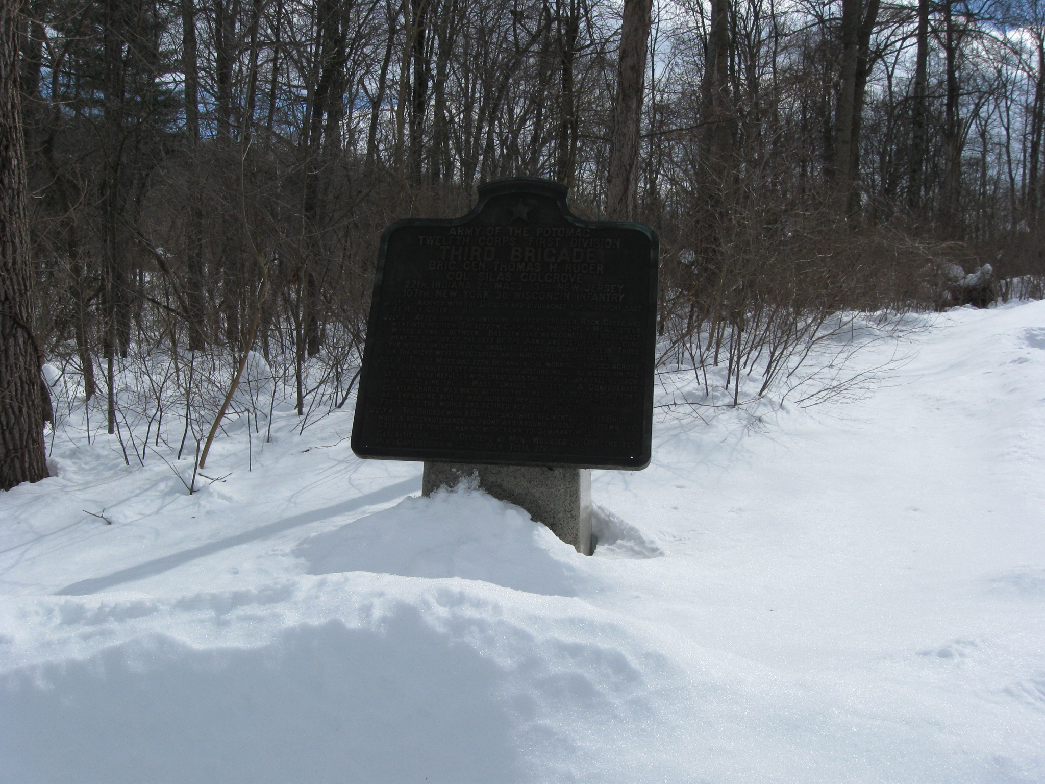
The Colgrove Brigade marker. This view was taken facing southeast at approximately 1:00 PM on Sunday, February 14, 2010.
We’ll take Colgrove Avenue as we walk uphill in McAllister’s Woods. This view was taken facing south at approximately 1:00 PM on Sunday, February 14, 2010.
The monument to the 3rd Wisconsin Infantry Regiment. In the background is McAllister’s Field. This view was taken facing south at approximately 1:00 PM on Sunday, February 14, 2010.
Looking back the way we came. This view was taken facing north at approximately 1:00 PM on Sunday, February 14, 2010.
Again we come to the junction of Colgrove Avenue (straight ahead) and Carman Avenue on the left. This view was taken facing south at approximately 1:00 PM on Sunday, February 14, 2010.
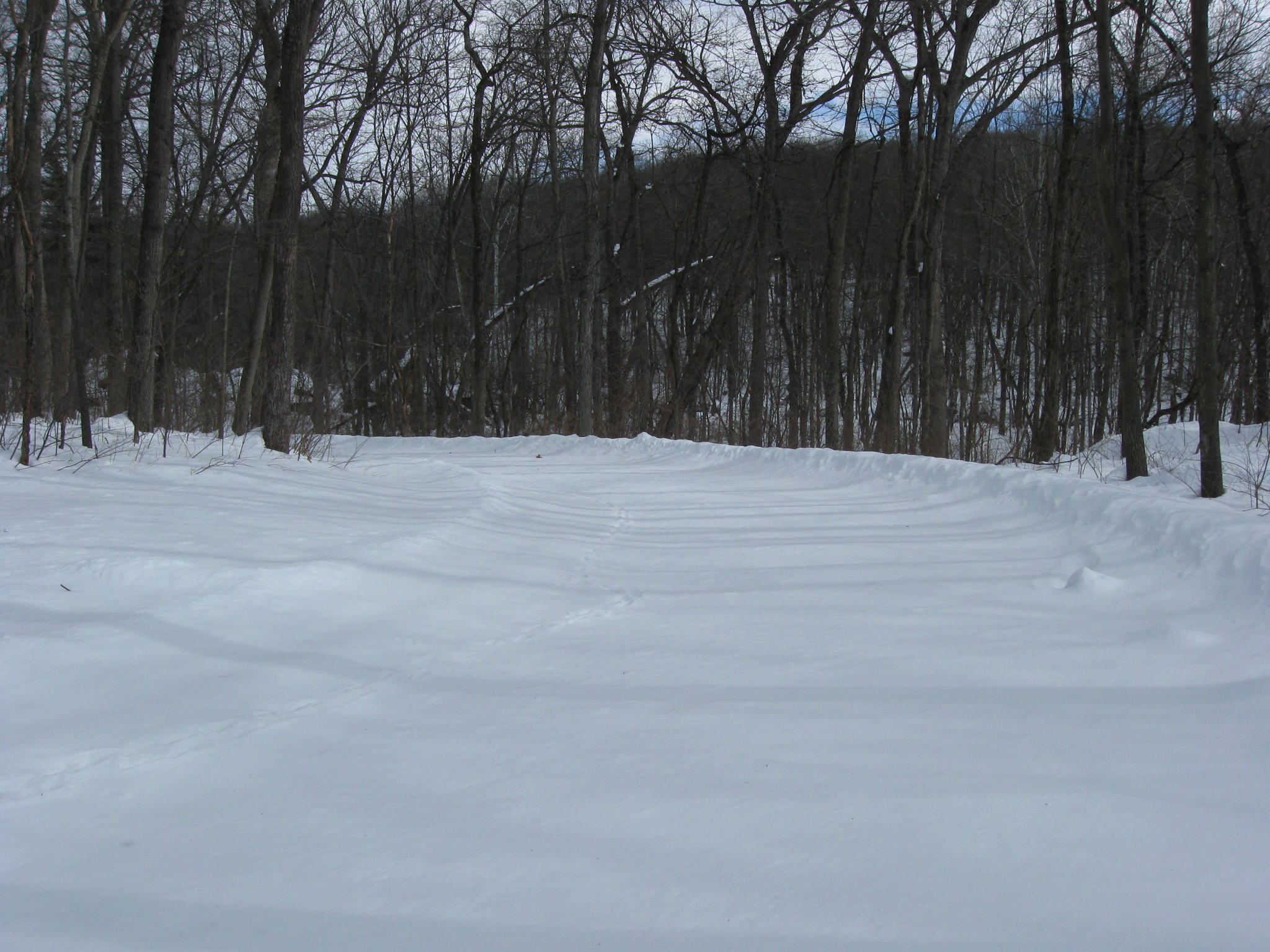
We’re taking Carman Avenue, and except for the little critters in the area, we’re the first to be on it since the snow fell. This view was taken facing northeast at approximately 1:00 PM on Sunday, February 14, 2010.
Rock Creek is below the stones in the right background. This view was taken facing northeast at approximately 1:00 PM on Sunday, February 14, 2010.
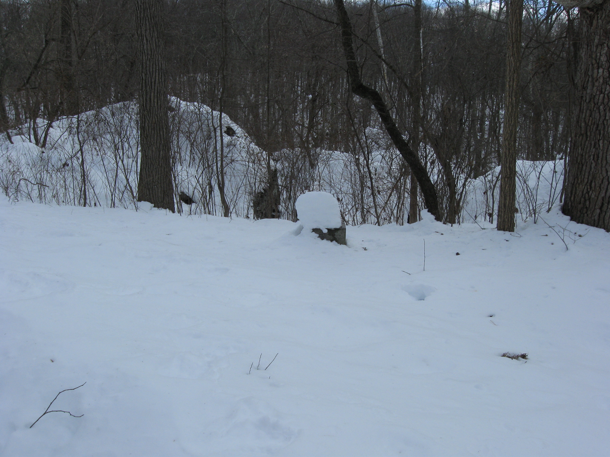
The snow covered, right flank marker for the 13th New Jersey Infantry Regiment. This view was taken facing northeast at approximately 1:00 PM on Sunday, February 14, 2010.
The trees on Lower Culp’s Hill/Spangler’s Hill are visible in the background. The monument to the 13th New Jersey is on the left. This view was taken facing northwest at approximately 1:00 PM on Sunday, February 14, 2010.
Colonel Edward Ayres Carman of the 13th New Jersey was later very instrumental in setting up the battlefields at Antietam, Shiloh, and Chickamauga-Chattanooga. This view was taken facing southwest at approximately 1:00 PM on Sunday, February 14, 2010.
The monument to the 13th New Jersey Infantry Regiment was dedicated on July 1, 1887. This view was taken facing southwest at approximately 1:00 PM on Sunday, February 14, 2010.
We then continued on Carman Avenue, back to Colgrove Avenue. This view was taken facing northwest at approximately 1:00 PM on Sunday, February 14, 2010.