Gettysburg’s February 10th Snow Storm: Cemetery Ridge Part 2
February 16, 2010
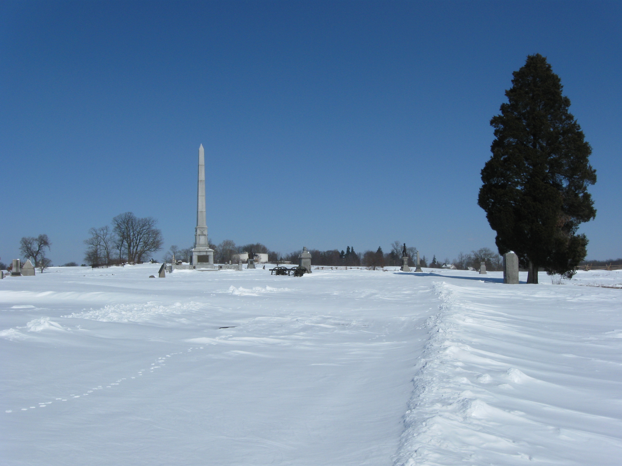
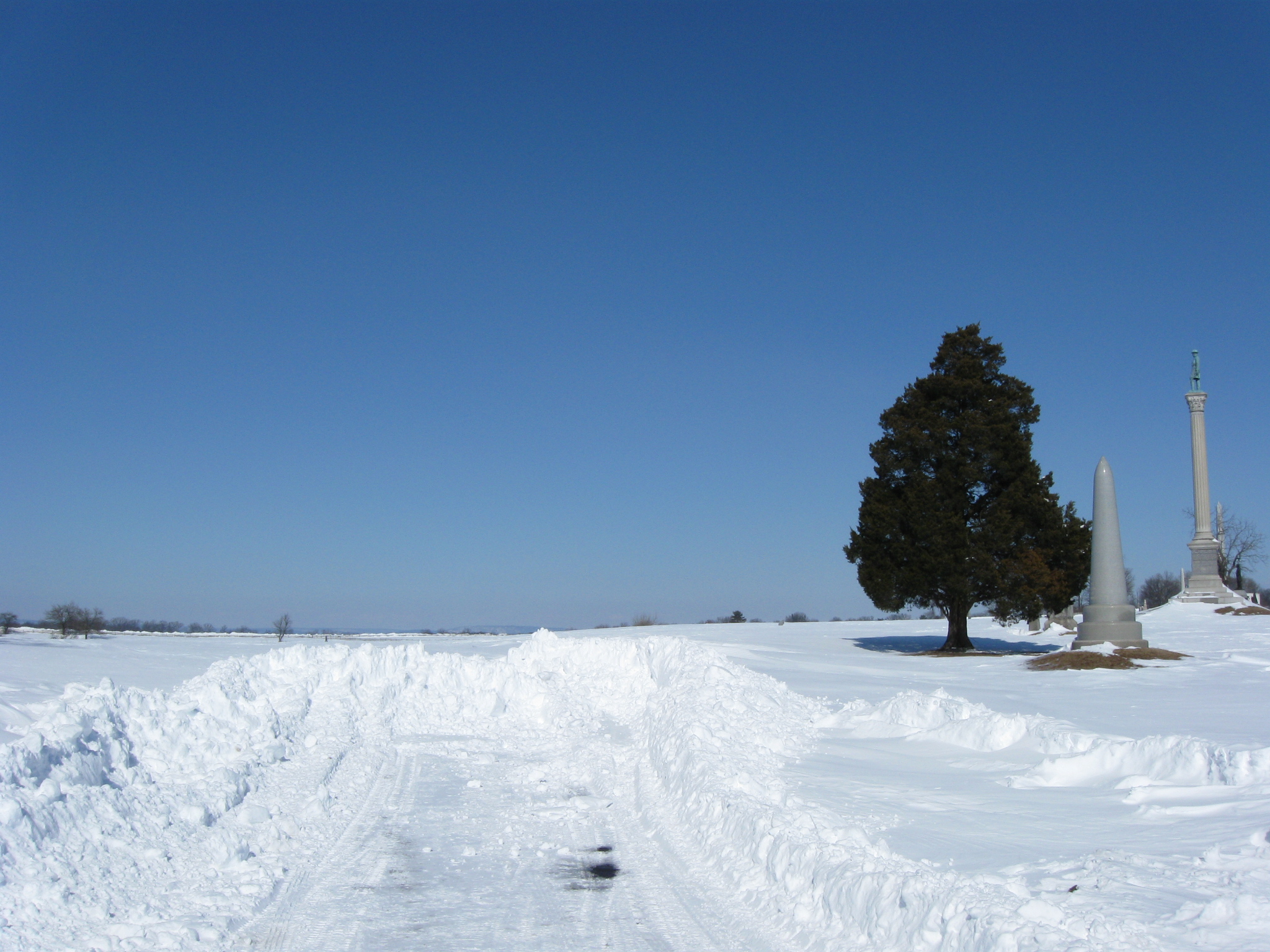
We are standing on Cemetery Ridge looking towards the High Water Mark area. The unplowed Hancock Avenue is visible in the right foreground. Some animal tracks are visible on Hancock Avenue’s snow. This view was taken facing north at approximately 12:30 PM on Friday, February 12, 2010.
The Gettysburg area received another big snow fall beginning Tuesday afternoon (February 9th) and ending the evening of Wednesday February 10th. We briefly made it out on Thursday, and took a Bushman Farm panorama, but we were able to spend much more time in the Cemetery Ridge area on Friday.
In our first post, we’ll saw some photographs of Pleasonton Avenue, and scenes around the Pennsylvania Monument area.
In today’s post we trudge along the unplowed/unploughed Hancock Avenue towards the High Water Mark area.
See the following related posts:
Gettysburg’s February 6th “Blizzard,” the Morning After: Part 1 on February 8, 2010.
Gettysburg’s February 6th “Blizzard,” the Morning After: Part 2 on February 9, 2010.
Gettysburg’s February 6th “Blizzard,” the Morning AFter: Part 3 on February 10, 2010.
Gettysburg’s February 10th Snow Storm: Cemetery Ridge Part 1 on February 14, 2010.
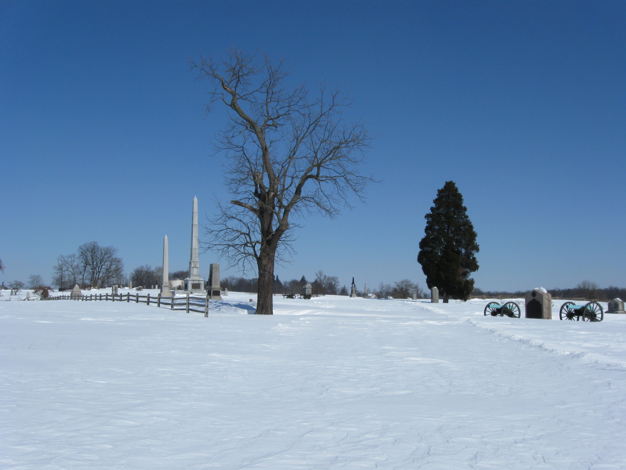
So again, we’re starting at the area that the National Park Service decided not to plow. While sometimes the drifting would cause the snow to be waist deep, it certainly gave us a lot of pictures without “human disturbed” snow. The 14th Vermont Monument is closest to the camera. The Vermont State Monument is the tallest in the right background. This view was taken facing northwest at approximately 12:30 PM on Friday, February 12, 2010.
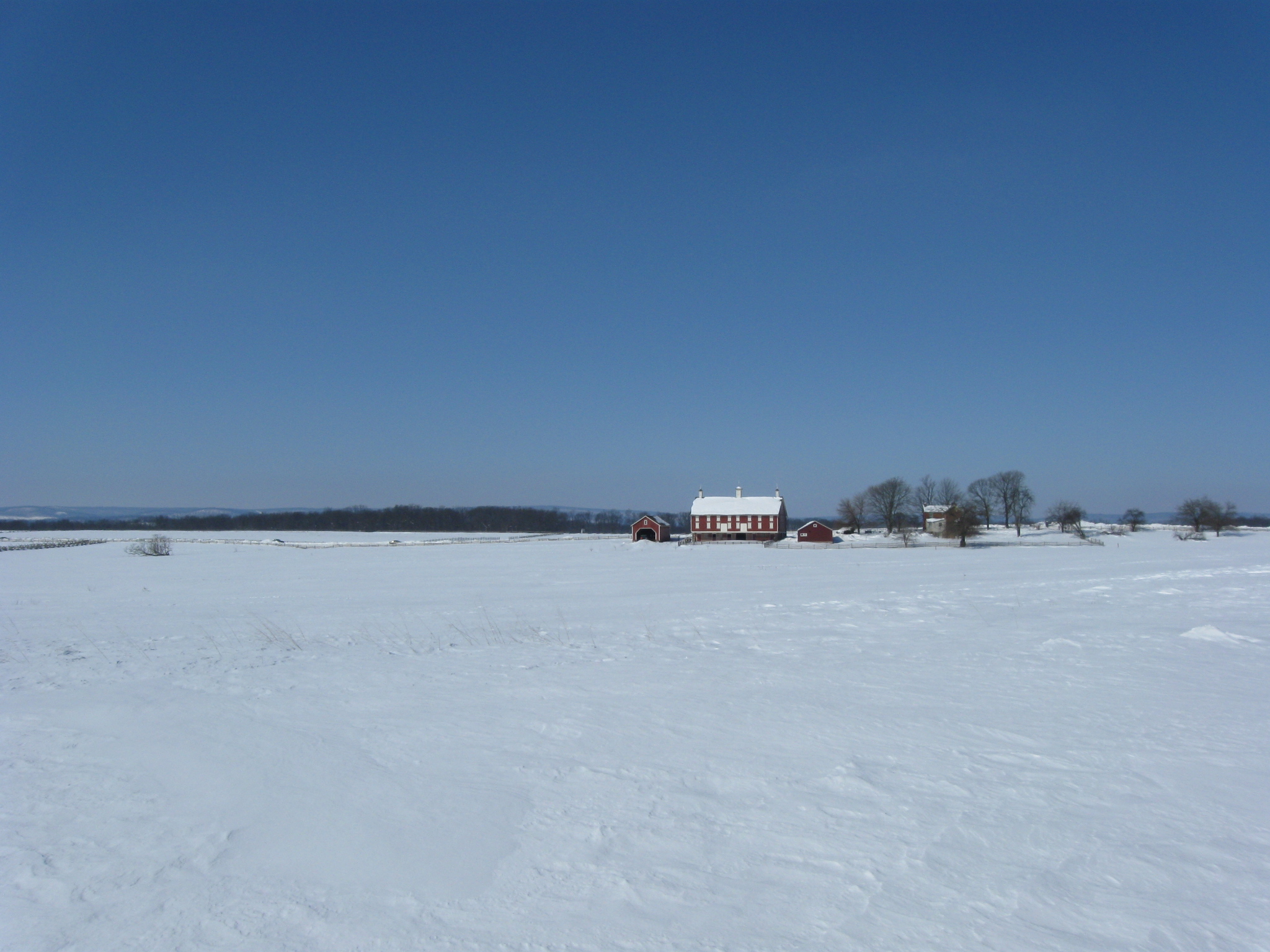
The Codori Farm. The Confederate positions on Seminary Ridge are marked by the tree line left of and behind the Codori Barn. This view was taken facing west at approximately 12:30 PM on Friday, February 12, 2010.
The Vermont State Monument is the tall monument in the center of this view. The monument to the 16th Vermont is closest to the camera. This view was taken facing northeast at approximately 12:30 PM on Friday, February 12, 2010.
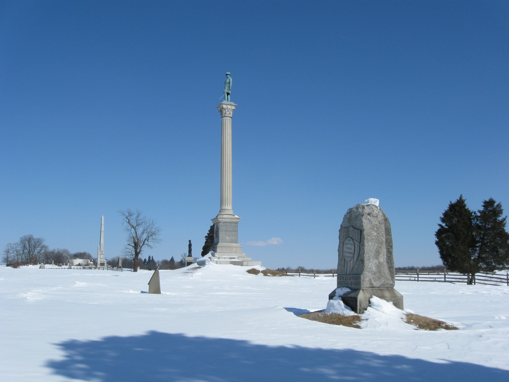
We’re at the Vermont State Monument to shoot a panorama from this location. The small marker in the snowy field shows a position of the 13th Vermont Infantry Regiment as they advanced towards the Copse/Clump of Trees and the right flank of Virginians during Pickett’s Charge. This view was taken facing west at approximately 12:30 PM on Friday, February 12, 2010.
The Vermont Monument Panorama. To the left we are facing south. Big Round Top is visible to the far left. To the right we are facing north. Cemetery Hill is visible to the right. For the larger JPEG version, click here. If you’d like to see the uncompressed TIFF file, you can download it here (33.9 MB). This view was taken facing west at approximately 12:30 PM on Friday, February 12, 2010.
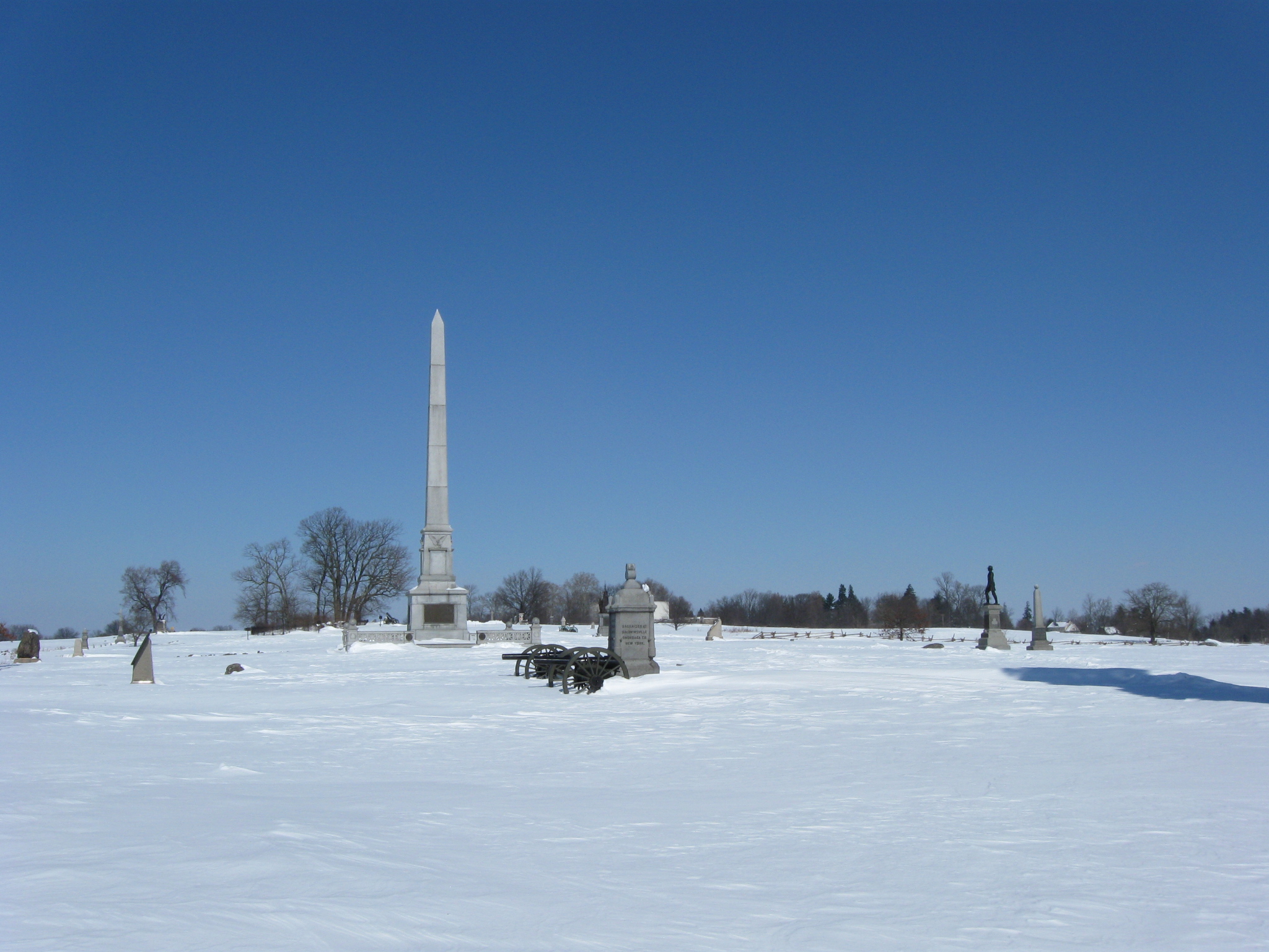
We’re continuing along Hancock Avenue. The closest tree is the John Gibbon “Wounding” witness tree. The position of Julian Weir’s Battery C, 5th United States is marked by the guns on the right. This view was taken facing north at approximately 12:30 PM on Friday, February 12, 2010.
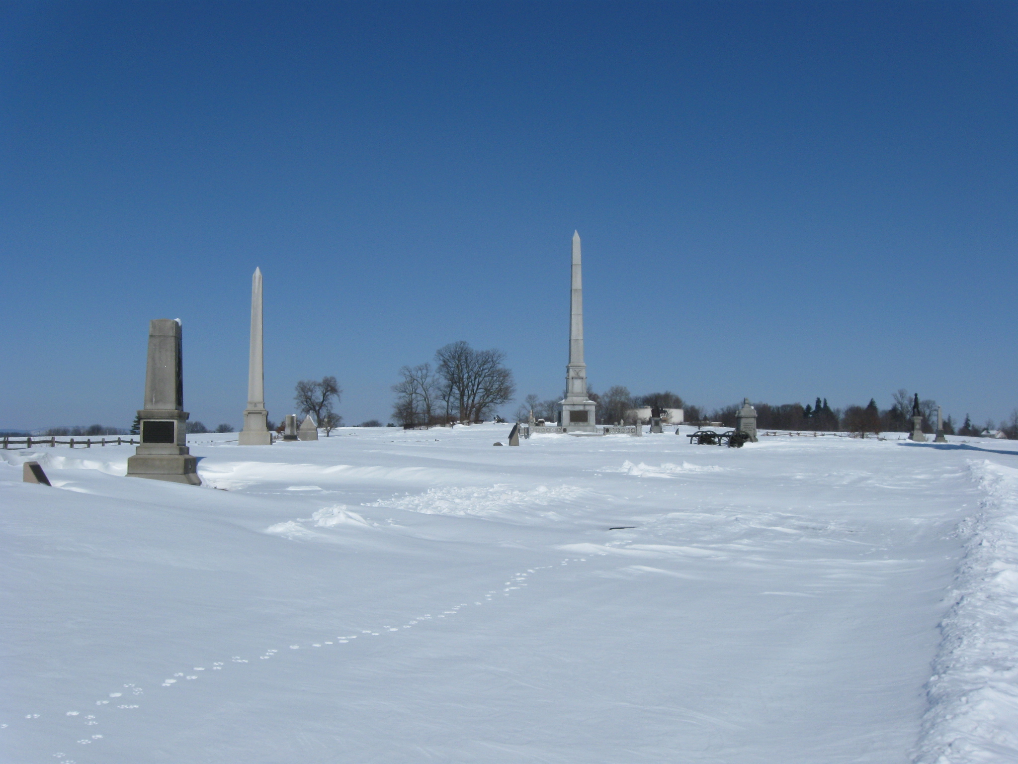
The tallest monument in this view is the monument to the U.S. Regulars. This view was taken facing north at approximately 12:30 PM on Friday, February 12, 2010.
But before we get there, we want to show some monuments on the left of this picture. This view was taken facing northwest at approximately 12:30 PM on Friday, February 12, 2010.
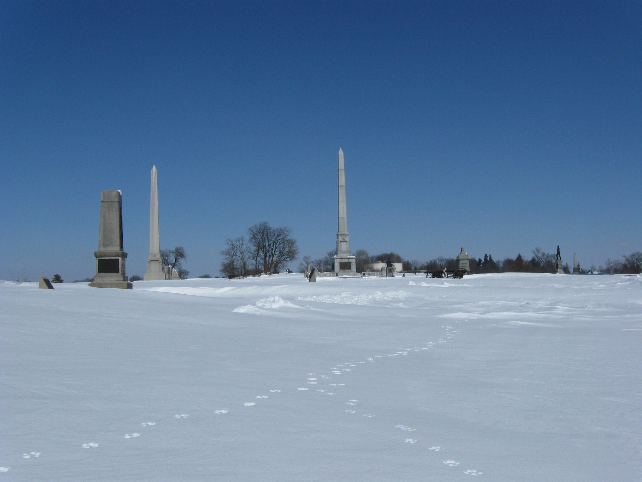
Oh yeah, more animal tracks. This view was taken facing north at approximately 12:30 PM on Friday, February 12, 2010.
The monument to the 82nd New York Infantry Regiment. This view was taken facing west at approximately 12:30 PM on Friday, February 12, 2010.
On the left is the monument to the First Minnesota Infantry Regiment (July 3rd position). On the right is the monument to the 15th Massachusetts Infantry Regiment. This view was taken facing west at approximately 12:30 PM on Friday, February 12, 2010.
The first three monuments on the far left are the 15th Massachusetts, the 19th Maine, and the 20th Massachusetts. The U.S. Regulars Monument is in the center. The artillery pieces mark the position of Captain James Rorty’s Battery. This view was taken facing north at approximately 12:30 PM on Friday, February 12, 2010.
The bronze statue of John Gibbon is on the right of Hancock Avenue. The monument to the right of the Gibbon statue is to the 121st Pennsylvania Infantry. This view was taken facing north at approximately 12:30 PM on Friday, February 12, 2010.
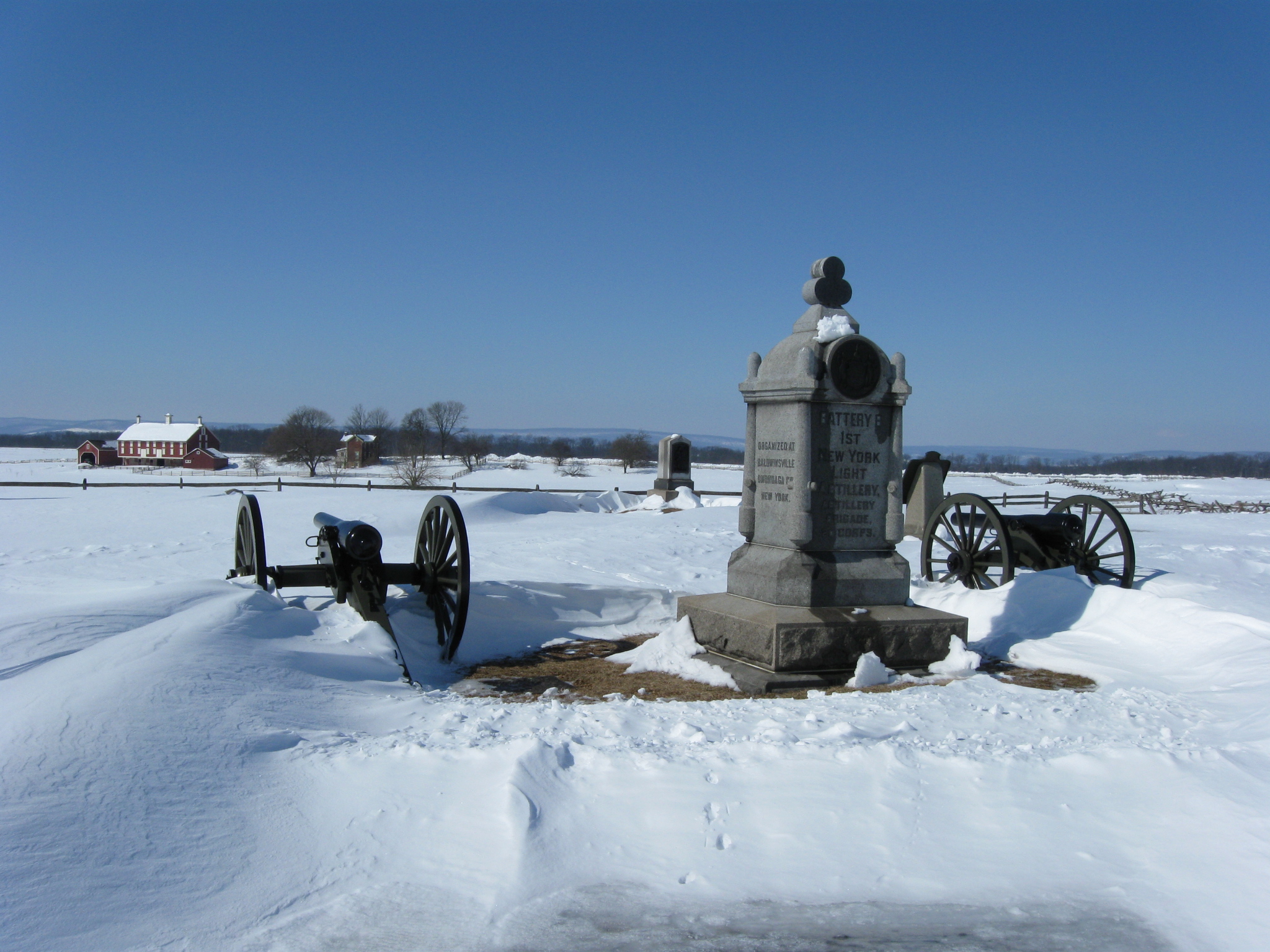
Battery B, 1st New York Light Artillery was Captain James Rorty’s Battery. The monument to the 15th Massachusetts is to the left of the battery’s monument. This view was taken facing west at approximately 12:30 PM on Friday, February 12, 2010.
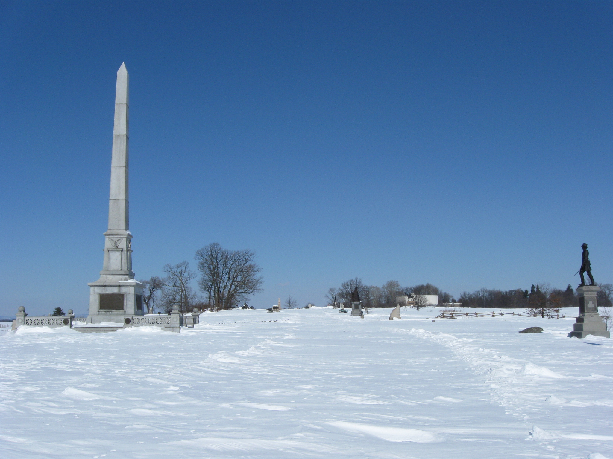
U.S Regulars Monument is to the left of Hancock Avenue, the John Gibbon statue is to the right of Hancock Avenue. This view was taken facing north at approximately 12:30 PM on Friday, February 12, 2010.
The U.S. Regulars Monument. This view was taken facing northwest at approximately 12:30 PM on Friday, February 12, 2010.
To the left of the Codori Barn is the monument to the 20th Massachusetts Infantry Regiment. To the right of the barn is the monument to the 7th Michigan Infantry Regiment. This view was taken facing west at approximately 12:30 PM on Friday, February 12, 2010.
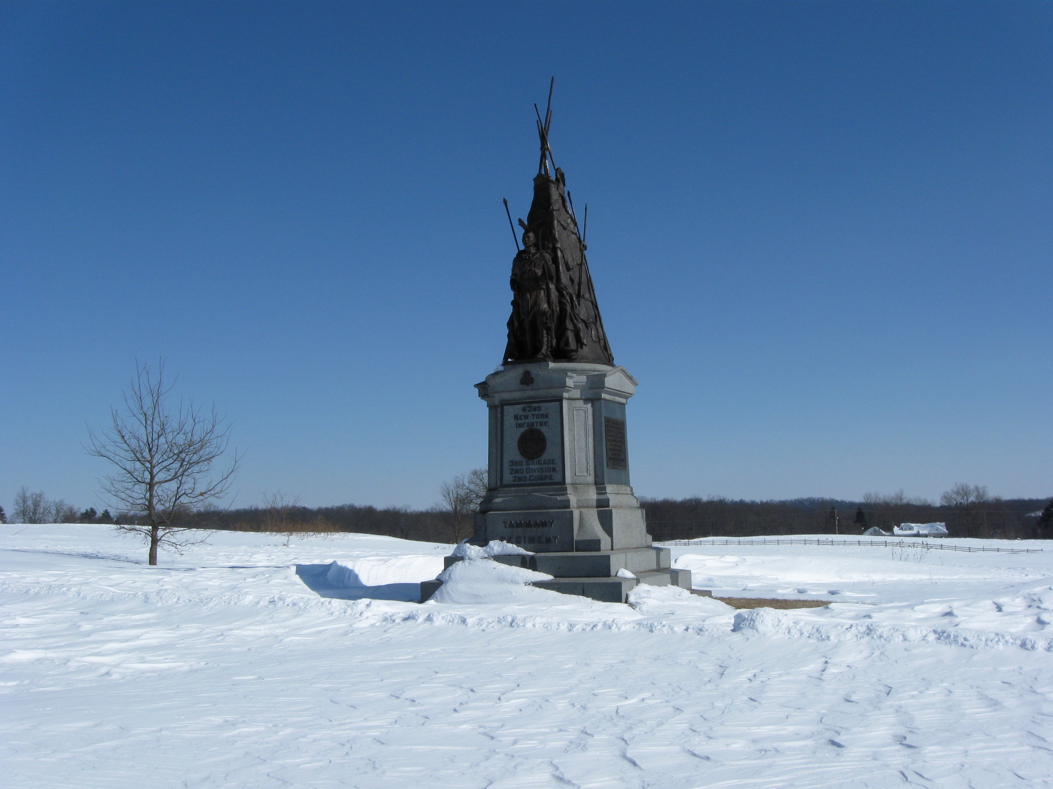
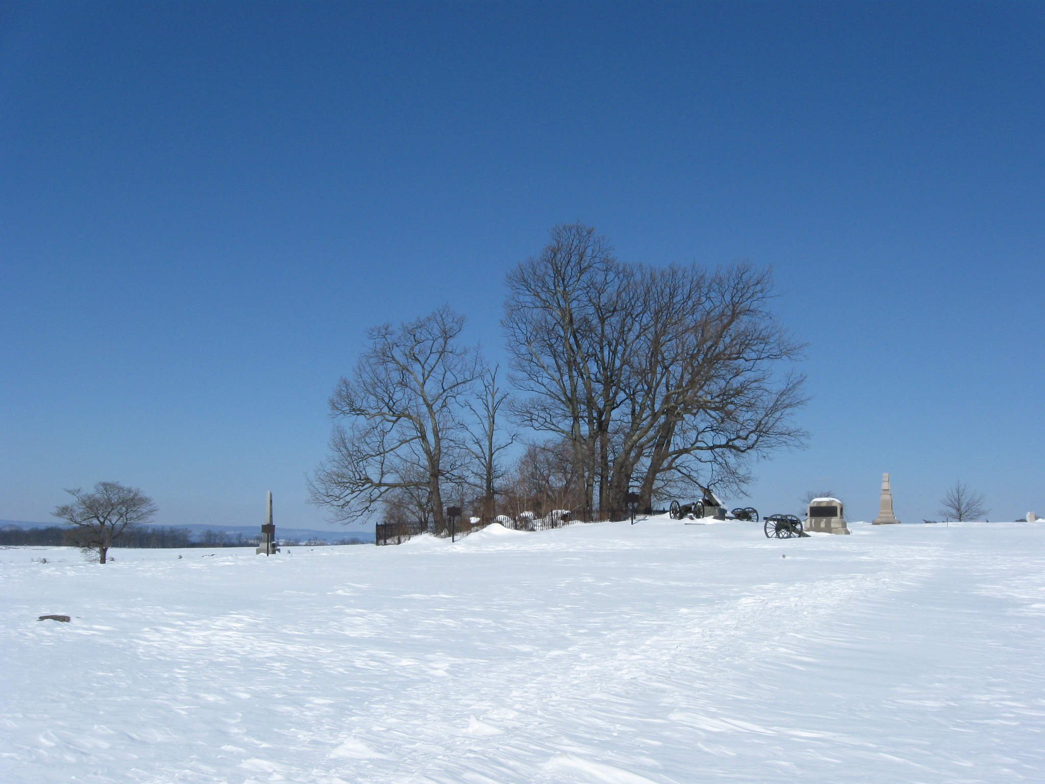
The Copse/Clump of trees is to the left of Hancock Avenue. The monument to the 42nd New York Infantry is to the right of Hancock Avenue. This view was taken facing north at approximately 12:30 PM on Friday, February 12, 2010.
The 42nd New York is known as the Tammany Regiment because it was sponsored by New York City’s Tammany Hall. This view was taken facing northeast at approximately 12:30 PM on Friday, February 12, 2010.
To the left of the Copse of Trees is the monument to the 69th Pennsylvania Infantry. To the right of the copse of trees are artillery pieces marking the location of Captain Andrew Cowan’s 1st Battery, New York Light Artillery. This view was taken facing northwest at approximately 12:30 PM on Friday, February 12, 2010.
Lieutenant T. Fred Brown’s Battery B, 1st Rhode Island. This view was taken facing northeast at approximately 12:30 PM on Friday, February 12, 2010.
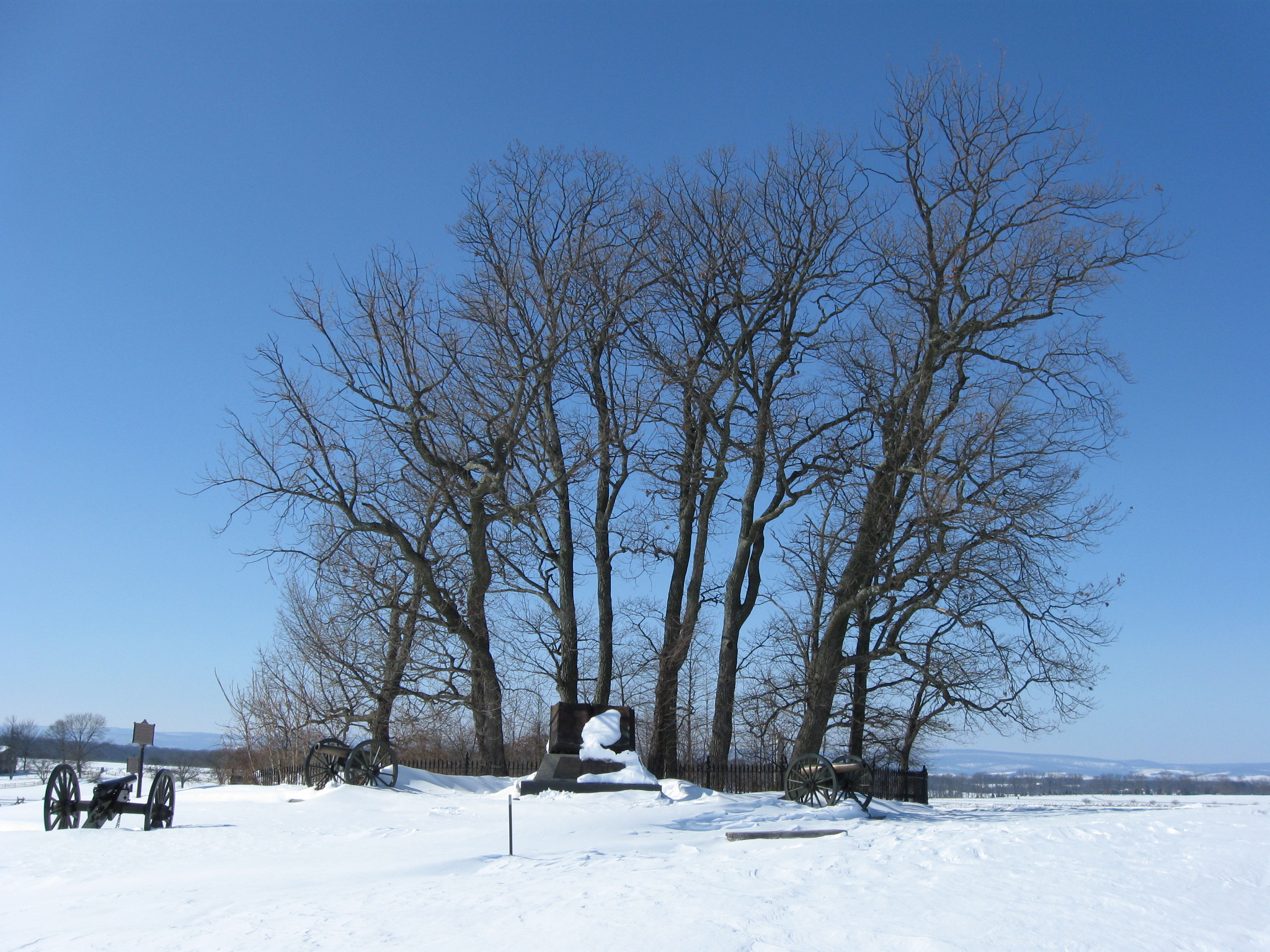
The Copse/Clump of Trees. The far left gun belongs to Cowan’s Battery. The other artillery pieces are part of the High Water Mark Monument. On the far right is the monument to the 72nd Pennsylvania Infantry Regiment. This view was taken facing west at approximately 12:30 PM on Friday, February 12, 2010.
A better view of Cowan’s artillery piece on the left. This view was taken facing west at approximately 12:30 PM on Friday, February 12, 2010.
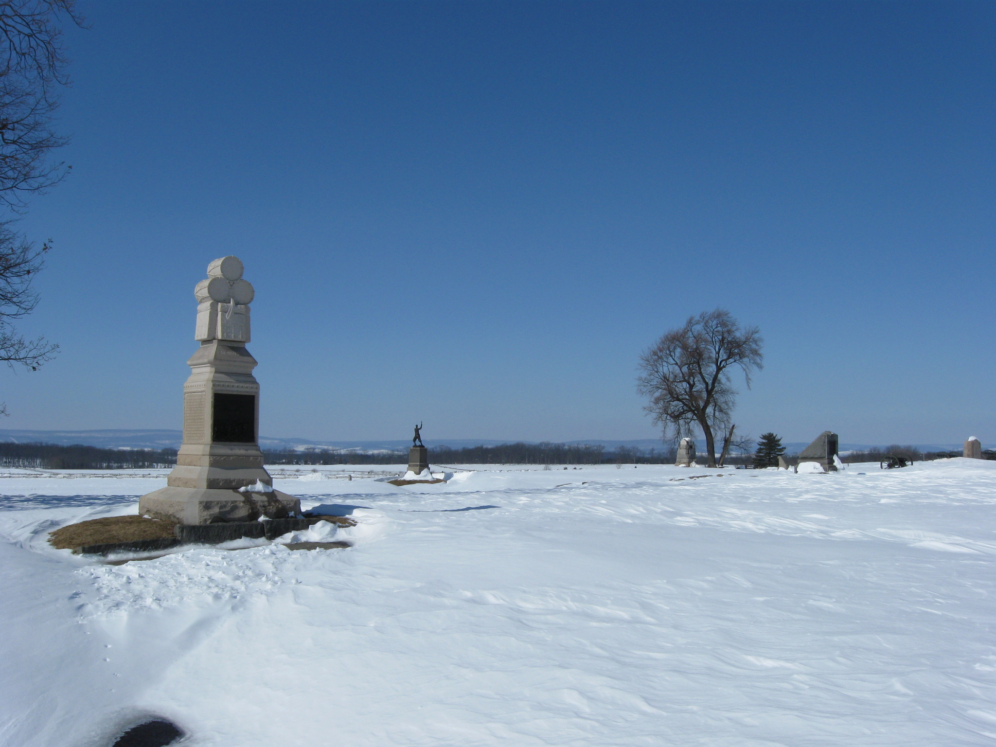
The monument to the 106th Pennsylvania Infantry Regiment is on the left. Tomorrow we will venture into “The Angle” area. This view was taken facing northwest at approximately 12:30 PM on Friday, February 12, 2010.


