

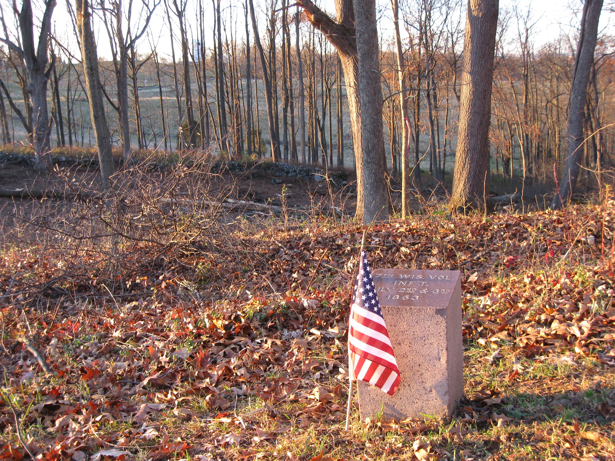
The Culp’s Hill tree cutting has finally moved to the north side of Culp’s Hill where the Iron Brigade was positioned on July 2nd and 3rd, 1863. The marker for the 7th Wisconsin Infantry Regiment is in thre foreground. On the other side of the marker are the restored earthworks. On the other side of the earthworks, the woods have been thinned out, and East Cemetery Hill with the light green/blue water tank is visible through the trees in the background. This view was taken facing northwest 4:15 PM on Friday, November 26, 2010.
The Culp’s Hill tree cutting has finally moved to the north side of Culp’s Hill where the Iron Brigade was positioned from July 2-3, 1863.
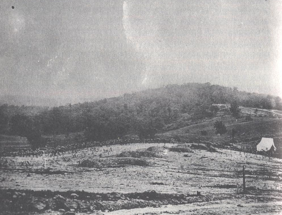
Culp’s Hill as seen from East Cemetery Hill. Notice how above the white tent, in the right background, how the trees are not present. This area without trees is the view that the National Park Service is attempting to restore. This view was taken facing southeast circa July, 1863.

A modern view of Culp’s Hill. McKnight’s Hill/Stevens’ Knoll is on the right. Between Stevens’ Knoll and Culp’s Hill is a truck that is removing the wood. This view was taken facing southeast at approximately 4:15 PM on Friday, November 26, 2010.

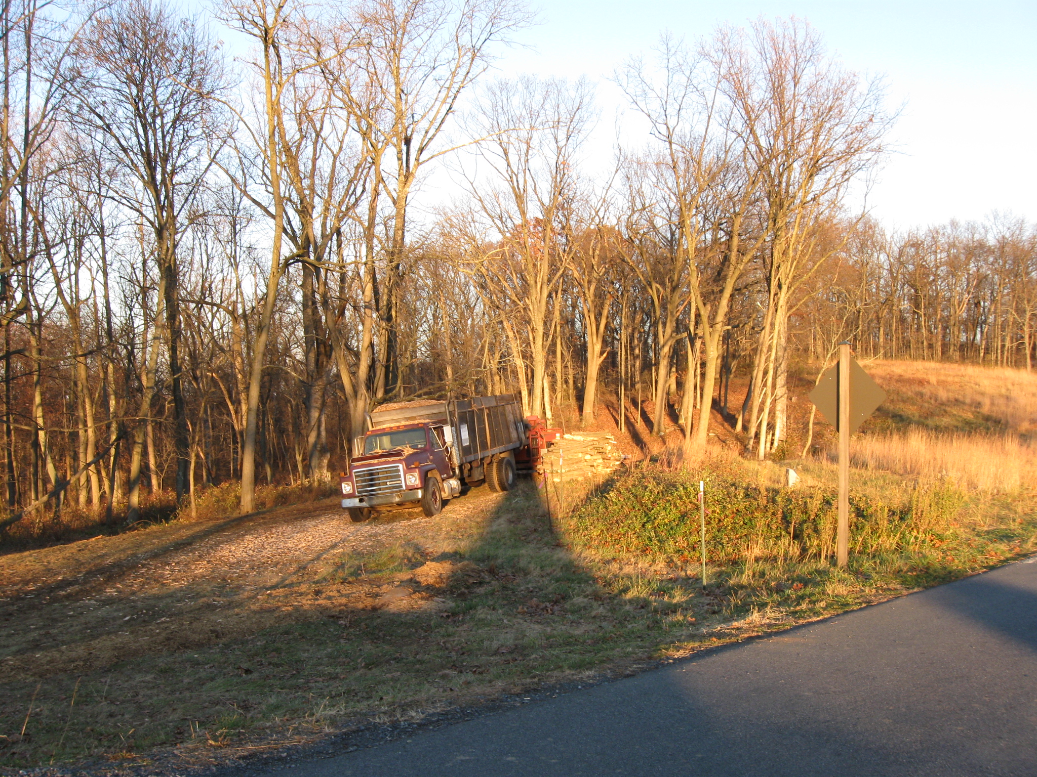
So we have now arrived back at the area where the trees are being removed. McKnight’s Hill/Stevens Knoll is out of sight on the right. In the foreground is the pulloff from Slocum Avenue for Auto Tour Stop #14. The truck removing the trees/woodchips is in the right background. This view was taken facing east at approximately 4:15 PM on Friday, November 26, 2010.

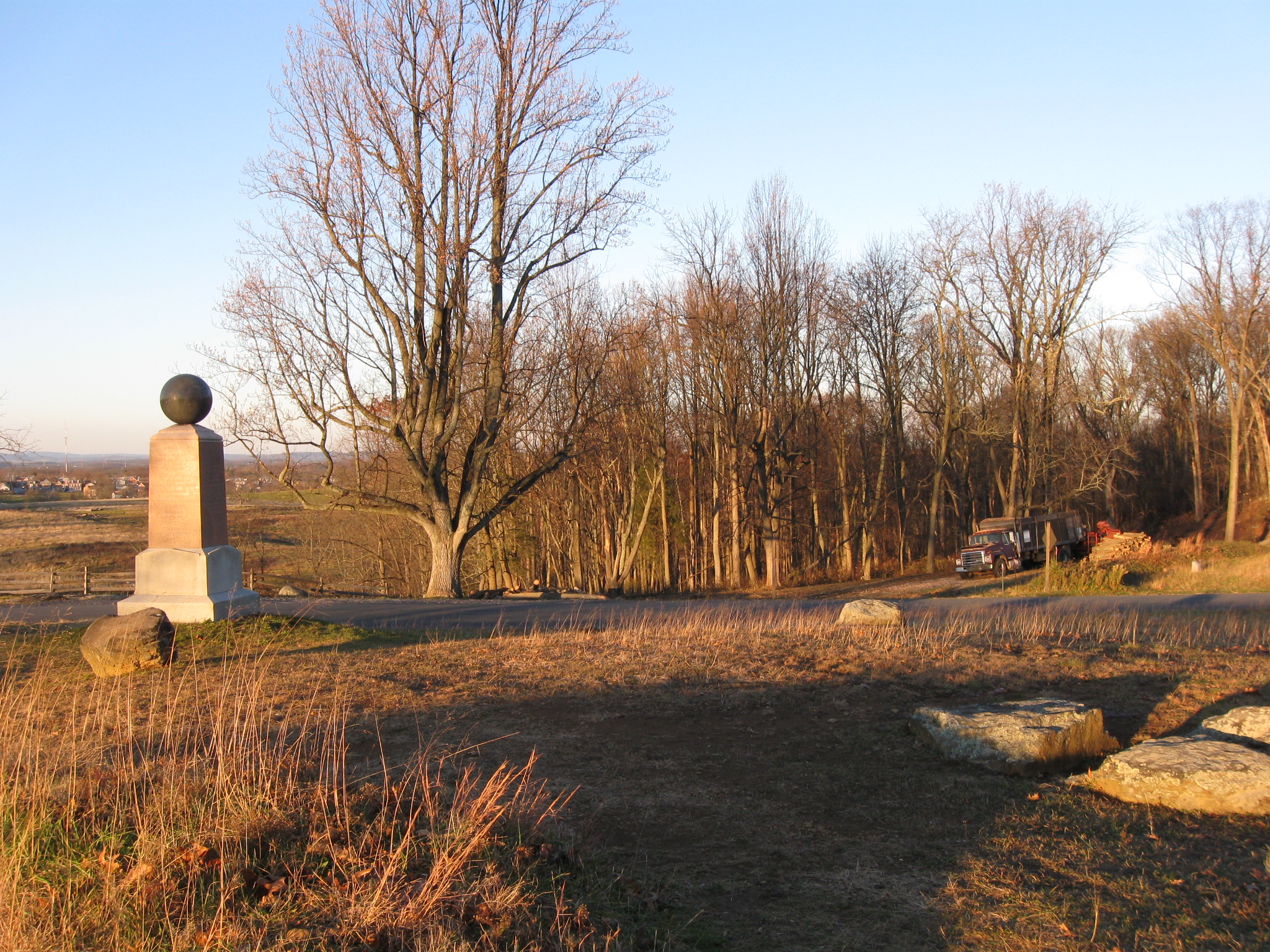
We are now looking at the tree cutting area from Stevens’ Knoll. The monument is to Greenleaf Stevens’ Battery E, 5th Maine Light Artillery. Slocum Avenue is between the monument and the tree cutting area. This view was taken facing northeast at approximately 4:15 PM on Friday, November 26, 2010.
Another view from McKnight’s Hill/Stevens’ Knoll. The Borough of Gettysburg is in the left background, below the Appalachian Mountains. The small, light colored marker to the right of the truck is to the 24th Michigan Infantry Regiment. This view was taken facing north at approximately 4:15 PM on Friday, November 26, 2010.
Again, to the right of the truck are reconstructed earthworks. To the right of the earthworks is the small, light colored marker tot he 24th Michigan. This view was taken facing northeast at approximately 4:15 PM on Friday, November 26, 2010.
A significant amount of wood has been removed from this area. The fields were crossed from right to left (east to west) by Isaac Avery’s North Carolina Brigade on the evening of July 2, 1863. The woods in the background hide buildings and structures at the Gettysburg School District. This view was taken facing north at approximately 4:15 PM on Friday, November 26, 2010.

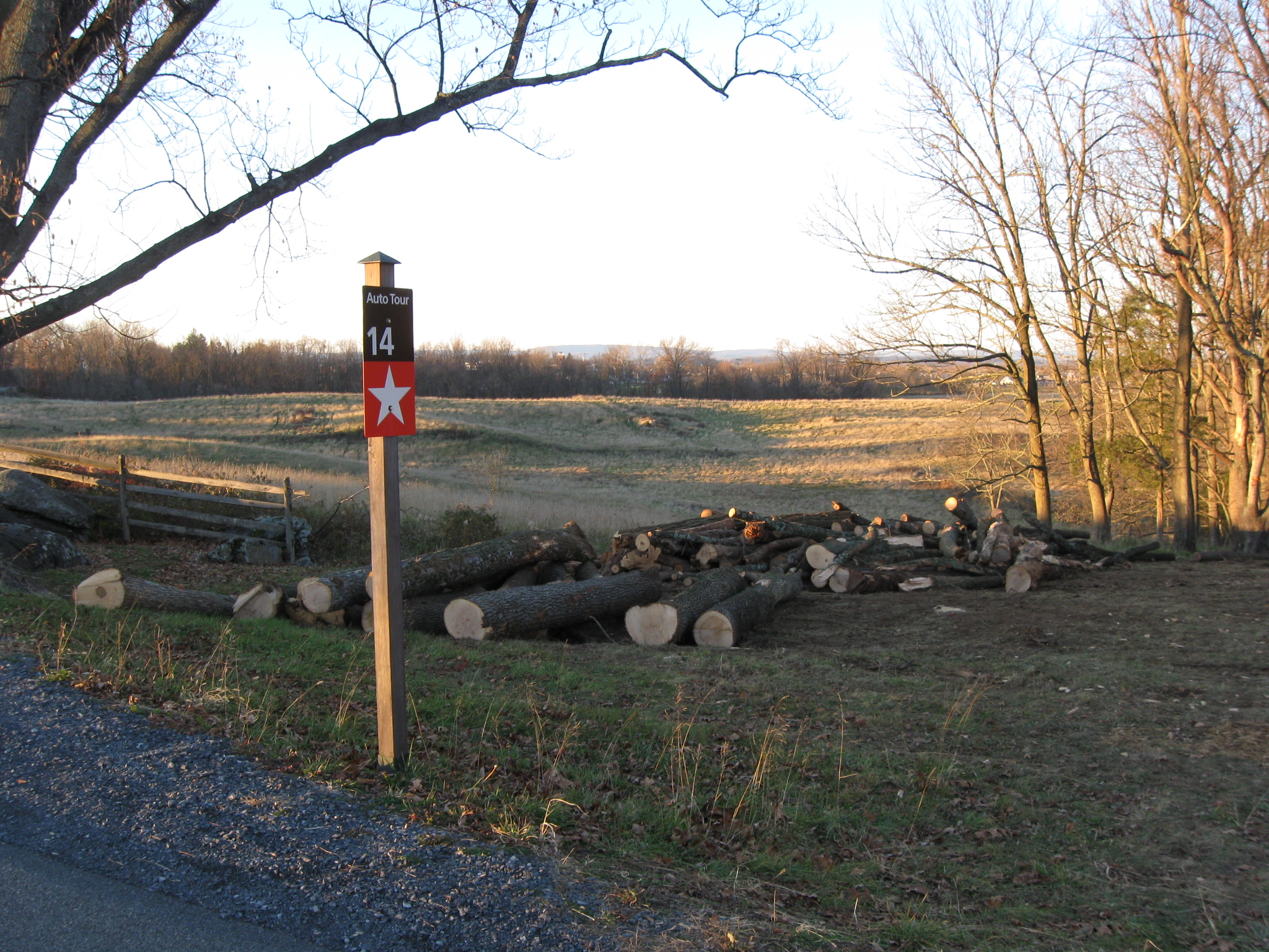
This wood is from the area cleared between the camera and the truck. However, there has been much more wood removed than from this area. This view was taken facing east at approximately 4:15 PM on Friday, November 26, 2010.

The truck is full of and covered with wood chips. There is a wood chipper hooked to the back of the truck. This view was taken facing east at approximately 4:15 PM on Friday, November 26, 2010.

We’re going to walk behind the vehicles and see how much wood has been removed. This view was taken facing east at approximately 4:15 PM on Friday, November 26.

Again, a significant amount. This view was taken facing east at approximately 4:15 PM on Friday, November 26, 2010.
There is a small marker here. This view was taken facing east at approximately 4:15 PM on Friday, November 26, 2010.

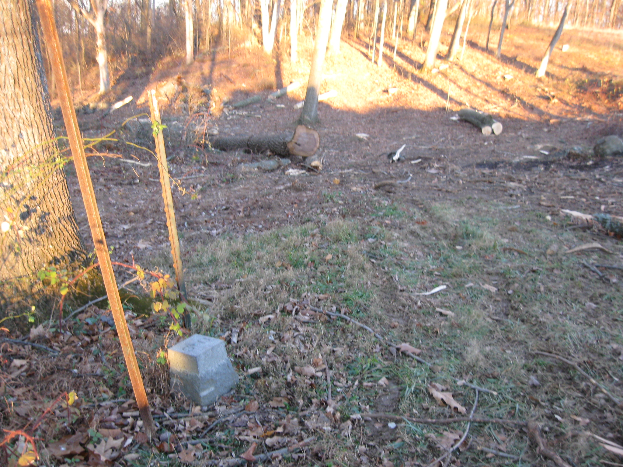
One of the old U.S. government boundary markers. This view was taken facing southwest at approximately 4:15 PM on Friday, November 26, 2010.

We will again proceed into this cleared area. This view was taken facing east at approximately 4:15 PM on Friday, November 26, 2010.

We’re looking down the slope. This view was taken facing northeast at approximately 4:15 PM on Friday, November 26, 2010.

A stone wall here has been exposed. This view was taken facing northeast at approximately 4:15 PM on Friday, November 26, 2010.

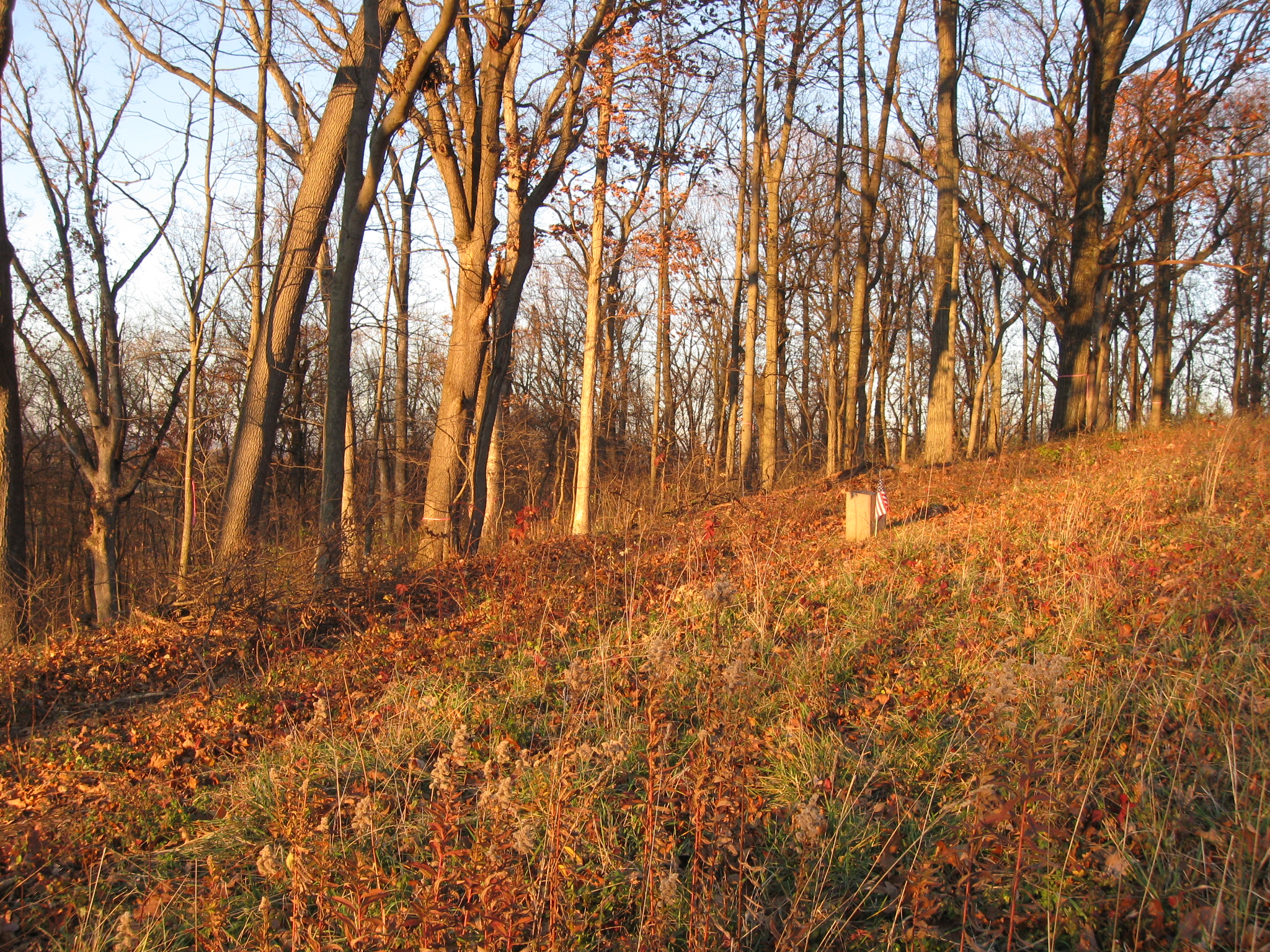
We’ll keep moving along the line of the earthworks, which is the green area just to our right. We’re moving towards the marker in the background. This view was taken facing east at approximately 4:15 PM on Friday, November 26, 2010.
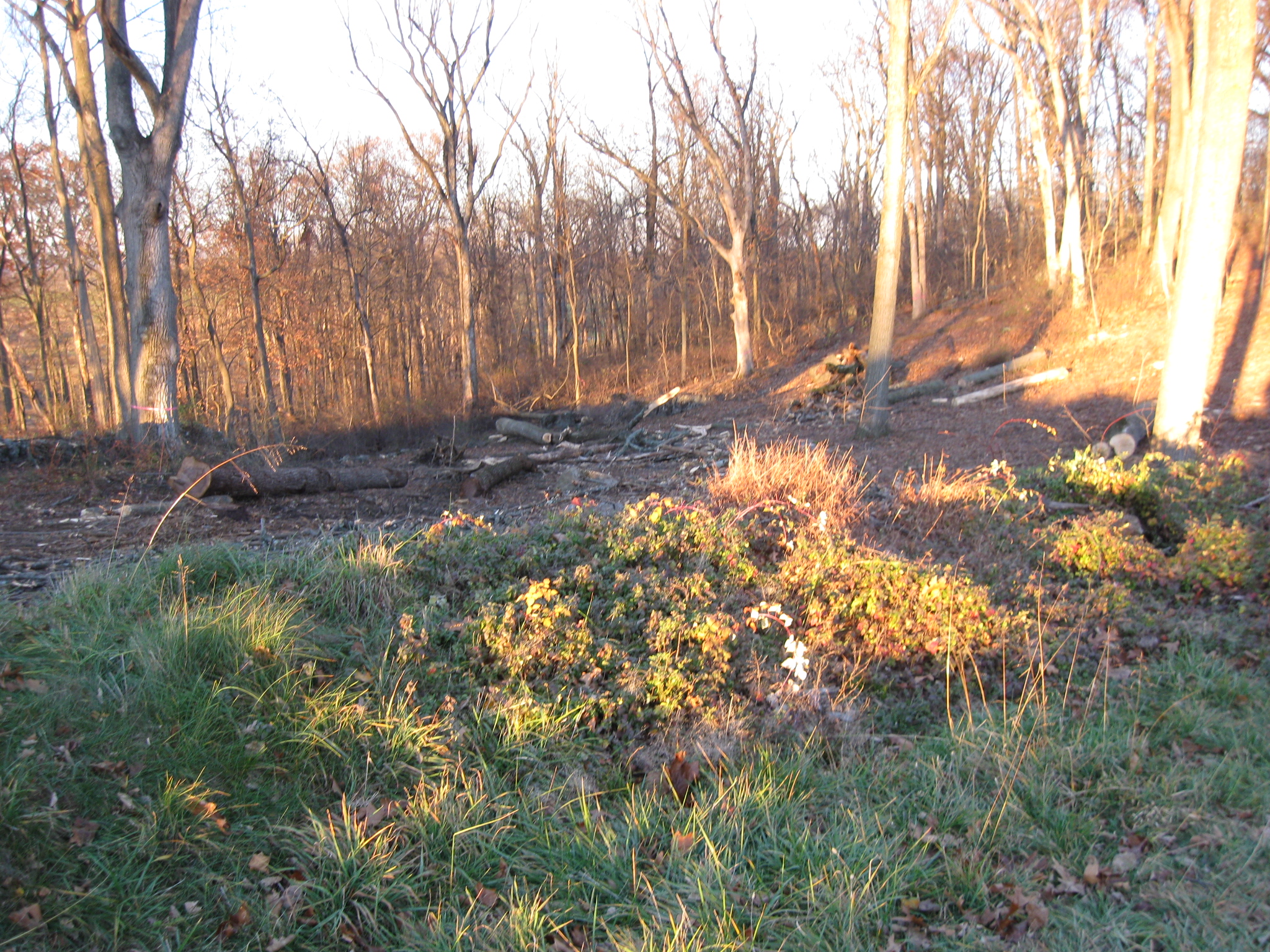
We’re looking down the slope. The earthworks are in the foreground. Hopefully the trees in the background will be removed. This view was taken facing northeast 4:15 PM on Friday, November 26, 2010.
The earthworks, which were reconstructed by the Civilian Conservation Corps in the 1930s, run from bottom left to top right in this picture. Notice the trees with pink “Do Not Cut” ribbons around them. This view was taken facing northeast at approximately 4:15 PM on Friday, November 26, 2010.
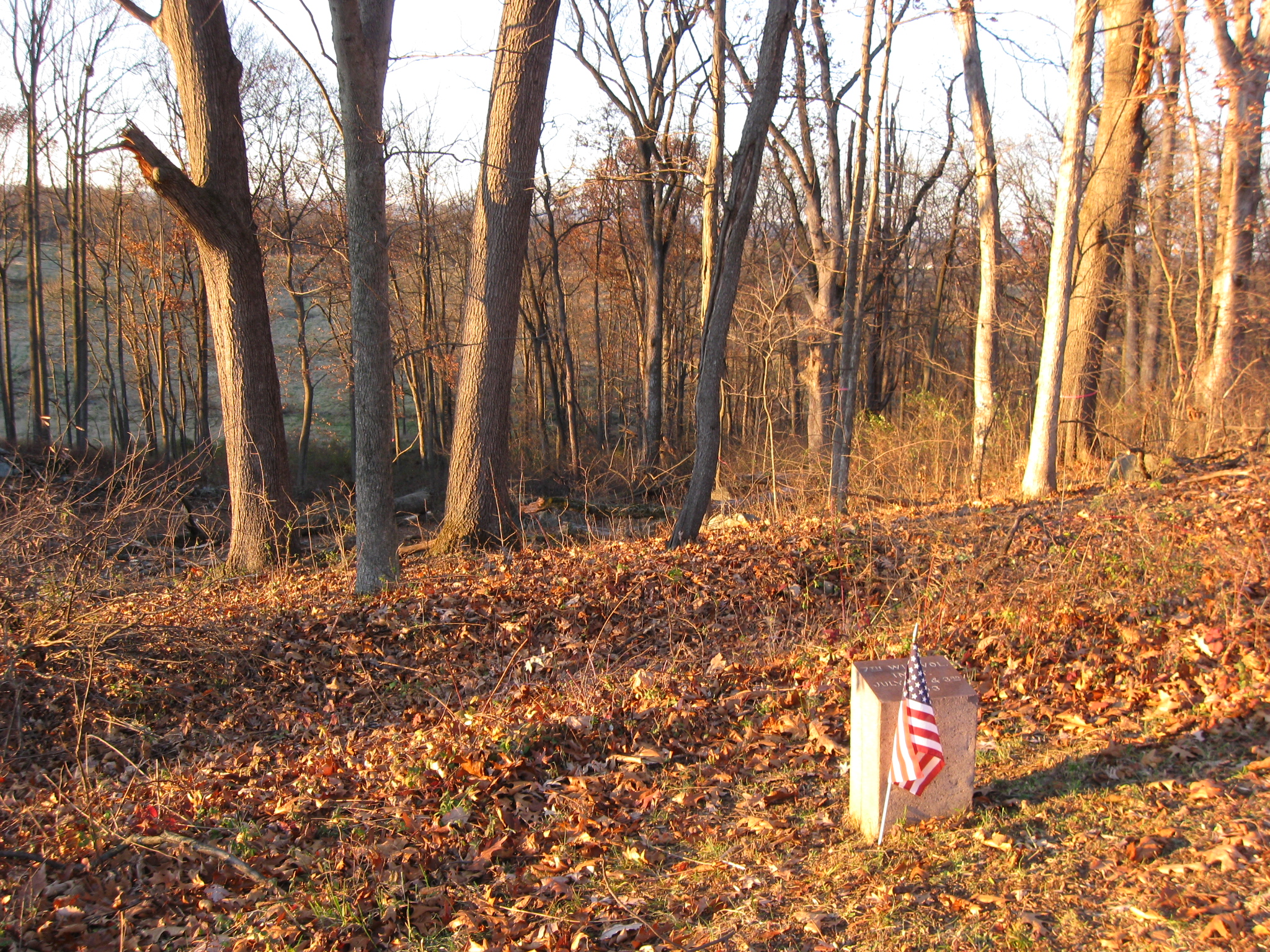
The marker is to the 7th Wisconsin Infantry Regiment. The earthworks are clearly visible on the other side of the marker. On the other side of the woods is the view that the Iron Brigade had as the North Carolinians moved across their front (right to left or east to west) as they attacked East Cemetery Hill (out of sight on the left). This view was taken facing north at approximately 4:15 PM on Friday, November 26.
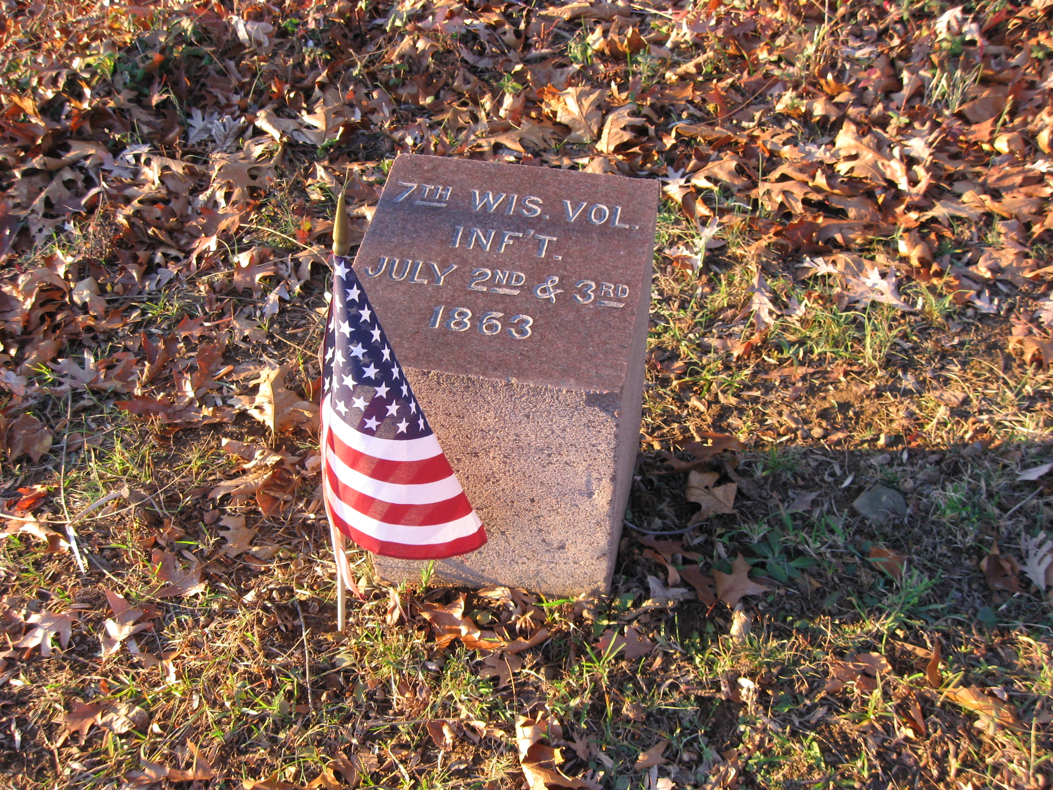
The regiments in the Iron Brigade included the 19th Indiana, the 24th Michigan, the 2nd, 6th, and 7th Wisconsin. All have monuments on the July 1st battlefield where they performed their greatest service. Only the 19th Indiana does not have a marker on Culp’s Hill. This view was taken facing northwest at approximately 4:15 PM on Friday, November 26, 2010.
A couple of things now strike us with the opening up of this area. We understand that the earthworks have to be constructed to conform with the position of the rest of the brigade, but why wasn’t the stone wall in front (if it existed in 1863) incorporated into these works? East Cemetery Hill is in the left background. This view was taken facing northwest at approximately 4:15 PM on Friday, November 26, 2010.

We understand that you wouldn’t want to create a salient unless you had a specific defensive purpose for creating one, but you also wouldn’t want the enemy to gain the area where the stone wall is located (whether there was a stone wall there or not in 1863). The stone wall is located more on the military crest (the highest area that commands the bottom of the hill without any “blind spots”). At the very least the Iron Brigade probably had skirmishers occupying that position. This view was taken facing northwest 4:15 PM on Friday, November 26, 2010.

Again, the earthworks continue up the hill. This view was taken facing northeast at approximately 4:15 PM on Friday, November 26, 2010.

The earthworks are “running away” from the camera, just to the right of the shadow. We hope more woods are going to be cleared here. This view was taken facing east 4:15 PM on Friday, November 26, 2010.

So far, it’s been a good start. This view was taken facing northwest at approximately 4:15 PM on Friday, November 26, 2010.