Battle for Hanover Part 7 With Licensed Battlefield Guide John Krepps
September 18, 2009
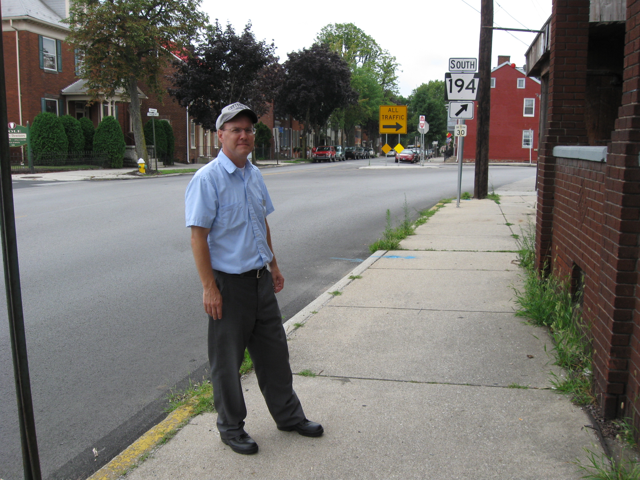
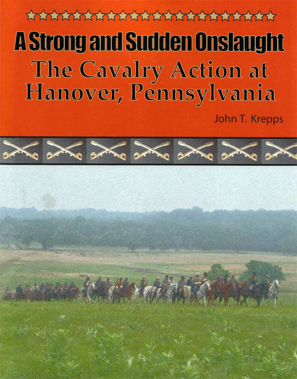
Gettysburg Licensed Battlefield Guide John Krepps is the author of the book, A Strong and Sudden Onslaught, The Cavalry Action at Hanover, Pennsylvania. He is standing on Broadway, approximately one half mile northeast of Hanover’s Town Square. The railroad tracks crossing Broadway mark the approximate location of the farthest Confederate advance during the battle. This view was taken facing northeast at approximately 3:30 PM on Wednesday, July 29, 2009.
The Battle for Hanover is a not very well known, but very important action in the Gettysburg Campaign. Licensed Battlefield Guide John Krepps has written a book on this event: A Strong and Sudden Onslaught, The Cavalry Action at Hanover, Pennsylvania. John is the host for our series on the events leading up to the battle, and the battle itself. John is a McSherrystown, Pennsylvania native, a Hanover, Pennsylvania resident, and has been a Licensed Battlefield Guide since 1995. He had four ancestors who fought in the Civil War, all with Pennsylvania units. One relative fought on Gettysburg’s East Cemetery Hill the night of July 2, 1863.
In our first post we concentrated on an introduction to Stuart’s Cavalry raid, and showed some images from Union Mills, Maryland.
In our second post we continued our visit to Union Mills and looked at the route of the Old Hanover Road.
In our third post we finished our approach to Hanover and stopped along Line Road and the Gitt Farm.
In our fourth post John described the initial clash at Hanover at the junction of Westminster Avenue and Frederick Street on the morning of June 30, 1863.
In our fifth post, Gettysburg Licensed Battlefield Guide John Krepps showed us that as the battle moved toward Hanover’s town square, Confederate cavalry found an alley to outflank Union forces moving on Frederick Street.
In our sixth post, Licensed Battlefield Guide John Krepps showed us some items on the southwest and southeast quadrants of Hanover’s Town Square.
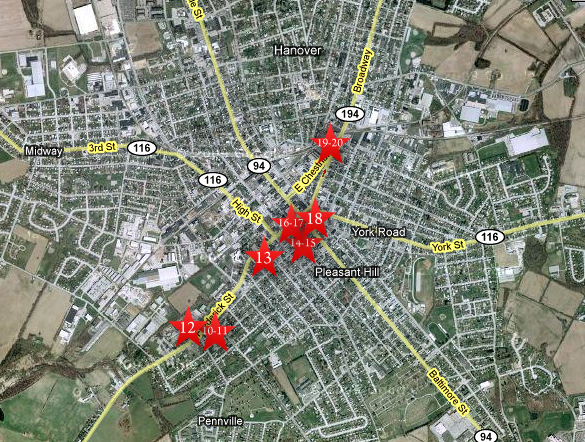
In today’s post, John Krepps shows us the location of the farthest Confederate advance north of Hanover’s Town Square.
This map shows the location of where our videos were produced on the Old Hanover Road. Videos #1-#9 were shown in our previous Hanover posts. Videos #10 and #11 were taken at the “Confederates Invade Pennsylvania” wayside marker northeast of the junction of the Westminster Road/Westminster Avenue and Frederick Street. Video #12 was taken at the junction of Westminster Road/Westminster Avenue and Frederick Street. Video #13 was taken near the Henry Winebrenner House on Frederick Street. Videos #14 and #15 were taken in Exchange Alley, a block south of Frederick Street. Videos #16-#17 were taken in the southwest quadrant of Hanover’s Town Square. Video #18 was taken in the southeast quadrant of Hanover’s Town Square. Videos #19 and #20 were taken on Broadway, northeast of Hanover’s Town Square. This map was created facing north at approximately 6:00 PM on Tuesday, August 4, 2009.
In Video #19 (Videos #1- #18 were shown in our previous Hanover posts) Gettysburg Licensed Battlefield Guide John Krepps is standing on Broadway, approximately one half mile northeast of the Hanover Town Square. He describes the movements of the three Union cavalry divisions as they moved north into Pennsylvania. He also describes the goal of Kilpatrick’s division the morning of June 30th as they moved through Hanover, and where Kilpatrick was when the Confederates struck his column. This view was taken facing northeast at approximately 3:30 PM on Wednesday, July 29, 2009.
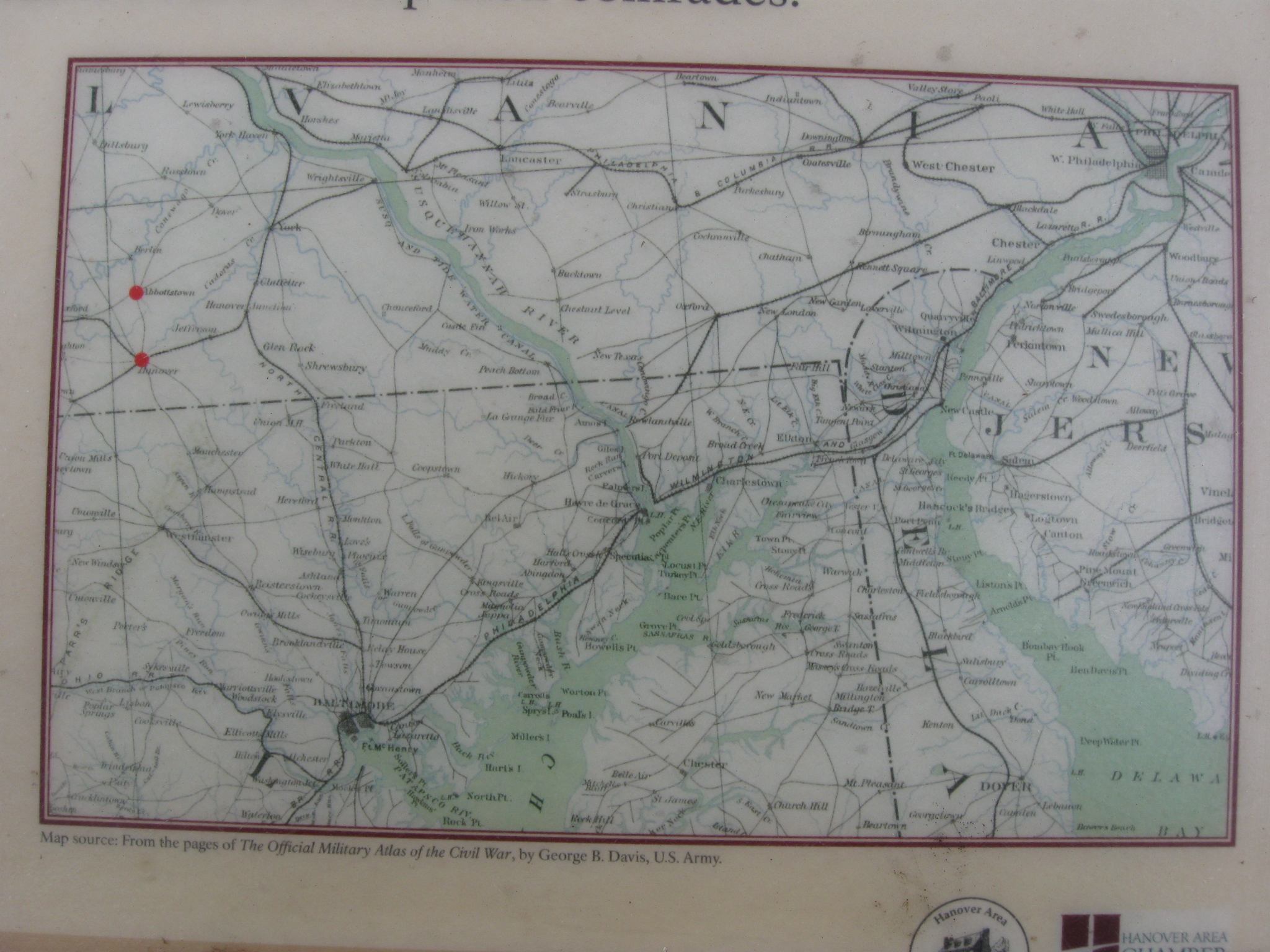
This map is from John Krepps’ book, A Strong and Sudden Onslaught, The Cavalry Action at Hanover, Pennsylvania. This map shows the Confederates occupying Hanover and their farthest advance northeast of the Town Square on June 30, 1863. Union units are shaded a dark color. Confederate units have lines running through them. Gettysburg Licensed Battlefield Guide Dave Weaver drew the basic map, and John Krepps drew the troop movements.
Licensed Battlefield Guide John Krepps is standing near the location of the previous video. He is near the junction of Broadway and Chestnut Street. Broadway is to the left of the yellow “All Traffic” sign, and Chesnut Street is also Pennsylvania 194 on the right. This view was taken facing southweset at approximately 3:30 PM on Wednesday, July 29, 2009.
In Video #20 Licensed Battlefield Guide John Krepps is still standing on Broadway, approximately one half mile northeast of the Hanover Town Square. He shows us how far the Confederates advanced north of the square before Union forces began to push them back through the town. This view was taken facing southwest to northeast to southwest at approximately 3:30 PM on Wednesday, July 29, 2009.
This wayside is located on Broadway south of the junction of Broadway and Chestnut Street. This view was taken facing north at approximately 3:30 PM on Wednesday, July 29, 2009.
A closer view of the map on the Broadway wayside. This view was taken facing north at approximately 3:30 PM on Wednesday, July 29, 2009.