
![]()
The photographer is positioned just off the North Gettysburg Trail on Howard Avenue. Familiar clearing equipment is visible in the center of this shot. This view was taken facing northeast at approximately 9:30 AM on Tuesday, December 20, 2011.
While we were covering the construction and completion of the North Gettysburg Trail, we noticed a few trees being removed alongside the Old Harrisburg Road on the southeast portion of Barlow’s Knoll/Blocher’s Knoll. We stopped by that location briefly this morning to see what had been removed.
![]()
We parked up on the knoll itself and walked southeast along Howard Avenue towards the Old Harrisburg Road. The North Gettysburg Trail runs from right to left in the center of this view. This view was taken facing southeast at approximately 9:30 AM on Tuesday, December 20, 2011.
![]()
The intersection of Howard Avenue and the Old Harrisburg Road is at the bottom of the hill. Fencing from the North Gettysburg trail is visible in the right-hand portion of this view. This view was taken facing southeast at approximately 9:30 AM on Tuesday, December 20, 2011.
![]()
This view was taken facing east at approximately 9:30 AM on Tuesday, December 20, 2011.
![]()
This view was taken facing northeast at approximately 9:30 AM on Tuesday, December 20, 2011.
![]()
This view was taken facing southeast at approximately 9:30 AM on Tuesday, December 20, 2011.
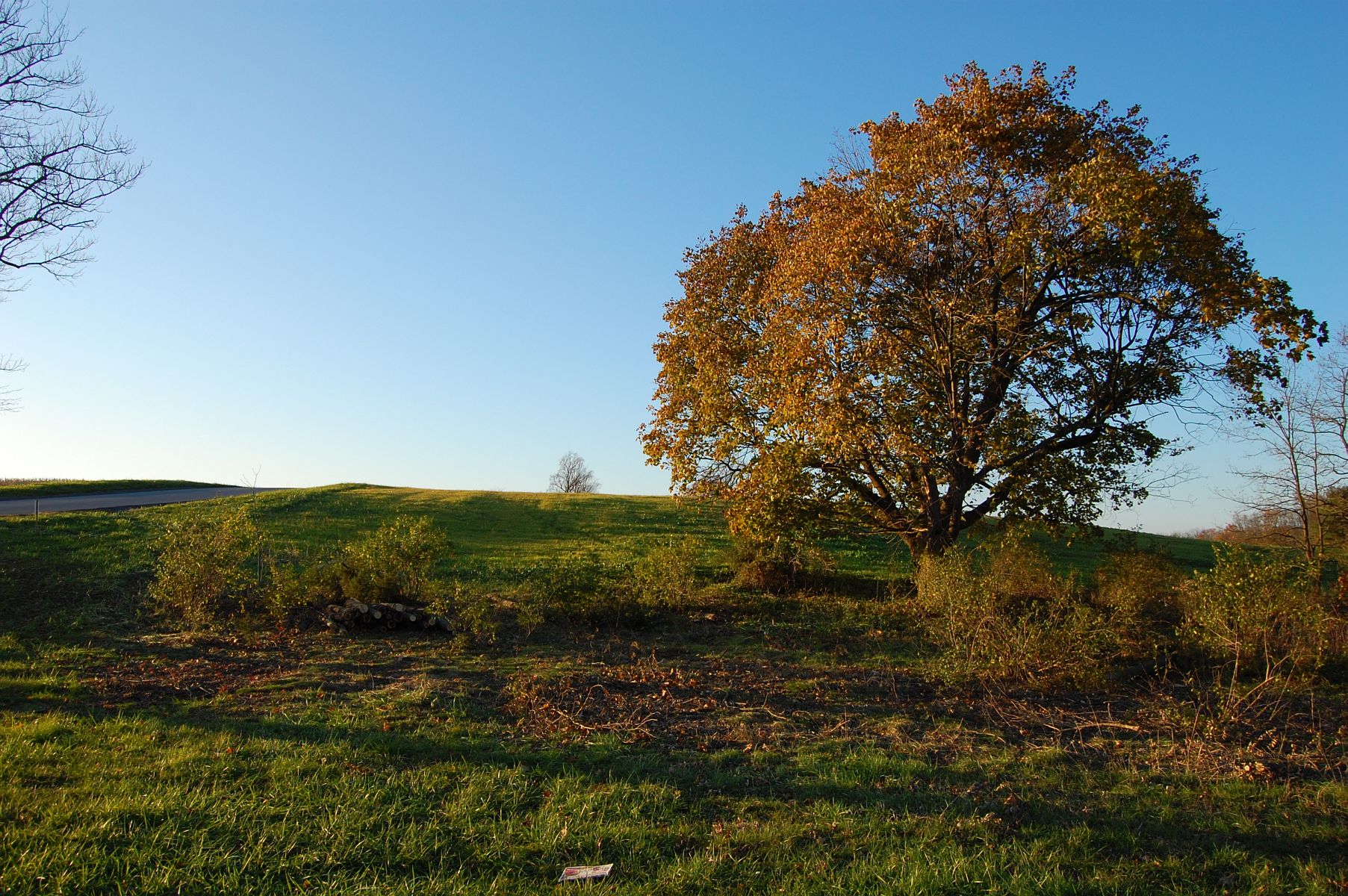
Here is what this area looked like from the North Gettysburg Trail in November. The large tree in this shot has been removed. This view was taken facing east facing northwest at approximately 5:20 PM on Sunday, November 6, 2011.
![]()
As you can see, it’s a fairly sizable swath of vegetation/trees that has been removed. At present the viewshed is not changed from anywhere but along the North Gettysburg Trail, looking back up the hill to Barlow’s Knoll … This view was taken facing southeast at approximately 9:30 AM on Tuesday, December 20, 2011.
![]()
… or from back in the woods along Rock Creek. This view was taken facing southeast at approximately 9:30 AM on Tuesday, December 20, 2011.
![]()
We decided that while we were here we should walk down to the creek … This view was taken facing southeast at approximately 9:30 AM on Tuesday, December 20, 2011.
![]()
… and visit with the frequently overlooked marker to the 54th New York Infantry. This view was taken facing southwest at approximately 9:30 AM on Tuesday, December 20, 2011.
![]()
Be warned, it was quite muddy. Rock Creek is in the background just over the embankment. This view was taken facing northeast at approximately 9:30 AM on Tuesday, December 20, 2011.
![]()
It was shaping up to be a gray and cloudy day in Gettysburg. We hope to bring you more updates from this area of the battlefield as developments occur. This view was taken facing northwest at approximately 9:30 AM on Tuesday, December 20, 2011.