

The Gettysburg Cyclorama building. For a similar view of this photo in the fall, click here. This view was taken facing south at approximately 3:40 PM on Wednesday, January 26, 2011.
Yesterday brought almost 10 inches of total snowfall to the Gettysburg area. We took a brief walk along Cemetery Ridge, but it was quickly shortened by the worsening weather. Please be sure to check out the end of this post for another selection from the John and Barbara Adams Tape Collection.

108th New York Infantry monument, with the Cyclorama building in the background. This view was taken facing southeast at approximately 3:40 PM on Wednesday, January 26, 2011.

The Grand Army of the Republic monument to Albert Woolson (the last official surviving veteran of the Civil War) is just visible in the left of this shot. This view was taken facing south at approximately 3:40 PM on Wednesday, January 26, 2011.
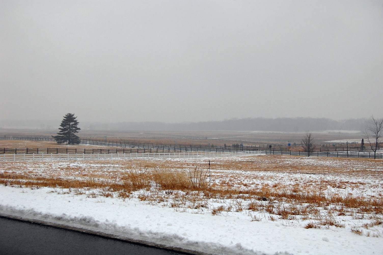
We have now turned to the right and are looking out across the fields of Pickett’s Charge. The prominent tree visible in the left portion of this shot is the commemorative tree to Camp Colt. This view was taken facing southwest at approximately 3:40 PM on Wednesday, January 26, 2011.
This view was facing northeast at approximately 3:40 PM on Wednesday, January 26, 2011.

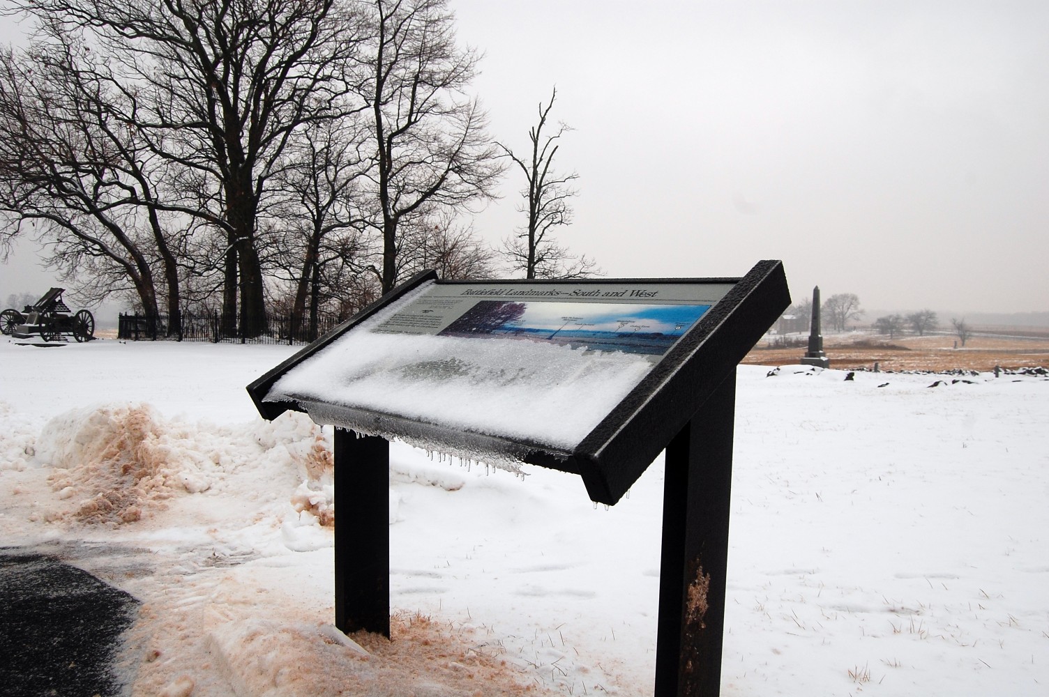
As we made our way past the Brian House, the light snow that had been falling began to turn into sleet. We’ll continue south along Hancock Avenue and show you a few more monuments. This view was taken facing northeast at approximately 3:40 PM on Wednesday, January 26, 2011.

The monument to the 12th New Jersey Infantry Regiment … This view was taken facing east at approximately 3:40 PM on Wednesday, January 26, 2011.
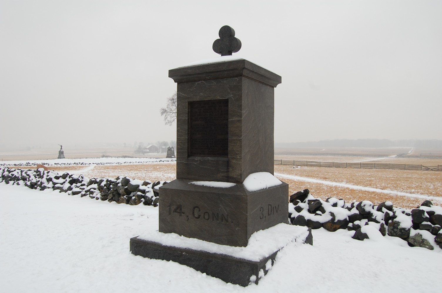
… and the 14th Connecticut Infantry Regiment. This view was taken facing southeast at approximately 3:40 PM on Wednesday, January 26, 2011.
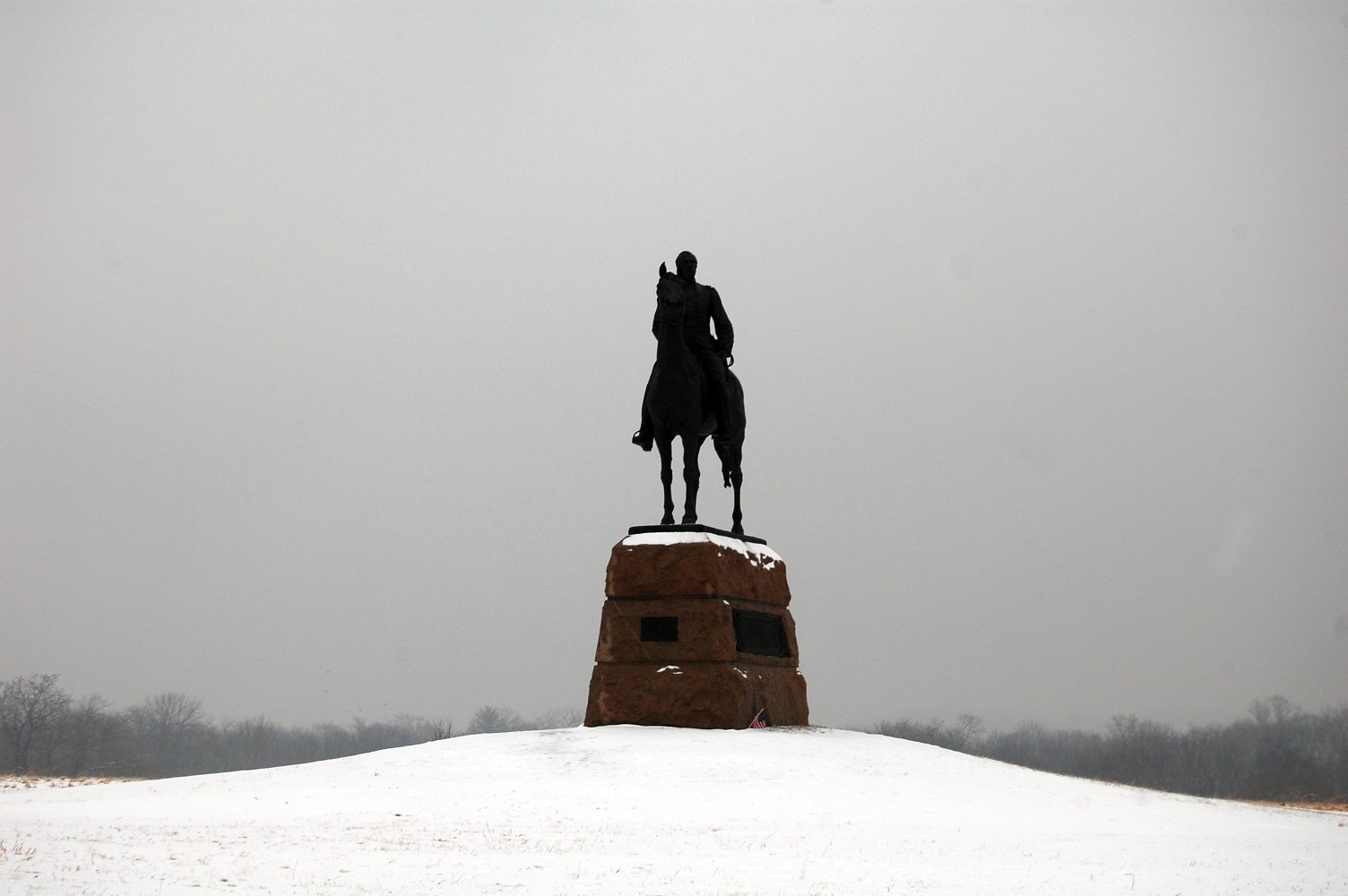
The equestrian statue to Major General George Gordon Meade. This view was taken facing east at approximately 3:40 PM on Wednesday, January 26, 2011.
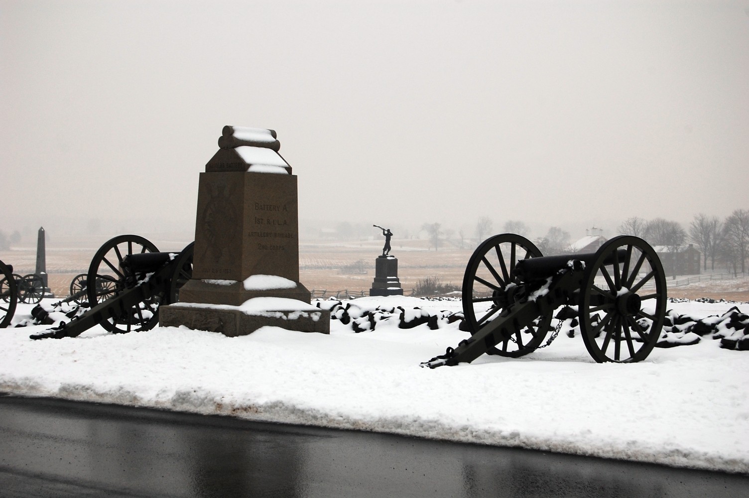
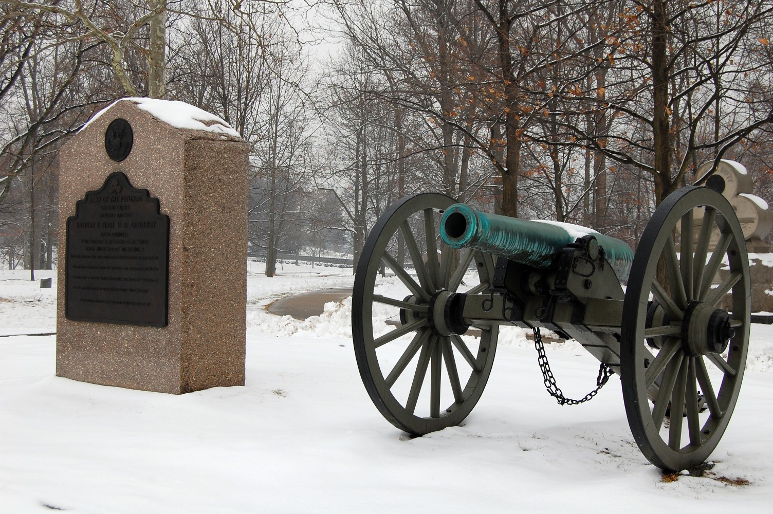
As you might have gathered, visibility was limited yesterday afternoon, but you can see the Codori House and Barn in the right background of this photo. In the foreground is Battery A, 1st Rhode Island Artillery. In the center is the monument to the 72nd Pennslvania Infantry. This view was taken facing southwest at approximately 3:40 PM on Wednesday, January 26, 2011.

When we arrived at the “Copse of Trees” … This view was taken facing southwest at approximately 3:40 PM on Wednesday, January 26, 2011.
… The snow had definitely turned into freezing rain. This view was taken facing southwest at approximately 3:40 PM on Wednesday, January 26, 2011.

But we couldn’t end our walk without making it to the High Water Mark. This view was taken facing southwest at approximately 3:40 PM on Wednesday, January 26, 2011.
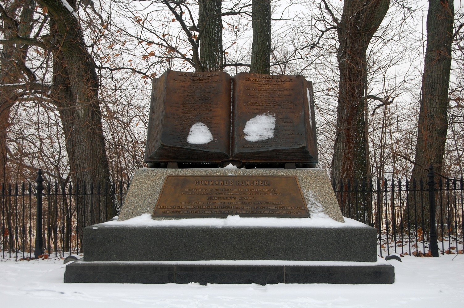
The monument to the High Water Mark of the Confederacy. This view was taken facing west at approximately 3:40 PM on Wednesday, January 26, 2011.
Looking back towards the Cyclorama building and the town of Gettysburg. This view was taken facing north at approximately 3:40 PM on Wednesday, January 26, 2011.
Licensed Battlefield Guide Wayne Wachsmuth presents 1st Day: Buford, recorded on June 30, 1999. Total Length 3:46:54 | If you are unable to play/view this audio file using the player above, we have provided both an mp3 and ogg (vorbis) file that you may download. | download mp3 | download ogg