
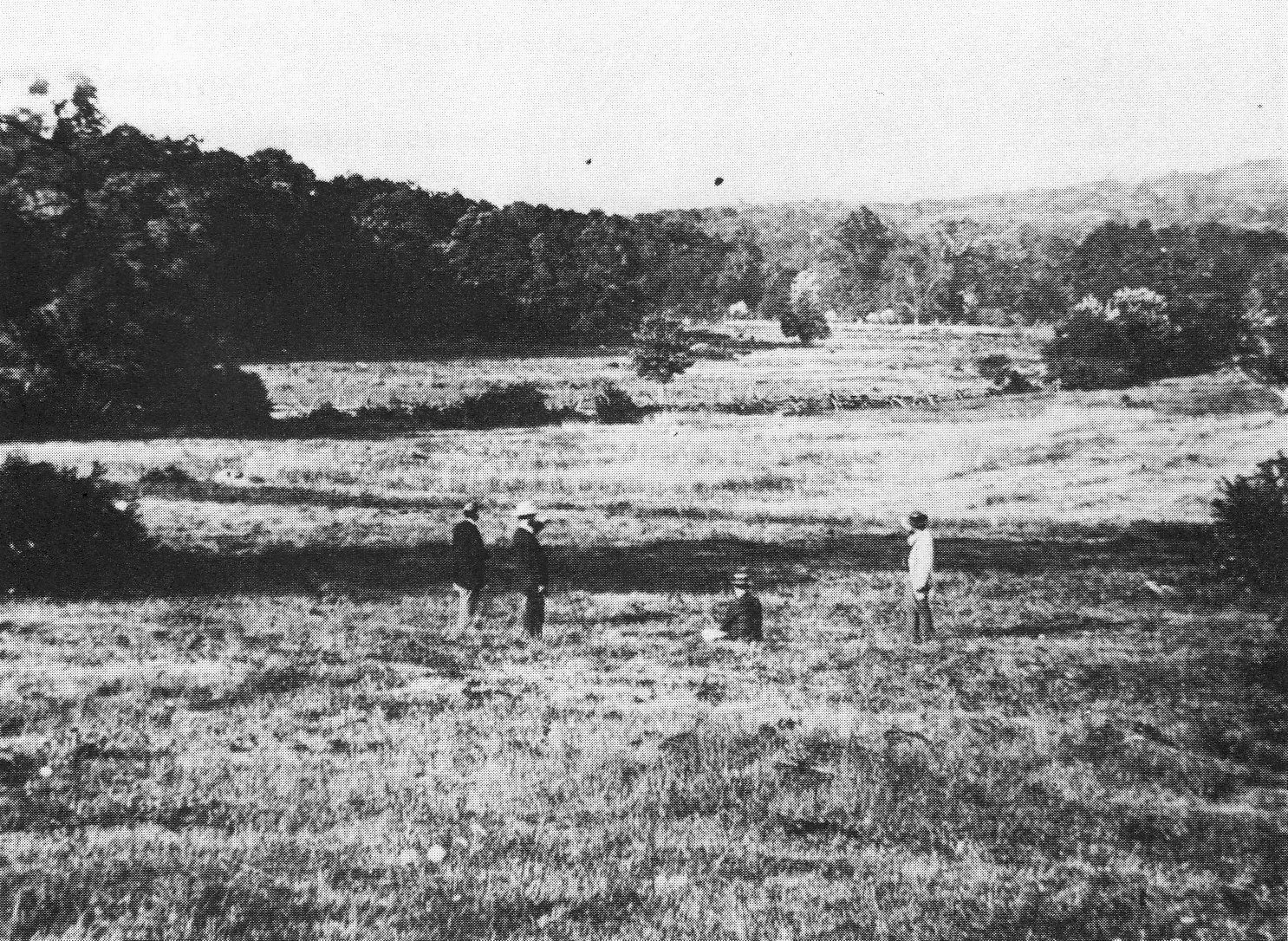
Here is how the Spangler’s Spring area appeared at the time of the battle taken from James McAllister’s Field near the Baltimore Pike. Lower Culp’s Hill (Spangler’s Hill) and Wolf’s Hill are now clearly visible in the background as is Spangler’s Meadow. Two regiments charged out of McAllister’s Woods on the morning of July 3, 1863 towards Lower Culp’s Hill/Spangler’s Hill. The 2nd Massachusetts Infantry Regiment charged from right to left across this open ground. The 27th Indiana charged approximately halfway across Spangler’s Meadow. Both regiments suffered significant losses. This photograph is courtesy of Licensed Battlefield Guide John Archer. This Tyson photograph was taken facing northeast circa 1866. It was first featured in this post.
Back in November of last year, the National Park Service informed us that the ground needed to be dry for tree removal to occur in the low ground around Spangler’s Spring and McAllister’s Field. This summer has certainly been dry enough, and today we’ll show you the progress that’s been made on this portion of the tree removal project occurring near Culp’s Hill.
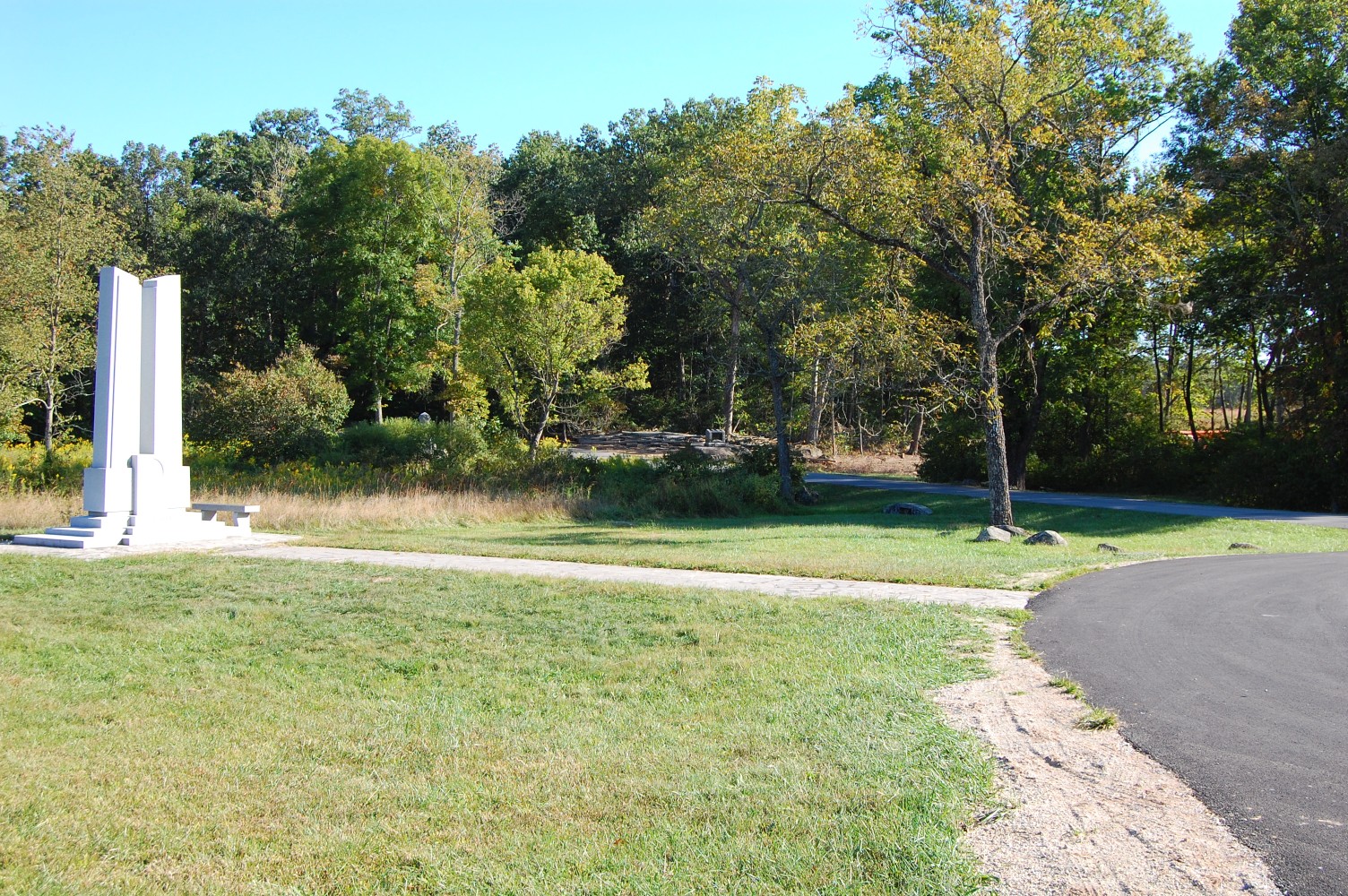
The Indiana State monument is on the left. The tree removal project and McAllister’s Field is in the right background. We’ll walk over in that direction. This view was taken facing southwest at approximately 4:00 PM on Tuesday, September 21, 2010.
The monument to the 27th Indiana Infantry is on the left side of Colgrove Avenue. The 2nd Massachusetts Infantry monument, the first regimental monument placed on the battlefield, is on the right. This view was taken facing south at approximately 4:00 PM on Tuesday, September 21, 2010.
McAllister’s Field is behind the trees still standing in the right background. This view was taken facing southwest at approximately 4:00 PM on Tuesday, September 21, 2010.
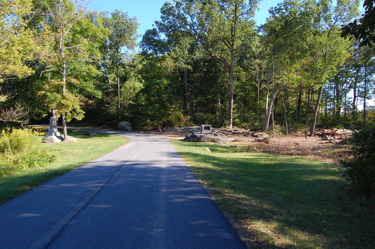
We’ll follow the path of the tree removal that has been completed so far. This view was facing southwest at approximately 4:00 PM on Tuesday, September 21, 2010.

Looking back toward Colgrove Avenue. This view was taken facing north at approximately 4:00 PM on Tuesday, September 21, 2010.
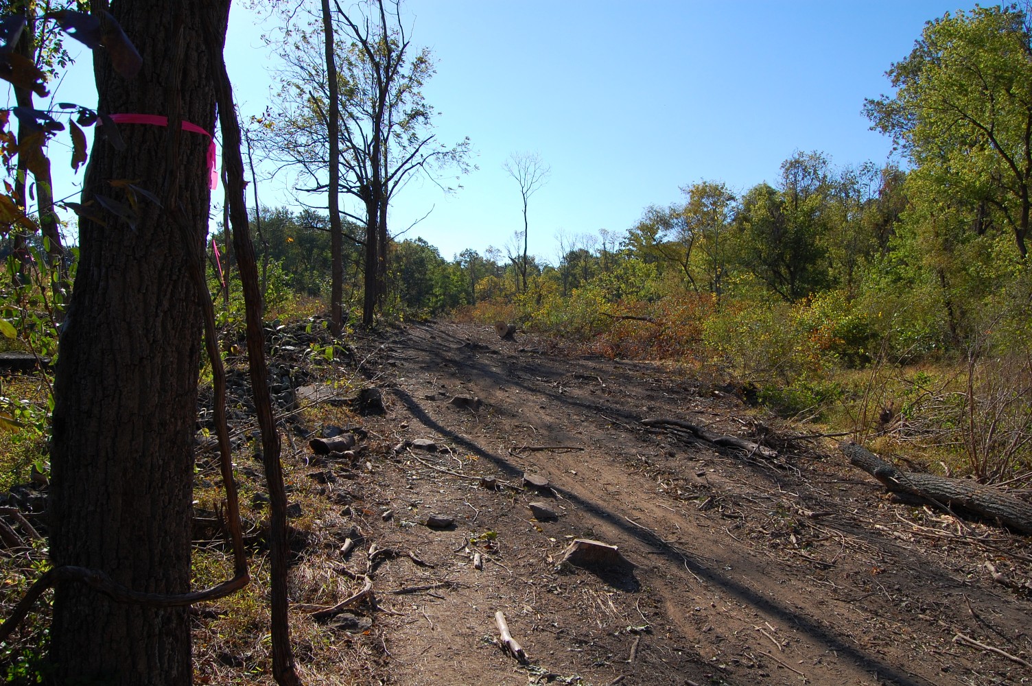
The lucky tree on the left has earned its reprieve with its pink “DO NOT CUT” tag. This view was taken facing southwest at approximately 4:00 PM on Tuesday, September 21, 2010.
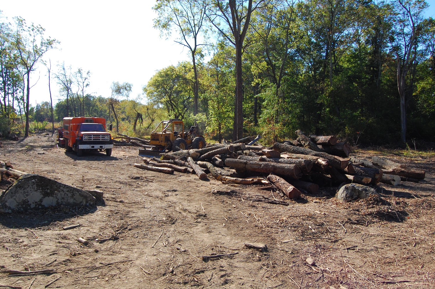
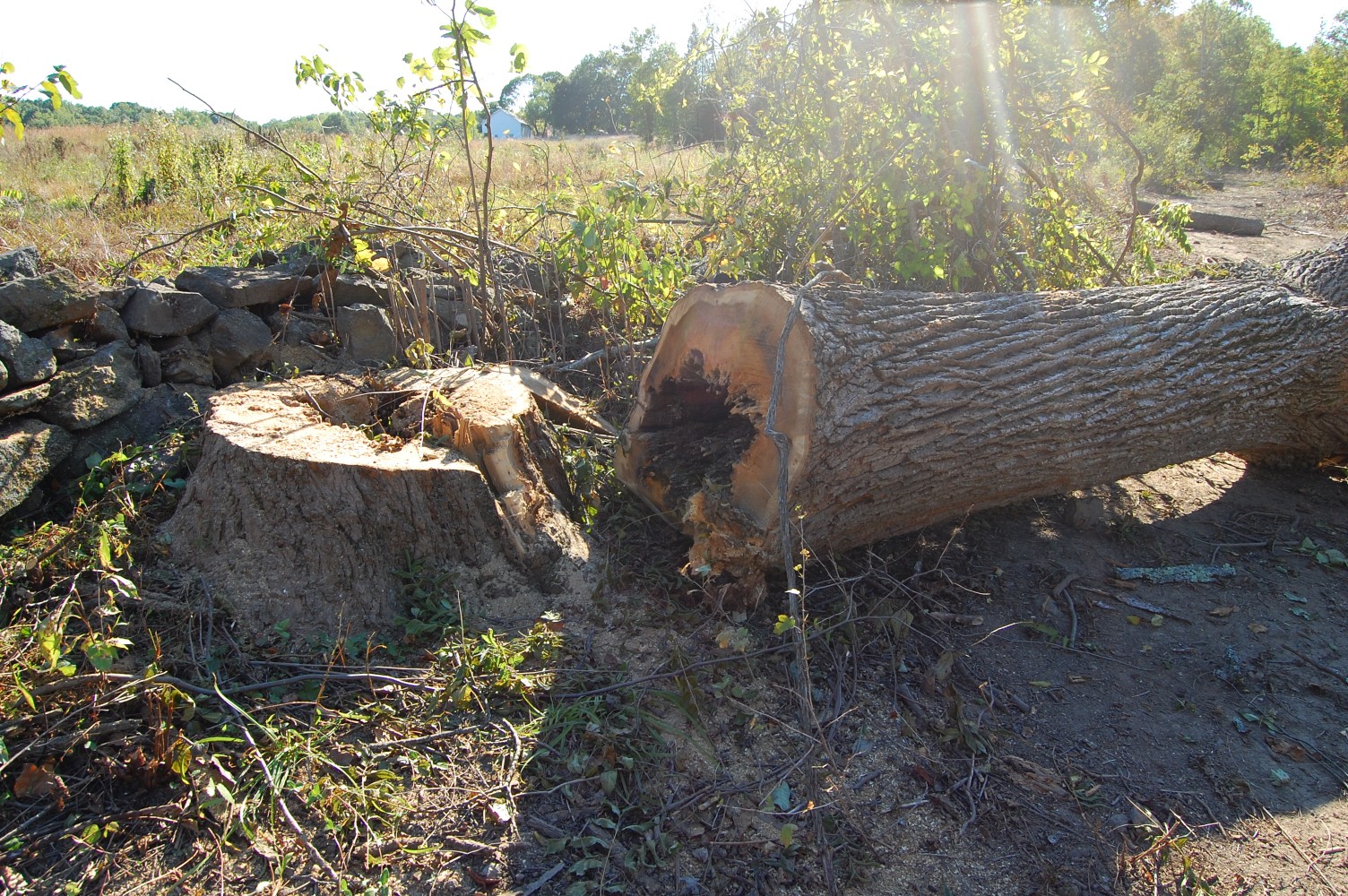
The path the contractor’s vehicles have taken comes into this area, which has been cleared of a number of large trees. This view was taken facing southwest at approximately 4:00 PM on Tuesday, September 21, 2010.
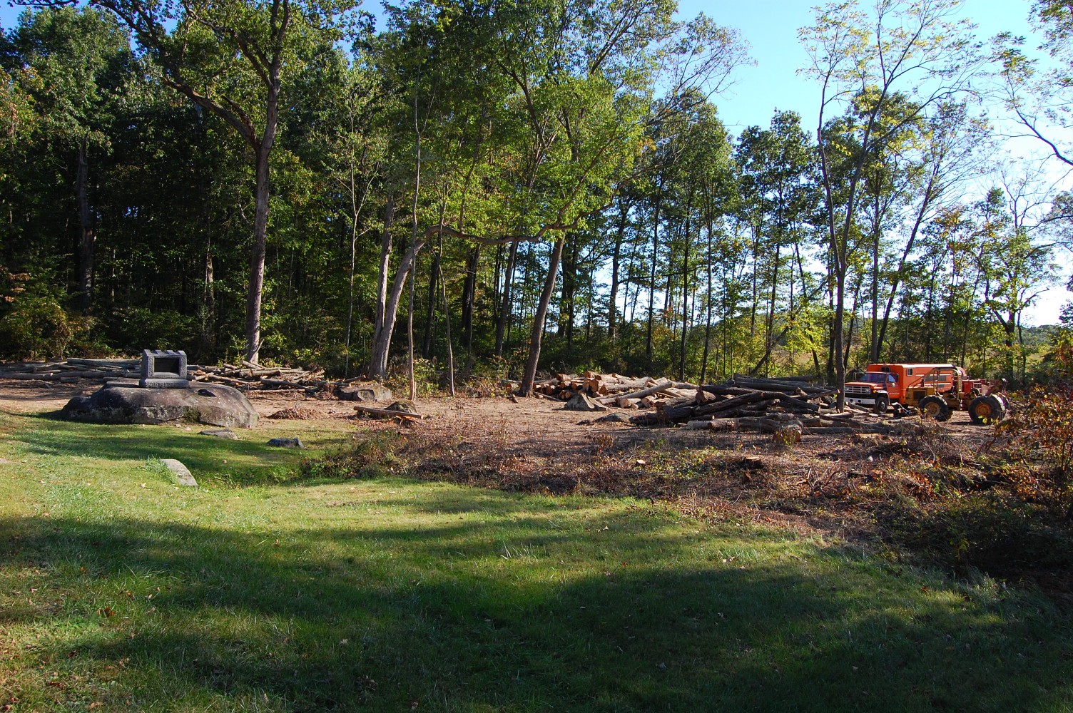
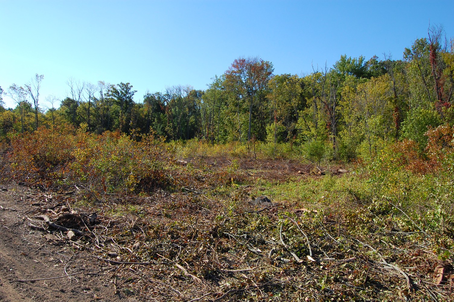
McAllister’s Woods is in the right background. This view was taken facing northeast at approximately 4:00 PM on Tuesday, September 21, 2010.
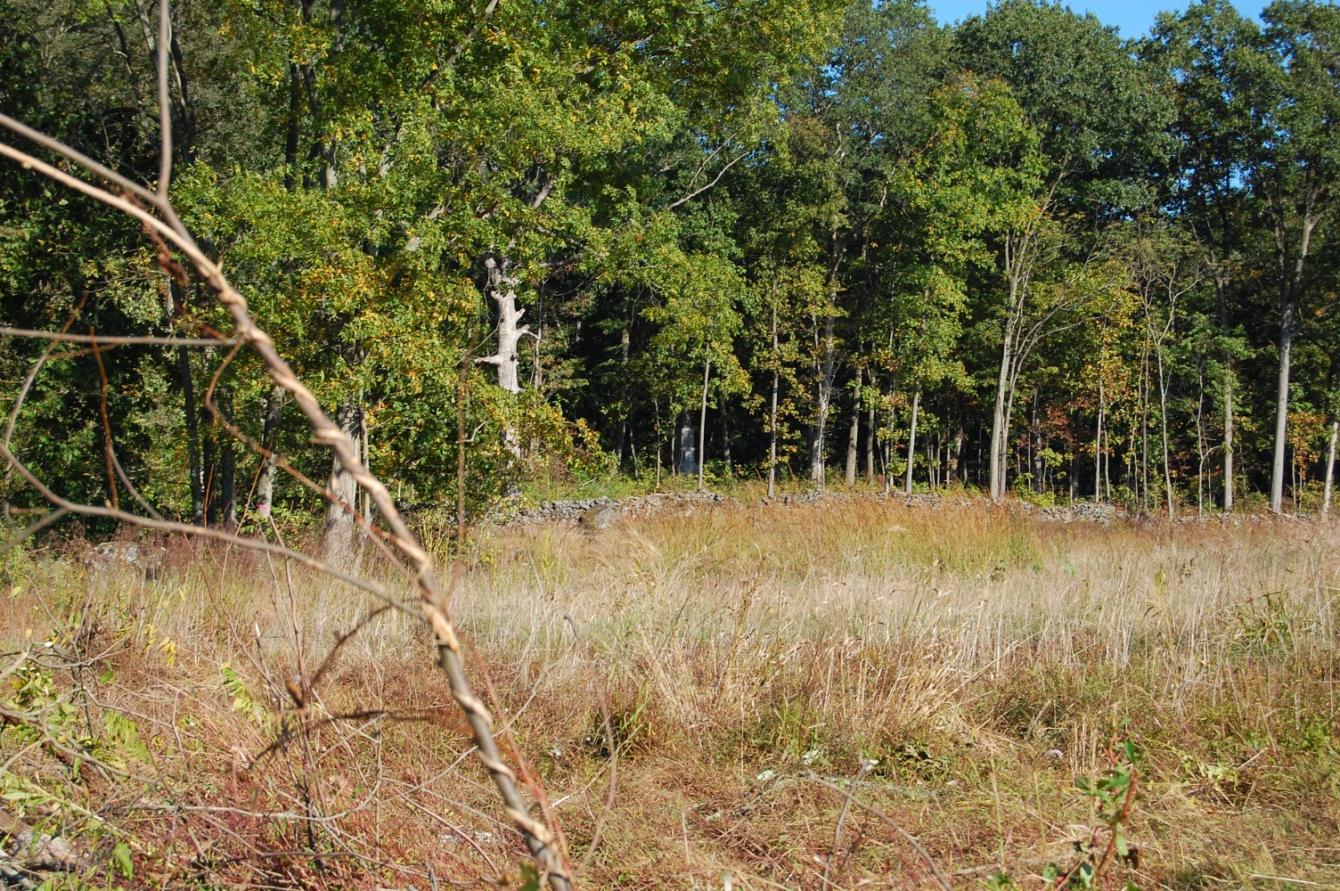
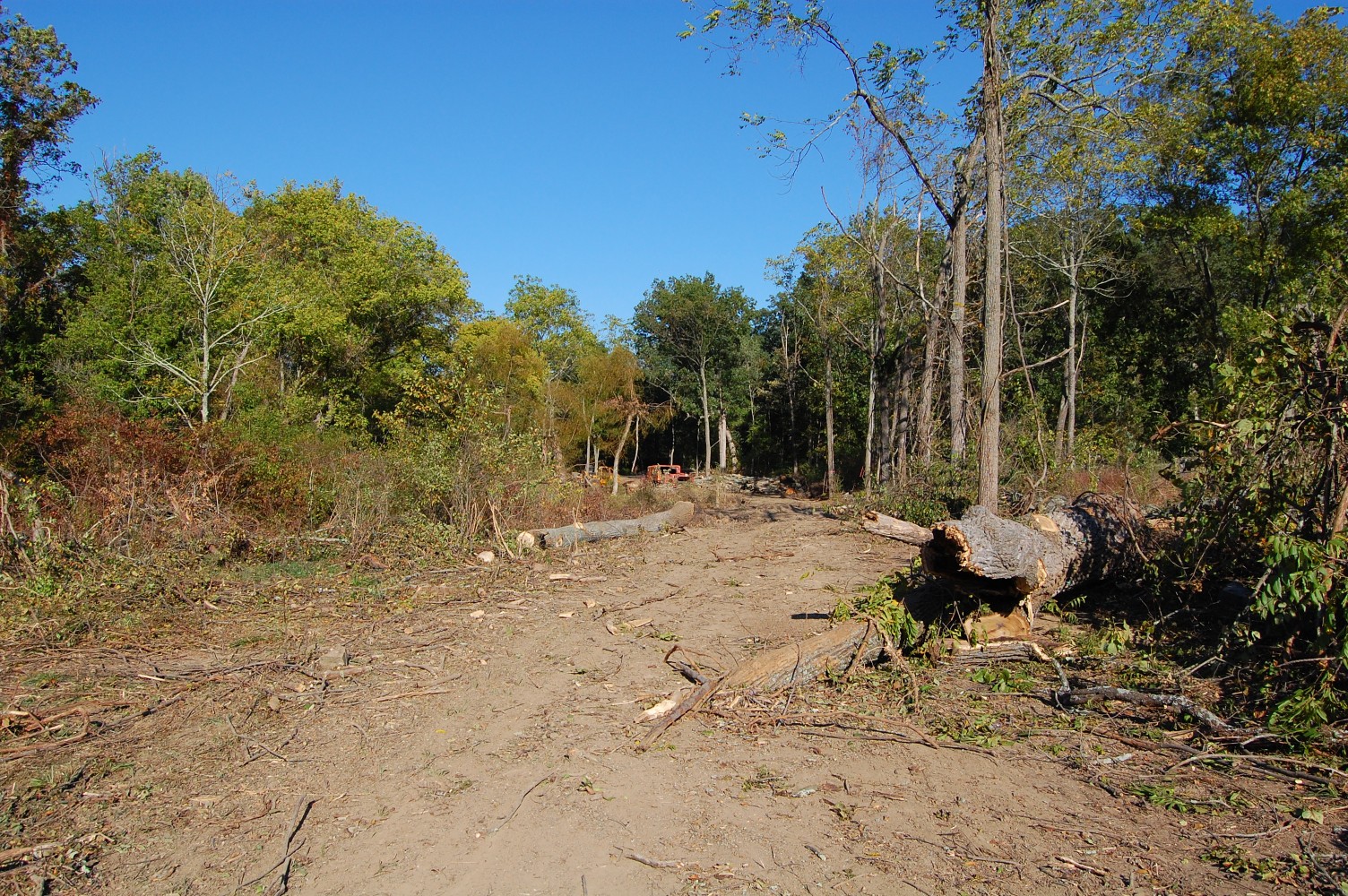
It is now possible to see across the field to McAllister’s Woods. The monument barely visible in the center of this photo is to the 3rd Wisconsin Infantry Regiment. This view was taken facing northeast at approximately 4:00 PM on Tuesday, September 21, 2010.
We’re pleased to see this area brought closer to the view in the Tyson Brothers photographs at the top of this post. This view was taken facing southwest at approximately 4:00 PM on Tuesday, September 21, 2010.