Gettysburg Farming Leases vs. Gettysburg Battlefield Rehabilitation
August 17, 2008
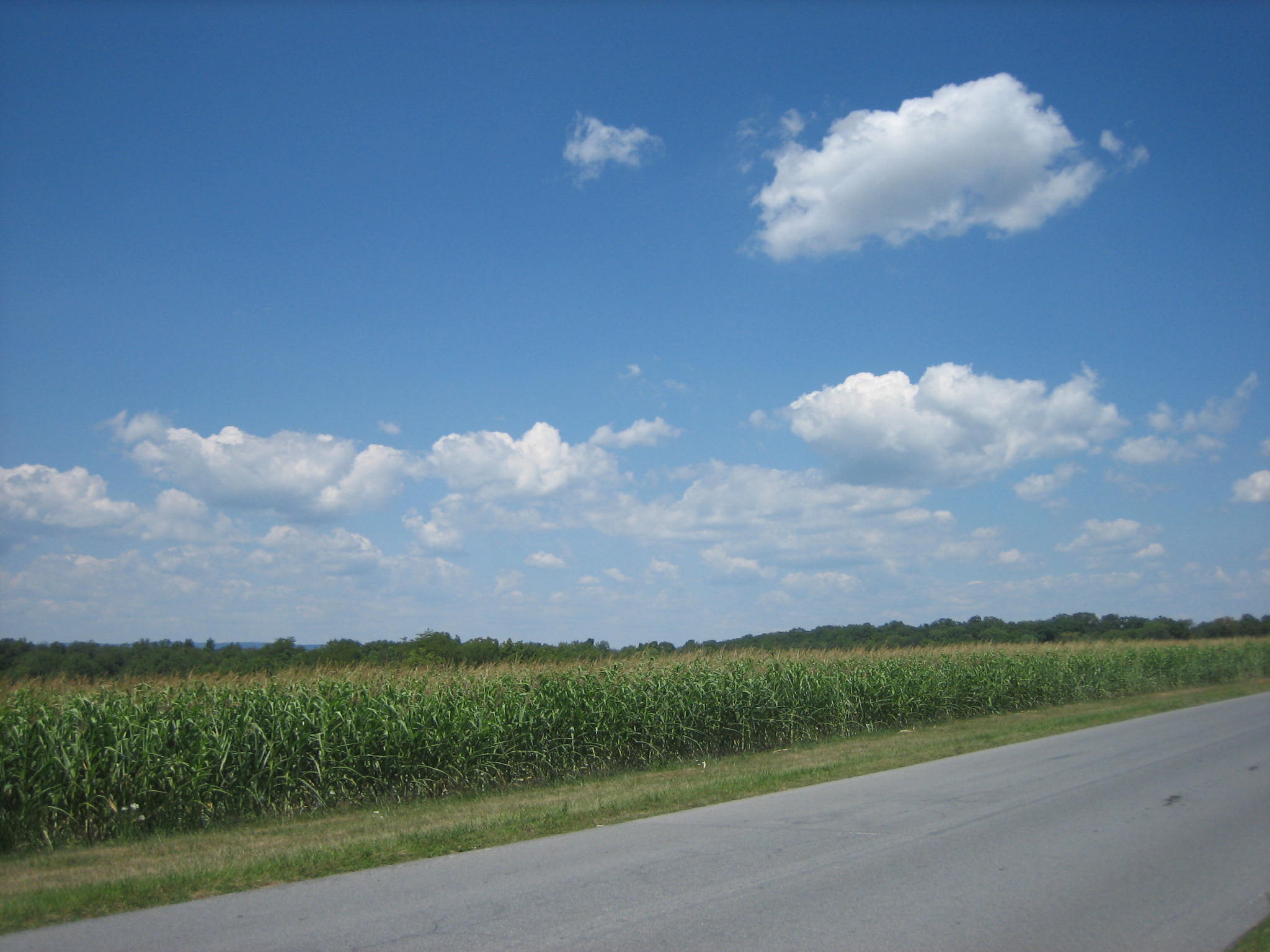
You’re starting your tour of the battlefield driving north on Reynolds’ Avenue along McPherson’s Ridge, but it’s difficult to tell you’re on a ridge because corn blocks a view of the slope. Reynolds’ Woods/Herbst Woods/McPherson’s Woods are the trees on the far right of this picture. This view was taken from the southeast facing northwest at approximately 1:15 PM on Sunday, August 17, 2008.
Leasing land on the Gettysburg Battlefield to farmers sometimes conflicts with telling the story of the battle. The leasing program is sound because farmers keep the fields that were fields at the time of the battle as fields. And they even pay the government a fee to do it. But sometimes the crops that they grow hide important places on the battlefield from view of the visitors. The National Park Service is spending a lot of time and money attempting to “rehabilitate” the battlefield in an effort to put it closer to the way it looked in 1863. But if trees are to be cut down to open up vistas, and if crops such as the new “super corn” is planted that hide those same vistas from view, how does that help interpretation of the battlefield? The corn growing has been much worse in previous years than in this one, but we suspect that the fields need to lie fallow for one year, and they will come back in full force next year.
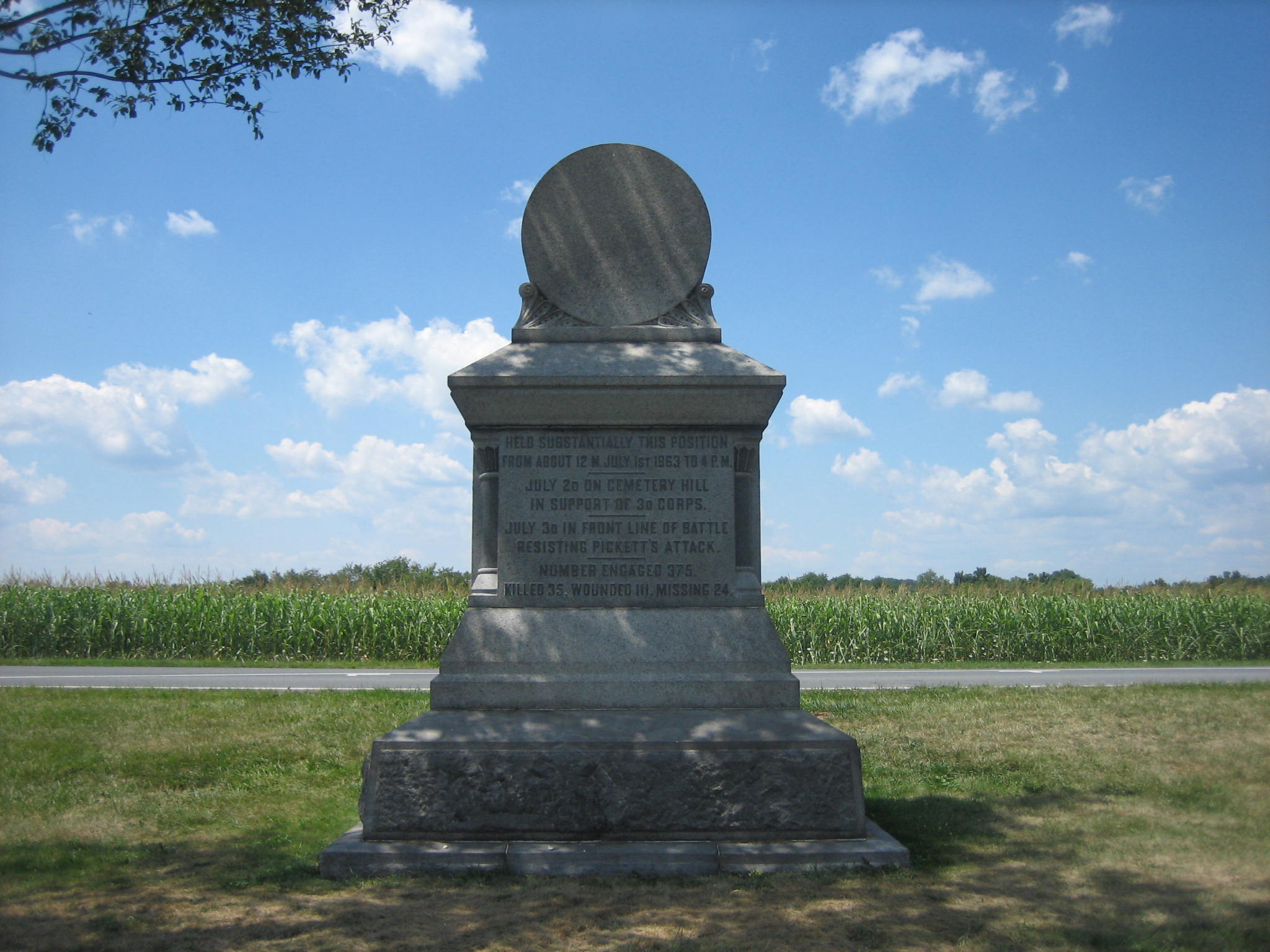
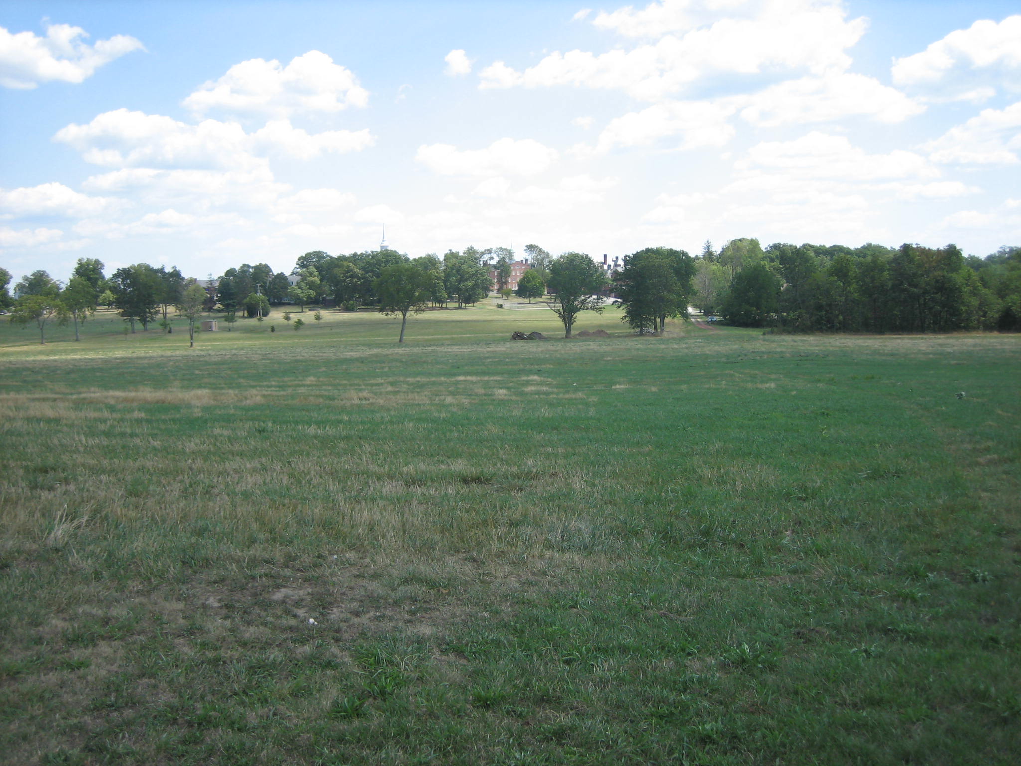
Here’s the east side of the monument to the 80th New York Infantry Regiment (20th New York State Militia). At what are they looking? This view was taken from the east facing west at approximately 1:15 PM on Sunday, August 17, 2008.
We have shown a portion of the monument to help you understand the area where you are looking. The trees of McPherson’s Woods/Herbst Woods/Reynolds’ Woods are again to the far right. The National Park Service believes that it is important to cut down trees on the east slope of Cemetery Ridge to expose the profile of the ridge. This will help interpret an area where fighting did not occur. So why are we hiding the profile of McPherson’s Ridge at this important point where fighting did occur on July 1, 1863? This view was taken from the southeast facing northwest at approximately 1:15 PM on Sunday, August 17, 2008.
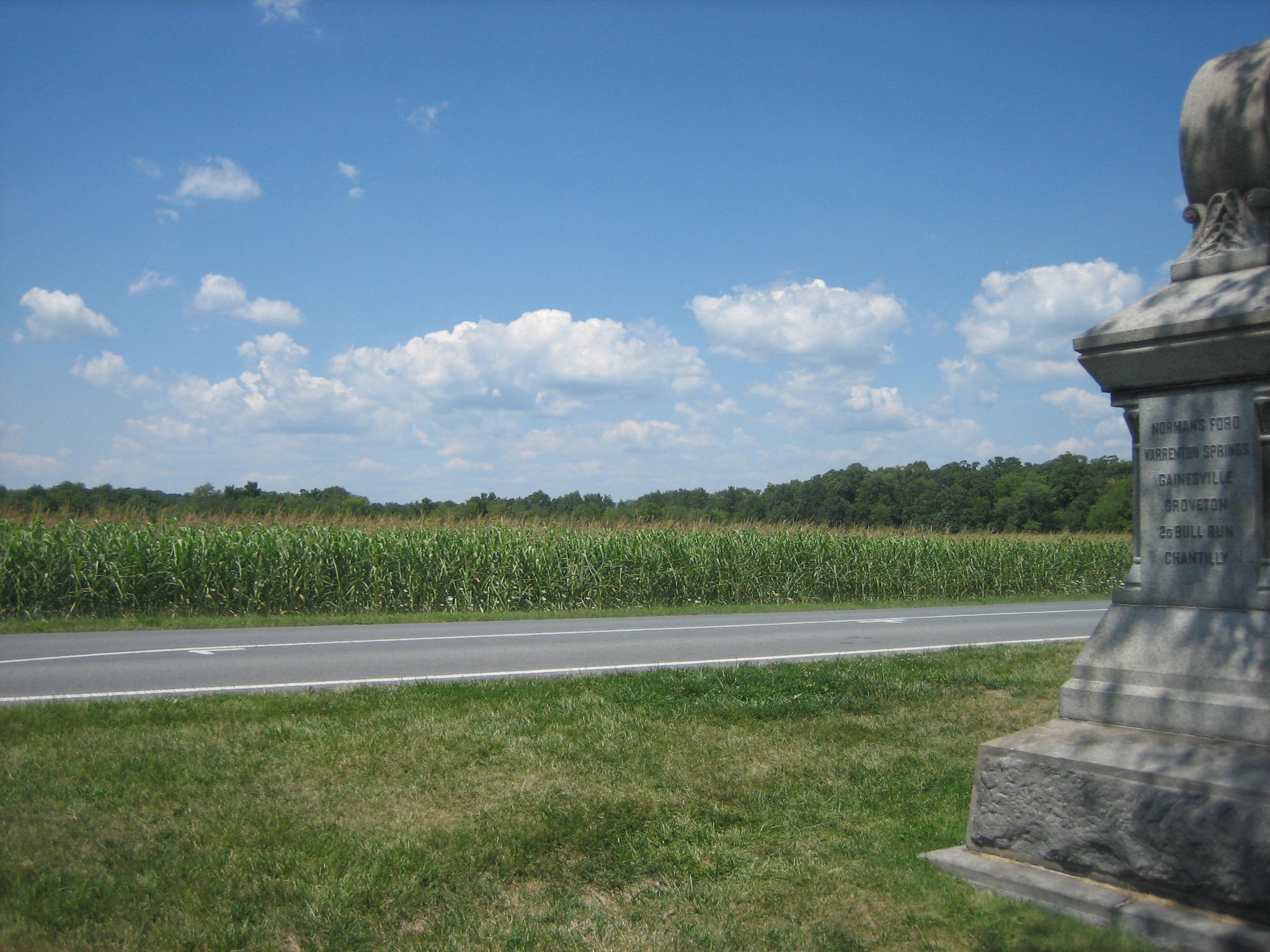
When this “super corn” is harvested this fall, it will be much higher than it currently is. We now understand why General Abner Doubleday’s bronze statue is located so high. He has to see over the corn. This view was taken from the southeast facing northwest at approximately 1:15 PM on Sunday, August 17, 2008.
Let’s look at the Union’s First Corps line from another direction. Here we’re coming up Meredith Avenue (driving east on Meredith Avenue) as the Confederates attacked this position, and we want to show visitors the long line of monuments representing men that they would face. Good luck. This view was taken from the northwest facing southeast at approximately 1:15 PM on Sunday, August 17, 2008.
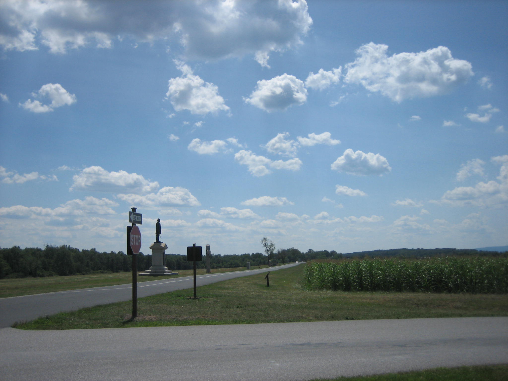
As you drive farther up (east) the slope you can finally see General Doubleday’s statue. This view was taken from the northwest facing southeast at approximately 1:15 PM on Sunday, August 17, 2008.
When visitors finally arrive at the top of McPherson’s Ridge, they can finally see the monuments along Reynolds’ Avenue if they look through the National Park Service signs. Yes the Park Service has more signs on the battlefield than ever before which also is not consistent with battlefield rehabilitation, but that’s for another post. This view was taken from the northwest facing southeast at approximately 1:15 PM on Sunday, August 17, 2008.
Let’s be clear, we like the leasing program. But can the crops that obstruct the views of visitors be planted in the low ground or “bottom land” instead of so far up the slopes or on top of the slopes themselves? Can’t there be some more restrictions written into the farmers’ leases? How about planting the “super corn” in this low ground between McPherson’s Ridge and Seminary Ridge in the distance? We posted pictures and video of hay being taken from the battlefield in this location on July 30, 2008. This view was taken from the west facing east at approximately 1:15 PM on Sunday, August 17, 2008.
Here’s what we like. The corn is planted in the low ground between McPherson’s Ridge/Oak Ridge to the east and Forney Ridge to the west. The Eternal Light Peace Memorial is visible on Oak Hill in the distance. Please keep doing this. This shows consistency with the battlefield rehabilitation program the National Park Service has been instituting the last couple of years. This view was taken from the southeast facing northwest at approximately 1:15 PM on Sunday, August 17, 2008.