This painting titled General View of the Union Lines on the Morning of July 3, 10 AM, During the Attack of Johnston’s Div. C.S.A. by the artist Edwin Forbes shows the area around the Baltimore Pike. Powers Hill is on the far left with a lot of its trees removed, near the summit. Trees are still present to the left of the summit, however. Granite School House Road is at the bottom of Powers Hill with some ambulances and marching soldiers. Blacksmith Shop Road Runs from the bottom right of the picture to the left (containing men on horseback and some marching soldiers) where it forms a junction with Granite School House Road and eventually the Baltimore Pike. The Baltimore Pike is shown running over Cemetery Hill in the Center background. Culp’s Hill is mostly hidden by battle smoke in the right background. McAllister’s Hill/Wolf’s Hill would be the hill on the far right. This view, courtesy of the Library of Congress, was painted between 1865 and 1895 from a drawing facing northeast at approximately 10:00 AM on Friday, July 3, 1863.
The tree cutting and clearing on the east slope of Powers Hill is still continuing. We walked along the Baltimore Pike and Granite Schoolhouse Lane to take pictures of the progress.
This drawing by the artist Edwin Forbes is the basis for the painting shown above. The drawing shows the area around the Baltimore Pike. Powers Hill is on the far left with a lot of its trees removed, near the summit and a couple of artillery pieces visible. Trees are still present to the left of the summit, however. Granite School House Road is at the bottom of Powers Hill with some ambulances and marching soldiers. Blacksmith Shop Road Runs from the bottom right of the picture to the left (containing lots of marching soldiers) where it forms a junction with Granite School House Road and eventually the Baltimore Pike. The Baltimore Pike is shown running over Cemetery Hill in the Center background. The Cemetery Gatehouse is much farther to the left of the Baltimore Pike than it actually is. East Cemetery Hill is shown by the number “11.” Culp’s Hill is shown by the number “1.” The Lower Culp’s Hill/Spangler’s Meadow area is shown by the number “9.” McAllister’s Hill/Wolf’s Hill would be the hill on the far right. The drawing is certainly not to scale, but gives a good view of how busy this area was during the battle. This view, courtesy of the Library of Congress, was drawn facing northeast at approximately 10:00 AM on Friday, July 3, 1863.
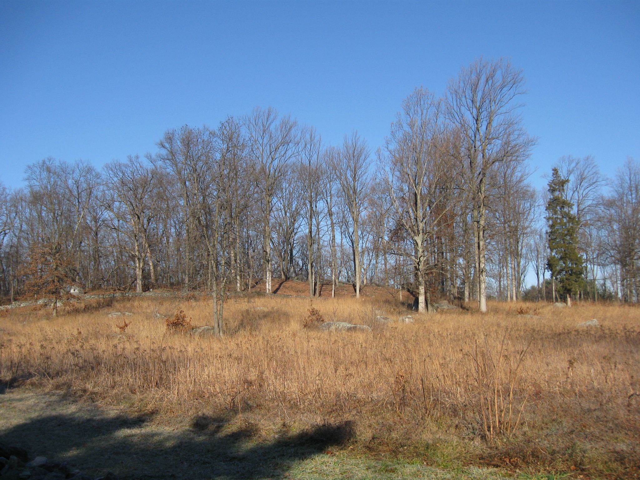
We’ll take another walk around Powers Hill to show you a little progress on the tree clearing. We will start with this picture of Powers Hill taken near the junction of the Baltimore Pike and Granite Schoolhouse Lane. This view was taken facing west at approximately 9:30 AM on Sunday, December 11, 2011.
The same view a couple of weeks ago. This view was taken facing west at approximately 1:15 PM on Saturday, February 26, 2011.
A similar view taken last year. This view was taken facing west at approximately 10:30 AM on Sunday, December 19, 2010.
We’ll start across the Baltimore Pike from Mulligan McDuffer’s Miniature Golf. This view was taken facing north at approximately 9:30 AM on Sunday, December 11, 2011.
The underbrush on the right is still pretty thick. But the area on the left shows that even if a lot more trees haven’t been cut down in the last two weeks, many of those laying on the ground at that time have been removed. This view was taken facing southwest at approximately 9:30 AM on Sunday, December 11, 2011.
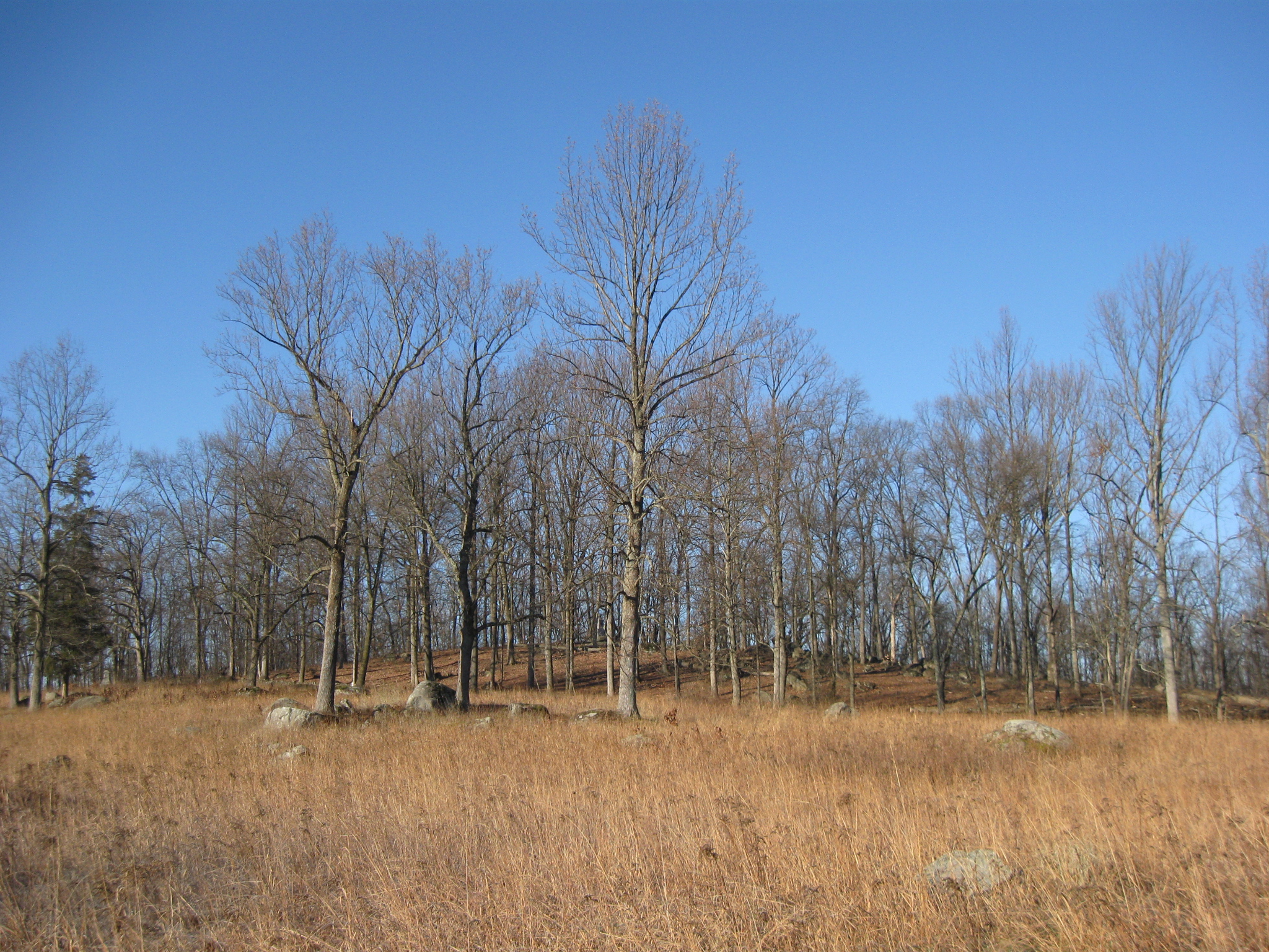
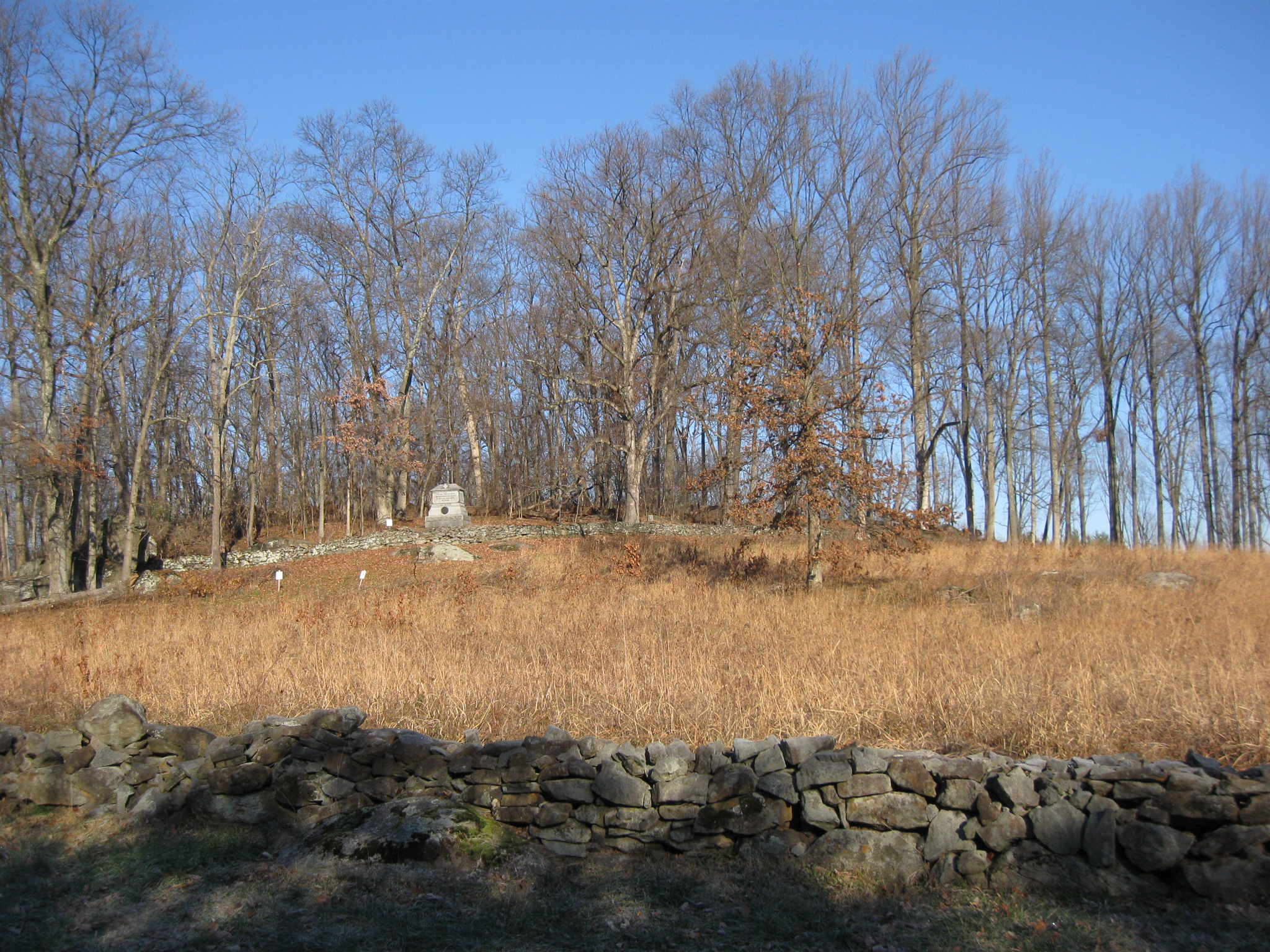
The view to the top of Powers Hill from the Baltimore Pike. This view was facing southwest at approximately 9:30 AM on Sunday, December 11, 2011.
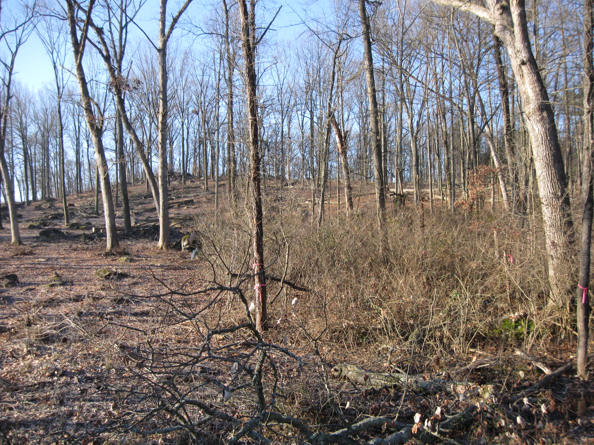
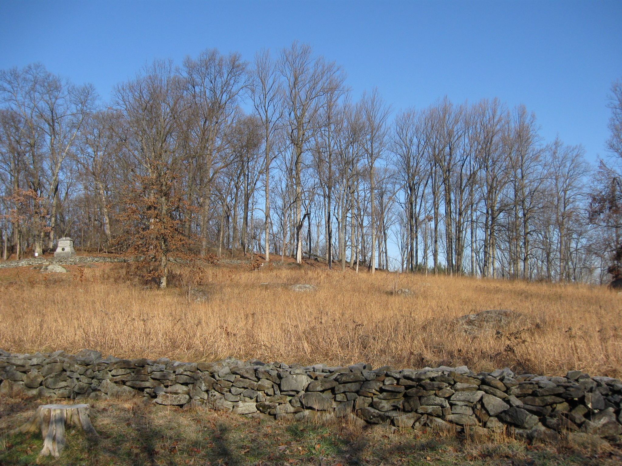
There are still more than a couple of trees growing along the stone wall. This view was taken facing southwest at approximately 9:30 AM on Sunday, December 11, 2011.
The ground has mostly been cleared between this stone wall and a stone wall at the foot of the trees in the right background. This view was taken facing west at approximately 9:30 AM on Sunday, December 11, 2011.
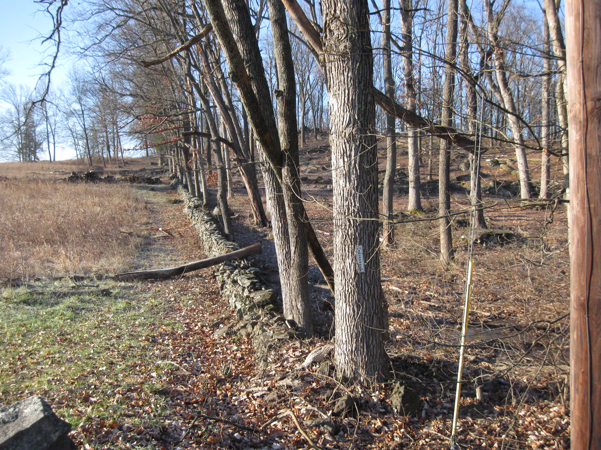
Another view of the trees along the wall that might be coming down in the near future. This view was taken facing west at approximately 9:30 AM on Sunday, December 11, 2011.
And through them is visible the monument to Captain James H. Rigby’s Battery A, 1st Maryland Light Artillery (USA).This view was taken facing west at approximately 9:30 AM on Sunday, December 11, 2011.
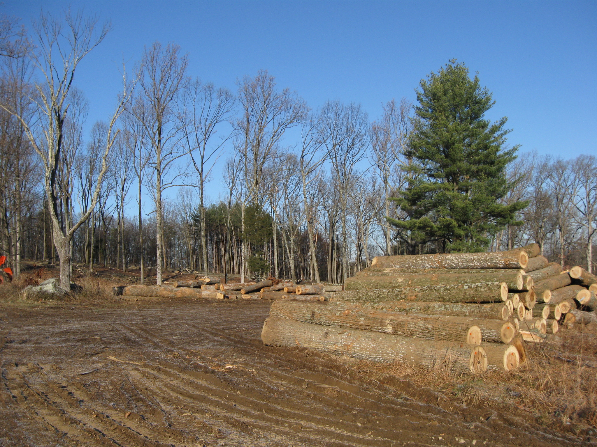
The area where the trees are laid to rest after they have been pulled from the slope of Powers Hill. This view was taken facing northwest at approximately 9:30 AM on Sunday, December 11, 2011.
The trees on the right have all been tagged. This view was taken facing north at approximately 9:30 AM on Sunday, December 11, 2011.
We’re now walking parallel to Granite Schoolhouse Lane, which is behind us.This view was taken facing northwest at approximately 9:30 AM on Sunday, December 11, 2011.
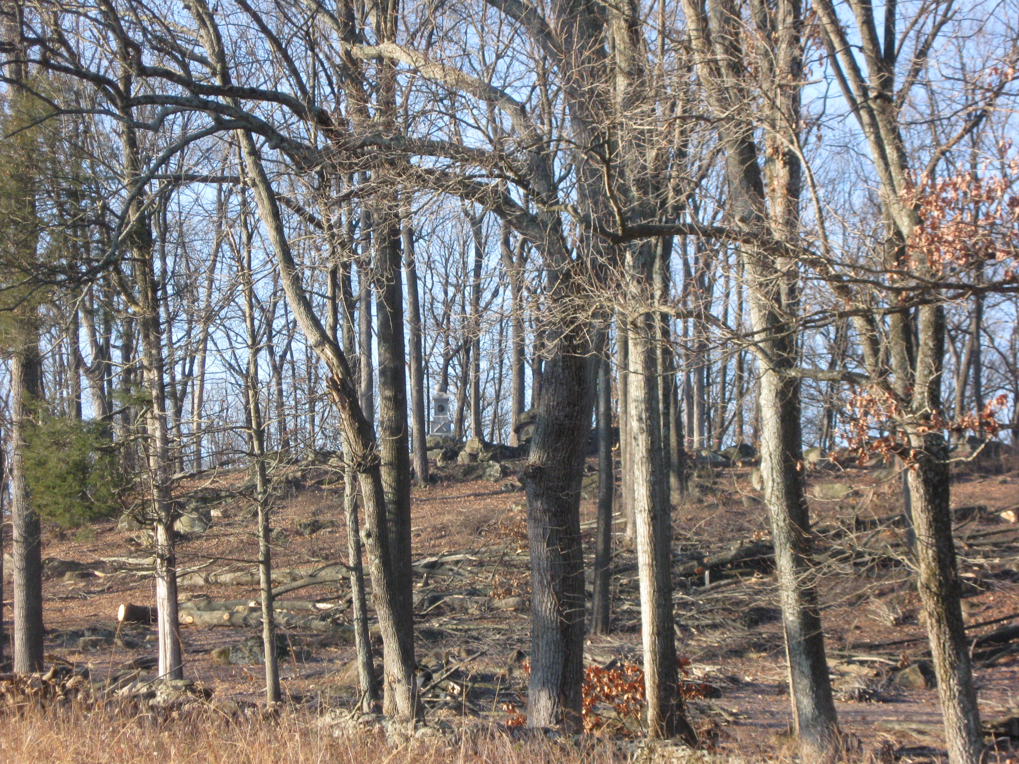
According to the Forbes sketch, the trees on the right half of this view should be removed. This view was taken facing northwest at approximately 9:30 AM on Sunday, December 11, 2011.
Trees to the left of the picture, good. Trees to the right of the picture, bad. This view was taken facing northwest at approximately 9:30 AM on Sunday, December 11, 2011.
For those of you who are familiar with the area and want to get your bearings, we are now across Granite Schoolhouse Lane from this property, which is for sale. This view was taken facing southeast at approximately 9:30 AM on Sunday, December 11, 2011.
Captain James Rigby wrote the following report of his battery’s action when they opened fire (firing from left to right) on Culp’s Hill on the morning of July 3, 1863: “At daylight on the morning of the 3d, I commenced shelling the woods in my front, and continued firing slowly for about three hours. I remained in this position until Sunday afternoon, July 5.” This view was taken facing north at approximately 1:15 PM on Saturday, February 26, 2011.
Captain Rigby’s report continued: “During the whole time I only fired 211 rounds– 41 rounds of Schenkl percussion shell and 170 Hotchkiss shell. I have been informed by Major -General Slocum that the battery did terrible execution.” This view was taken facing north at approximately 6:00 PM on Thursday June 2, 2011.
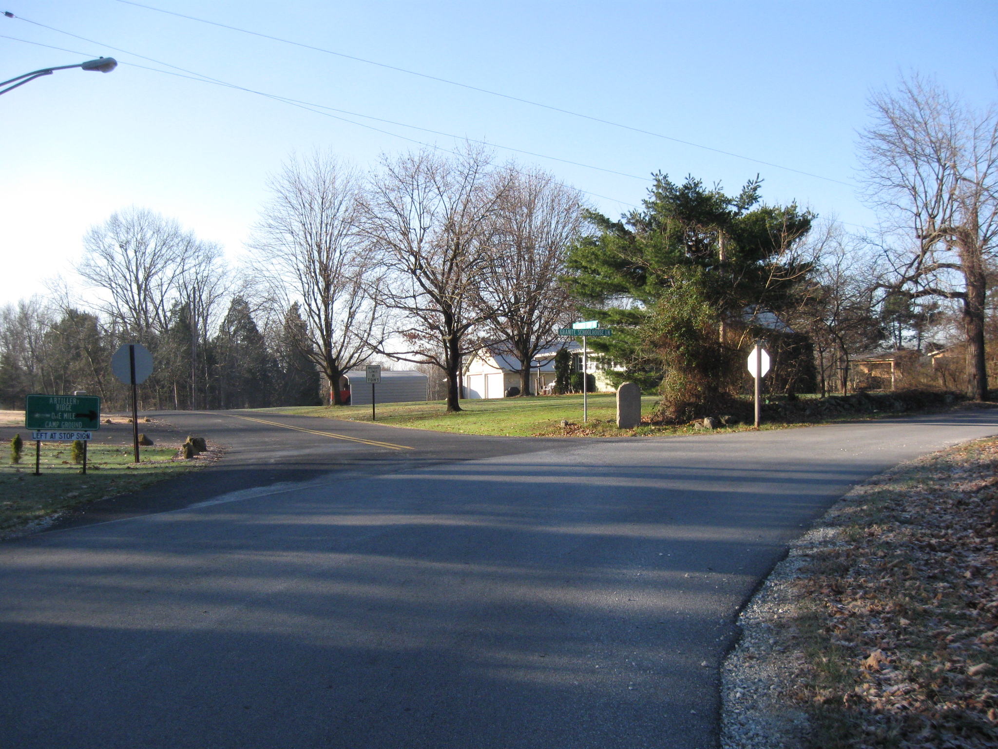
We have now reached the junction of Blacksmith Shop Road on the left and Granite Schoolhouse Lane which continues to the right. This view was taken facing southwest at approximately 9:30 AM on Sunday, December 11, 2011.
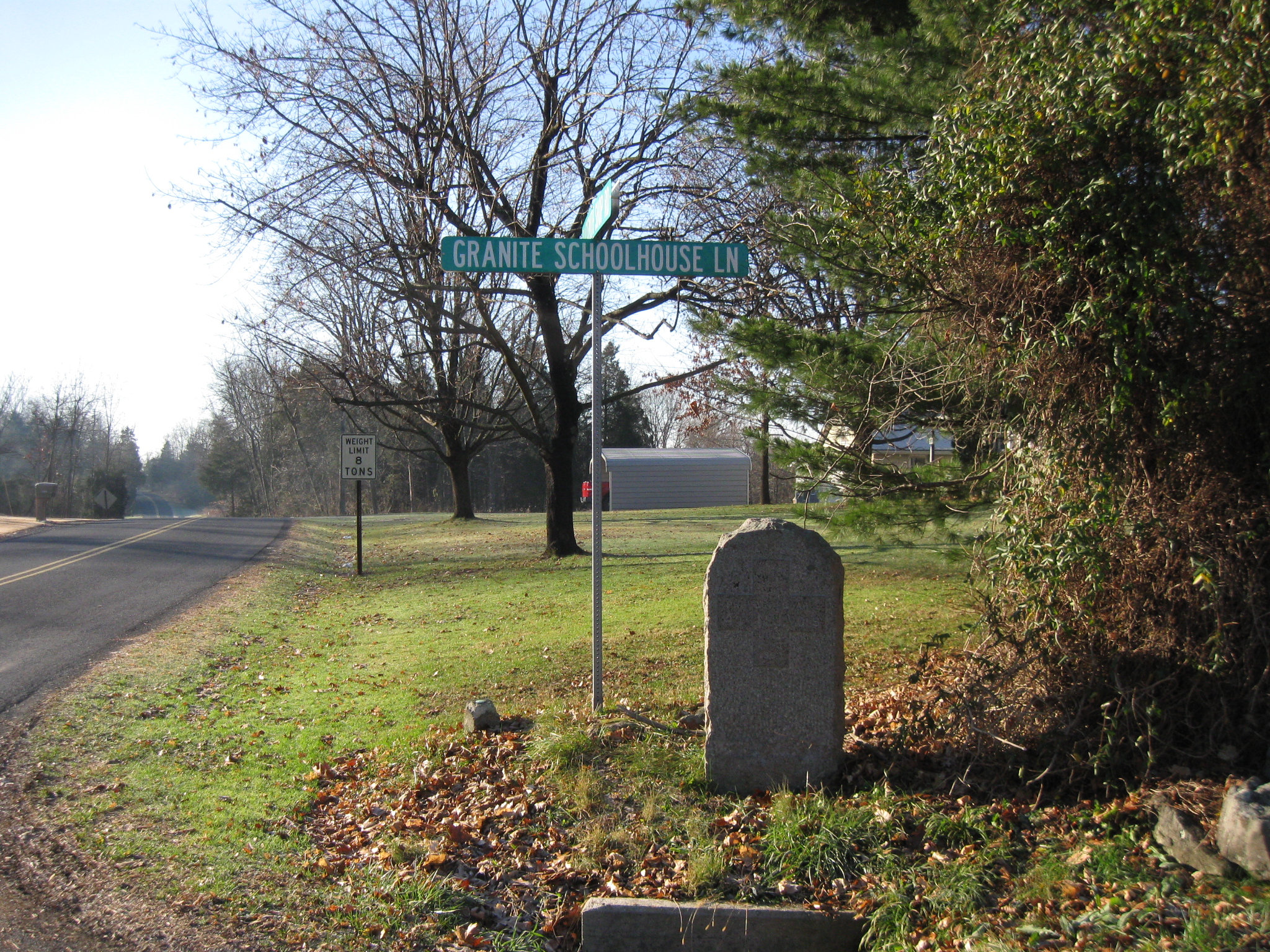
At this junction is a marker… This view was taken facing northwest at approximately 9:30 AM on Sunday, December 11, 2011.
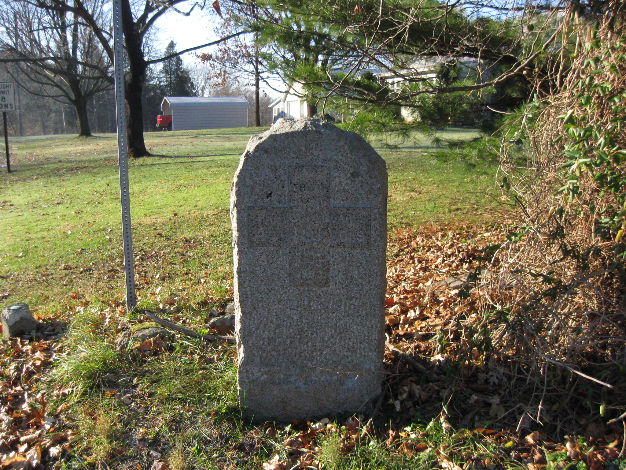
… to the 4th New Jersey Infantry Regiment which was serving duty as “Train Guard.” This view was taken facing south at approximately 9:30 AM on Sunday, December 11, 2011.
Rigby concluded his report with: “I am happy to state that I had not casualties whatever.” This view was taken facing north at approximately 9:30 AM on Sunday, December 11, 2011.
A closer view of Rigby’s monument. This view was taken facing north at approximately 9:30 AM on Sunday, December 11, 2011.
The monument to the 77th New York Infantry Regiment is clearly visible on the left. Rigby’s Battery wasn’t the only artillery unit on Powers Hill. Here is a report from Lieutenant Edward D. Muhlenberg who commanded the artillery brigade of the 12th Corps: Knap’s Independent Pennsylvania Battery, Lieut. Charles a. Atwell commanding, was placed on a knob situated southwest of the pike 100 yards from it, and known on that day as Slocum’s Hill;…” This view was taken facing north at approximately 1:15 PM on Saturday, February 26, 20119:30 AM on Sunday, December 11, 2011.
“…Battery M, First New York Artillery, Lieutenant Winegar commanding, on a second elevation, a quater of a mile distant, and nearly due east from the first mentioned, both overlooking and commanding the ground just vacated by the corps…” This view was taken facing north at approximately 9:30 AM on Sunday, December 11, 2011.
“…These two batteries retained these positions during the whole engagement and did excellent service.” This view was taken facing north at approximately 9:30 AM on Sunday, December 11, 2011.