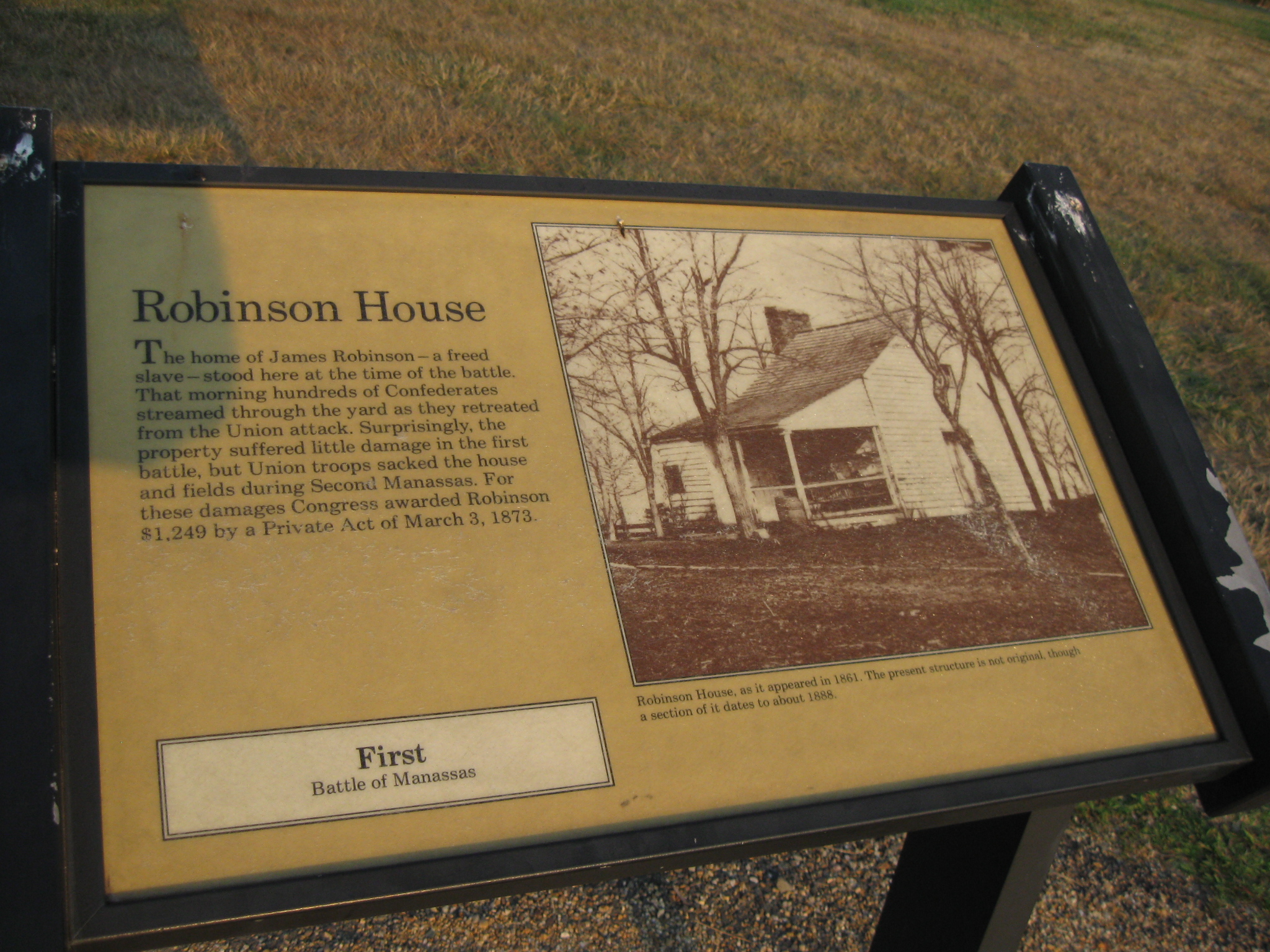
The James Robinson House was the home of a free African American on the Manassas Battlefield. South Carolinians under Wade Hampton rallied around the house on July 21, 1861. This view was taken facing southeast by George Barnard in 1862. It is courtesy of the Library of Congress.
The Gettysburg Daily decided on Thursday, July 21, 2011 that after finishing their tours at Gettysburg to drive to Manassas. The goal was to stand on the ground on the 150th anniversary of the Battle of First Manassas, to document the scene, and to avoid the crowds.
In the first Manassas 150th Anniversary post we showed the structures that were put in place for the commemoration ceremonies of the 150th Anniversary of the Battle of First Manassas (First Bull Run).
In today’s First Manassas 150th Anniversary post we walk back up Henry Hill towards the foundation of the James Robinson House Wade Hampton’s South Carolinians made a stand in Robinson’s Lane.
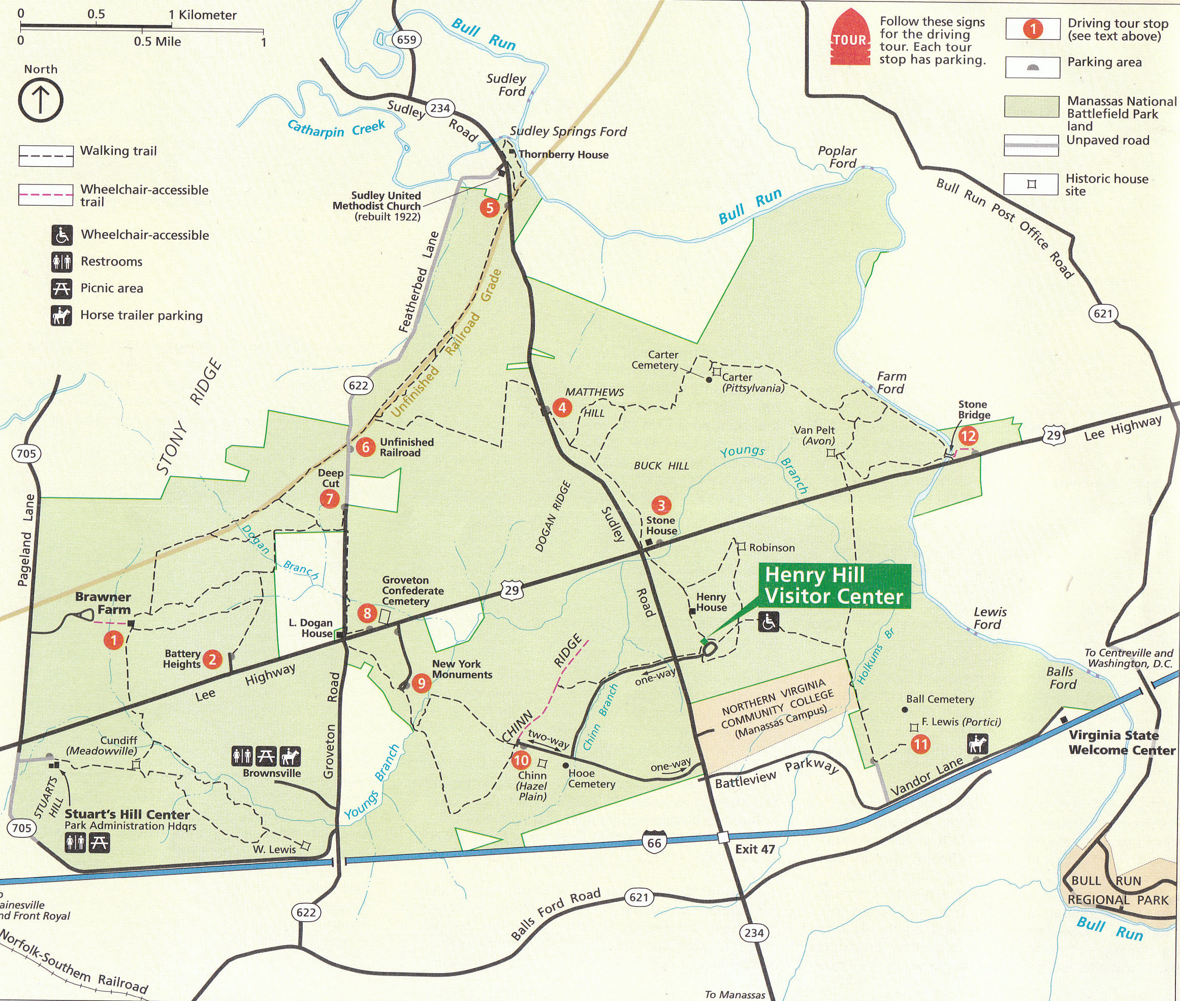
This is the National Park Service Map of Manassas National Battlefield. Most of the map shows areas concerning the Second Battle of Manassas, which was fought from August 28-30, 1862. Today, we are concerned about the First Battle of Manassas, which was fought on July 21, 1861. This final stages of the battle centered around the Henry Hill area, shown in the bottom right of the map. This map was scanned facing north at approximately 11:00 AM on Friday, July 22, 2011.
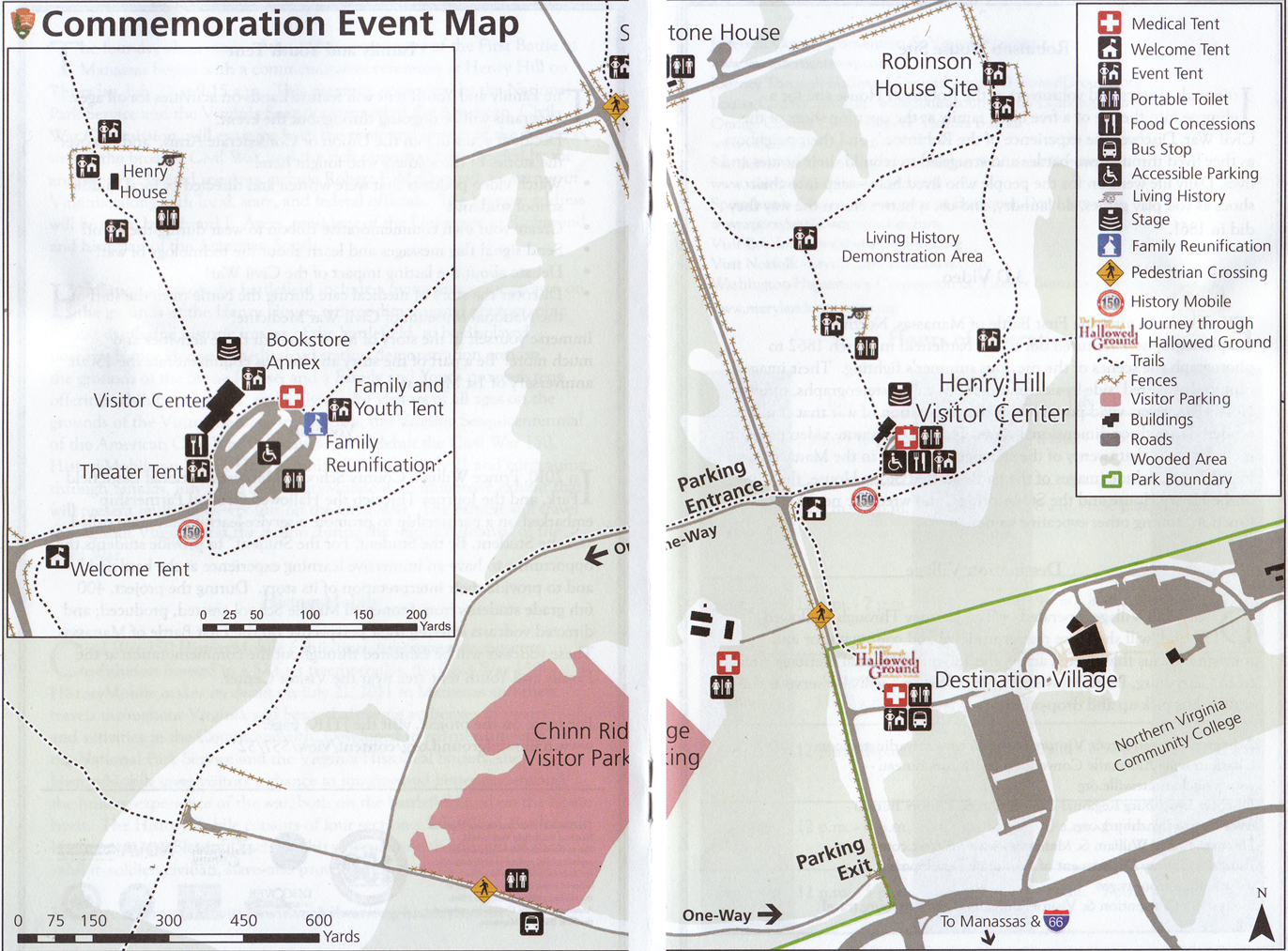
This is the National Park Service Map of the area around Henry Hill for the 150th anniversary period. Large tents, tractor trailers, Coca Cola trucks, Pepsi trucks, food stands, etc… dot the hill of the first major land battle of the American Civil War. So if you had thoughts of going to the battlefield and to be transported back in time 150 years ago, that was difficult. This map was scanned facing north at approximately 11:00 AM on Friday, July 22, 2011.
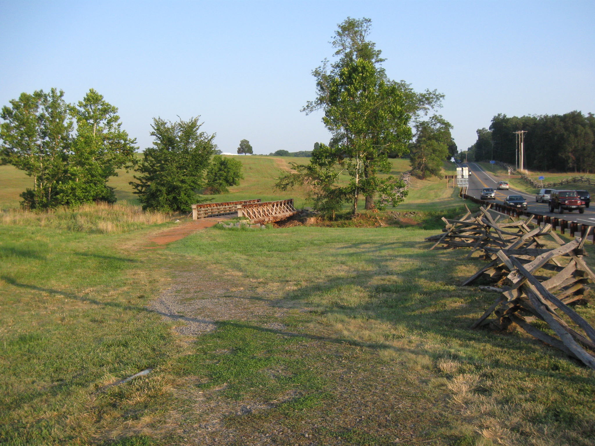
We continue our visit to Manassas National Battlefield to capture scenes in the final hours of daylight on July 21st, the 150th anniversary of the First Battle of Manassas. We are going to recross Young’s Branch on our way up Henry Hill. The Sudley Road is on the right. This view was taken facing southeast at approximately 8:15 PM on Thursday, July 21, 2011.
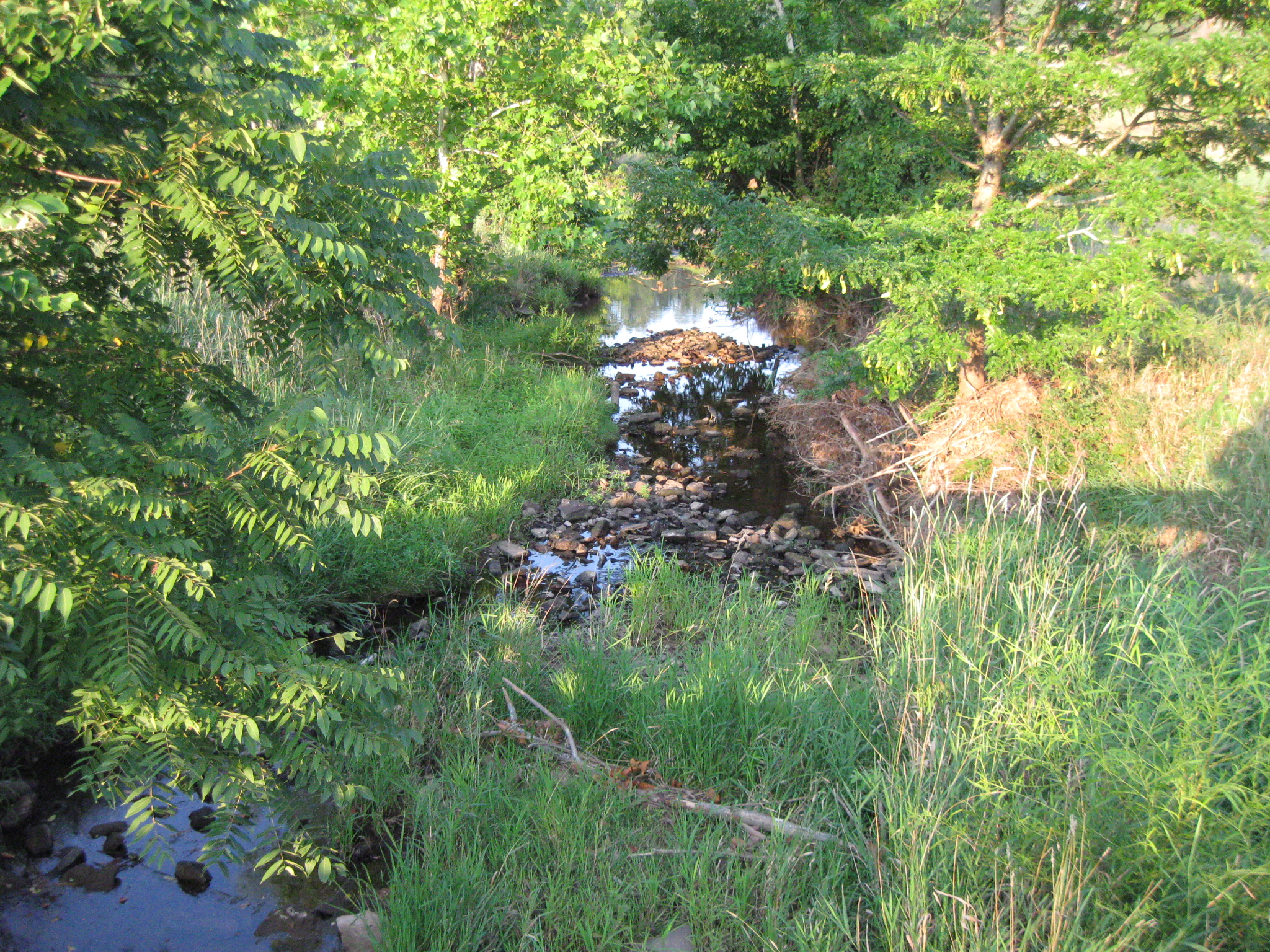
Because of the drought and temperatures over 100 degrees that week, Young’s Branch was not very deep. This view was taken facing east at approximately 8:15 PM on Thursday, July 21, 2011.
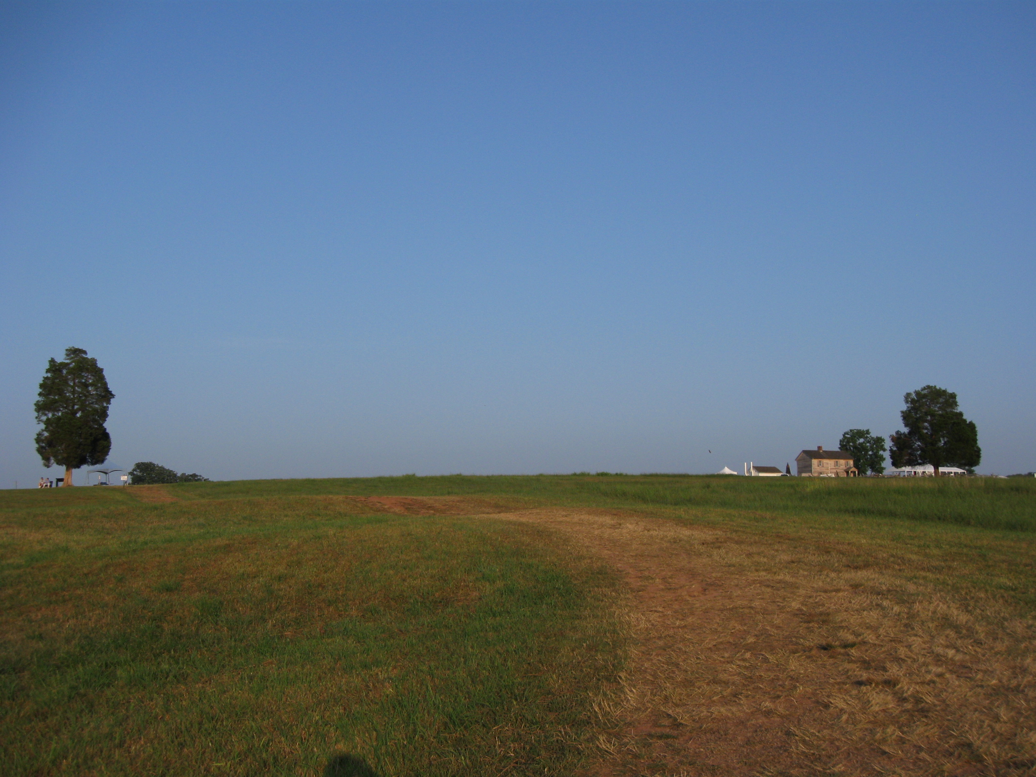
The Henry House is in the right backgound. The trail leads us to towards the cedar tree in the left background. This view was taken facing southeast at approximately 8:15 PM on Thursday, July 21, 2011.
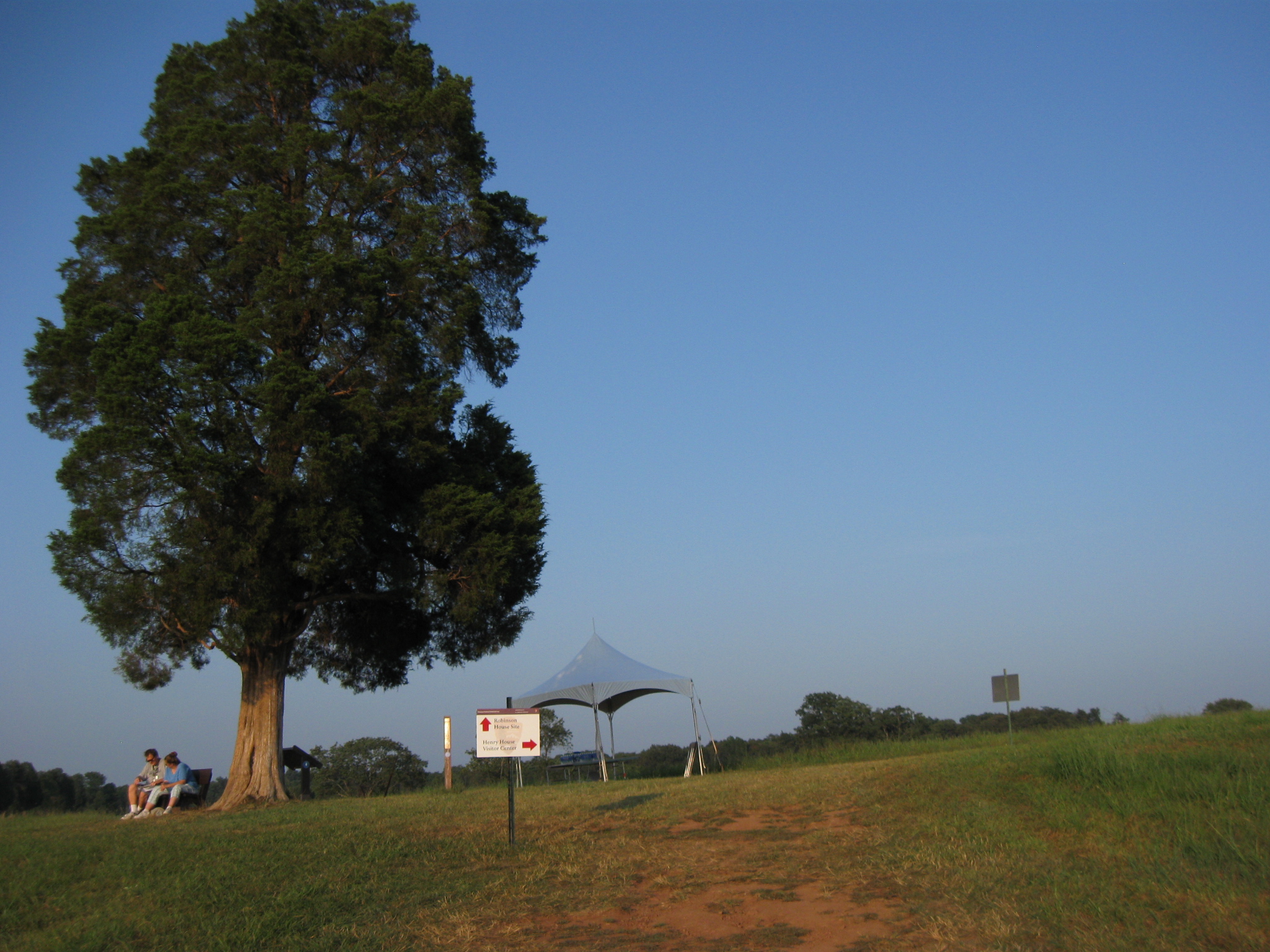
The couple underneath the cedar tree is where we left them, still studying the battle, as they were when we went down to the Stone House. This view was taken facing northeast at approximately 8:15 PM on Thursday, July 21, 2011.
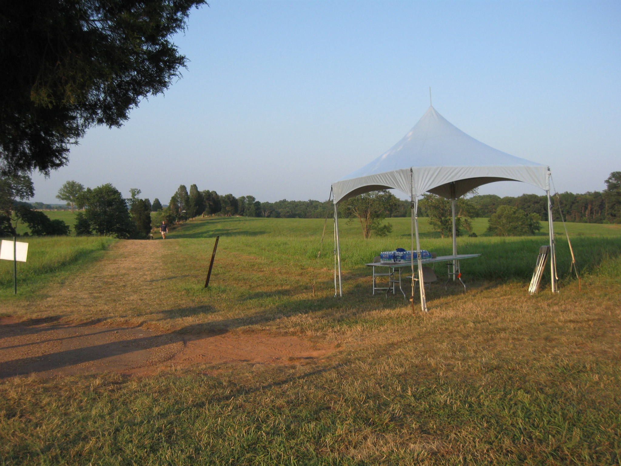
We stopped at the tent to pick up another water bottle. They were free, and it was over 100 degrees, even at this late hour. This view was taken facing northeast at approximately 8:15 PM on Thursday, July 21, 2011.
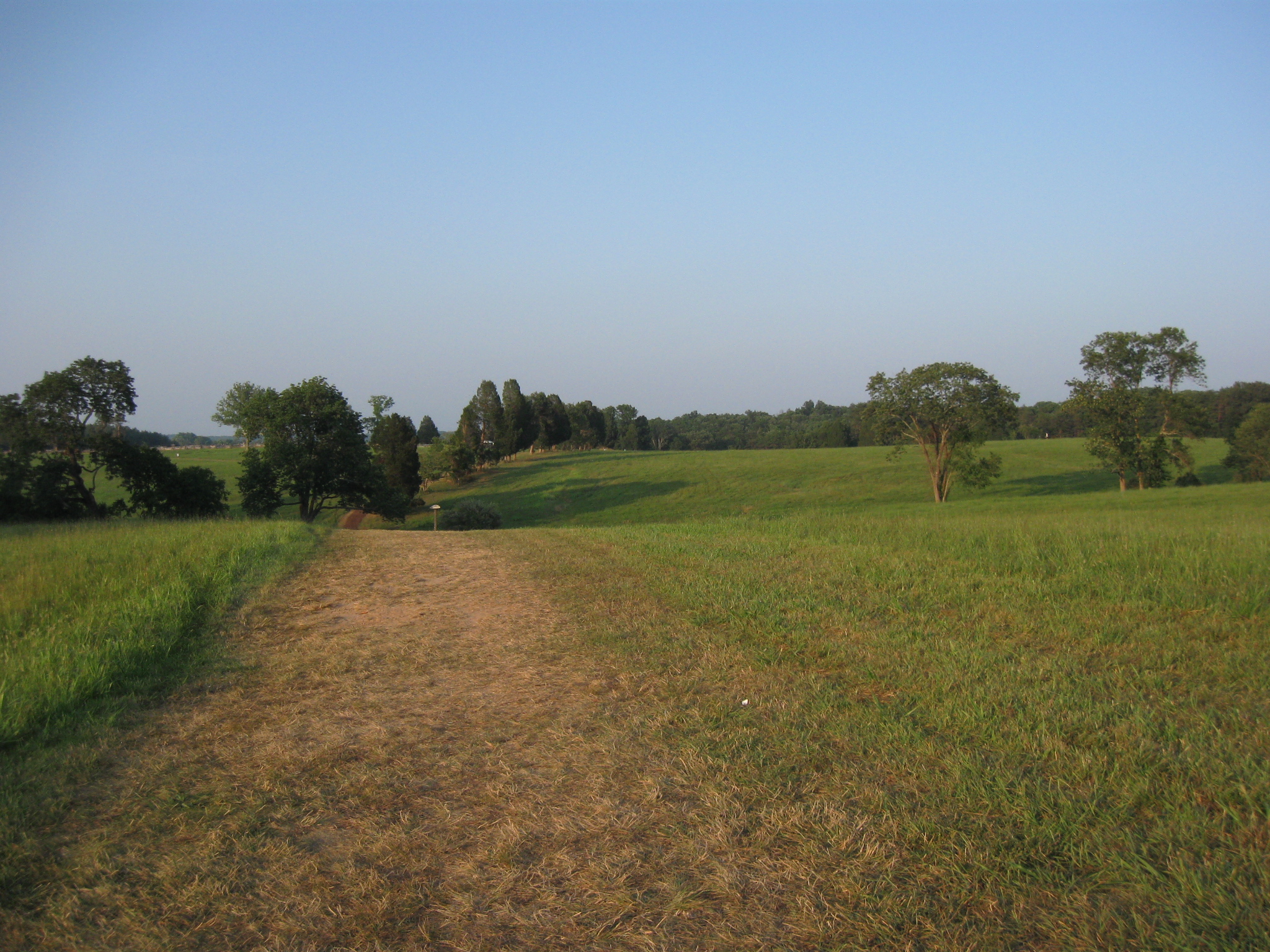
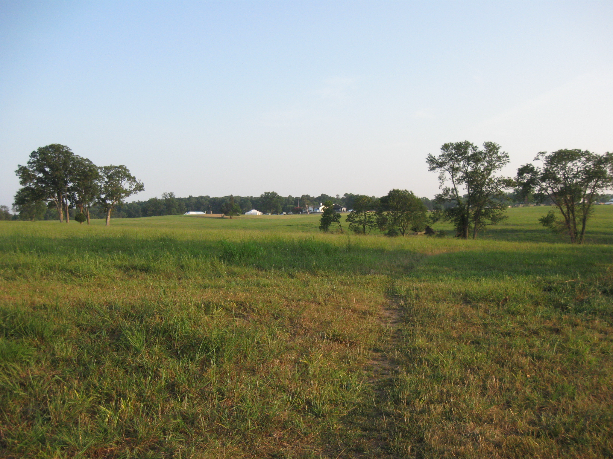
So we’re heading down this well-worn path towards the Robinson House site. This view was taken facing northeast at approximately 8:15 PM on Thursday, July 21, 2011.
This image is to give you an idea of how far we were from the Henry Hill complex. This view was taken facing southeast at approximately 8:15 PM on Thursday, July 21, 2011.
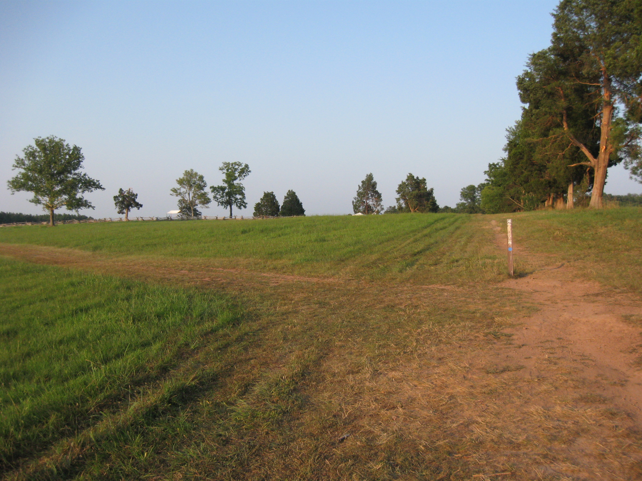
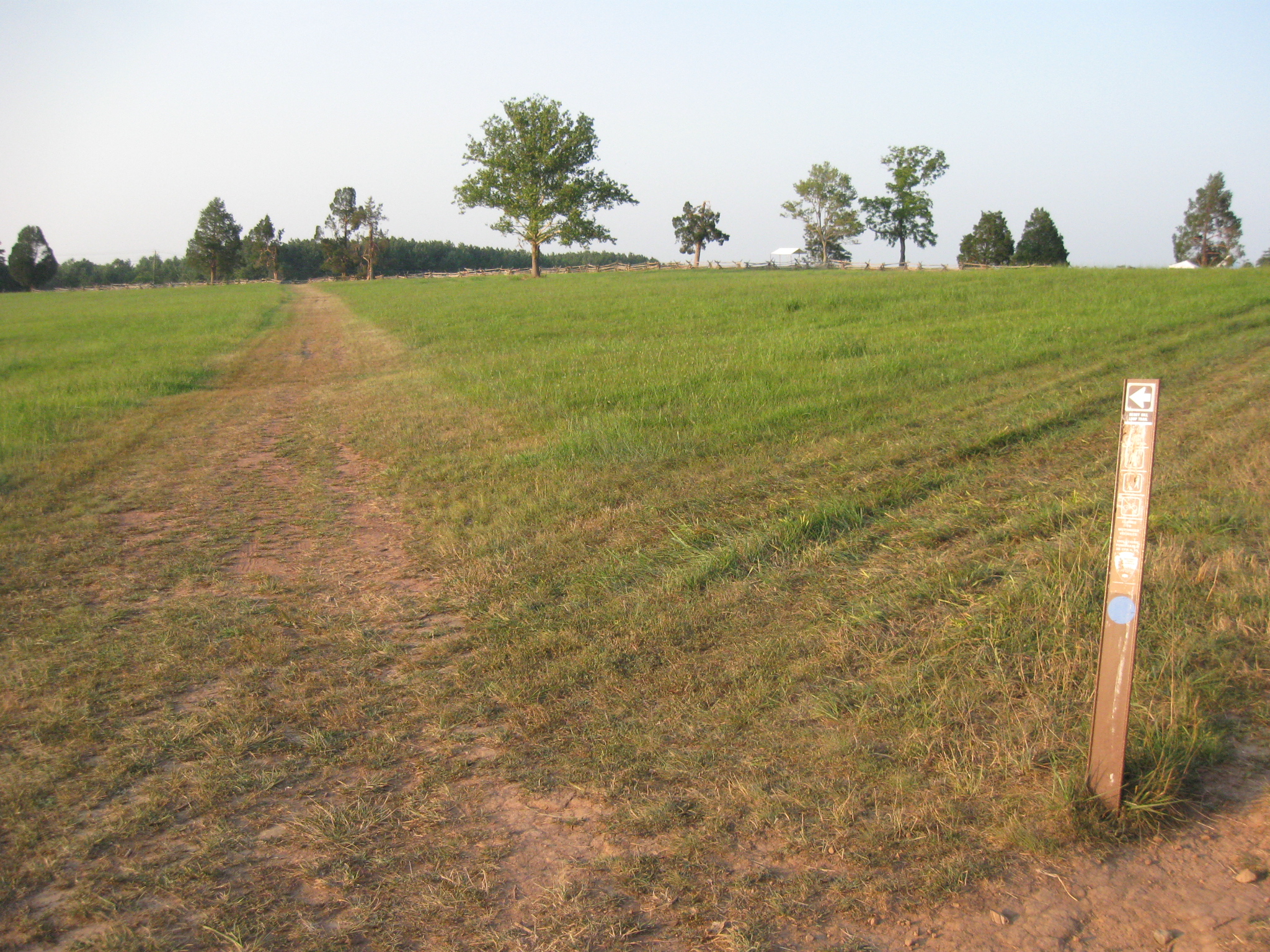
In case you’re here at a time when maybe there’s snow on the ground and you can’t follow the well-worn path… This view was taken facing northeast at approximately 8:15 PM on Thursday, July 21, 2011.
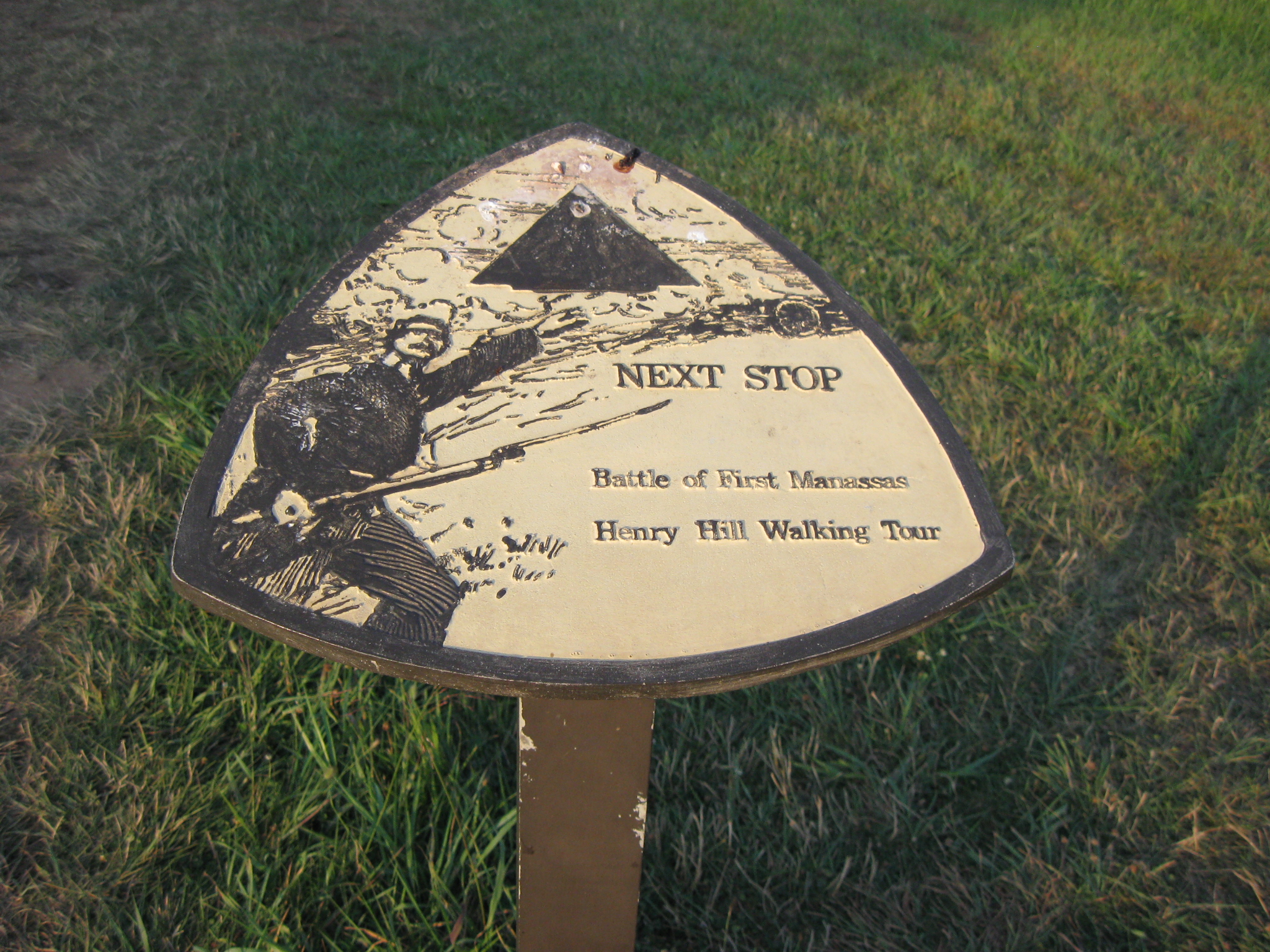
… you can follow this well-worn directional sign which hasn’t exactly been refurbished for the 150th anniversary of the battle. This view was taken facing northeast at approximately 8:15 PM on Thursday, July 21, 2011.
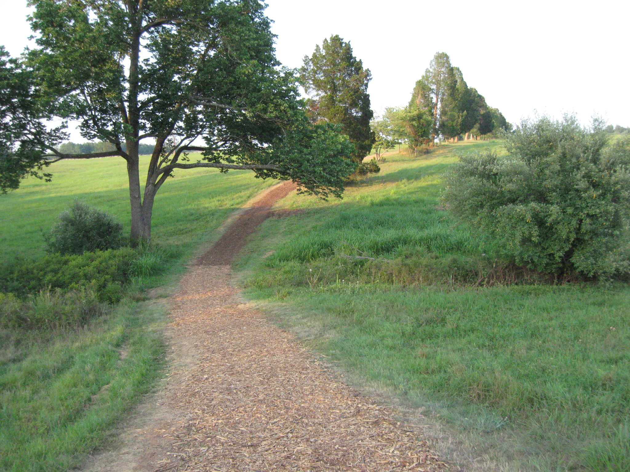
Now bark has been thrown on the pathway, possibly to give us traction as we go downhill. This view was taken facing northeast at approximately 8:15 PM on Thursday, July 21, 2011.
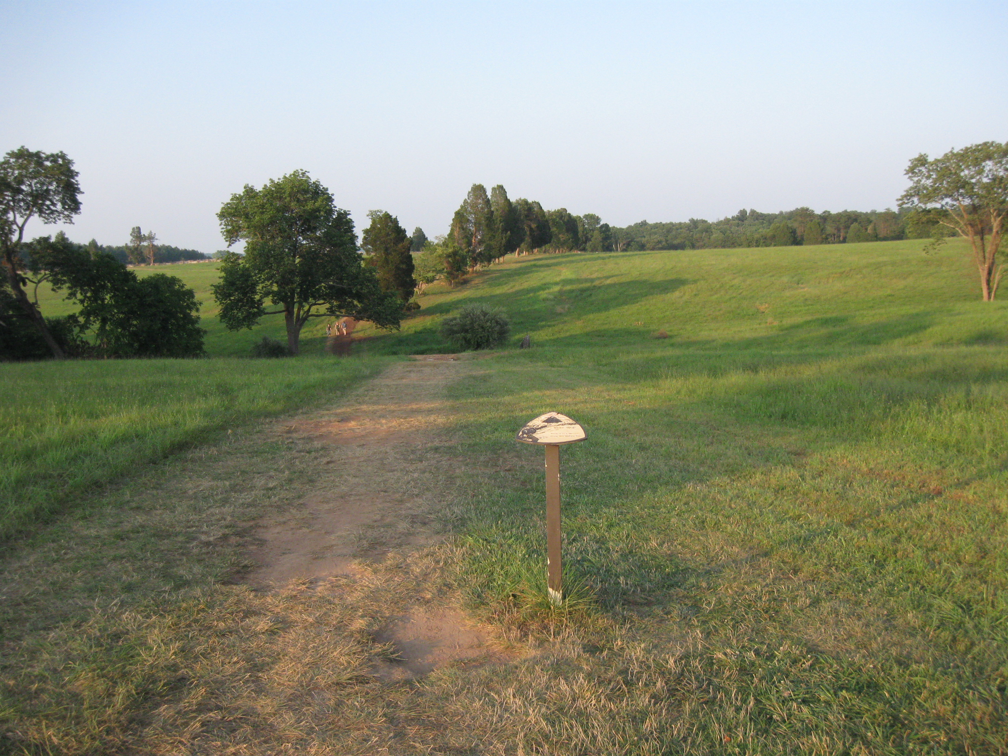
We’ve come to an intersection on the pathway. This view was taken facing northeast at approximately 8:15 PM on Thursday, July 21, 2011.
If we take the path to the right we will go to the Henry House (in the left background behind the trees in the foreground) or to the Visitor Center which is in the left background. This view was taken facing southwest at approximately 8:15 PM on Thursday, July 21, 2011.
We are going to take a left and move towards the site of the Robinson House. This view was taken facing northeast at approximately 8:15 PM on Thursday, July 21, 2011.
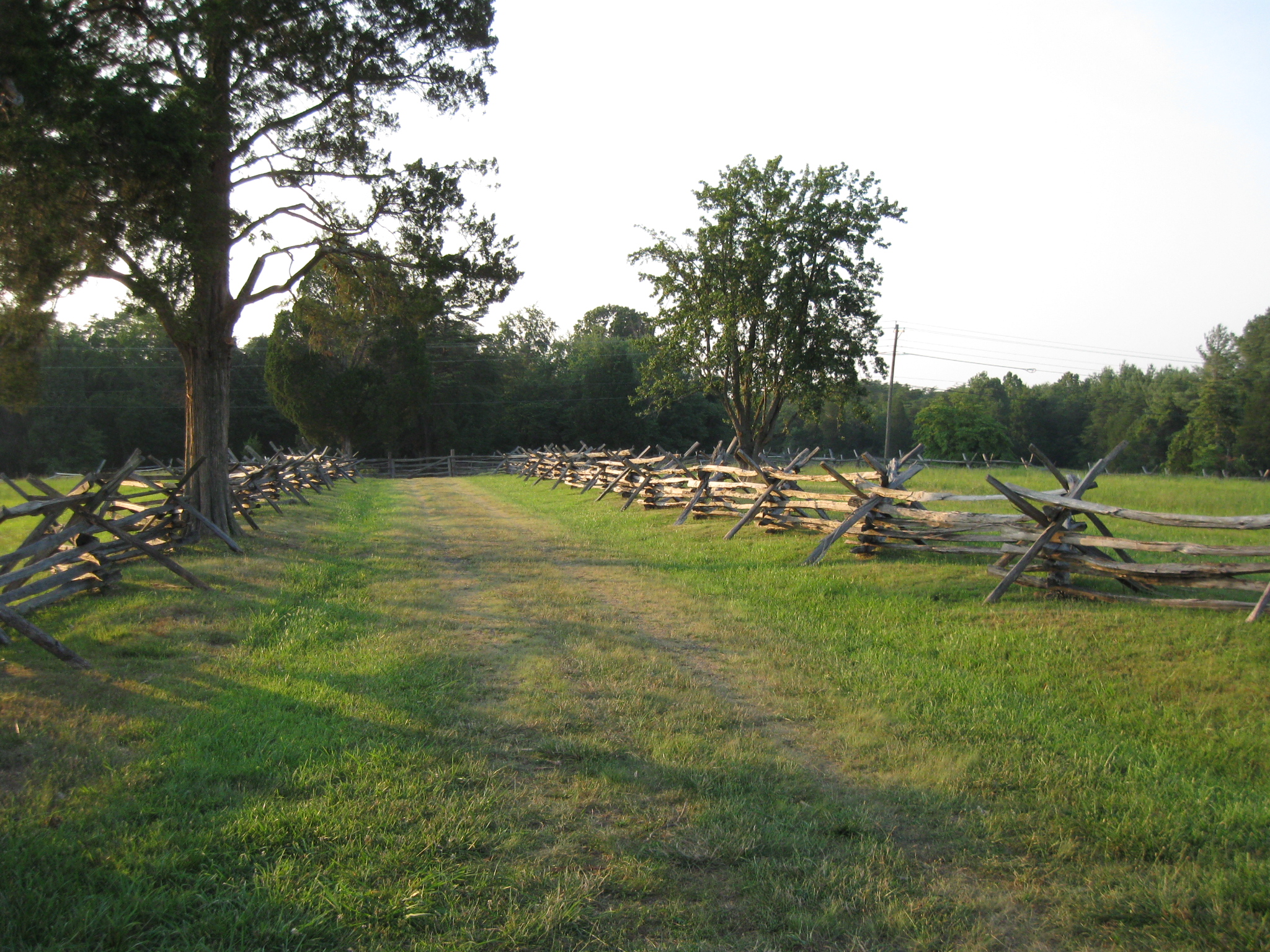
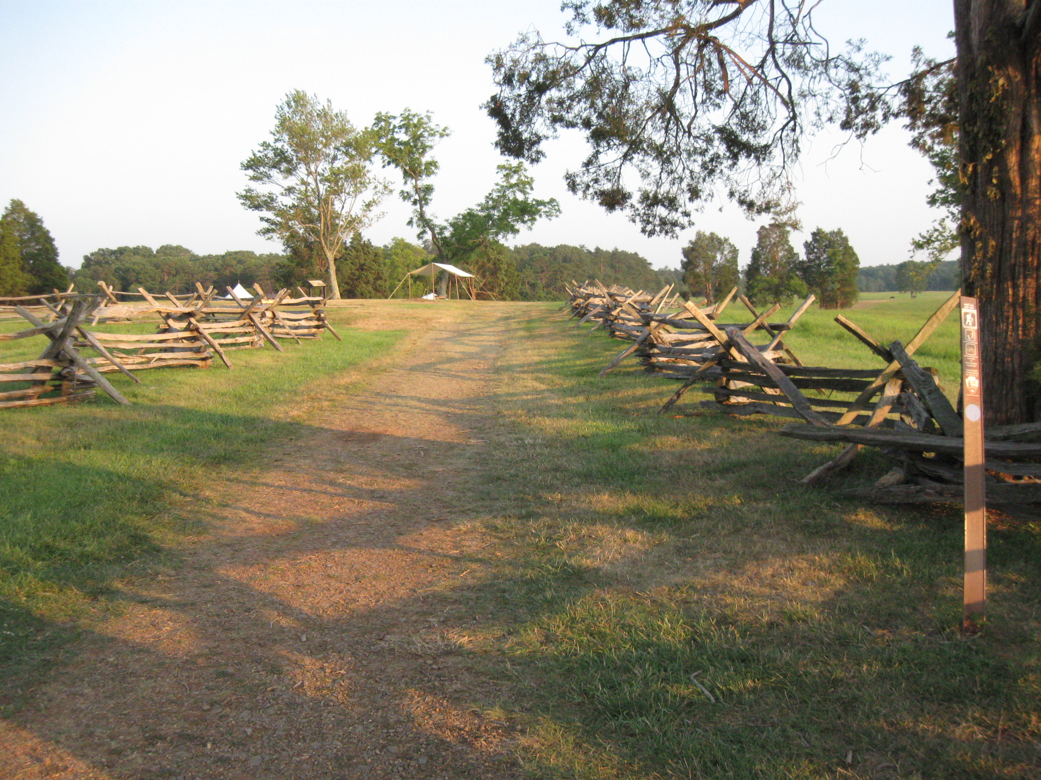
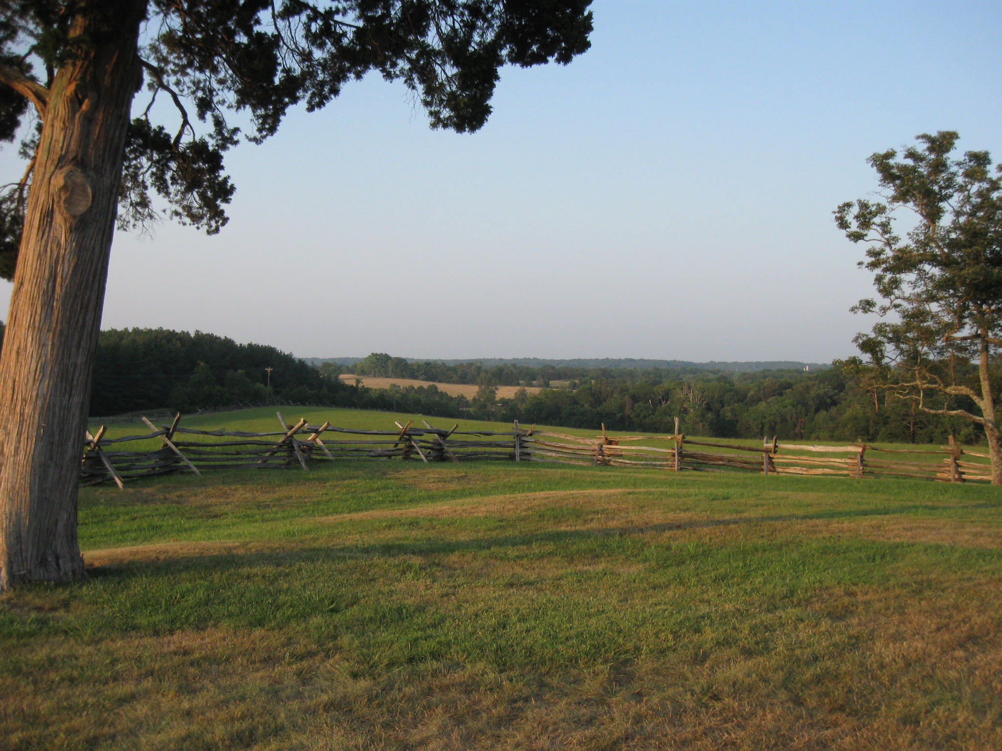
Robinson’s lane is marked by the Virginia “worm” fences and the cedar trees. This view was taken facing northeast at approximately 8:15 PM on Thursday, July 21, 2011.
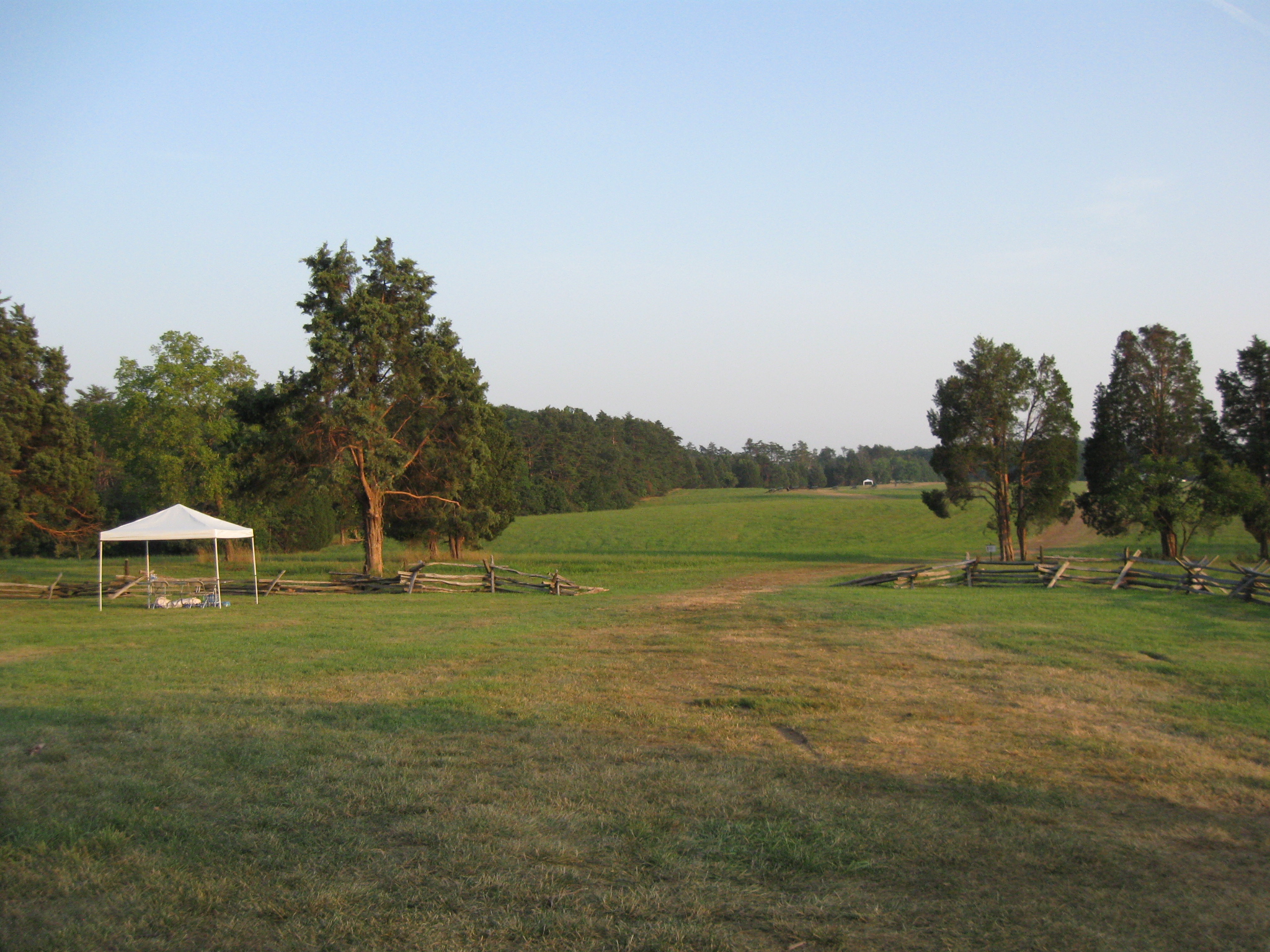
Looking norward in Robinson’s Lane. The Warrenton Turnpike is located where the utility lines are positioned from right to left in the background. This view was taken facing north at approximately 8:15 PM on Thursday, July 21, 2011.
Looking south on Robinson’s Lane. The site of the Robinson House is isn the left background near the white tents. This view was taken facing south at approximately 8:15 PM on Thursday, July 21, 2011.
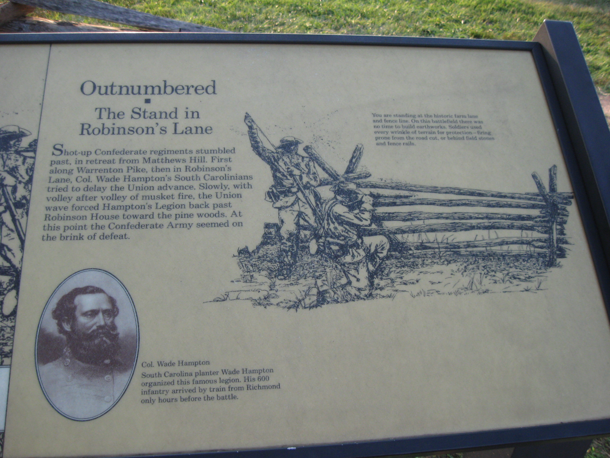
This wayside shows how some Confederates fell back from Matthews’ Hill and into Robinson Lane and attempted to put up a defense. This view was taken facing southwest at approximately 8:15 PM on Thursday, July 21, 2011.
A closeup of the wayside shows that the Confederates included South Carolinians under Wade Hampton. This view was taken facing southwest at approximately 8:15 PM on Thursday, July 21, 2011.
To give one a better idea of how far Matthews’ Hill is from Robinson’s Lane on Henry Hill, Matthews’ Hill is in the background in the distant treeline. This view was taken facing northwest at approximately 8:15 PM on Thursday, July 21, 2011.
We’ll continue towards the site of the James Robinson House. This view was taken facing southeast at approximately 8:15 PM on Thursday, July 21, 2011.
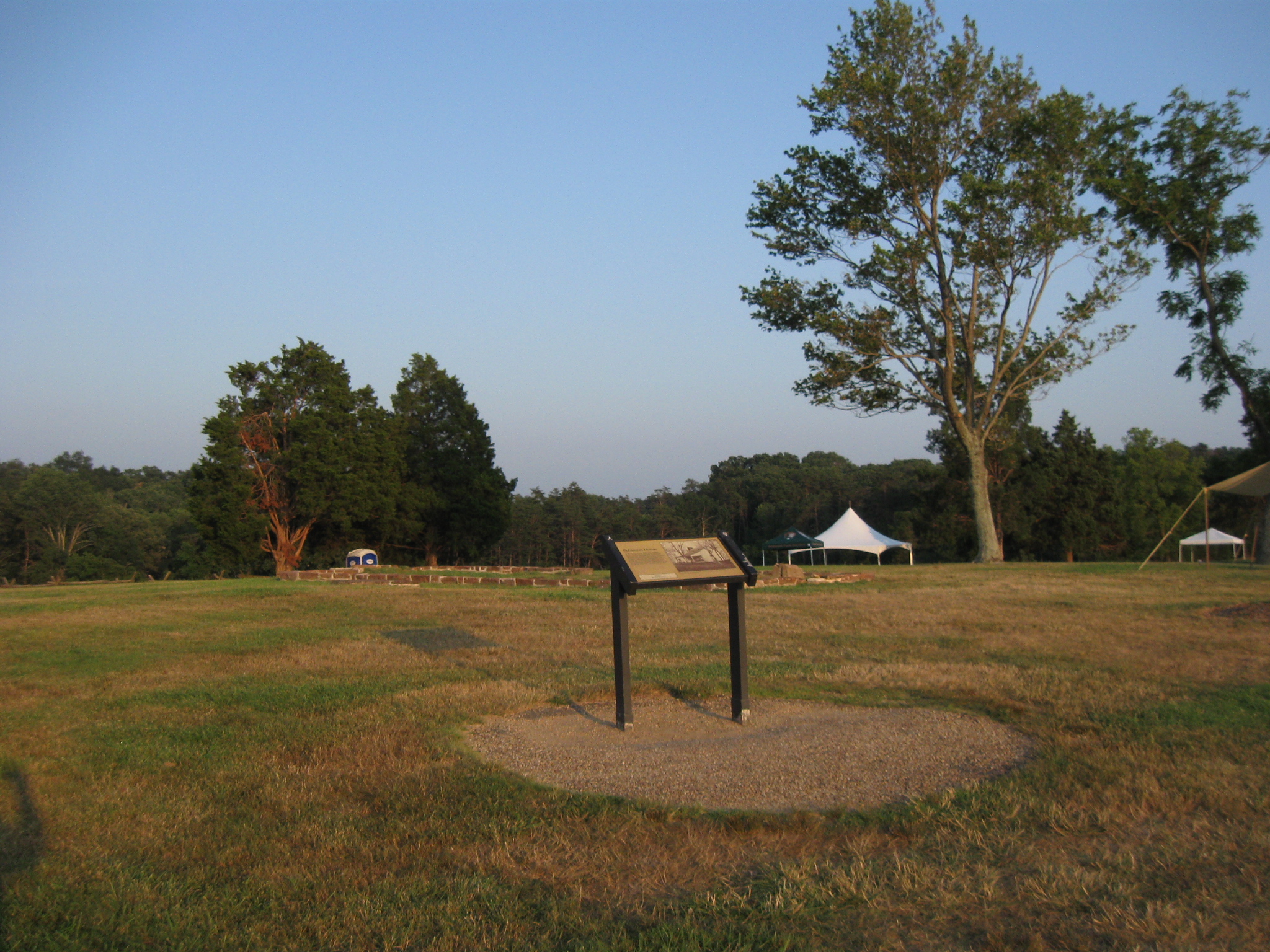
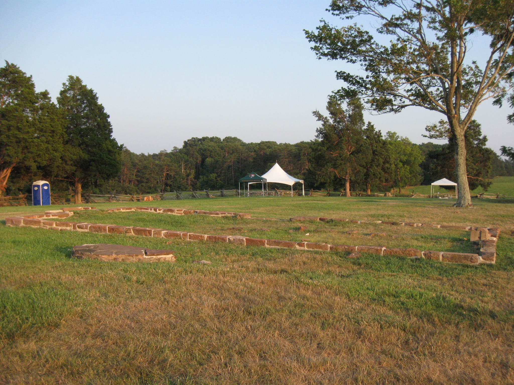
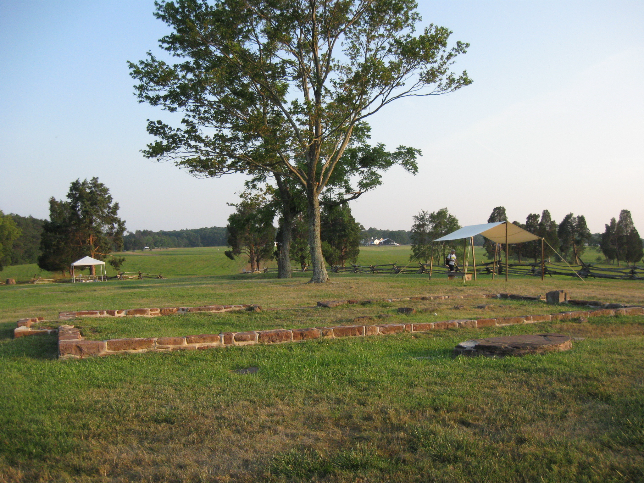
This is the plateau upon which the James Robinson House stood at the time of the battle. This view was taken facing southeast at approximately 8:15 PM on Thursday, July 21, 2011.
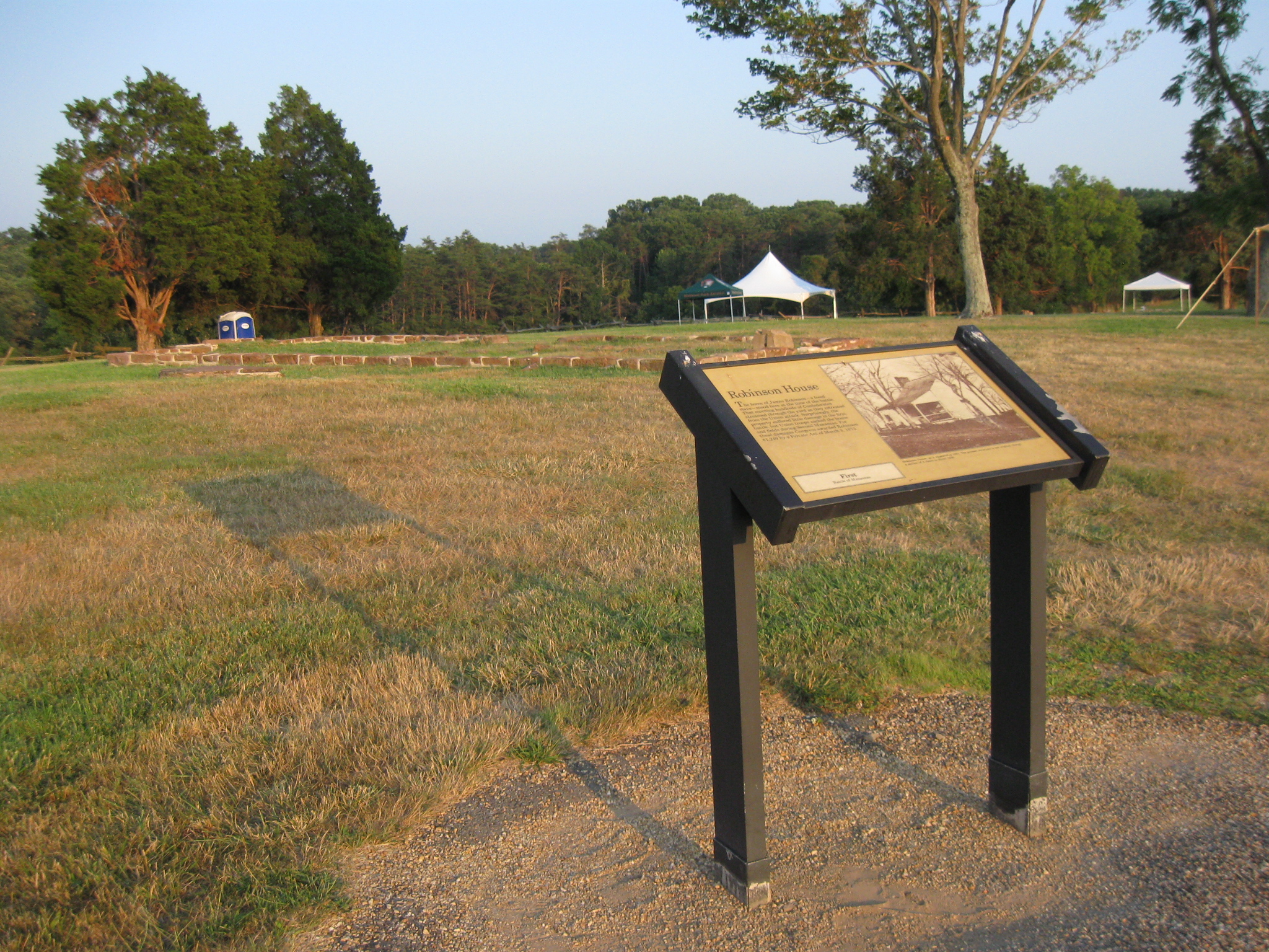
The foundation for the house is behind the wayside exhibit. This view was taken facing southeast at approximately 8:15 PM on Thursday, July 21, 2011.
A closer view of the wayside exhibit on the Robinson House. This view was taken facing southeast at approximately 8:15 PM on Thursday, July 21, 2011.
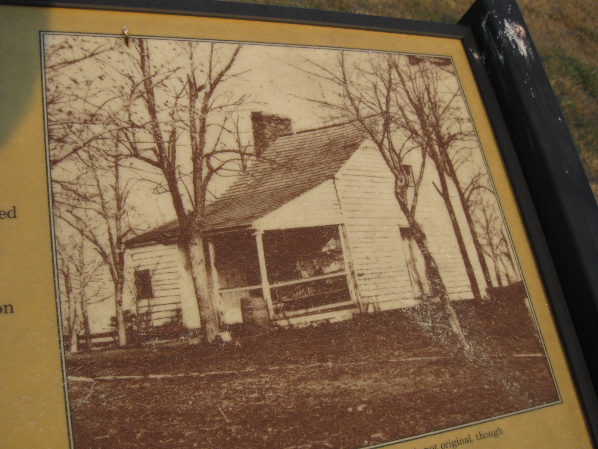
A closer view of the house as it may have looked at the time of the Battle of First Manassas. This view was taken facing southeast at approximately 8:15 PM on Thursday, July 21, 2011.
The foundation of the Robinson House. The house was lost to arsonists in July, 1993. The arsonists have yet to be caught. 150 years ago, as the battle approached and raged around the Robinson House, James Robinson sent his family to safety at a nearby home. Unable to join them, Robinson hid under a bridge, emerging after the battle to find thirteen Confederate soldiers lying dead in his front yard. This view was taken facing northwest at approximately 8:15 PM on Thursday, July 21, 2011.
Born a free African American in 1799, James Robinson served a short indenture as a young man before working in a Virginia tavern. Because of his tavern work, he earned the $484.94 needed to purchase 170 acres of land near Bull Run. In 1842, he built a small log cabin, which was enlarged and renovated several times over the years. The Robinson family turned the surrounding land into a prosperous farm, making James Robinson the wealthiest African American in the Manassas area in the mid-19th century. This view was taken facing southeast at approximately 8:15 PM on Thursday, July 21, 2011.
From the Robinson House, we’re looking towards Centreville. The Warrenton Turnpike is marked by the utility pole in the left background. This view was taken facing northeast at approximately 8:15 PM on Thursday, July 21, 2011.
We’ll leave the area of the Robinson House and walk towards the area where Thomas Jackson and his brigade were standing like a stone wall. This view was taken facing southeast at approximately 8:15 PM on Thursday, July 21, 2011.
We feel the best book on the Battle of First Manassas is John Hennessy’s book, First Battle of Manassas: An End to Innocence. It is part of the Virginia Civil War Battles and Leaders Series by H.E. Howard. This image was scanned facing north at approximately 7:40 PM on Sunday, August 7, 2011.