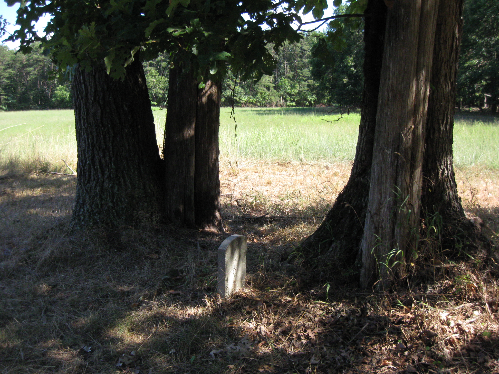
This is a marker showing the fifth position of the 7th Georgia Infantry Regiment during the First Battle of Manassas on July 21, 1861. Its location makes it a marker not often seen by Manassas visitors. This image was taken facing southwest at approximately 4:15 PM on Sunday, July 31, 2011.
The Gettysburg Daily decided on Thursday, July 21, 2011 that after finishing their tours at Gettysburg to drive to Manassas. The goal was to stand on the ground on the 150th anniversary of the Battle of First Manassas, to document the scene, and to avoid the crowds.
In the first Manassas 150th Anniversary post we showed the structures that were put in place for the commemoration ceremonies of the 150th Anniversary of the Battle of First Manassas (First Bull Run).
In the sixth First Manassas 150th Anniversary post we found the base to the first monument to Colonel Francis Bartow. Dedicated on September 4, 1861, Bartow’s monument was probably the first Civil War monument.
In today’s First Manassas 150th Anniversary post we actually came back ten days after the anniversary to look for the marker to the fifth position of the 7th Georgia Infantry Regiment.
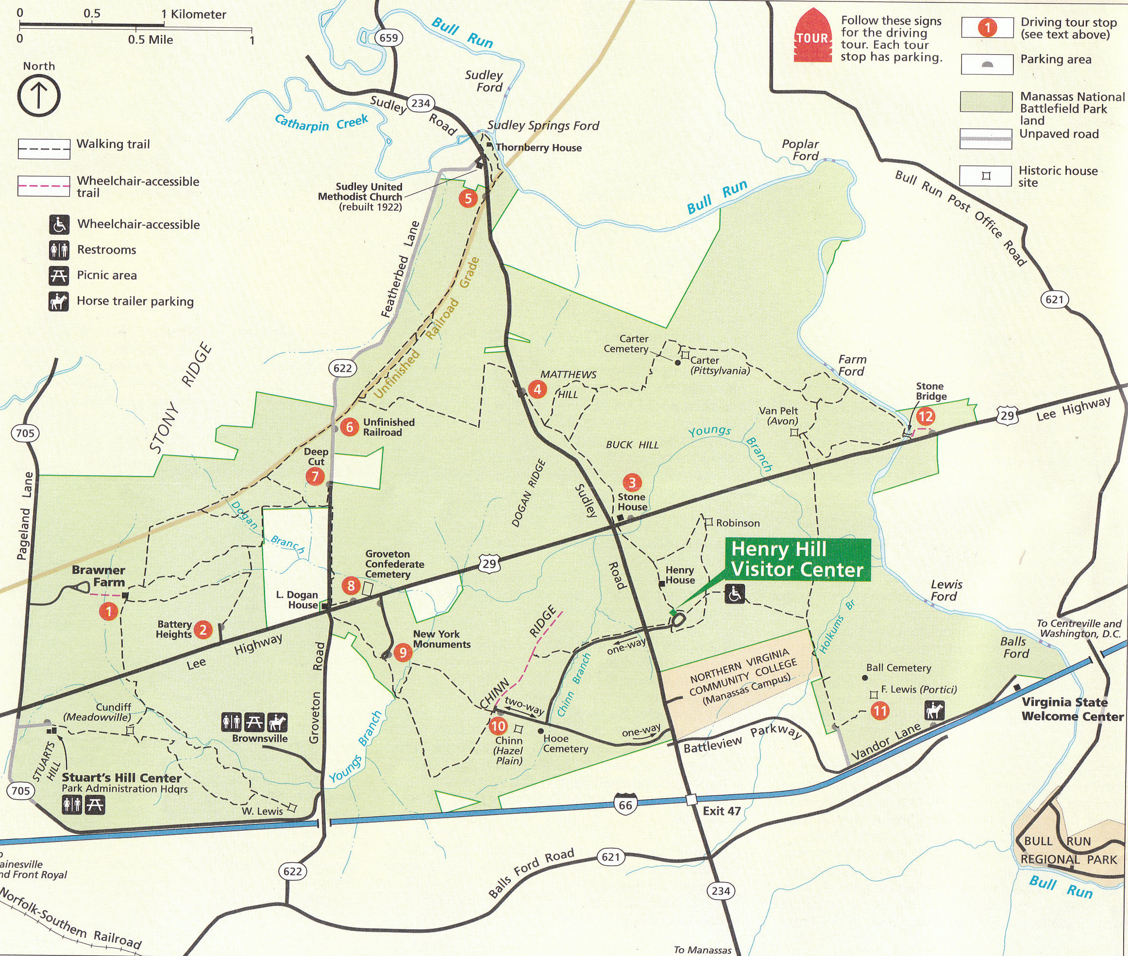
This is the National Park Service Map of Manassas National Battlefield. Most of the map shows areas concerning the Second Battle of Manassas, which was fought from August 28-30, 1862. Today, we are concerned about the First Battle of Manassas, which was fought on July 21, 1861. This final stages of the battle centered around the Henry Hill area, shown in the bottom right of the map. This map was scanned facing north at approximately 11:00 AM on Friday, July 22, 2011.
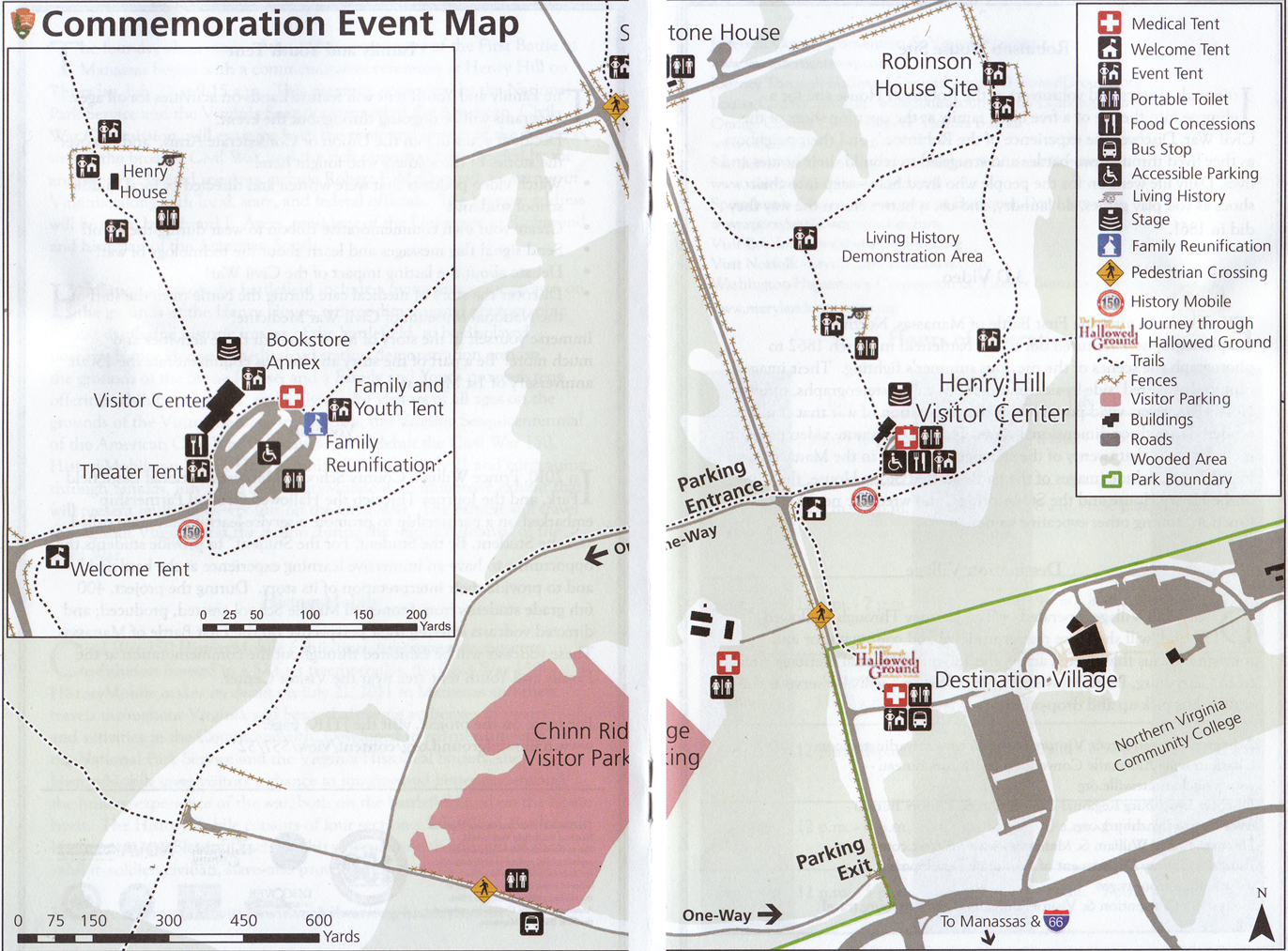
This is the National Park Service Map of the area around Henry Hill for the 150th anniversary period. Large tents, tractor trailers, Coca Cola trucks, Pepsi trucks, food stands, etc… dot the hill of the first major land battle of the American Civil War. So if you had thoughts of going to the battlefield and to be transported back in time 150 years ago, that was difficult. This map was scanned facing north at approximately 11:00 AM on Friday, July 22, 2011.
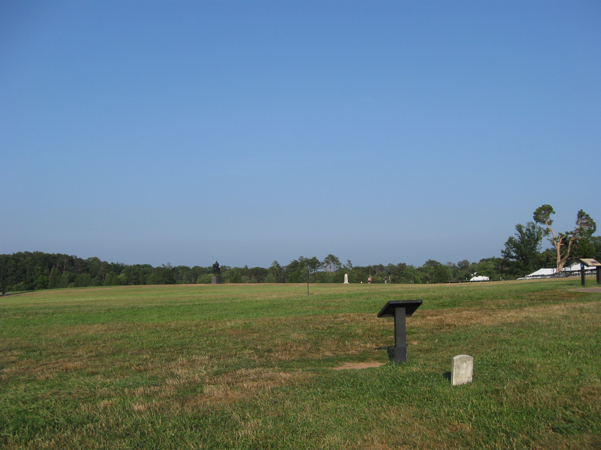
In our first Battle of Manassas 150th Anniversary post, we showed a marker to the 7th Georgia Infantry Regiment. It is the small light colored limestone marker at the bottom right of this photograph. The 7th Georgia attacked from the woods in the background towards this position which was held by Captain James Rickett’s Battery I, 1st United States Artillery. The Stonewall Jackson statue is visible near the center of this photograph. This view was taken facing northeast at approximately 8:00 PM on Thursday, July 21, 2011.
Here is the stone that many visitors have read since it was erected circa 1903. This view was taken facing southwest at approximately 8:00 PM on Thursday, July 21, 2011.
This wayside provides information on the 7th Georgia markers and informs the viewer that one other marker exists. This sign states that the other marker is 350 yards southeast from this position. That probably throws many people off who desire to look for it, because the marker is actually northeast of this position. This view was taken facing southwest at approximately 4:15 PM on Sunday, July 31, 2011.
This map shows the position of the two remaining markers to the 7th Georgia Infantry Regiment. The marker that most visitors see is the red star on the left of this image. The marker that we are featuring in this post is the red star on the right of the map. This view was taken facing north at approximately 12:00 PM on Sunday, September 11, 2011.
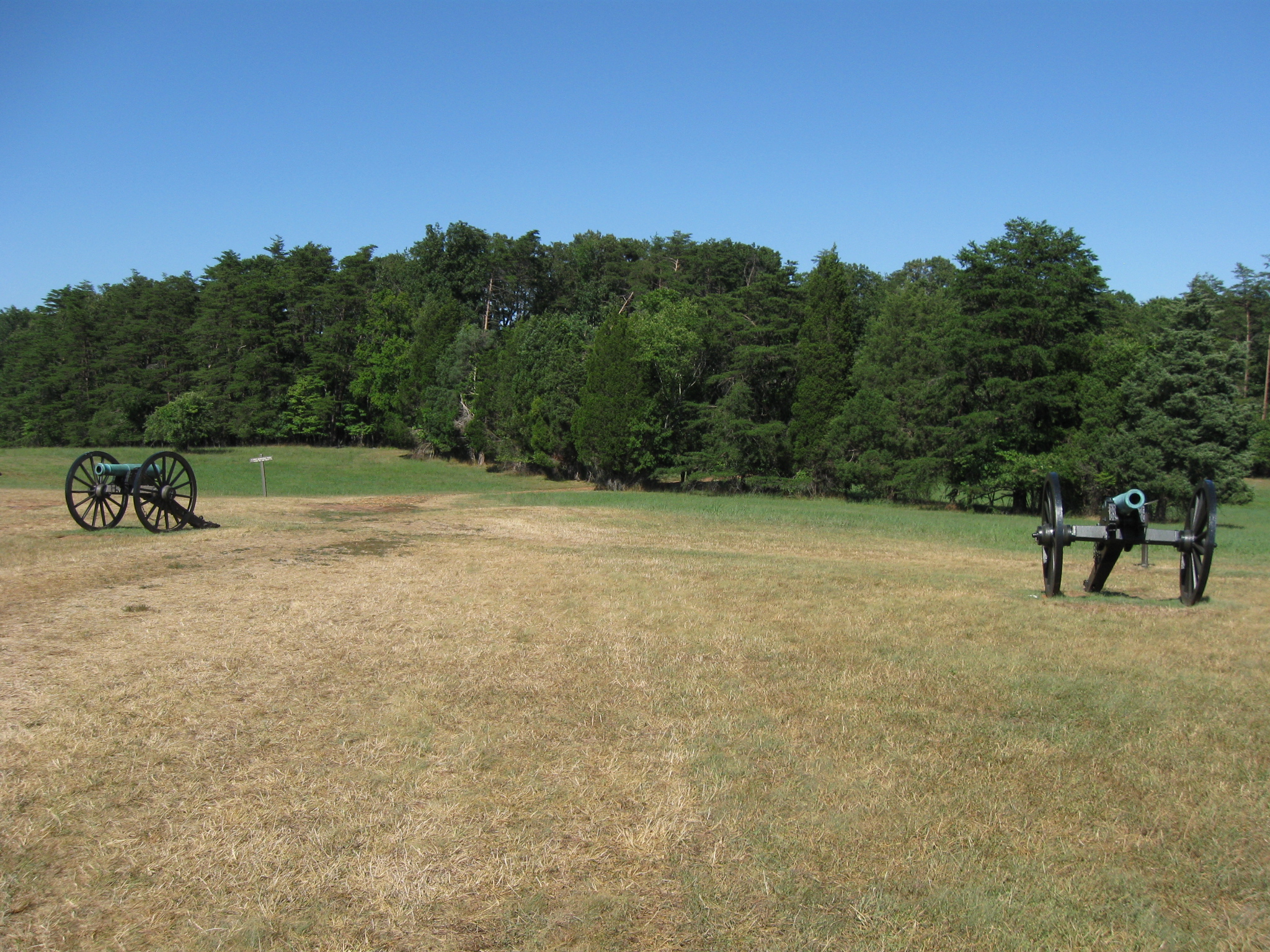
We came back ten days after the anniversary to attempt to find the marker. We did get some okay instructions from the National Park Service information desk, but nothing very specific. Therefore, we want to visually show our viewers how to get to the marker of this regiment. We are walking towards the artillery line formed by Thomas J. “Stonewall Jackson” on the east side of Henry Hill. This view was taken facing northeast at approximately 4:15 PM on Sunday, July 31, 2011.
We will walk between these two guns. Notice the small sign to the right of the gun on the left. This view was taken facing northeast at approximately 4:15 PM on Sunday, July 31, 2011.
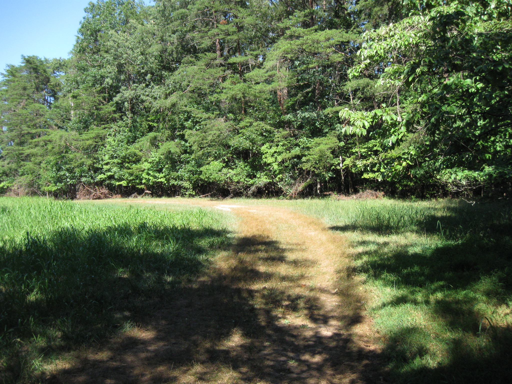
Here is a pathway known as the First Manassas Trail. We will follow it into the row of cedar trees. This view was taken facing northeast at approximately 4:15 PM on Sunday, July 31, 2011.
The row of cedar trees forms a not very wide screen as there is an open area on the other side of the trees. This view was taken facing east at approximately 4:15 PM on Sunday, July 31, 2011.
We’ll follow this trail marker for now, but we won’t be for very long. This view was taken facing east at approximately 4:15 PM on Sunday, July 31, 2011.
When we enter the woods, the First Manassas Trail is on the right, but we need to take the path on the left. This view was taken facing east at approximately 4:15 PM on Sunday, July 31, 2011.
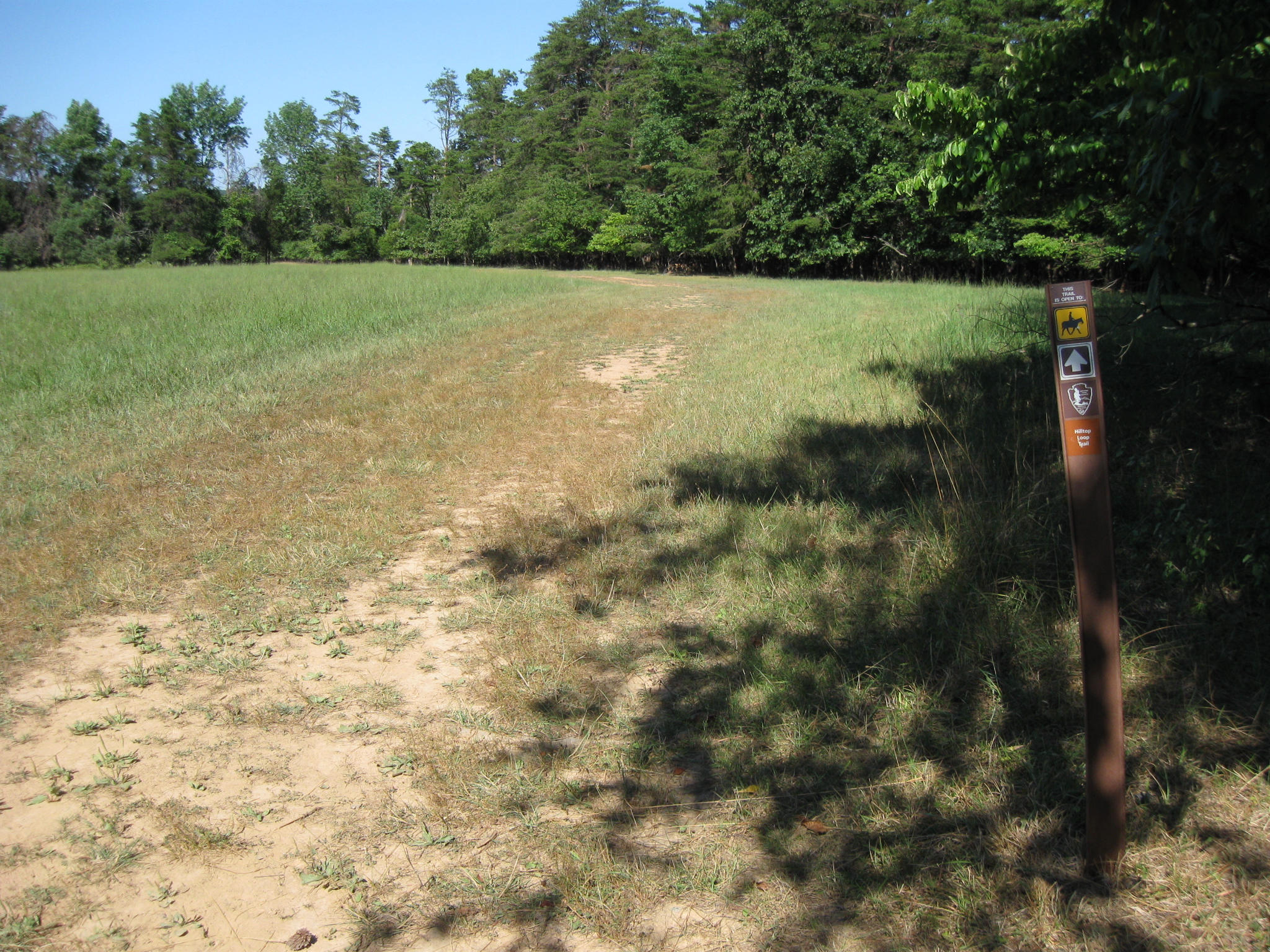
This is a trail/road used by National Park Service maintenance vehicles. This view was taken facing northeast at approximately 4:15 PM on Sunday, July 31, 2011.
It is named the “Hilltop Loop Trail.” This view was taken facing northeast at approximately 4:15 PM on Sunday, July 31, 2011.
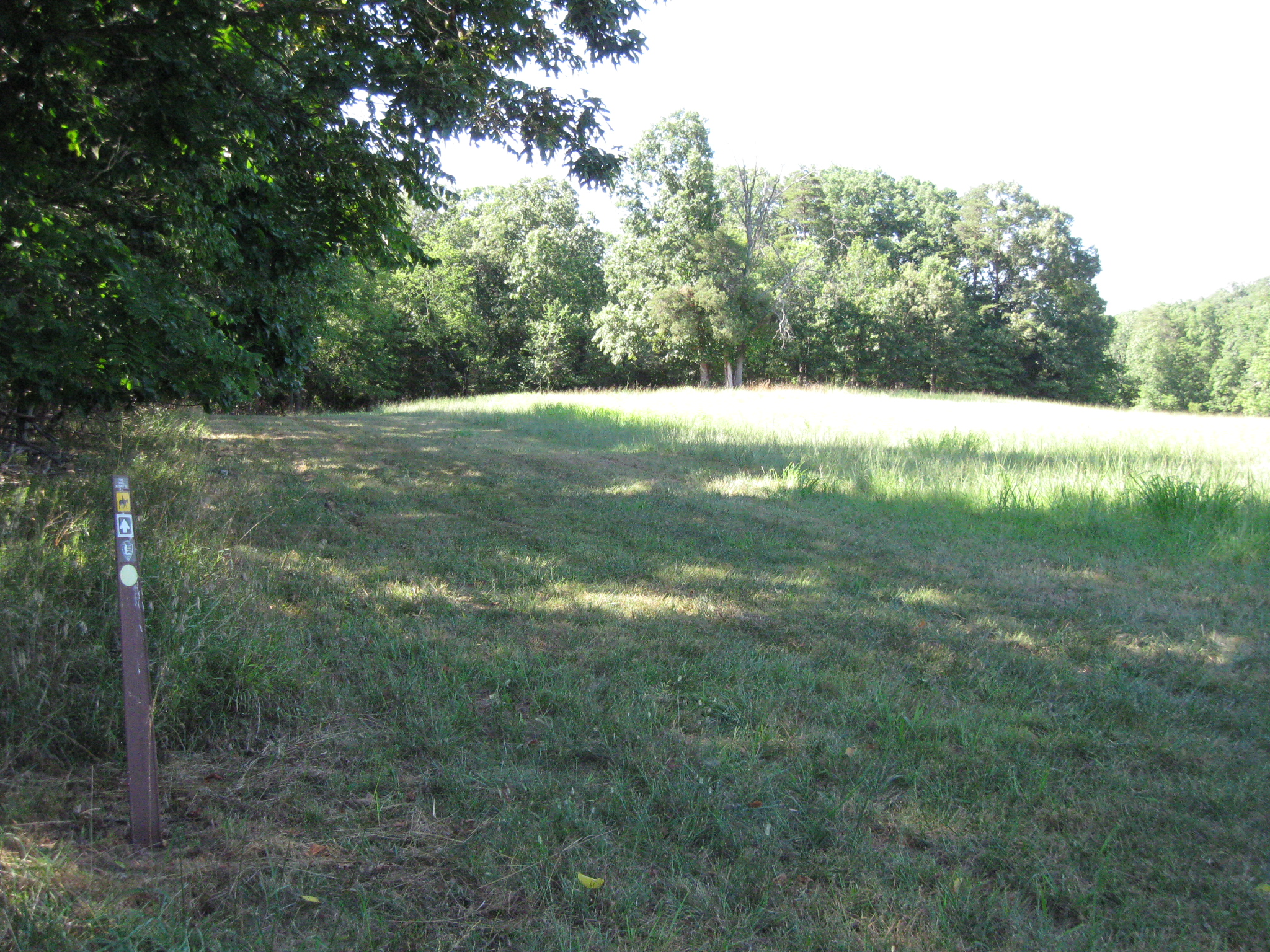
After we pass the “Hilltop Loop Trail” marker, we need to take an immediate left. There are more than a few trees in the center background. Our objective is the dead tree in the center of this photograph. This view was taken facing northwest at approximately 4:15 PM on Sunday, July 31, 2011.
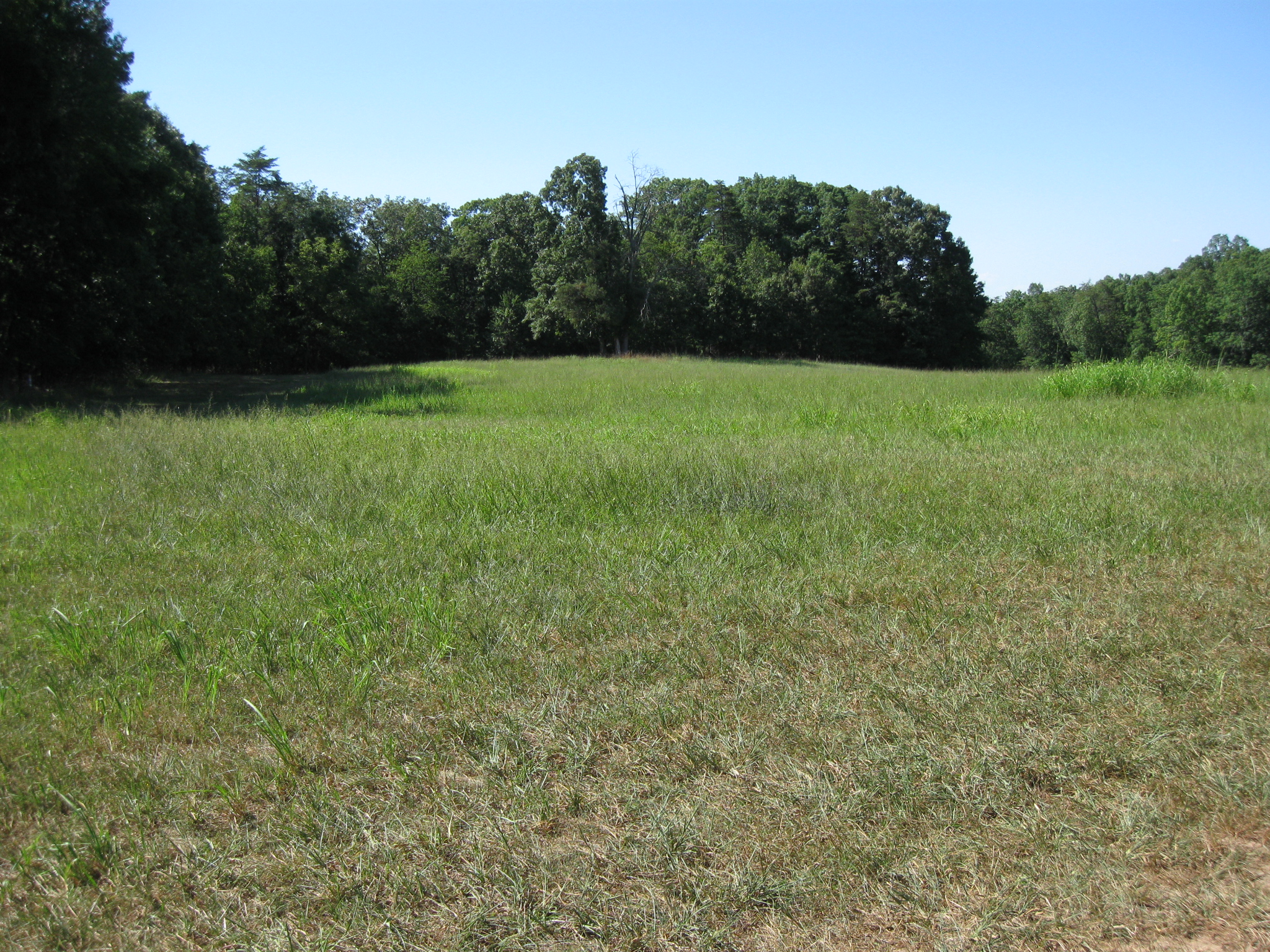
Although it is difficult to see in this picture, there is a wide mowed path directly ahead of us leading towards the woodline. This view was taken facing northwest at approximately 4:15 PM on Sunday, July 31, 2011.
The path follows the edge of the woods. Our objective is the dead tree in the center of this view. This view was taken facing northwest at approximately 4:15 PM on Sunday, July 31, 2011.
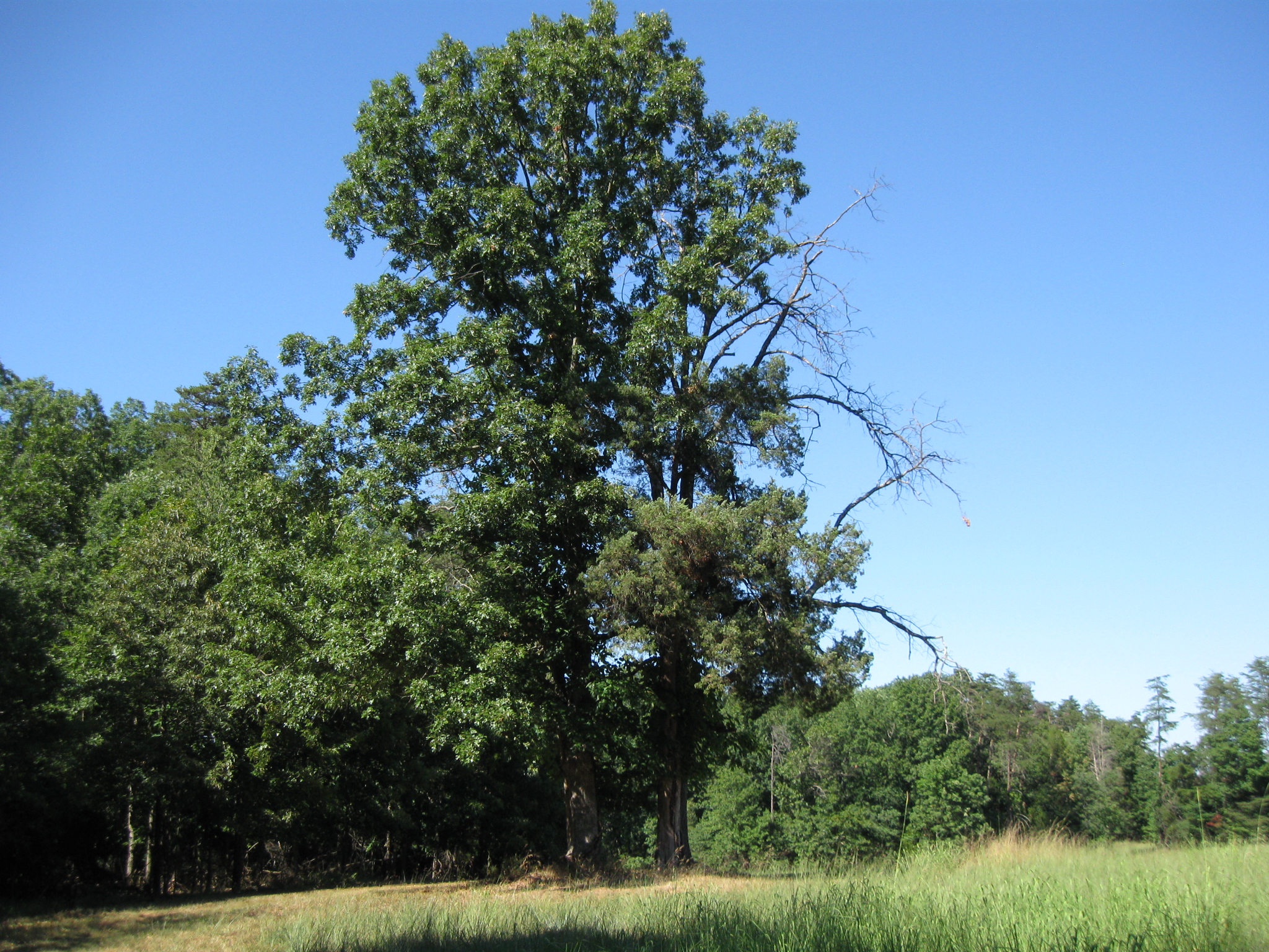
The mowed pathway curves to the right at the trees in the background. Our tree is on the right. This view was taken facing north at approximately 4:15 PM on Sunday, July 31, 2011.
There are currently four trees at our objective. Two of them are oak trees (including the deceased tree). The other two are cedar trees. This view was taken facing north at approximately 4:15 PM on Sunday, July 31, 2011.
This is one realizes that they have been successful in their quest. This view was taken facing east at approximately 4:15 PM on Sunday, July 31, 2011.
The marker is to the left of the trees. This view was taken facing east at approximately 4:15 PM on Sunday, July 31, 2011.
Just like the other existing 7th Georgia marker, there is no inscription on the back. This view was taken facing east at approximately 4:15 PM on Sunday, July 31, 2011.
We came from the area of the woods in the background, and walked towards this area. This view was taken facing southeast at approximately 4:15 PM on Sunday, July 31, 2011.
The National Park Service website states the following about the missing markers to the 7th Georgia: “Unfortunately, the other stone markers are no longer found at their original locations on the battlefield. Twentieth-century farming operations, road widening projects, relic hunting, irreverent vandalism and neglect have led to their loss or removal from this commemorative landscape.” This view was taken facing southwest at approximately 4:15 PM on Sunday, July 31, 2011.
The National Park Service website continues: “Clearly, the small dimensions of these markers have made them especially vulnerable to these threats.” This view was taken facing northwest at approximately 4:15 PM on Sunday, July 31, 2011.
The “out of the way” location of this marker may have helped save it from vandalism/destruction. This view was taken facing southwest at approximately 4:15 PM on Sunday, July 31, 2011.
We feel the best book on the Battle of First Manassas is John Hennessy’s book, First Battle of Manassas: An End to Innocence. It is part of the Virginia Civil War Battles and Leaders Series by H.E. Howard. This image was scanned facing north at approximately 7:40 PM on Sunday, August 7, 2011.